Barley Wood
Wood, Forest in Devon Exeter
England
Barley Wood

Barley Wood, located in Devon, England, is a picturesque woodland area known for its natural beauty and rich history. The wood is situated in the heart of the Devon countryside and covers a vast area of approximately 500 acres.
This ancient forest is characterized by its dense canopy of tall, mature trees, including oak, beech, and ash. The variety of tree species creates a diverse ecosystem, providing a habitat for a wide range of flora and fauna. The forest floor is adorned with a lush carpet of ferns, bluebells, and wildflowers, creating a vibrant and colorful landscape.
Barley Wood has a long and fascinating history, dating back centuries. It was once part of a larger estate and has been owned by several prominent families over the years. Today, it is managed by the local council and is open to the public, offering visitors a tranquil escape from the hustle and bustle of everyday life.
The wood is crisscrossed with a network of walking trails, allowing visitors to explore the area at their own pace. These trails lead to various points of interest, such as ancient ruins, hidden caves, and scenic viewpoints. Wildlife enthusiasts will also enjoy the opportunity to spot a variety of bird species, deer, foxes, and other woodland creatures.
Barley Wood is a haven for nature lovers and outdoor enthusiasts alike, offering a peaceful retreat where visitors can immerse themselves in the beauty of nature and experience the serenity of the Devon countryside.
If you have any feedback on the listing, please let us know in the comments section below.
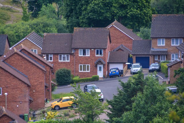
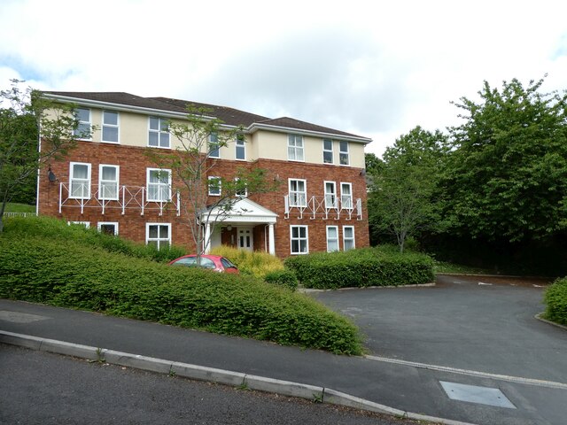
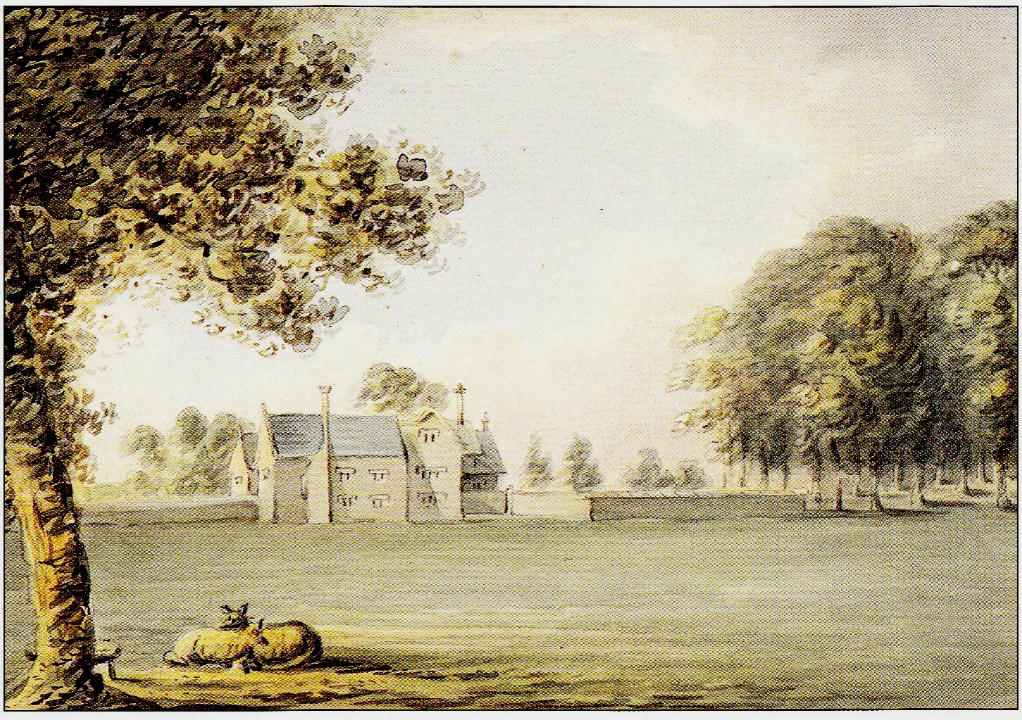
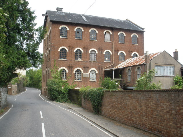
Barley Wood Images
Images are sourced within 2km of 50.726951/-3.5683311 or Grid Reference SX8993. Thanks to Geograph Open Source API. All images are credited.


Barley Wood is located at Grid Ref: SX8993 (Lat: 50.726951, Lng: -3.5683311)
Administrative County: Devon
District: Exeter
Police Authority: Devon and Cornwall
What 3 Words
///empire.awards.tracks. Near Exeter, Devon
Nearby Locations
Related Wikis

Exeter TMD
Exeter Traction Maintenance Depot (or Exeter TMD) is a railway Traction Maintenance Depot situated in Exeter, Devon, United Kingdom and is next to the...

Exeter St Davids railway station
Exeter St Davids is the principal railway station serving the city of Exeter in Devon, England. It is 193 miles 72 chains (193.90 mi; 312.1 km) from the...
Cowick, Devon
Cowick is a suburb of the City of Exeter in Devon. Historically it was a manor situated in the parish of St Thomas, Exeter, within the hundred of Wonford...
Exwick
Exwick is an historic parish and manor in Devon, England, which today is a north-western suburb of the City of Exeter. Its name is derived from the River...

Exeter College, Devon
Exeter College is a general further education college in Exeter, Devon; it was first such college in England, and is currently the highest-ranked in the...
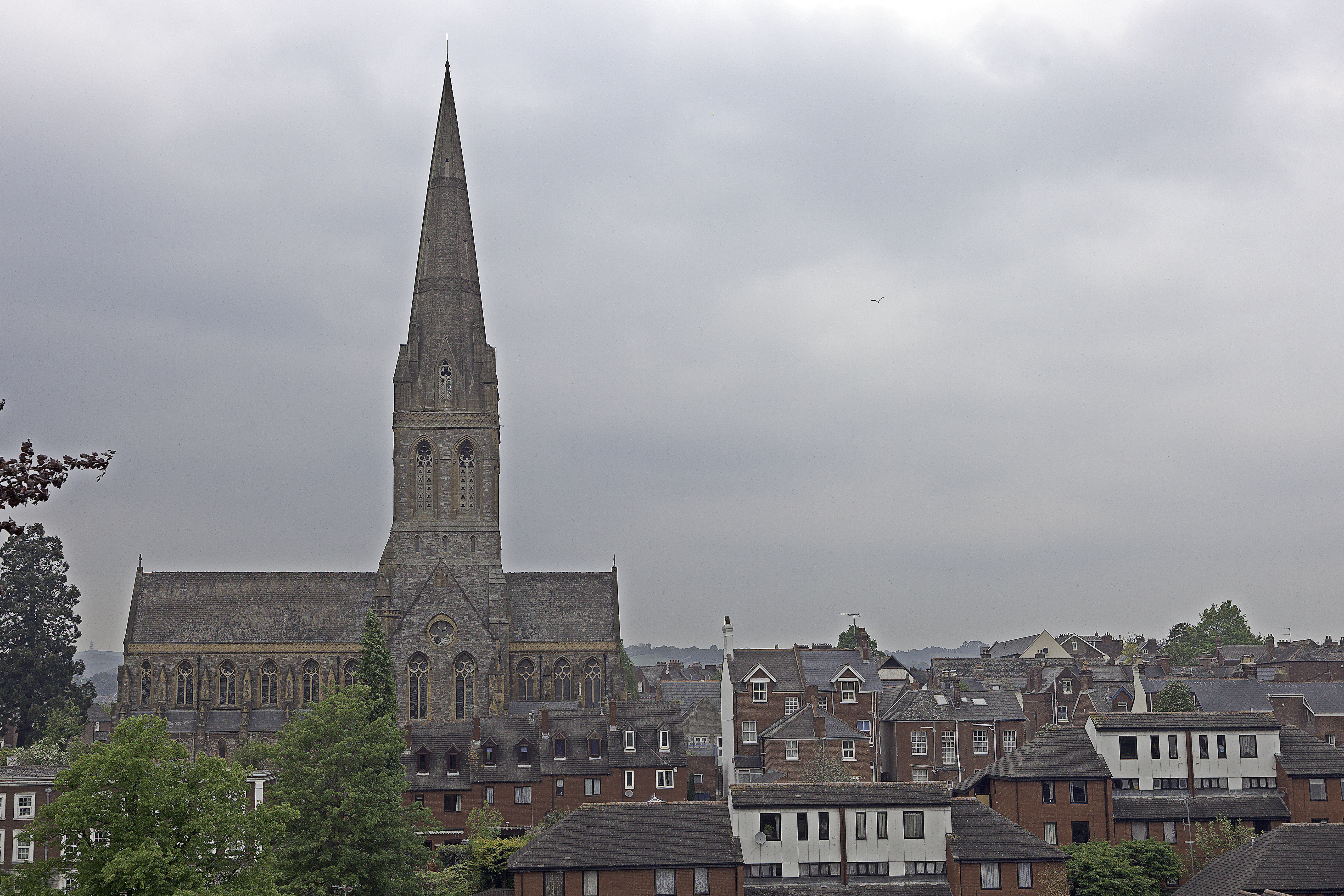
St Michael and All Angels Church, Mount Dinham, Exeter
St Michael and All Angels Church, on Mount Dinham in Exeter is an Anglican church in Devon, England. It is a Grade I listed building. The church is Anglo...

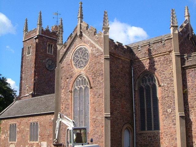
St David's Church, Exeter
St David's Church, Exeter is a church in Exeter, Devon. It is a Grade I listed building. == History == There has been a church on this site since the late...
St Thomas the Apostle Urban District
A former urban district in Devon, England. Created in 1894, absorbed into the municipal borough of Exeter in 1900. == See also == St Thomas, Exeter
Nearby Amenities
Located within 500m of 50.726951,-3.5683311Have you been to Barley Wood?
Leave your review of Barley Wood below (or comments, questions and feedback).