Burrow Wood
Wood, Forest in Somerset Somerset West and Taunton
England
Burrow Wood

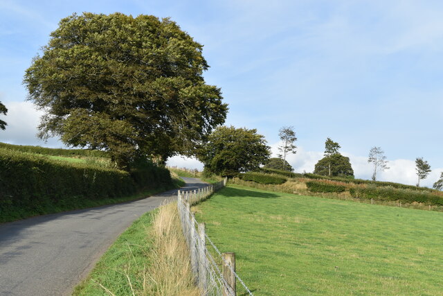
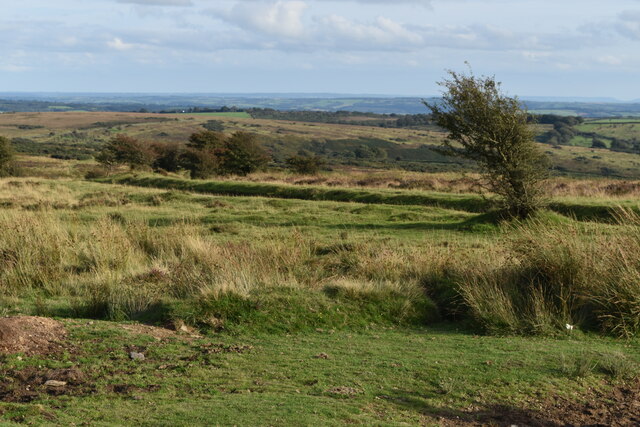
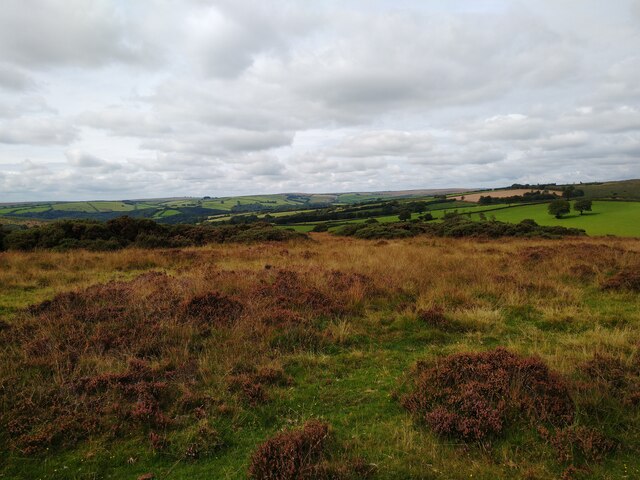
Burrow Wood is a picturesque forest located in Somerset, England. Situated near the village of Burrowbridge, this woodland covers an area of approximately 150 acres. It is renowned for its natural beauty, diverse flora and fauna, and tranquil atmosphere.
The forest is predominantly composed of deciduous trees, including oak, beech, and ash, which create a dense canopy that provides shade during the summer months. The woodland floor is carpeted with a variety of wildflowers, such as bluebells and primroses, adding bursts of color to the landscape.
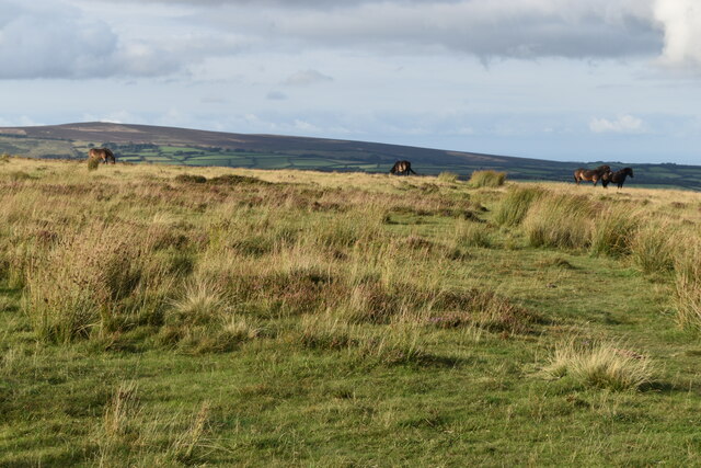
Burrow Wood is home to a rich assortment of wildlife. Visitors can often spot deer, foxes, badgers, and various species of birds, including woodpeckers and owls. The forest provides a habitat for these creatures, offering shelter, food, and protection.
The woodland is crisscrossed by several well-maintained footpaths, allowing visitors to explore its various trails. These paths wind through the trees, offering breathtaking views of the surrounding countryside. The forest also features a small stream, which adds to its charm and provides a peaceful background soundtrack.
Burrow Wood is a popular destination for outdoor enthusiasts, nature lovers, and photographers. It offers a tranquil escape from the hustle and bustle of nearby towns and cities, allowing visitors to immerse themselves in the beauty of nature. Whether one is seeking a leisurely stroll, a picnic spot, or a chance to reconnect with the natural world, Burrow Wood is a fantastic choice.
If you have any feedback on the listing, please let us know in the comments section below.
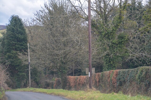
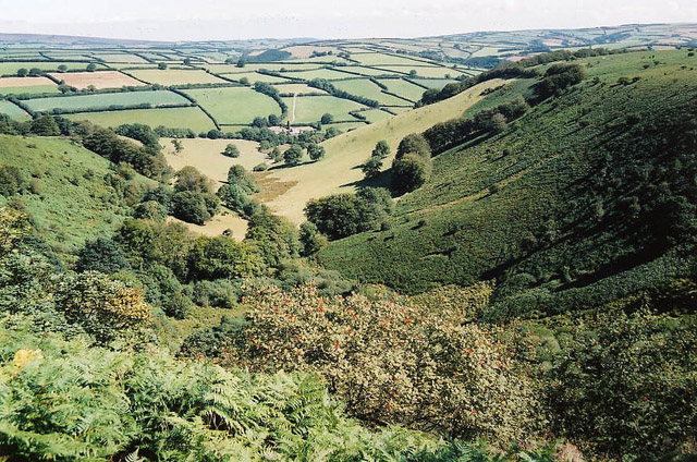
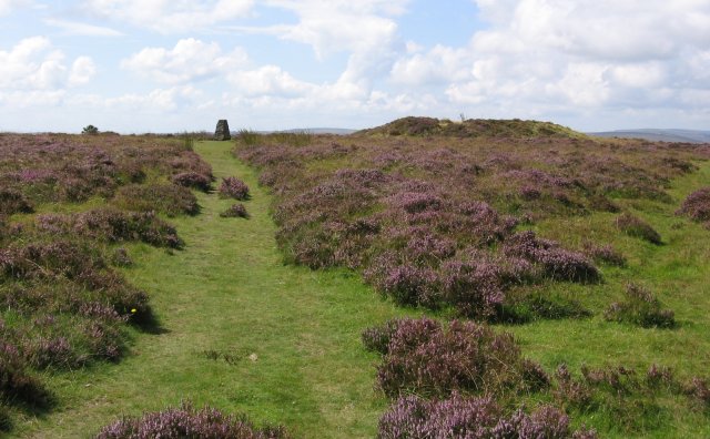
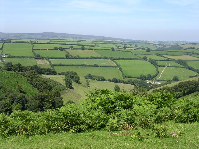
Burrow Wood Images
Images are sourced within 2km of 51.10208/-3.582252 or Grid Reference SS8934. Thanks to Geograph Open Source API. All images are credited.


Burrow Wood is located at Grid Ref: SS8934 (Lat: 51.10208, Lng: -3.582252)
Administrative County: Somerset
District: Somerset West and Taunton
Police Authority: Avon and Somerset
What 3 Words
///cold.newlywed.just. Near Dulverton, Somerset
Nearby Locations
Related Wikis

Garratts Wood
Garratts Wood is a woodland in Somerset, England, near the village of Winsford. It covers a total area of 1.11 hectares (2.74 acres). It is owned and managed...
Winsford, Somerset
Winsford is a village and civil parish in Somerset, England, located about 5 miles (8 km) north-west of Dulverton. It is within the borders of the Exmoor...

Exmoor
Exmoor is loosely defined as an area of hilly open moorland in west Somerset and north Devon in South West England. It is named after the River Exe, the...

Caratacus Stone
The Caratacus Stone, sometimes known as the Caractacus Stone, is an inscribed stone on Exmoor in Somerset, England. It is thought to date from the 6th...

South Exmoor SSSI
South Exmoor (grid reference SS880340) is a 3132.7 hectare (7742.3 acre) biological Site of Special Scientific Interest in Devon and Somerset, England...

St Peter's Church, Exton
The Anglican St Peter's Church at Exton within the English county of Somerset has a 13th-century tower and 15th century aisle. It is a Grade II* listed...
Exton, Somerset
Exton is a village and civil parish 5 miles (8 km) north-east of Dulverton and 9 miles (14 km) south-west of Dunster in Somerset, England. It lies on the...

Tarr Steps
The Tarr Steps is a clapper bridge across the River Barle in the Exmoor National Park, Somerset, England. They are located in a national nature reserve...
Nearby Amenities
Located within 500m of 51.10208,-3.582252Have you been to Burrow Wood?
Leave your review of Burrow Wood below (or comments, questions and feedback).