City

Settlement in Montgomeryshire

Wales

City
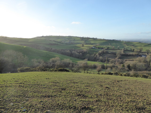
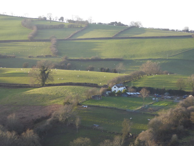
Upland view near Sarn, Powys Looking down from near Cefn-y-bryn to the lowland farms.
Upland view near Sarn, Powys Credit: Jeremy Bolwell

City, Montgomeryshire is a small town located in the heart of Montgomeryshire, Wales. With a population of approximately 5,000 residents, City is a close-knit community known for its charming, historical architecture and picturesque surroundings.

The town is home to a variety of amenities, including shops, restaurants, and parks, making it a convenient and pleasant place to live. City also boasts a strong sense of community spirit, with regular events and activities organized by local residents and organizations.

City is situated in a beautiful rural setting, surrounded by rolling hills and lush countryside. The town is a popular destination for outdoor enthusiasts, with plenty of opportunities for hiking, biking, and exploring the natural beauty of Montgomeryshire.

Overall, City, Montgomeryshire is a peaceful and welcoming town that offers a high quality of life for its residents. Its small size and friendly atmosphere make it an ideal place to live for those seeking a quiet and close-knit community in a beautiful rural setting.

If you have any feedback on the listing, please let us know in the comments section below.

City Images

Images are sourced within 2km of 52.500981/-3.163033 or Grid Reference SO2189. Thanks to Geograph Open Source API. All images are credited.

Upland view near Sarn, Powys Looking down from near Cefn-y-bryn to the lowland farms.
Upland view near Sarn, Powys
Looking down from near Cefn-y-bryn to the lowland farms.
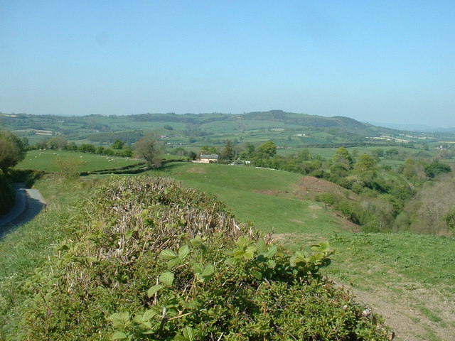
View from Cefn-y-bryn to Cwmearl Bank Lovely location.
View from Cefn-y-bryn to Cwmearl Bank
Lovely location.
Kerry Ridgeway
Kerry Ridgeway
Forest, Kerry Ridgeway
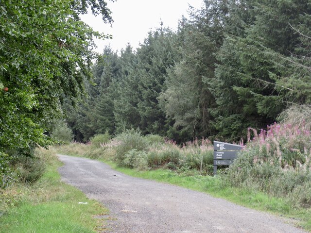
Logging road, Ceri Forestry road leaving the ridgeway. Usual signs trying to ward off motorised pests. The ridgeway itself is open to motors here.
Logging road, Ceri
Forestry road leaving the ridgeway. Usual signs trying to ward off motorised pests. The ridgeway itself is open to motors here.
Cwmearl Bank That's the name of the cottage in the centre of the photo.
Cwmearl Bank
That's the name of the cottage in the centre of the photo.
Leaving Sarn along the long straight A489 eastbound. This is the short stretch of the A489 within this particular grid square
Leaving Sarn along the long straight
A489 eastbound. This is the short stretch of the A489 within this particular grid square
Rapeseed Field Flowering Rapeseed off the A489 Sarn.
Rapeseed Field
Flowering Rapeseed off the A489 Sarn.
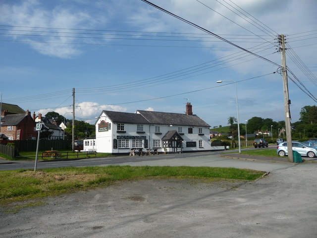
The Sarn Inn at Sarn, Powys A roadside inn.
The Sarn Inn at Sarn, Powys
A roadside inn.
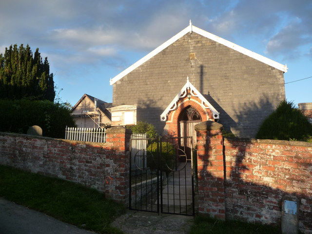
Sarn Baptist Church The date plaque reads 1827 if I'm not mistaken.
Sarn Baptist Church
The date plaque reads 1827 if I'm not mistaken.
Leaving Sarn on A489
Layby on A489 east of Sarn
Caebitra valley Autumn sunshine in this view towards Gwern-y-go and Caeliber Isaf.
Mix of arable land and pasture here.
Caebitra valley
Autumn sunshine in this view towards Gwern-y-go and Caeliber Isaf. Mix of arable land and pasture here.
Unusual crop near White Hopton It is field-grown Iris for the nursery trade.
Unusual crop near White Hopton
It is field-grown Iris for the nursery trade.
Alongside Cwm Hopton Looking uphill to the top of the Pant Hill ridge.
Alongside Cwm Hopton
Looking uphill to the top of the Pant Hill ridge.
Pant Hill 418m outlier of the Cambrian Mountains viewed from near White Hopton.
Pant Hill
418m outlier of the Cambrian Mountains viewed from near White Hopton.
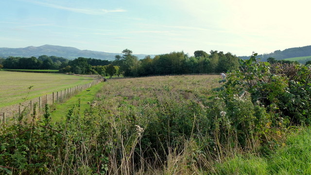
Field and wood near City, Powys Lovely view on a sunny Boxing Day.
Field and wood near City, Powys
Lovely view on a sunny Boxing Day.
Dilapidated telephone box at City, Powys In a much worse state than in the most recent geograph photo taken back in 2010 by Oliver Dixon <a title="https://www.geograph.org.uk/photo/1934090" href="https://www.geograph.org.uk/photo/1934090">Link</a> here.
Dilapidated telephone box at City, Powys
In a much worse state than in the most recent geograph photo taken back in 2010 by Oliver Dixon Link here.
Show me another place!

City is located at Grid Ref: SO2189 (Lat: 52.500981, Lng: -3.163033)

Unitary Authority: Powys

Police Authority: Dyfed Powys

What 3 Words

///tightrope.starter.train. Near Mainstone, Shropshire

Nearby Locations

City

Related Wikis

City, Powys

City is a hamlet in Powys, Wales. == Geography == City is 0.75 miles (1.21 km) from the small village of Sarn (which is situated on the A489 road) and...

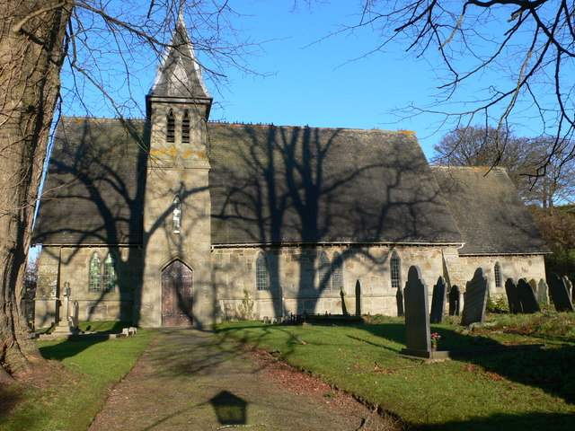
Holy Trinity Church, Sarn

Holy Trinity Church is a Church of England parish church in Sarn, Powys, Wales. It was constructed in 1860 and is one of a small number of churches in...

Sarn, Powys

Sarn is a small village in Powys, Wales. The village lies on the A489 road 6.4 miles (10.3 km) east of Newtown. There is a bus service through the village...

Great Cefnyberen

Great Cefnyberen (Welsh: Cefnyberen Fawr) is a Grade II timber framed house in the township of Cefnyberen in the historic parish of Kerry, Montgomeryshire...

Nearby Amenities

Located within 500m of 52.500981,-3.163033
City
Place: hamlet
Wikidata: Q5122935
Lat/Long: 52.501411/-3.1637732
Bachaethlon
Place: hamlet
Lat/Long: 52.5044182/-3.1643841
Ford: yes
Source: Bing
Lat/Long: 52.4989066/-3.1676786
Direction: SSW
Generator Method: photovoltaic
Generator Output Electricity: yes
Generator Solar Modules: 6
Generator Source: solar
Generator Type: solar_photovoltaic_panel
Location: roof
Power: generator
Lat/Long: 52.5017182/-3.1635888
Direction: SSW
Generator Method: photovoltaic
Generator Output Electricity: yes
Generator Solar Modules: 6
Generator Source: solar
Generator Type: solar_photovoltaic_panel
Location: roof
Power: generator
Lat/Long: 52.5017352/-3.1636639
The data included in this document is from www.openstreetmap.org. The data is made available under ODbL.

Have you been to City?

Leave your review of City below (or comments, questions and feedback).