Aller Grove
Wood, Forest in Devon Mid Devon
England
Aller Grove
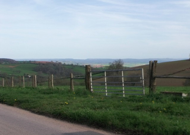
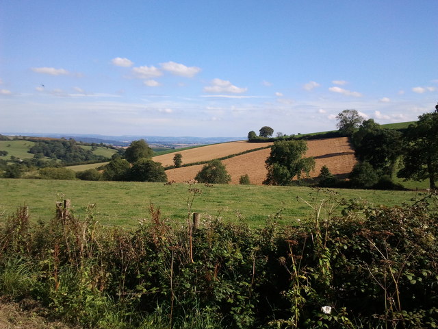
Aller Grove is a picturesque woodland located in the county of Devon, England. Nestled in the heart of the Aller Valley, this idyllic forest spans an area of approximately 300 acres and is a haven for nature enthusiasts and outdoor lovers alike.
The woodland is primarily composed of deciduous trees, with a rich variety of species including oak, beech, and ash. The lush undergrowth is adorned with bluebells, ferns, and wildflowers, creating a vibrant and enchanting atmosphere. A network of well-maintained footpaths weaves through the forest, allowing visitors to explore its beauty at their leisure.
Wildlife thrives within Aller Grove, making it a popular spot for birdwatching and wildlife observation. Numerous species of birds, including woodpeckers, owls, and warblers, can be spotted among the treetops. Additionally, squirrels, foxes, and deer roam freely throughout the woodland, adding to the natural charm and biodiversity of the area.
Aller Grove is not only a haven for nature, but also a recreational destination. Cyclists and walkers can enjoy the numerous trails that crisscross the forest, offering a range of difficulty levels to suit all abilities. Picnic areas dotted along the paths provide the perfect opportunity to relax and soak in the tranquil surroundings.
With its stunning scenery, diverse flora and fauna, and ample recreational opportunities, Aller Grove is a delight for visitors of all ages. Whether seeking a peaceful stroll through nature, a thrilling birdwatching expedition, or an exhilarating bike ride, this enchanting woodland in Devon offers a truly memorable experience.
If you have any feedback on the listing, please let us know in the comments section below.
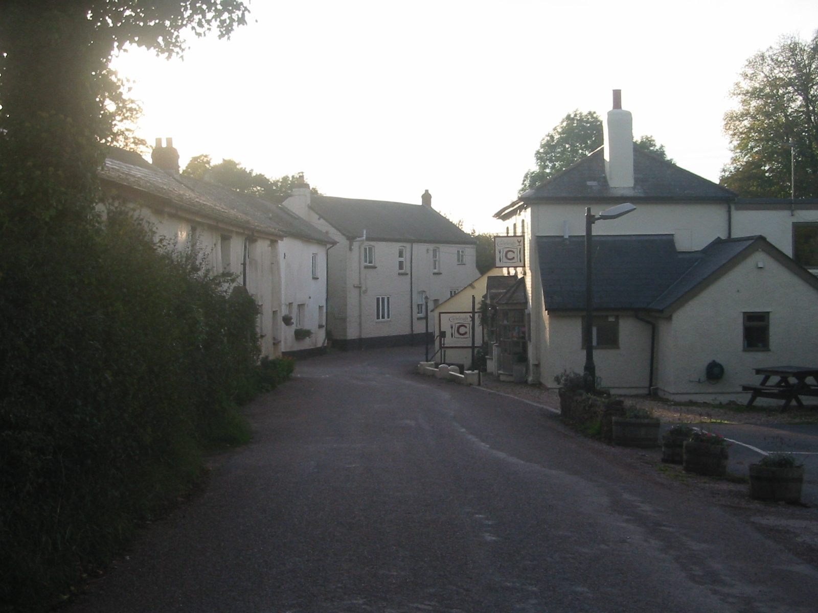
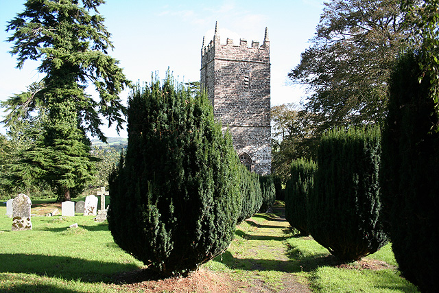
Aller Grove Images
Images are sourced within 2km of 50.835805/-3.5856685 or Grid Reference SS8805. Thanks to Geograph Open Source API. All images are credited.


Aller Grove is located at Grid Ref: SS8805 (Lat: 50.835805, Lng: -3.5856685)
Administrative County: Devon
District: Mid Devon
Police Authority: Devon and Cornwall
What 3 Words
///potential.games.meanders. Near Silverton, Devon
Nearby Locations
Related Wikis

Stockleigh Pomeroy
Stockleigh Pomeroy is a village and civil parish in Devon, England at the foot of the Raddon Hills. The parish church which is dedicated to St Mary the Virgin has a Norman doorway.In 2016, a new village hall was opened to replace the Nissen hut used formerly which was opened in 1950. The new hall was built using grants from various bodies as well as contributions from the local community of both time and money.

Cheriton Fitzpaine
Cheriton Fitzpaine is a village in Devon, England, located 4 miles (7 km) north-east of Crediton. The population of the parish in the 2011 Census was 556.The village is noted for its historic buildings, including the old Primary School, the longest thatched house in England. Cheriton Fitzpaine is a major part of the electoral ward Way, with a 2011 population of 1,603.
Cadeleigh
Cadeleigh is a small village in the county of Devon in England. It sits in the hills above the valley of the River Exe and is about 15 km (9 miles) north of Exeter and 6 km (4 miles) southwest of Tiverton. The village has a church that is dedicated to St.

Cadbury Castle, Devon
Cadbury Castle is an Iron Age Hillfort close to Bickleigh, Devon, England. It was later encamped by the Parliamentarian forces during the English Civil War under Thomas Fairfax when he laid siege to Bickleigh Castle. The site is situated some 250 metres above sea level overlooking a series of valleys and down to the Exe Valley.

Cadbury, Devon
Cadbury is a village in Devon, England. Cadbury Castle is nearby. The 15th-century Church of St Michael and All Angels features a Norman font.
Stockleigh English
Stockleigh English is a village and civil parish in Devon, England. It has a 15th-century church, Saint Mary the Virgin, which was restored 1878–83.Stockleigh Court in the parish is a grade II listed building which was the home of the Bellew family who lived at Stockleigh Court from the 16th to 20th century.

Raddon Top
Raddon Top is the highest point of the Raddon Hills, a small ridge of hills in the Shobrooke area of Mid Devon. The summit is at some 235 metres above sea level, making it a significant feature in the surrounding countryside.There is an unclassified road that traverses the hill which is the main route from the village of Cheriton Fitzpaine to Exeter. There were earthworks on the summit, but by the 16th century these had almost been ploughed away.

Poughill, Devon
Poughill (pronounced "po-il") is a village and civil parish in Devon, England. It lies 5 miles (8 km) north of Crediton. In 2011, the parish had a population of 216.Anciently, Poughill was held by the Poughill or Poghill family and was recorded in the Domesday Book in 1086.
Nearby Amenities
Located within 500m of 50.835805,-3.5856685Have you been to Aller Grove?
Leave your review of Aller Grove below (or comments, questions and feedback).