Colescombe Wood
Wood, Forest in Somerset Somerset West and Taunton
England
Colescombe Wood
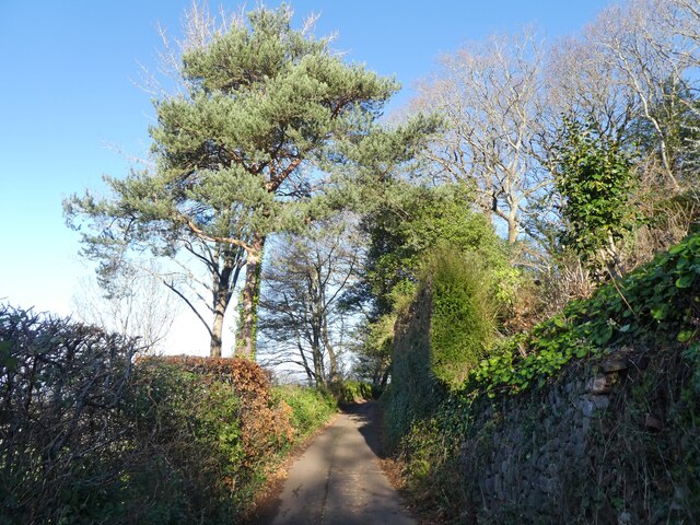
Colescombe Wood is a picturesque woodland located in Somerset, England. Spread across an area of approximately 50 acres, the wood is renowned for its natural beauty and diverse range of flora and fauna. Situated near the village of Colescombe, the wood attracts both locals and tourists who seek a tranquil escape from the hustle and bustle of everyday life.
The wood is predominantly composed of broadleaf trees, including oak, beech, and ash, which create a dense canopy that provides shade and shelter to the woodland floor. Bluebells, wild garlic, and wood anemones carpet the ground during spring, adding a burst of color to the surroundings.
A network of well-maintained footpaths meanders through the wood, allowing visitors to explore its hidden corners and discover its natural treasures. Wildlife enthusiasts can spot various bird species, such as woodpeckers, nuthatches, and tawny owls, as well as mammals like squirrels, foxes, and deer. The wood is also home to a diverse range of insects and butterflies, making it an ideal spot for nature lovers and photographers.
Colescombe Wood is managed by a local conservation trust, which ensures its preservation and protection. The trust organizes guided walks and educational activities, providing visitors with an opportunity to learn about the wood's history, ecology, and conservation efforts.
Overall, Colescombe Wood offers a serene and enchanting experience for those seeking solace in nature. Its rich biodiversity, tranquil atmosphere, and well-maintained paths make it an idyllic destination for a leisurely stroll, wildlife spotting, or simply immersing oneself in the beauty of the natural world.
If you have any feedback on the listing, please let us know in the comments section below.
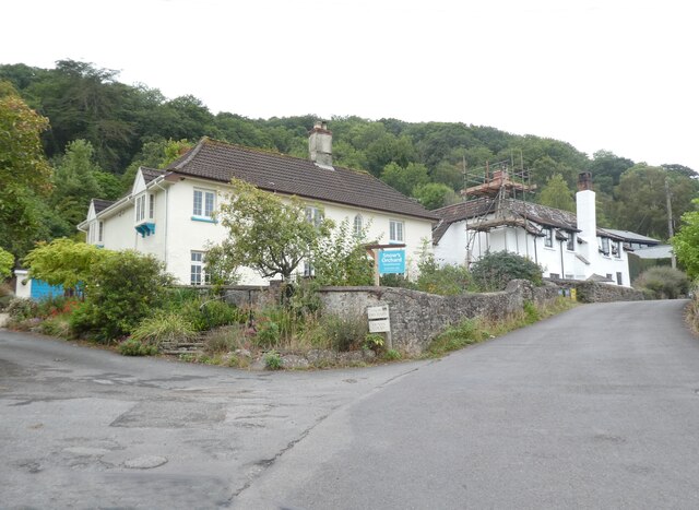
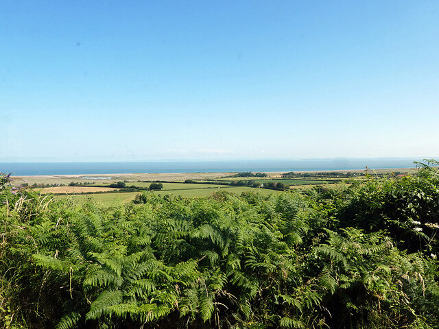
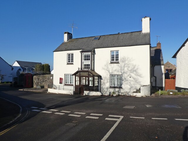
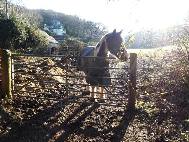
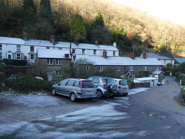
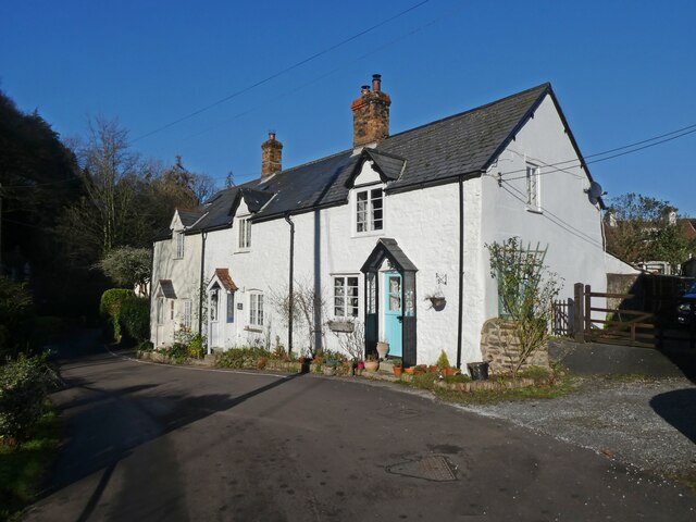
Colescombe Wood Images
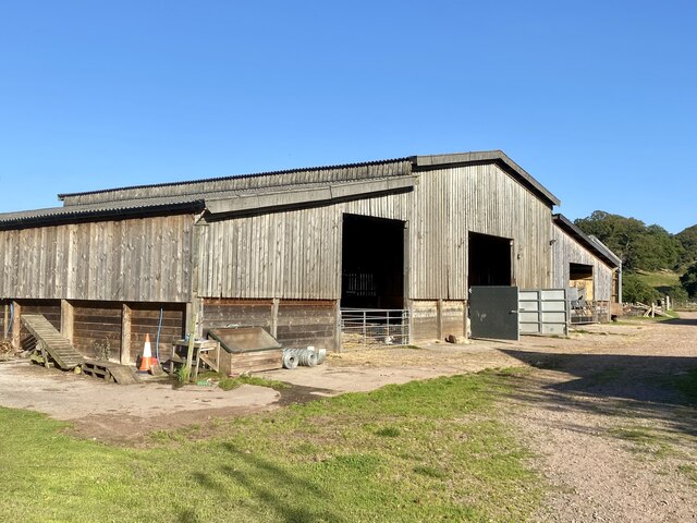
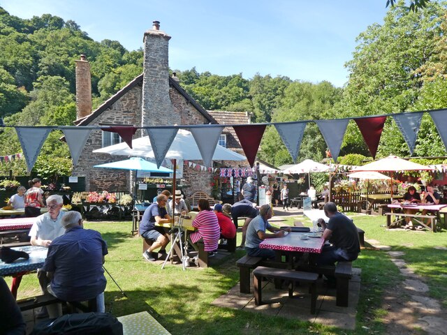
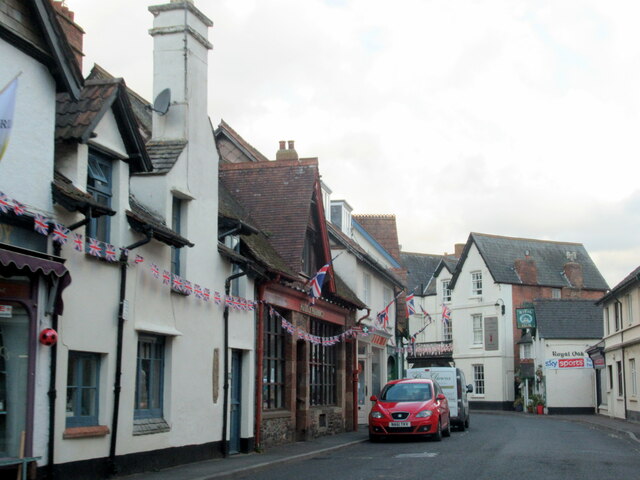
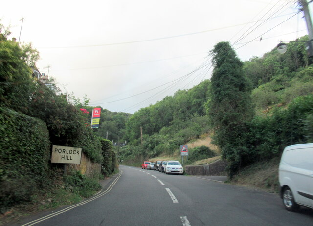
Images are sourced within 2km of 51.199114/-3.6025649 or Grid Reference SS8845. Thanks to Geograph Open Source API. All images are credited.


Colescombe Wood is located at Grid Ref: SS8845 (Lat: 51.199114, Lng: -3.6025649)
Administrative County: Somerset
District: Somerset West and Taunton
Police Authority: Avon and Somerset
What 3 Words
///differ.gallons.doses. Near Porlock, Somerset
Nearby Locations
Related Wikis

Hawkcombe Woods
Hawkcombe Woods is a national nature reserve near Porlock on Exmoor, Somerset, England. The 101 hectares (250 acres) woodlands are notable for their lichens...

Porlock Hill
Porlock Hill is a road west of Porlock, Somerset. It is part of the A39, connecting Porlock to Lynmouth and Barnstaple in Devon and is the steepest A-road...

Porlock
Porlock is a coastal village in Somerset, England, 5 miles (8 km) west of Minehead. At the 2011 census, the village had a population of 1,440. In 2017...

Dovery Manor Museum
Dovery Manor Museum, also known as Porlock Museum, is a local museum in Porlock, Somerset, England. The building was built as a Manor house in the late...
Nearby Amenities
Located within 500m of 51.199114,-3.6025649Have you been to Colescombe Wood?
Leave your review of Colescombe Wood below (or comments, questions and feedback).