Cilwendeg

Settlement in Pembrokeshire

Wales

Cilwendeg

Old pig styes on the Ffynone estate Interesting range of three old pig styes (unoccupied) beside a PROW in the vicinity of Cwm Blaen Bwlan. The walls of the pens are constructed of solid slate slabs.
Old pig styes on the Ffynone estate Credit: Natasha Ceridwen de Chroustchoff

Cilwendeg is a small rural village located in Pembrokeshire, Wales. Situated near the town of Boncath, Cilwendeg is known for its picturesque countryside and tranquil surroundings. The village is surrounded by rolling hills and lush green fields, making it a popular destination for hikers and nature lovers.

Cilwendeg is home to a small community of residents, with a mix of traditional Welsh cottages and modern homes scattered throughout the area. The village has a rich history, with several historic sites and landmarks to explore, including the Cilwendeg House, a Grade II listed building dating back to the 18th century.

Despite its rural setting, Cilwendeg is well-connected to nearby towns and cities, with good transport links making it easy to explore the wider Pembrokeshire region. The village also benefits from a close-knit community, with local events and activities often taking place throughout the year.

Overall, Cilwendeg offers a peaceful retreat for those looking to escape the hustle and bustle of urban life and immerse themselves in the natural beauty of the Welsh countryside.

If you have any feedback on the listing, please let us know in the comments section below.
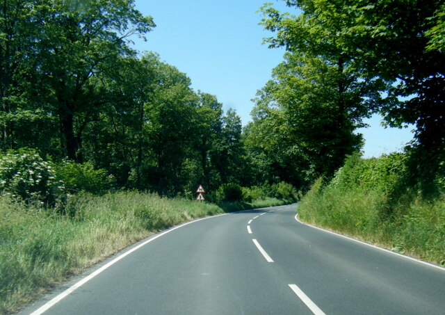
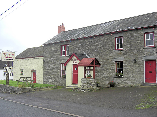
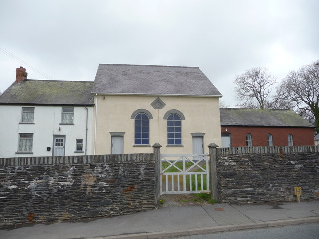
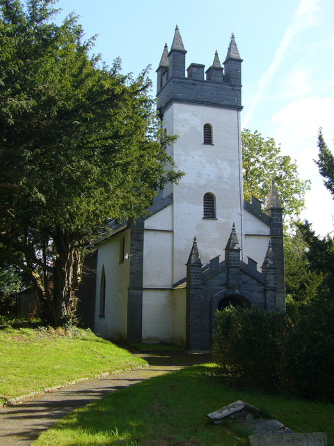
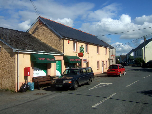
Cilwendeg Images

Images are sourced within 2km of 52.011807/-4.5950732 or Grid Reference SN2238. Thanks to Geograph Open Source API. All images are credited.

Old pig styes on the Ffynone estate Interesting range of three old pig styes (unoccupied) beside a PROW in the vicinity of Cwm Blaen Bwlan. The walls of the pens are constructed of solid slate slabs.
Old pig styes on the Ffynone estate
Interesting range of three old pig styes (unoccupied) beside a PROW in the vicinity of Cwm Blaen Bwlan. The walls of the pens are constructed of solid slate slabs.
Boncath railway station (site), Pembrokeshire Opened in 1886 by the Whitland and Taf Vale Railway, later part of the Great Western Railway, on the line from Whitland to Cardigan, this station closed to passengers in 1962 and completely in 1963.
View south west towards Crymmych Arms and Whitland from the platform. The station building was still extant when this image was taken, but the track-bed heavily overgrown.
For more information, see <span class="nowrap"><a title="http://www.disused-stations.org.uk/b/boncath/index.shtml" rel="nofollow ugc noopener" href="http://www.disused-stations.org.uk/b/boncath/index.shtml">Link</a><img style="margin-left:2px;" alt="External link" title="External link - shift click to open in new window" src="https://s1.geograph.org.uk/img/external.png" width="10" height="10"/></span>.
Boncath railway station (site), Pembrokeshire
Opened in 1886 by the Whitland and Taf Vale Railway, later part of the Great Western Railway, on the line from Whitland to Cardigan, this station closed to passengers in 1962 and completely in 1963. View south west towards Crymmych Arms and Whitland from the platform. The station building was still extant when this image was taken, but the track-bed heavily overgrown. For more information, see LinkExternal link.
Damaged Boundary Stone There should be an Ordnance Survey benchmark on the stone. Probably buried. It marks a point 141.600m above mean sea level.
Damaged Boundary Stone
There should be an Ordnance Survey benchmark on the stone. Probably buried. It marks a point 141.600m above mean sea level.
Ordnance Survey Cut Mark This OS cut mark can be found on the SW parapet of the railway bridge. It marks a point 136.261m above mean sea level.
Ordnance Survey Cut Mark
This OS cut mark can be found on the SW parapet of the railway bridge. It marks a point 136.261m above mean sea level.
Ordnance Survey Cut Mark This OS cut mark can be found on the NW angle of St Michael's Church. It marks a point 123.478m above mean sea level. <a title="https://www.geograph.org.uk/photo/7494740" href="https://www.geograph.org.uk/photo/7494740">Link</a>
Ordnance Survey Cut Mark
This OS cut mark can be found on the NW angle of St Michael's Church. It marks a point 123.478m above mean sea level. Link
St Michael's Church There is an Ordnance Survey cut mark on NW angle. <a title="https://www.geograph.org.uk/photo/7494739" href="https://www.geograph.org.uk/photo/7494739">Link</a>
St Michael's Church
There is an Ordnance Survey cut mark on NW angle. Link
St Michael's Church - A Home For House Martins & Pigeons
Ordnance Survey Cut Mark This OS cut mark can be found on the gatepost NE side of the road junction. It marks a point 135.968m above mean sea level.
Ordnance Survey Cut Mark
This OS cut mark can be found on the gatepost NE side of the road junction. It marks a point 135.968m above mean sea level.
B4332 west of Newchapel
B4332 in Boncath village
The Ffynnone Arms Built in the 18th C the inn has traditional slate floors.
The Ffynnone Arms
Built in the 18th C the inn has traditional slate floors.
The Boncath Inn
The Boncath Inn
Dwelling beside the B4332 On the front of this stone house is the motif Lawell y Grub 1895.
Dwelling beside the B4332
On the front of this stone house is the motif Lawell y Grub 1895.
Boncath Community Hall Bunting and "Olympic Emblem"  on entrance fence to the village hall.
Boncath Community Hall
Bunting and "Olympic Emblem" on entrance fence to the village hall.
Boncath Community Hall Community Hall entrance viewed from left side, the houses beyond do not appear on the map? They have been there for many years.
Boncath Community Hall
Community Hall entrance viewed from left side, the houses beyond do not appear on the map? They have been there for many years.
Boncath Community Hall Children's play area on grass at the village hall.
Boncath Community Hall
Children's play area on grass at the village hall.
Boncath Community Hall plaque Boncath is a thriving village, with a shop. post office, pub and businesses, also some large farms nearby.
Boncath Community Hall plaque
Boncath is a thriving village, with a shop. post office, pub and businesses, also some large farms nearby.
Chapel at Capel Newydd / Newchapel The manse, the chapel and the school-room I presume. What a gem.
Chapel at Capel Newydd / Newchapel
The manse, the chapel and the school-room I presume. What a gem.
Show me another place!

Cilwendeg is located at Grid Ref: SN2238 (Lat: 52.011807, Lng: -4.5950732)

Unitary Authority: Pembrokeshire

Police Authority: Dyfed Powys

What 3 Words

///concerts.spill.remaking. Near Crymych, Pembrokeshire

Nearby Locations

Cilwendeg

Related Wikis

Capel Colman

Capel Colman is a parish in northeast Pembrokeshire, Wales, in the community of Boncath. Formerly in the Hundred of Cilgerran, Capel Colman is a small...

Penrydd

Penrydd (variously spelled Penrhydd, Penrhudd, Penrith, Penreth or Penrieth) is a former parish in the Hundred of Kilgerran, north Pembrokeshire, Wales...

Boncath

Boncath is a village, community and postal district in north Pembrokeshire, Wales, about 5 miles (8.0 km) west of Newcastle Emlyn. The village stands at...

Boncath railway station

Boncath railway station served the village of Boncath, Pembrokeshire, Wales, from 1886 to 1963 on the Whitland and Cardigan Railway. == History == The...

Nearby Amenities

Located within 500m of 52.011807,-4.5950732
Maen Colman
Archaeological Site: cross
Description: Stone 2' broad, 2' wide, 4' 6" high with incised circle and cross carved on the surface.
Heritage: 2
Heritage Operator: cadw
Historic: archaeological_site
Historic Civilization: medieval
Material: stone
Ref Cadw: PE203
Lat/Long: 52.0137933/-4.6006884
Direction: SSE
Generator Method: photovoltaic
Generator Output Electricity: yes
Generator Solar Modules: 20
Generator Source: solar
Generator Type: solar_photovoltaic_panel
Location: roof
Power: generator
Lat/Long: 52.0111358/-4.5920813
Direction: 175
Generator Method: photovoltaic
Generator Output Electricity: yes
Generator Solar Modules: 40
Generator Source: solar
Generator Type: solar_photovoltaic_panel
Location: roof
Power: generator
Lat/Long: 52.0123352/-4.5997578
Top of the woods
Addr Postcode: SA37 0EP
Addr Street: Capel Colman Road
Tourism: camp_site
Website: https://www.topofthewoods.co.uk/
Lat/Long: 52.0108148/-4.5923623
The data included in this document is from www.openstreetmap.org. The data is made available under ODbL.

Have you been to Cilwendeg?

Leave your review of Cilwendeg below (or comments, questions and feedback).