Ciltalgarth
Settlement in Merionethshire
Wales
Ciltalgarth

The requested URL returned error: 429 Too Many Requests
If you have any feedback on the listing, please let us know in the comments section below.
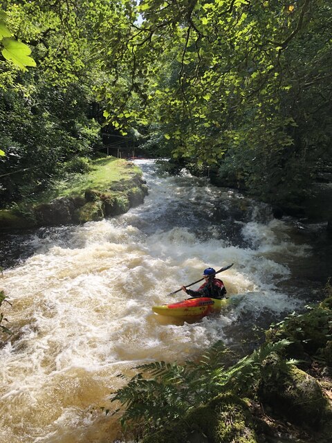
Ciltalgarth Images
Images are sourced within 2km of 52.948587/-3.657106 or Grid Reference SH8840. Thanks to Geograph Open Source API. All images are credited.


Ciltalgarth is located at Grid Ref: SH8840 (Lat: 52.948587, Lng: -3.657106)
Unitary Authority: Gwynedd
Police Authority: North Wales
What 3 Words
///brownish.headset.trickles. Near Bala, Gwynedd
Nearby Locations
Related Wikis
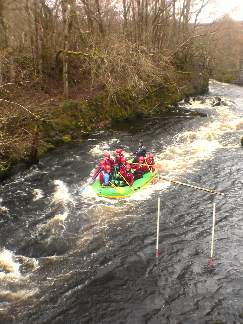
Canolfan Tryweryn
Canolfan Tryweryn is the National White Water Centre for Wales, and is based near Bala in north Wales. In 1986, it developed the first commercial white...

Tyddyn Bridge Halt railway station
Tyddyn Bridge Halt was a railway station which served the village of Frongoch, Gwynedd, Wales. It was on the Great Western Railway's (GWR's) Bala Ffestiniog...

North Wales
North Wales (Welsh: Gogledd Cymru) is a region of Wales, encompassing its northernmost areas. It borders mid Wales to the south, England to the east, and...

Frongoch railway station
Frongoch railway station served the village of Frongoch on the Great Western Railway's Bala Ffestiniog Line in Gwynedd, Wales.The station closed to passengers...
Nearby Amenities
Located within 500m of 52.948587,-3.657106Have you been to Ciltalgarth?
Leave your review of Ciltalgarth below (or comments, questions and feedback).