Cabsland Copse
Wood, Forest in Somerset Somerset West and Taunton
England
Cabsland Copse

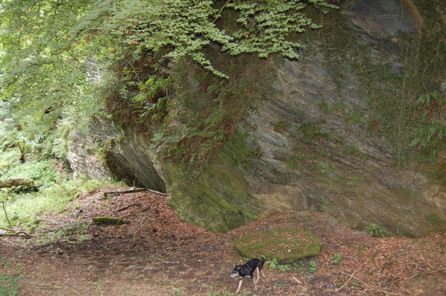
Cabsland Copse is a charming woodland located in Somerset, England. Spread across an approximate area of several acres, this copse is known for its lush greenery and tranquil atmosphere. It is situated near the village of Cabsland, hence the name.
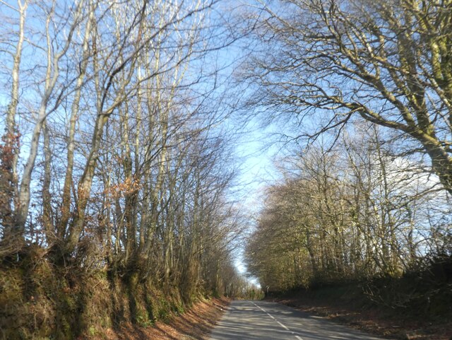
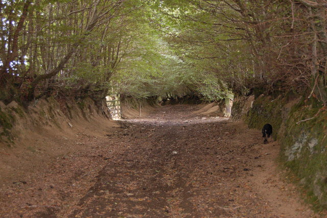
The copse is predominantly composed of dense, deciduous trees such as oak, beech, and ash, which create a picturesque canopy overhead. The forest floor is carpeted with a variety of wildflowers, ferns, and mosses, adding to the enchanting ambiance. The copse is home to a diverse range of wildlife, including birds, squirrels, and various insect species.
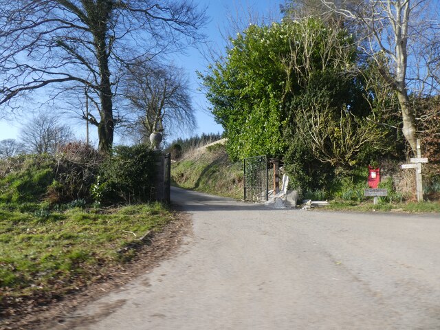
A network of well-maintained footpaths winds through Cabsland Copse, allowing visitors to explore its natural beauty. These paths are perfect for leisurely walks, jogging, or even cycling. Along the way, there are several benches and picnic spots where visitors can take a break and enjoy the surroundings.
The copse is also popular among nature enthusiasts and photographers who appreciate capturing its picturesque landscapes, especially during the autumn season when the foliage turns vibrant shades of red, orange, and yellow.
Cabsland Copse offers a peaceful retreat from the busy urban life, providing an opportunity to reconnect with nature. It is a haven for those seeking solace, as well as a great place for families to spend quality time outdoors. With its natural beauty and diverse ecosystem, Cabsland Copse remains a beloved destination for locals and tourists alike.
If you have any feedback on the listing, please let us know in the comments section below.
Cabsland Copse Images
Images are sourced within 2km of 51.135986/-3.6063811 or Grid Reference SS8738. Thanks to Geograph Open Source API. All images are credited.


Cabsland Copse is located at Grid Ref: SS8738 (Lat: 51.135986, Lng: -3.6063811)
Administrative County: Somerset
District: Somerset West and Taunton
Police Authority: Avon and Somerset
What 3 Words
///polka.rectangular.flushes. Near Porlock, Somerset
Nearby Locations
Related Wikis

Road Castle
Road Castle is an Iron Age bank and ditch in the West Somerset district of Somerset, England. The hill fort is situated approximately 2 miles (3.2 km)...

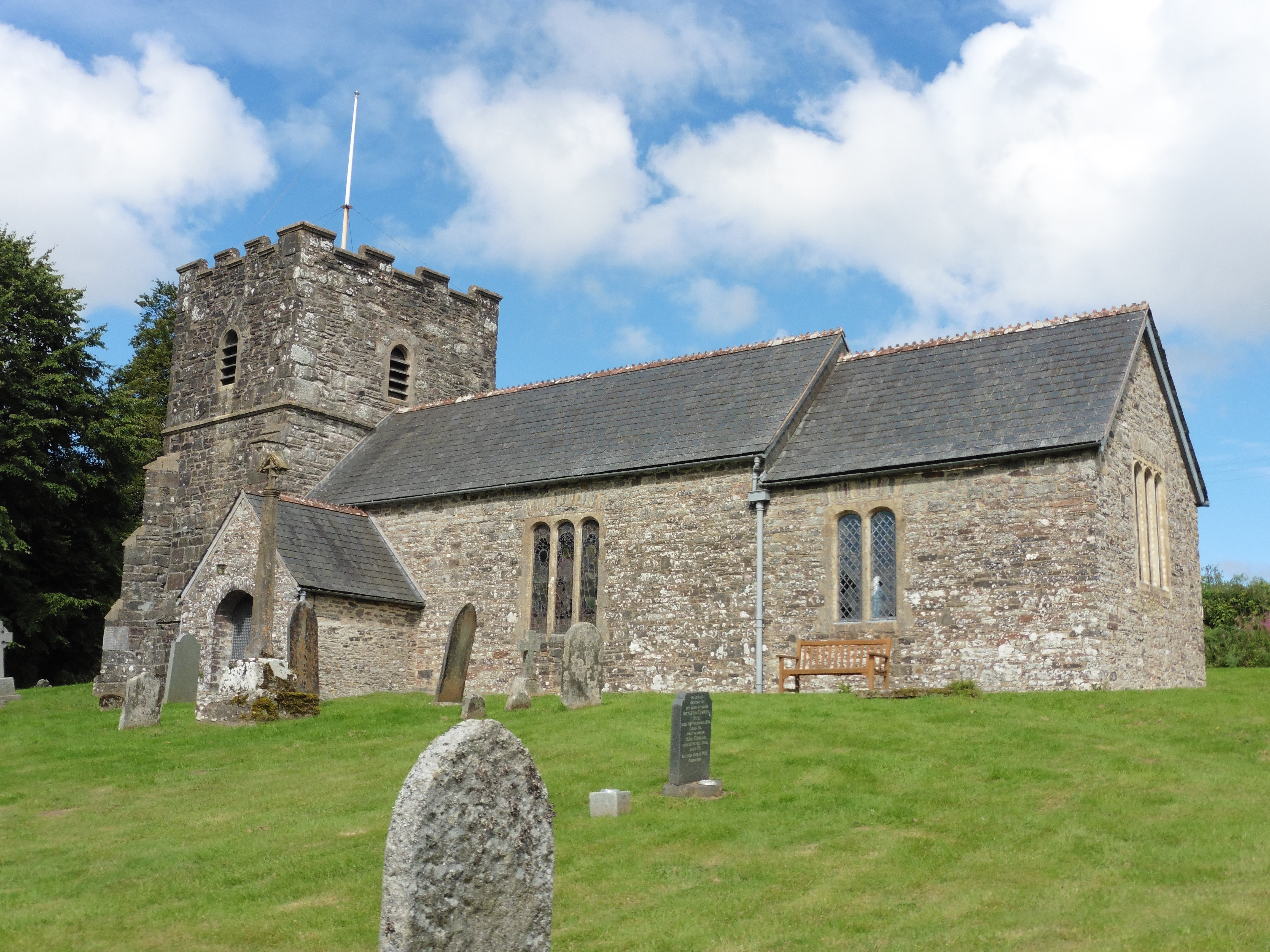
Church of St Mary Magdelene, Exford
The Anglican Church of St Mary Magdelene in Exford, Somerset, England was built in the 15th century. It is a Grade II* listed building. == History == Nothing...

Exford, Somerset
Exford is a rural village at the centre of Exmoor National Park, 7 miles (11 km) north-west of Dulverton, and 10 miles (16 km) south-west of Minehead,...
Dunkery Hill
Dunkery Beacon at the summit of Dunkery Hill is the highest point on Exmoor and in Somerset, England. It is also the highest point in southern England...

Exmoor
Exmoor is loosely defined as an area of hilly open moorland in west Somerset and north Devon in South West England. It is named after the River Exe, the...

Sweetworthy
Sweetworthy is the site of two Iron Age hill forts or enclosures at Luccombe, 4 kilometres (2 mi) south of Porlock, Somerset, England. They are on the...
Church of St Andrew, Withypool
The Anglican Church of St Andrew in Withypool, Somerset, England was built in late medieval period. It is a Grade II* listed building. == History == The...
Garratts Wood
Garratts Wood is a woodland in Somerset, England, near the village of Winsford. It covers a total area of 1.11 hectares (2.74 acres). It is owned and managed...
Nearby Amenities
Located within 500m of 51.135986,-3.6063811Have you been to Cabsland Copse?
Leave your review of Cabsland Copse below (or comments, questions and feedback).