The Parks
Wood, Forest in Somerset Somerset West and Taunton
England
The Parks

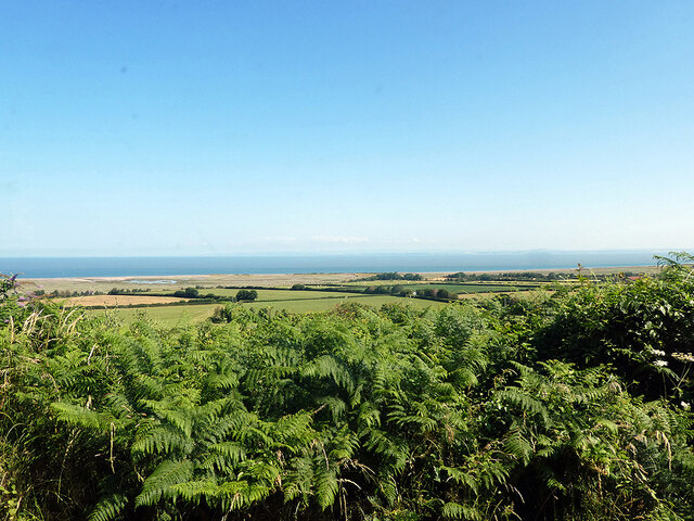
The Parks, Somerset is a picturesque woodland area located in the heart of Somerset County, England. Covering an approximate area of 100 acres, it is renowned for its serene natural beauty and abundant flora and fauna. The woodland is primarily composed of a diverse range of broadleaf trees, including oak, beech, and ash, creating a lush and vibrant environment.
The Parks is a beloved destination for nature enthusiasts, hikers, and families seeking a tranquil retreat from the hustle and bustle of daily life. It offers a network of well-maintained walking trails, allowing visitors to explore the woodland at their own pace. The trails wind through the woods, offering breathtaking views of the surrounding countryside and providing ample opportunities for birdwatching and wildlife spotting.
The woodland is also home to a variety of wildlife species, including deer, foxes, badgers, and an array of birds. It serves as an important habitat for these creatures, providing a safe and nurturing environment. The Parks is committed to preserving and protecting the natural ecosystem, ensuring that future generations can continue to enjoy its beauty.
Additionally, The Parks offers various amenities to enhance visitors' experiences. There are picnic areas and benches scattered throughout the woodland, allowing visitors to relax and enjoy a meal amidst nature. The area is also equipped with well-maintained restroom facilities and ample parking for convenience.
Overall, The Parks, Somerset (Wood, Forest) is a captivating woodland oasis, offering a tranquil escape and a chance to reconnect with nature in the heart of Somerset.
If you have any feedback on the listing, please let us know in the comments section below.
The Parks Images
Images are sourced within 2km of 51.207188/-3.6111341 or Grid Reference SS8746. Thanks to Geograph Open Source API. All images are credited.
The Parks is located at Grid Ref: SS8746 (Lat: 51.207188, Lng: -3.6111341)
Administrative County: Somerset
District: Somerset West and Taunton
Police Authority: Avon and Somerset
What 3 Words
///pulsing.feels.scooters. Near Porlock, Somerset
Nearby Locations
Related Wikis

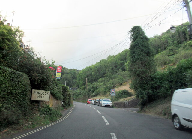
Porlock Hill
Porlock Hill is a road west of Porlock, Somerset. It is part of the A39, connecting Porlock to Lynmouth and Barnstaple in Devon and is the steepest A-road...
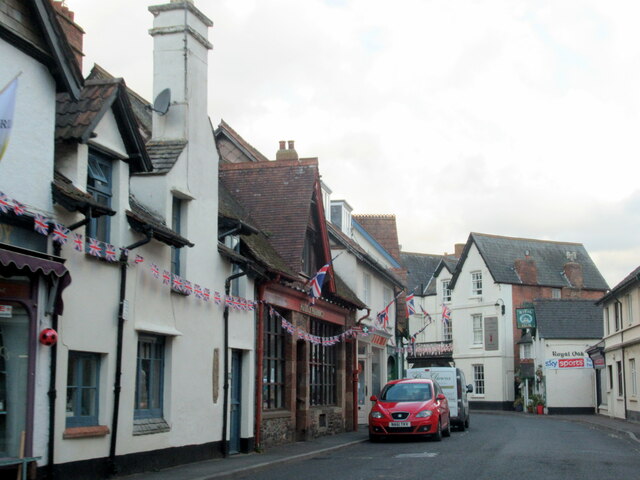
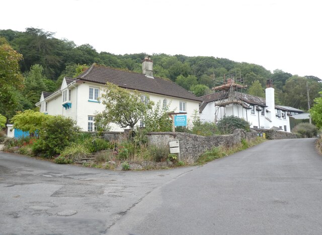
Porlock
Porlock is a coastal village in Somerset, England, 5 miles (8 km) west of Minehead. At the 2011 census, the village had a population of 1,440.In 2017,...

Dovery Manor Museum
Dovery Manor Museum, also known as Porlock Museum, is a local museum in Porlock, Somerset, England. The building was built as a Manor house in the late...

Hawkcombe Woods
Hawkcombe Woods is a national nature reserve near Porlock on Exmoor, Somerset, England.The 101 hectares (250 acres) woodlands are notable for their lichens...
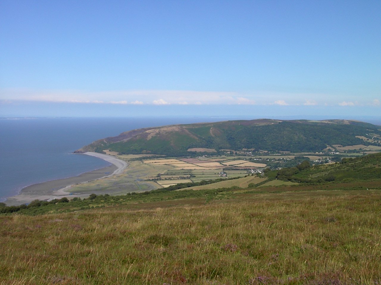
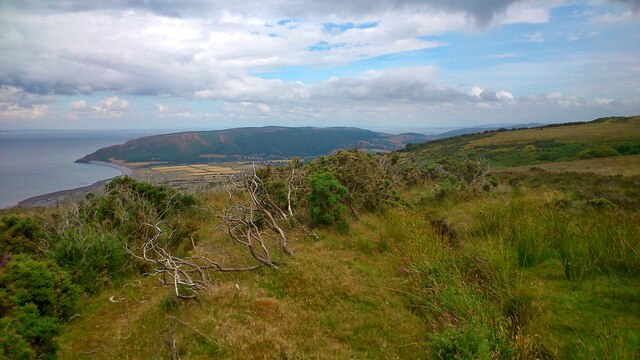
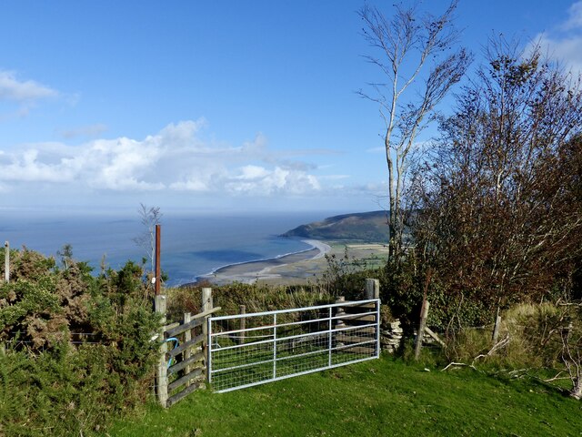
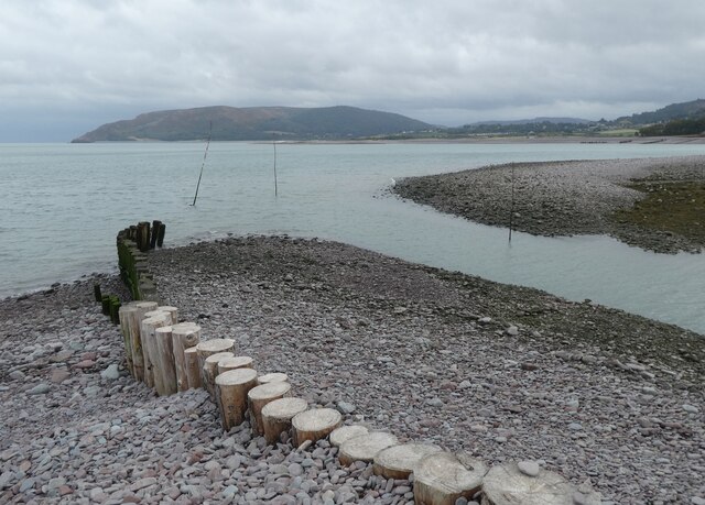
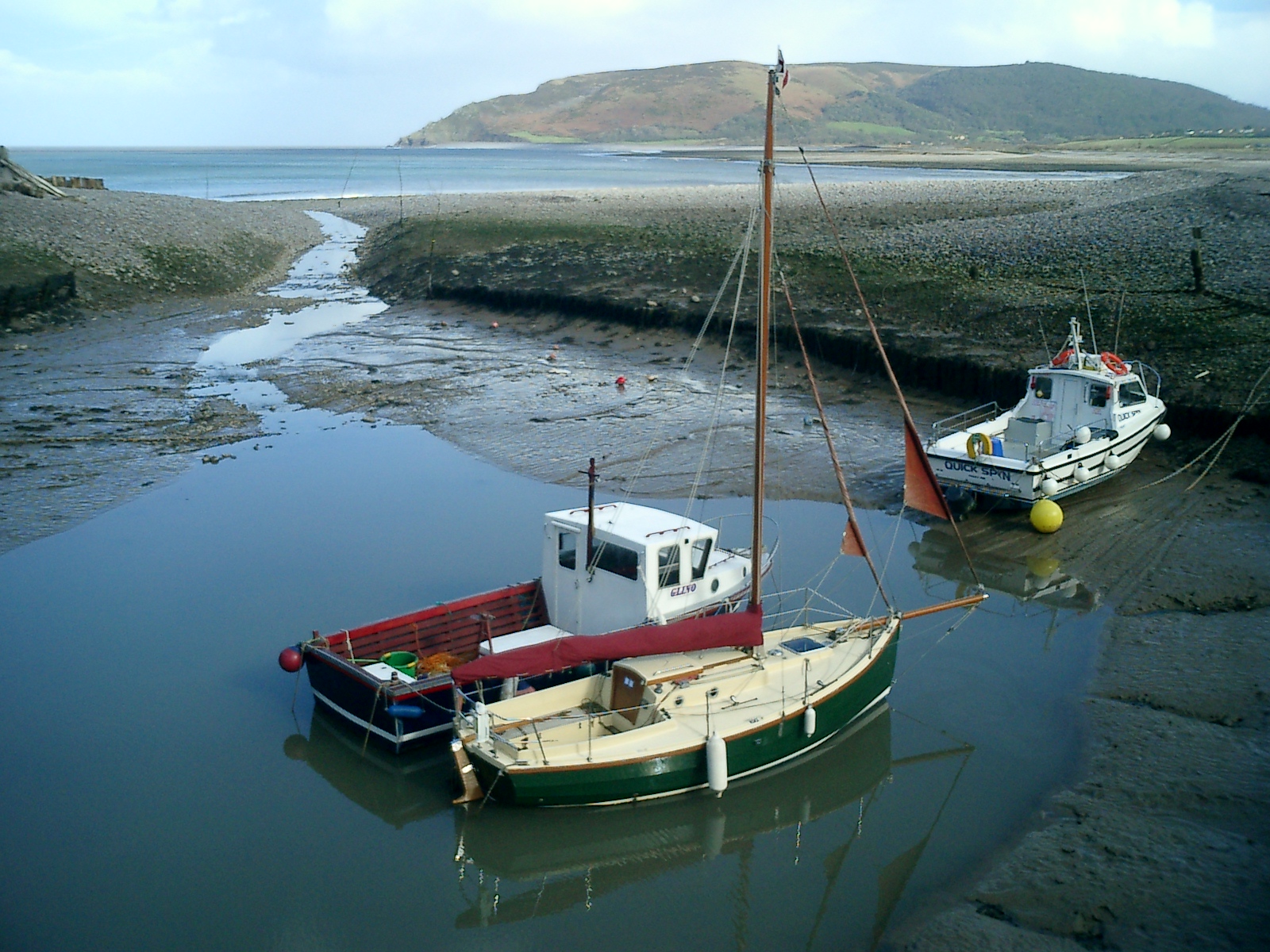
Porlock Bay
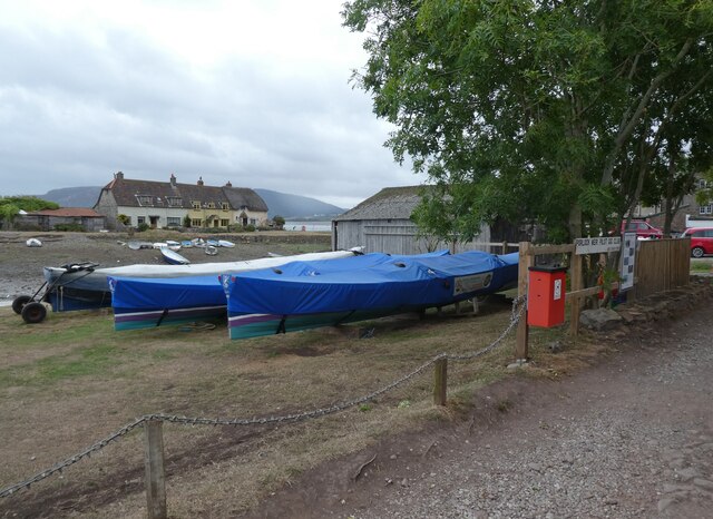
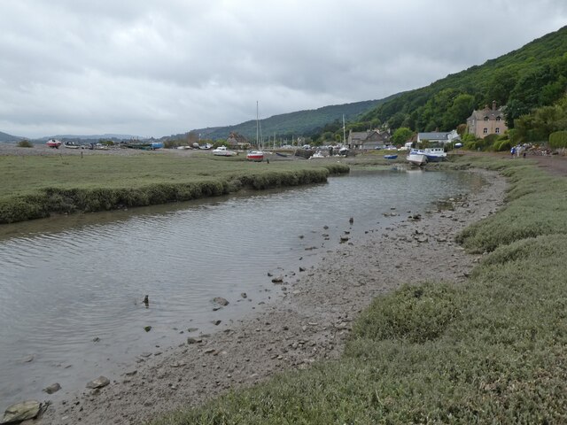
Porlock Bay is on the Bristol Channel, between Hurlstone Point and Porlock Weir in Somerset, England. The coastline includes shingle ridges, salt marshes...
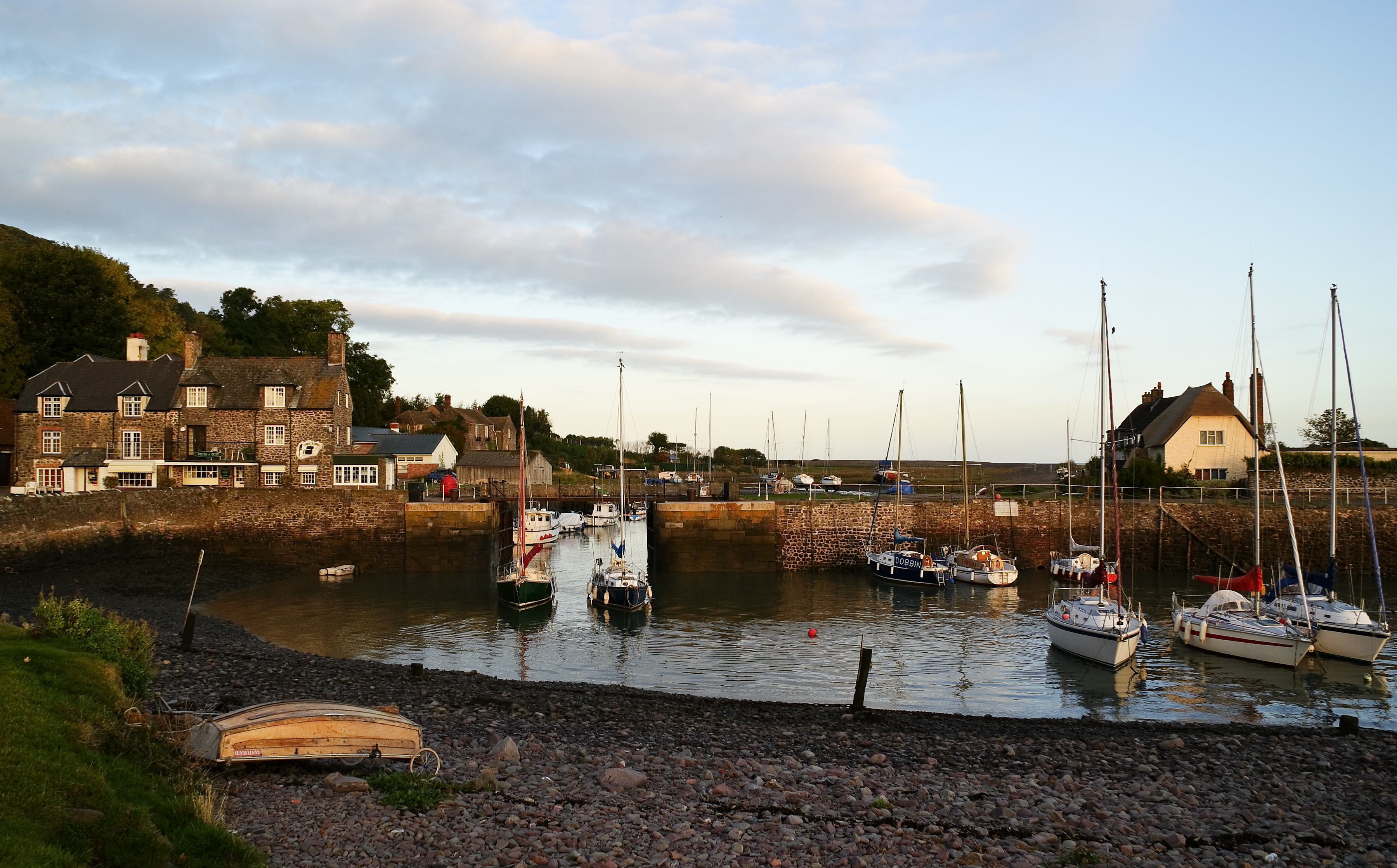
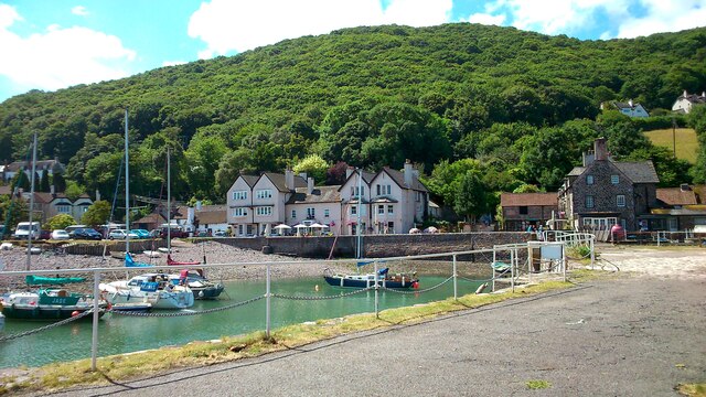
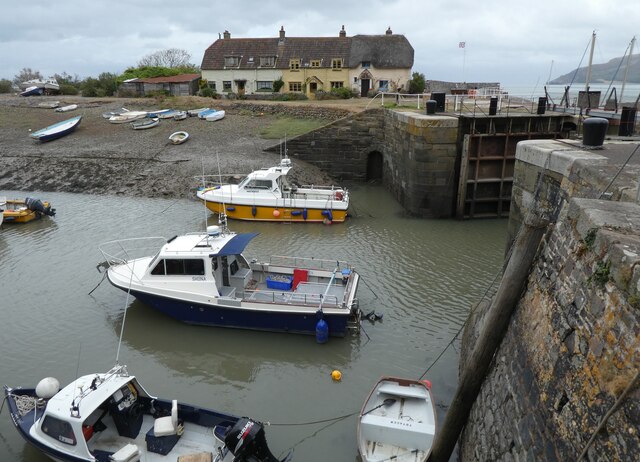
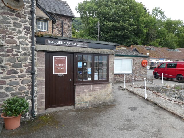
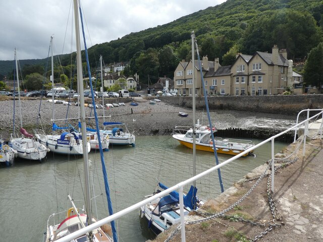
Porlock Weir
Porlock Weir is a harbour settlement approximately 1.5 miles (2.4 km) west of the inland village of Porlock, Somerset, England. "Porlock" comes from the...

Coleridge Way
The Coleridge Way is a 51-mile (82 km) long-distance trail in Somerset and Devon, England. It was opened in April 2005, and the route links several sites...

Berry Castle, Somerset
Berry Castle (sometimes known as Berry Camp) is an early Roman (possible Iron Age) hillslope enclosure in the West Somerset district of Somerset, England...
Nearby Amenities
Located within 500m of 51.207188,-3.6111341Have you been to The Parks?
Leave your review of The Parks below (or comments, questions and feedback).