Bagley Wood

Wood, Forest in Somerset Somerset West and Taunton

England

Bagley Wood

Ordnance Survey Cut Mark This OS cut mark can be found on the stone SE side of the road. It marks a point 343.645m above mean sea level.
Ordnance Survey Cut Mark Credit: Adrian Dust

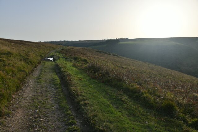
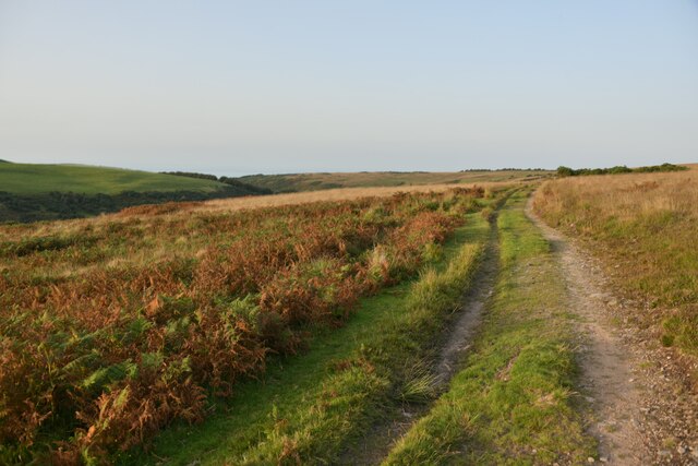
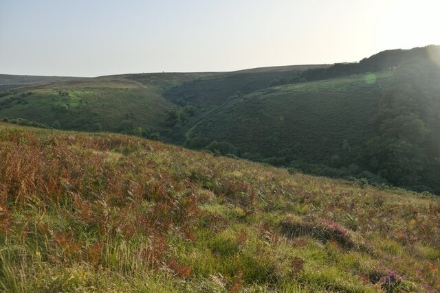
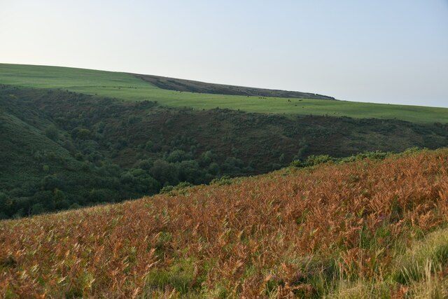
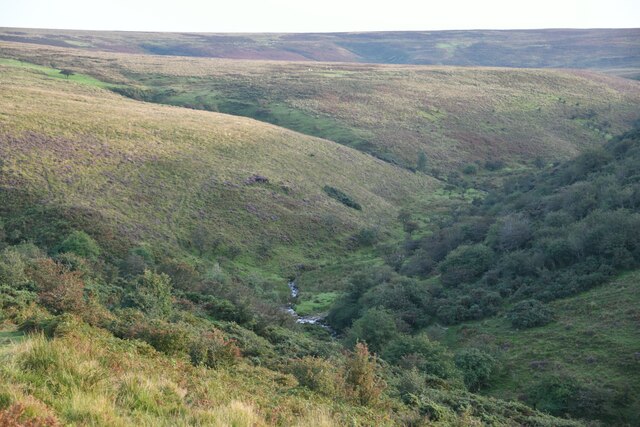
Bagley Wood is a picturesque woodland located in Somerset, England. Covering an area of approximately 57 hectares, it is known for its diverse range of flora and fauna, making it a popular destination for nature lovers and wildlife enthusiasts.

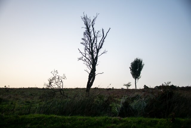
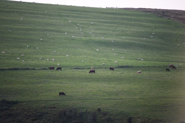
The wood is primarily composed of native deciduous trees, including oak, beech, and ash, which create a dense canopy and provide habitat for a variety of birds and mammals. In spring, the forest floor is adorned with a vibrant display of bluebells, adding to its natural beauty.

Bagley Wood has a rich history, dating back to medieval times when it was used as a hunting ground for the local nobility. It later became a source of timber for shipbuilding during the Tudor period. Today, it is managed by a local conservation group, ensuring its preservation and maintenance.

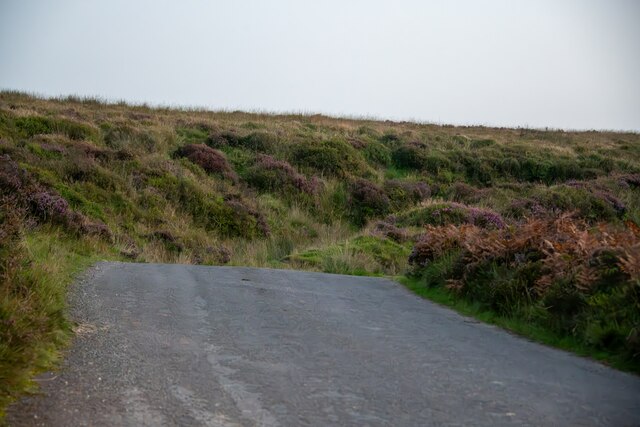
The wood is crisscrossed by a network of well-maintained footpaths, allowing visitors to explore its enchanting surroundings. A walk through Bagley Wood offers a peaceful and tranquil experience, away from the hustle and bustle of urban life.

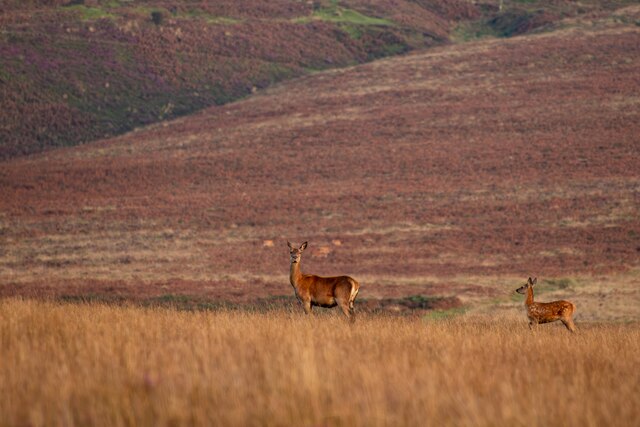
In addition to its natural beauty, Bagley Wood is also home to a diverse range of wildlife. Birdwatchers can spot species such as woodpeckers, buzzards, and tawny owls, while the woodland floor is inhabited by small mammals like badgers, foxes, and deer.

Overall, Bagley Wood in Somerset is a haven for nature enthusiasts, offering a serene environment and a chance to experience the beauty of a traditional English woodland.

If you have any feedback on the listing, please let us know in the comments section below.
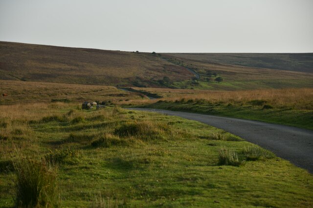
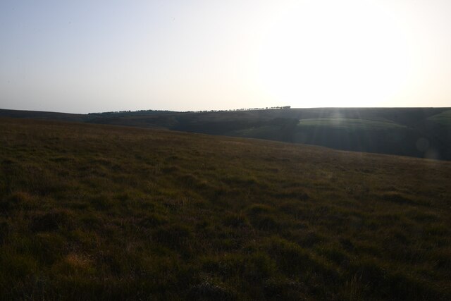
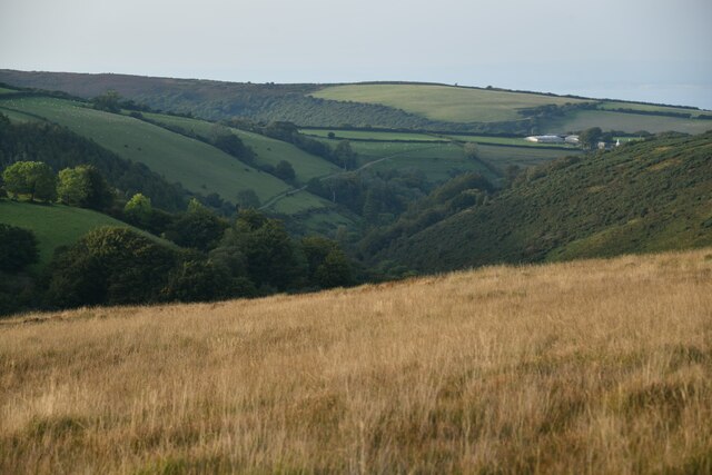
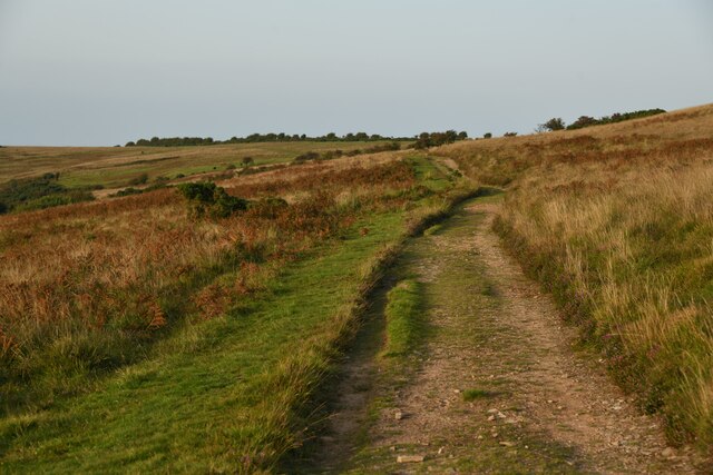
Bagley Wood Images

Images are sourced within 2km of 51.176006/-3.6127648 or Grid Reference SS8743. Thanks to Geograph Open Source API. All images are credited.

Ordnance Survey Cut Mark This OS cut mark can be found on the stone SE side of the road. It marks a point 343.645m above mean sea level.
Ordnance Survey Cut Mark
This OS cut mark can be found on the stone SE side of the road. It marks a point 343.645m above mean sea level.
Ordnance Survey Cut Mark This OS cut mark can be found on the south angle of Stoke Pero Church. It marks a point 305.760m above mean sea level.
Ordnance Survey Cut Mark
This OS cut mark can be found on the south angle of Stoke Pero Church. It marks a point 305.760m above mean sea level.
Luccombe : Road A road across Exmoor.
Luccombe : Road
A road across Exmoor.
Luccombe : Exmoor Scenery From the road looking towards some trees.
Luccombe : Exmoor Scenery
From the road looking towards some trees.
Luccombe : Exmoor Scenery Looking to fields on the hillsides of Exmoor.
Luccombe : Exmoor Scenery
Looking to fields on the hillsides of Exmoor.
Luccombe : Exmoor Scenery Looking across Exmoor with two deer in view. I think they have spotted me.
Luccombe : Exmoor Scenery
Looking across Exmoor with two deer in view. I think they have spotted me.
Luccombe : Exmoor Ponies Exmoor ponies seen on the moors.
Luccombe : Exmoor Ponies
Exmoor ponies seen on the moors.
Luccombe : Stoke Pero Church Grounds In the churchgrounds of Stoke Pero Church is Dolly the sheep acting as a lawnmower among the headstones.
Luccombe : Stoke Pero Church Grounds
In the churchgrounds of Stoke Pero Church is Dolly the sheep acting as a lawnmower among the headstones.
Luccombe : Exmoor Scenery A road heads across a scenic spot over Exmoor.
Luccombe : Exmoor Scenery
A road heads across a scenic spot over Exmoor.
Luccombe : Exmoor Scenery Looking across the moors as the sun was setting.
Luccombe : Exmoor Scenery
Looking across the moors as the sun was setting.
Luccombe : Exmoor Scenery The view above Nutscale Reservoir, which is down in the valley.
Luccombe : Exmoor Scenery
The view above Nutscale Reservoir, which is down in the valley.
Luccombe : Exmoor Scenery A track heads across Exmoor
Luccombe : Exmoor Scenery
A track heads across Exmoor
Luccombe : Exmoor Scenery Looking along a track heading above Nutscale Reservoir which eventually heads down into the valley.
Luccombe : Exmoor Scenery
Looking along a track heading above Nutscale Reservoir which eventually heads down into the valley.
Luccombe : Exmoor Scenery A track heads across Exmoor above Nutscale Reservoir.
Luccombe : Exmoor Scenery
A track heads across Exmoor above Nutscale Reservoir.
Luccombe : Exmoor Scenery Looking across the moorland above the Nutscale Reservoir and stream.
Luccombe : Exmoor Scenery
Looking across the moorland above the Nutscale Reservoir and stream.
Luccombe : Exmoor Scenery Looking across the moors above Nutscale Reservoir.
Luccombe : Exmoor Scenery
Looking across the moors above Nutscale Reservoir.
Luccombe : Exmoor Scenery Looking down into the valley of Nutscale Water.
Luccombe : Exmoor Scenery
Looking down into the valley of Nutscale Water.
Luccombe : Exmoor Ponies Exmoor ponies on the moors.
Luccombe : Exmoor Ponies
Exmoor ponies on the moors.
Show me another place!

Bagley Wood is located at Grid Ref: SS8743 (Lat: 51.176006, Lng: -3.6127648)

Administrative County: Somerset

District: Somerset West and Taunton

Police Authority: Avon and Somerset

What 3 Words

///ladders.direction.appraised. Near Porlock, Somerset

Related Wikis

Stoke Pero Church

Stoke Pero Church in Stoke Pero, Somerset, England was built in the 13th century. It is a Grade II* listed building. Standing 1,013 feet (309 meters) above...

Nutscale Reservoir

Nutscale Reservoir is a reservoir located in Exmoor in north west Somerset, England. It supplies the town of Minehead and nearby Porlock and Porlock Weir...

Sweetworthy

Sweetworthy is the site of two Iron Age hill forts or enclosures at Luccombe, 4 kilometres (2 mi) south of Porlock, Somerset, England. They are on the...

Berry Castle, Somerset

Berry Castle (sometimes known as Berry Camp) is an early Roman (possible Iron Age) hillslope enclosure in the West Somerset district of Somerset, England...

Dunkery Hill

Dunkery Beacon at the summit of Dunkery Hill is the highest point on Exmoor and in Somerset, England. It is also the highest point in southern England...

Hawkcombe Woods

Hawkcombe Woods is a national nature reserve near Porlock on Exmoor, Somerset, England.The 101 hectares (250 acres) woodlands are notable for their lichens...

Porlock Stone Circle

Porlock Stone Circle is a stone circle located on Exmoor, near the village of Porlock in the south-western English county of Somerset. The Porlock ring...

Almsworthy Common

Almsworthy Common is a small area of unenclosed land in Exmoor, south-western England. It contains a number of archaeological sites. It is about 2 miles...

Nearby Amenities

Located within 500m of 51.176006,-3.6127648
Ford: yes
Lat/Long: 51.178971/-3.6121668
Ford: yes
Lat/Long: 51.1800814/-3.6103804
Parsons Wood
Place: locality
Lat/Long: 51.1782916/-3.6115023
Old Wood
Place: locality
Lat/Long: 51.1764217/-3.6144157
Bagley Wood
Place: locality
Lat/Long: 51.1753432/-3.6136388
Stoke Ridge
Place: locality
Lat/Long: 51.1737428/-3.6100318
Stoke Ridge Plantation
Place: locality
Lat/Long: 51.174343/-3.6061889
Ford: yes
Lat/Long: 51.1780455/-3.6127815
Ford: yes
Lat/Long: 51.1773198/-3.6130321
Ford: yes
Lat/Long: 51.1763663/-3.6136105
Ford: yes
Lat/Long: 51.176242/-3.6136889
Ford: yes
Lat/Long: 51.1797134/-3.6110108
Ford: yes
Lat/Long: 51.1787977/-3.6123714
Ford: yes
Lat/Long: 51.1785046/-3.6127174
The data included in this document is from www.openstreetmap.org. The data is made available under ODbL.

Have you been to Bagley Wood?

Leave your review of Bagley Wood below (or comments, questions and feedback).