Cilrhedyn

Settlement in Pembrokeshire

Wales

Cilrhedyn

Ordnance Survey Cut Mark This OS cut mark can be found on a stone on the west side of the road. It marks a point 192.570m above mean sea level.
Ordnance Survey Cut Mark Credit: Adrian Dust

The requested URL returned error: 429 Too Many Requests

If you have any feedback on the listing, please let us know in the comments section below.
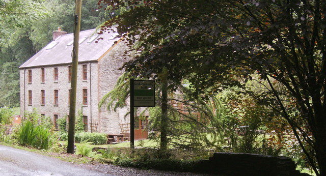
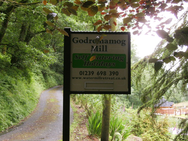
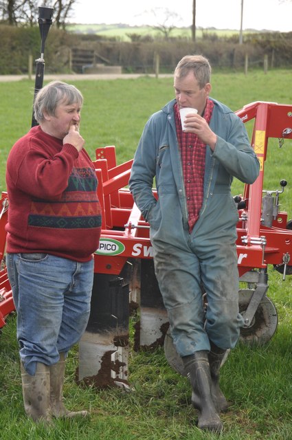
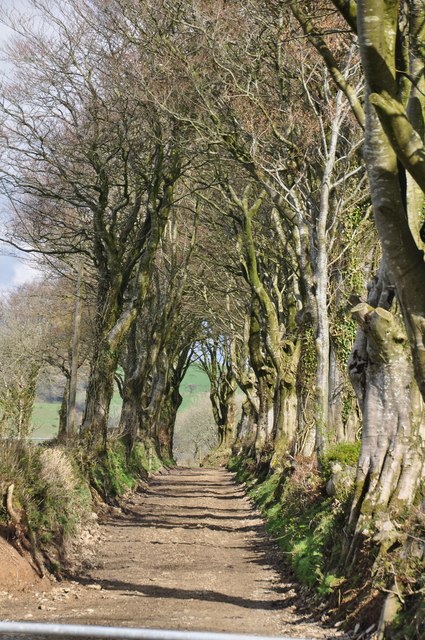
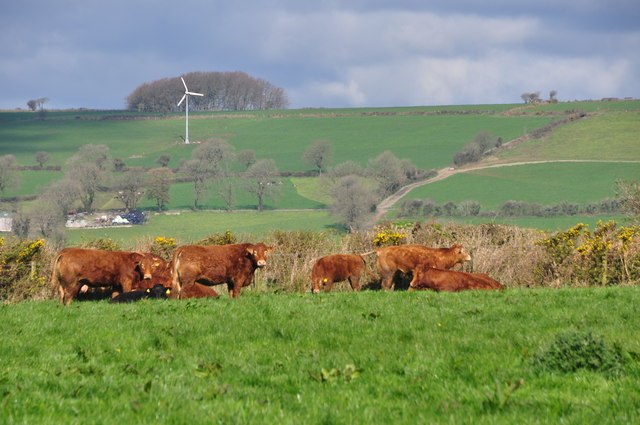
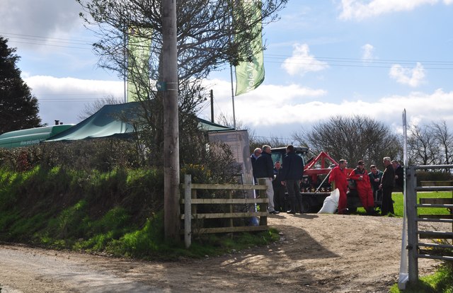
Cilrhedyn Images

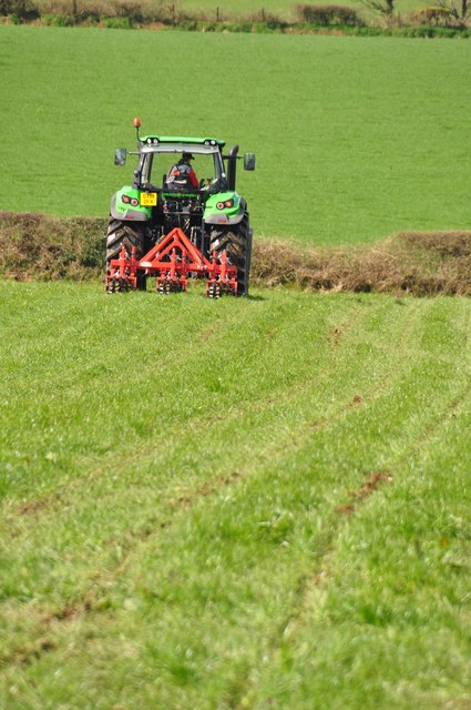
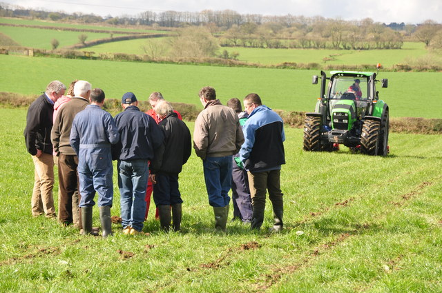
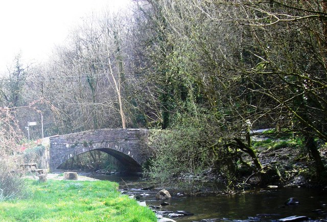
Images are sourced within 2km of 51.976764/-4.5019173 or Grid Reference SN2833. Thanks to Geograph Open Source API. All images are credited.

Ordnance Survey Cut Mark This OS cut mark can be found on a stone on the west side of the road. It marks a point 192.570m above mean sea level.
Ordnance Survey Cut Mark
This OS cut mark can be found on a stone on the west side of the road. It marks a point 192.570m above mean sea level.
Ordnance Survey Cut Mark This OS cut mark can be found on the east parapet of Wedwst Bridge. It marks a point 62.082m above mean sea level.
Ordnance Survey Cut Mark
This OS cut mark can be found on the east parapet of Wedwst Bridge. It marks a point 62.082m above mean sea level.
Ordnance Survey Cut Mark This OS cut mark can be found on the wall SW side of the road. It marks a point 81.697m above mean sea level.
Ordnance Survey Cut Mark
This OS cut mark can be found on the wall SW side of the road. It marks a point 81.697m above mean sea level.
Ordnance Survey Cut Mark This OS cut mark can be found on the SW parapet of the bridge. It marks a point 94.656m above mean sea level.
Ordnance Survey Cut Mark
This OS cut mark can be found on the SW parapet of the bridge. It marks a point 94.656m above mean sea level.
Godremamog Mill Self catering holidays in a genuine mill with a water wheel!
Godremamog Mill
Self catering holidays in a genuine mill with a water wheel!
Godremamog Mill Advertising sign for the Mill, on side of road.
Godremamog Mill
Advertising sign for the Mill, on side of road.
Mill race Well maintained mill race, and the waters are flowing well.
Mill race
Well maintained mill race, and the waters are flowing well.
Mill race A little further down stream from <a href="https://www.geograph.org.uk/photo/3015905">SN2935 : Mill race</a> the race is contained by a stone wall, the Afon Barddu is about ten feet below the race at this point, flowing towards Godremamog Mill.
Mill race
A little further down stream from SN2935 : Mill race the race is contained by a stone wall, the Afon Barddu is about ten feet below the race at this point, flowing towards Godremamog Mill.
Bridge over Afon To the right is the junction of Rhiwlas <a href="https://www.geograph.org.uk/photo/970332">SN2934 : Rhiw-las, Cwmorgan</a>  and Cwmorgan to the left.
Bridge over Afon
To the right is the junction of Rhiwlas SN2934 : Rhiw-las, Cwmorgan and Cwmorgan to the left.
Bridge over Afon Another old nice bridge, and a junction beyond, the road follows the Afon Barddu to the right, after the bridge.
Bridge over Afon
Another old nice bridge, and a junction beyond, the road follows the Afon Barddu to the right, after the bridge.
Pembrokeshire : Grassy Field A grassy field in the Pembrokeshire countryside.
Pembrokeshire : Grassy Field
A grassy field in the Pembrokeshire countryside.
Pembrokeshire : Talking Farmers Two farmers in the field having a chat.
Pembrokeshire : Talking Farmers
Two farmers in the field having a chat.
Pembrokeshire : Small Lane A small lane and footpath head out into the countryside.
Pembrokeshire : Small Lane
A small lane and footpath head out into the countryside.
Pembrokeshire : Grassy Field & Cattle Cattle grazing in a grassy field in the Pembrokeshire countryside.
Pembrokeshire : Grassy Field & Cattle
Cattle grazing in a grassy field in the Pembrokeshire countryside.
Pembrokeshire : Country Lane A country lane and entrance to the field where a small event is taking place.
Pembrokeshire : Country Lane
A country lane and entrance to the field where a small event is taking place.
Pembrokeshire : Grassy Field & Tractor A tractor ploughing the field in Pembrokeshire.
Pembrokeshire : Grassy Field & Tractor
A tractor ploughing the field in Pembrokeshire.
Pembrokeshire : Grassy Field A grassy field with members of the farming community gathered around to look at the ploughing process.
Pembrokeshire : Grassy Field
A grassy field with members of the farming community gathered around to look at the ploughing process.
Pembrokeshire : Grassy Field & Tractor Looking towards tractors working in a grassy field.
Pembrokeshire : Grassy Field & Tractor
Looking towards tractors working in a grassy field.
Show me another place!

Cilrhedyn is located at Grid Ref: SN2833 (Lat: 51.976764, Lng: -4.5019173)

Unitary Authority: Pembrokeshire

Police Authority: Dyfed Powys

What 3 Words

///thankful.quit.enchanted. Near Trelech, Carmarthenshire

Nearby Locations

Cilrhedyn

Related Wikis

Cilrhedyn

Cilrhedyn is a hamlet and parish in the counties of Carmarthenshire and Pembrokeshire, Wales, in the hill country to the south of the Teifi valley. The...

Cwmcych

Cwmcych, Cwm Cych or Glyn Cuch (Welsh for 'Valley of the river Cych') is a small village in the upper Cych valley straddling the border between Carmarthenshire...

Pont Cych

Pont Cych is a single-arch, Grade II-listed bridge over Afon Cych at Cwmcych in the Cych Valley, bordering Carmarthenshire and Pembrokeshire, Wales....

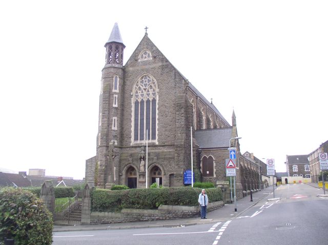
Roman Catholic Diocese of Menevia

The Diocese of Menevia (Latin: Dioecesis Menevensis) is a Latin Church diocese of the Catholic Church in Wales. It is one of two suffragan dioceses in...

Nearby Amenities

Located within 500m of 51.976764,-4.5019173
Give Way
Direction: backward
Lat/Long: 51.97677/-4.5019686
Give Way
Direction: backward
Lat/Long: 51.9762253/-4.5018281
The data included in this document is from www.openstreetmap.org. The data is made available under ODbL.

Have you been to Cilrhedyn?

Leave your review of Cilrhedyn below (or comments, questions and feedback).