Alphington Woods
Wood, Forest in Devon Teignbridge
England
Alphington Woods

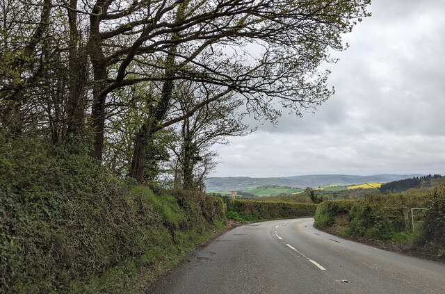
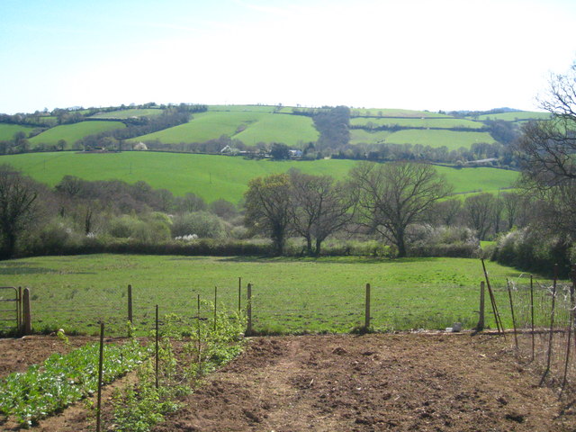
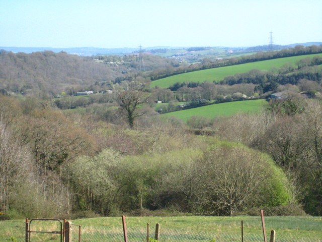
Alphington Woods is a picturesque woodland located in the county of Devon, England. Spanning an area of approximately 30 hectares, it provides a haven of tranquility and natural beauty for both locals and visitors alike. Situated on the outskirts of the city of Exeter, this woodland offers a welcome respite from the hustle and bustle of urban life.
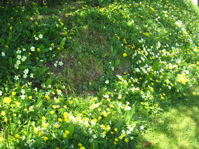
The woods are primarily composed of native broadleaf trees, including oak, ash, and birch, creating a diverse and vibrant ecosystem. The dense canopy provides shade during the summer months and a riot of colors in the autumn, making it an ideal destination for nature enthusiasts and photographers.
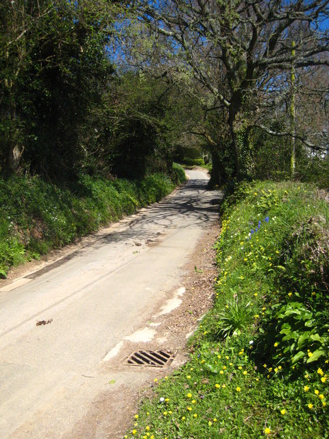
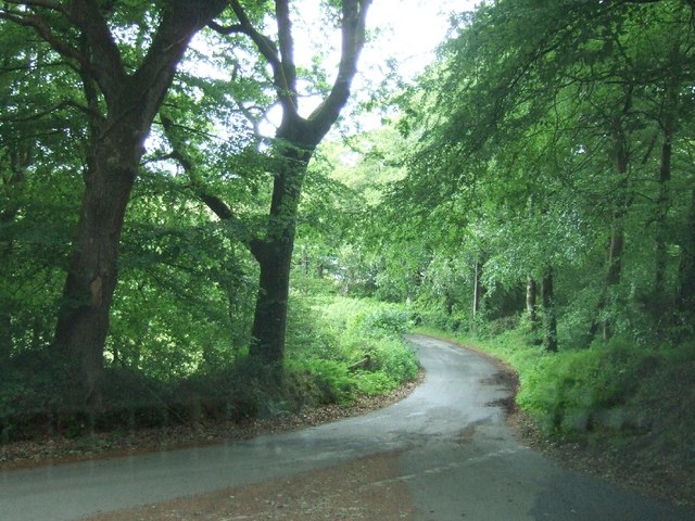
A network of well-maintained footpaths wind their way through Alphington Woods, allowing visitors to explore its many hidden gems. As they meander through the woodland, they may encounter a variety of wildlife, including squirrels, foxes, and an array of bird species. The peaceful atmosphere also makes it a popular spot for birdwatching and nature walks.
Alphington Woods is not only a place of natural beauty, but it also holds historical significance. The remnants of an ancient iron-age hill fort can be found within its boundaries, providing a glimpse into the area's rich past.
With its accessibility, natural charm, and historical significance, Alphington Woods offers a perfect blend of tranquility and adventure for those seeking to immerse themselves in the beauty of Devon's woodlands.
If you have any feedback on the listing, please let us know in the comments section below.
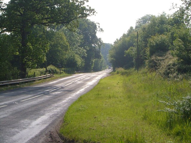
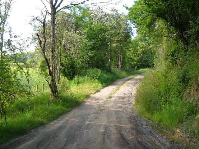
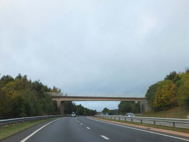
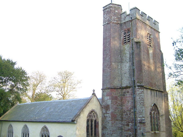
Alphington Woods Images
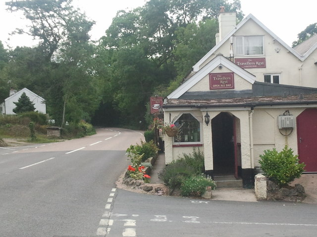
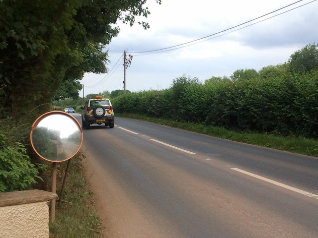
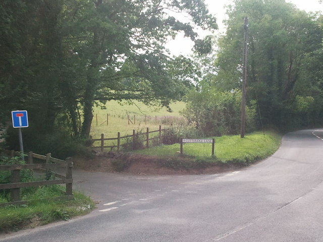
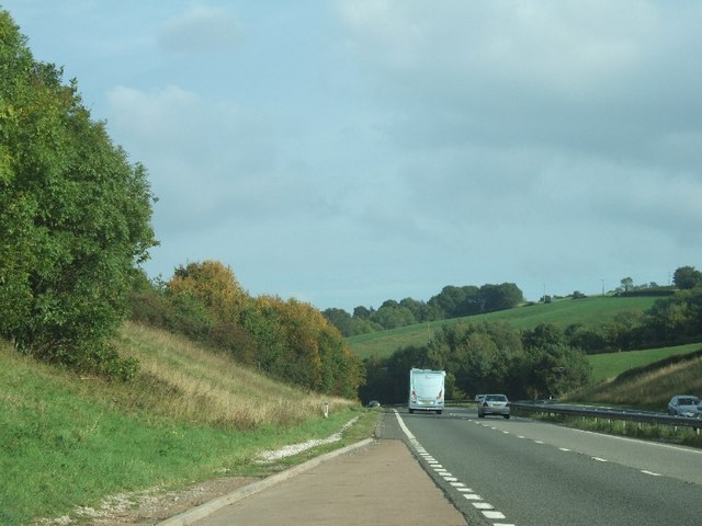
Images are sourced within 2km of 50.715145/-3.599313 or Grid Reference SX8791. Thanks to Geograph Open Source API. All images are credited.


Alphington Woods is located at Grid Ref: SX8791 (Lat: 50.715145, Lng: -3.599313)
Administrative County: Devon
District: Teignbridge
Police Authority: Devon and Cornwall
What 3 Words
///interviewer.author.suffice. Near Exeter, Devon
Nearby Locations
Related Wikis
Whitestone, Devon
Whitestone () is a small village in Devon, England, approximately 4 miles west of Exeter. It is in the parish of Whitestone; one of the 45 parish and town...

Longdown
Longdown is a small village in the parish of Holcombe Burnell, south of the A30 road, about four miles west of Exeter in Devon, England. It has a public...

Longdown railway station
Longdown was a railway station serving Longdown, a small village in Devon, England located on the Teign Valley Line between the towns of Newton Abbot and...

Holcombe Burnell
Holcombe Burnell is a civil parish in the Teignbridge district, in Devon, England, the church of which is about 4 miles west of Exeter City centre. There...
Nearby Amenities
Located within 500m of 50.715145,-3.599313Have you been to Alphington Woods?
Leave your review of Alphington Woods below (or comments, questions and feedback).