Armer Wood

Wood, Forest in Devon North Devon

England

Armer Wood

IIMW sculpture by Peter Randall Page See also Granite Song in <a href="https://www.geograph.org.uk/gridref/SX7189">SX7189</a>
IIMW sculpture by Peter Randall Page Credit: Sheila Russell

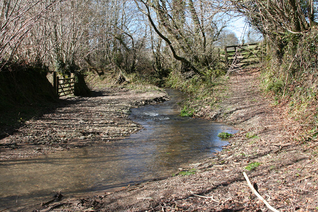
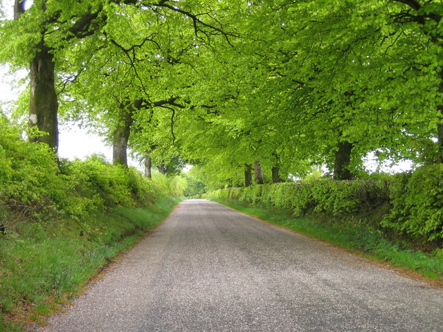
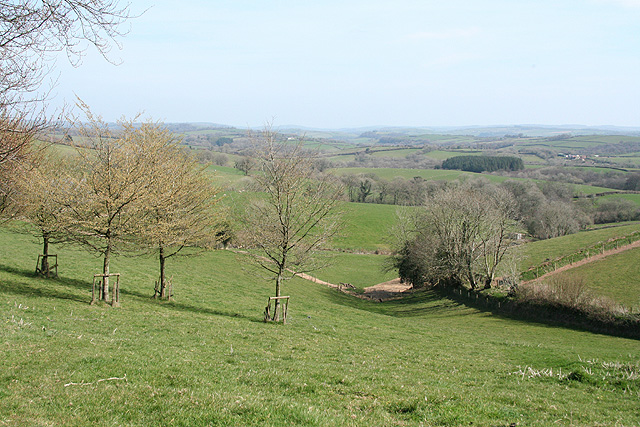
Armer Wood is a picturesque forest located in the county of Devon, England. Spread across a vast area, this woodland is known for its diverse range of flora and fauna, making it an ideal destination for nature enthusiasts and wildlife lovers.

The forest is characterized by its dense canopy of tall trees, primarily consisting of oak, beech, and birch. These majestic trees form a lush green cover that provides a serene and tranquil atmosphere for visitors. The forest floor is adorned with a carpet of vibrant wildflowers, adding to the beauty of the surroundings.

Armer Wood is also home to a wide variety of wildlife, including deer, foxes, badgers, and numerous bird species. The dense vegetation and abundant food sources attract these animals, making it a haven for them. Birdwatchers can often spot species such as woodpeckers, owls, and buzzards amidst the branches.

The forest offers a range of recreational activities for visitors. There are numerous walking trails that wind through the woodland, allowing visitors to explore its natural beauty at their own pace. These trails are well-maintained and provide stunning vistas of the surrounding countryside. Additionally, Armer Wood is a popular spot for camping and picnicking, with designated areas available for these activities.

Overall, Armer Wood in Devon is a captivating forest that offers a peaceful retreat from the hustle and bustle of city life. Its diverse ecosystem, scenic beauty, and recreational opportunities make it a must-visit destination for nature lovers and outdoor enthusiasts.

If you have any feedback on the listing, please let us know in the comments section below.
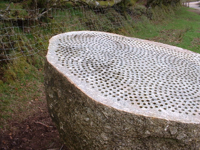
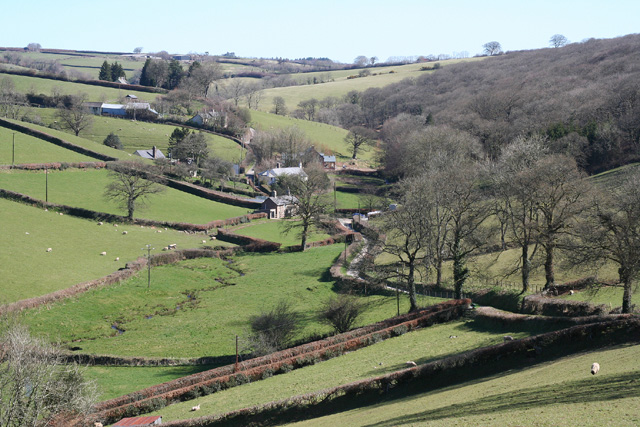
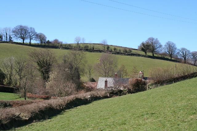
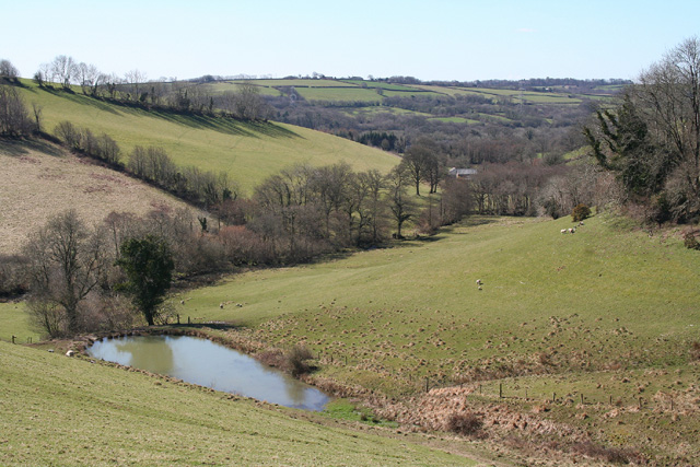
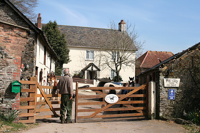
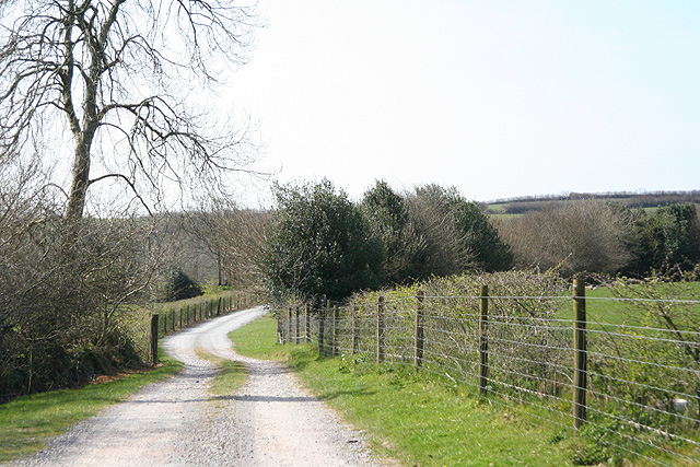
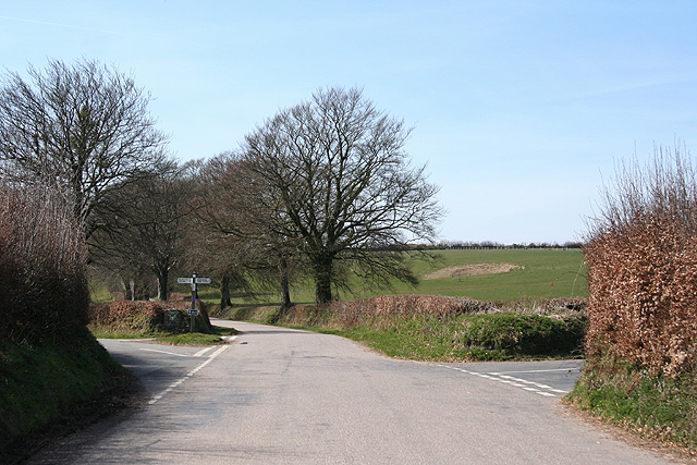
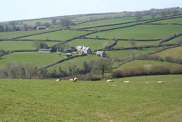
Armer Wood Images

Images are sourced within 2km of 51.031471/-3.6103511 or Grid Reference SS8727. Thanks to Geograph Open Source API. All images are credited.

IIMW sculpture by Peter Randall Page See also Granite Song in <a href="https://www.geograph.org.uk/gridref/SX7189">SX7189</a>
IIMW sculpture by Peter Randall Page
See also Granite Song in SX7189
Brushford: Venn Looking north from the lane between West Knowle and Hawkwell Cross
Brushford: Venn
Looking north from the lane between West Knowle and Hawkwell Cross
East Anstey: Waddicombe Looking north east from the start of a bridleway to Badlake Farm. There is some evidence for a medieval watermill at Waddicombe
East Anstey: Waddicombe
Looking north east from the start of a bridleway to Badlake Farm. There is some evidence for a medieval watermill at Waddicombe
East Anstey: approaching Oak Farm Looking west-south-west on a bridleway from Waddicombe to Dunsley
East Anstey: approaching Oak Farm
Looking west-south-west on a bridleway from Waddicombe to Dunsley
West Anstey: towards Dunsley Mill Looking south west from the bridleway below Badlake Farm
West Anstey: towards Dunsley Mill
Looking south west from the bridleway below Badlake Farm
East Anstey: ford on bridleway Looking west-south-west on bridleway from Waddicombe to Dunsley
East Anstey: ford on bridleway
Looking west-south-west on bridleway from Waddicombe to Dunsley
Brushford: Bere A farm in remote country between East Anstey and Dulverton, seen from its entrance gate. The track leading to the farm and on to Broomball Cross is also a public bridleway. Looking north west
Brushford: Bere
A farm in remote country between East Anstey and Dulverton, seen from its entrance gate. The track leading to the farm and on to Broomball Cross is also a public bridleway. Looking north west
Spring Beeches Beech trees lining the road on Twitchen Common.
Spring Beeches
Beech trees lining the road on Twitchen Common.
East Anstey - The Froude Arms Now closed and a private residence.
East Anstey - The Froude Arms
Now closed and a private residence.
East Anstey School A cold morning!
East Anstey School
A cold morning!
Houses at East Anstey
Dulverton: Higher Chilcott Farm Home of Pine Lodge Riding Holidays. Looking north east. See <span class="nowrap"><a title="http://www.pinelodge.countryside-inter.net/introductionframe.htm" rel="nofollow ugc noopener" href="http://www.pinelodge.countryside-inter.net/introductionframe.htm">Link</a><img style="margin-left:2px;" alt="External link" title="External link - shift click to open in new window" src="https://s1.geograph.org.uk/img/external.png" width="10" height="10"/></span>
Dulverton: Higher Chilcott Farm
Home of Pine Lodge Riding Holidays. Looking north east. See LinkExternal link
Dulverton: track to Cawkett Looking south west
Dulverton: track to Cawkett
Looking south west
East Anstey: Five Cross Ways Looking west-south-west. The road ahead leads to West Anstey Common and Molland. The left turn runs to West Anstey and Yeo Mill. Right for Hawkridge and Tarr Steps. Behind the camera are roads from Oldways End and Dulverton. This is also the border between Somerset and Devon and the boundary of the Exmoor National Park - the park sign is by the signpost
East Anstey: Five Cross Ways
Looking west-south-west. The road ahead leads to West Anstey Common and Molland. The left turn runs to West Anstey and Yeo Mill. Right for Hawkridge and Tarr Steps. Behind the camera are roads from Oldways End and Dulverton. This is also the border between Somerset and Devon and the boundary of the Exmoor National Park - the park sign is by the signpost
East Anstey: East Liscombe A farmhouse with self-catering holiday cottages rated 4-star by the English Tourism Council. The barn on the right retains an old threshing machine which was powered by horses in a round house attached to the building. Looking west-north-west. See also <span class="nowrap"><a title="http://www.ansteymillscottagedevon.co.uk" rel="nofollow ugc noopener" href="http://www.ansteymillscottagedevon.co.uk">Link</a><img style="margin-left:2px;" alt="External link" title="External link - shift click to open in new window" src="https://s1.geograph.org.uk/img/external.png" width="10" height="10"/></span>
East Anstey: East Liscombe
A farmhouse with self-catering holiday cottages rated 4-star by the English Tourism Council. The barn on the right retains an old threshing machine which was powered by horses in a round house attached to the building. Looking west-north-west. See also LinkExternal link
East Anstey: West Liscombe Looking south west by the path from Dulverton to Waddicombe
East Anstey: West Liscombe
Looking south west by the path from Dulverton to Waddicombe
East Anstey: towards West Liscombe
Dulverton: near Ridlers By the bridleway to Bere and Knowle. Looking east-south-east over a west Somerset landscape
Dulverton: near Ridlers
By the bridleway to Bere and Knowle. Looking east-south-east over a west Somerset landscape
Show me another place!

Armer Wood is located at Grid Ref: SS8727 (Lat: 51.031471, Lng: -3.6103511)

Administrative County: Devon

District: North Devon

Police Authority: Devon and Cornwall

What 3 Words

///flank.rejoiced.points. Near Dulverton, Somerset

Nearby Locations

Liscombe Wood Armer Wood

Related Wikis

Oldways End

Oldways End is a hamlet in the civil parish of East Anstey in the North Devon district of Devon, England. Its nearest town is Tiverton, which lies approximately...

East Anstey

East Anstey is a village and civil parish in the North Devon district of Devon, England. The parish is located in an area which has been designated as...

West Anstey

West Anstey is a village and civil parish on the River Yeo, about 5 miles west of Dulverton, in the North Devon district, in the county of Devon, England...

Mounsey Castle

Mounsey Castle is an Iron Age irregular triangular earthwork of 1.75 hectares (4.3 acres) north west of Dulverton, Somerset, England. It has been scheduled...

Briggins Moor

Briggins Moor is a 15.3 hectare biological Site of Special Scientific Interest in Somerset, notified in 1994. The site is south of Dulverton and close...

Brewer's Castle

Brewer's Castle is a defended Iron Age settlement in the West Somerset district of Somerset, England. The hill fort is situated approximately 2 miles...

Northmoor, Dulverton

Northmoor is an historic estate in the parish of Dulverton in Somerset, England. The Victorian mansion house known as Northmoor House is set amongst steep...

Church of St Giles, Hawkridge

The Anglican Church of St Giles in Hawkridge, Somerset, England was built in the 14th century. It is a Grade II* listed building. == History == The oldest...

Have you been to Armer Wood?

Leave your review of Armer Wood below (or comments, questions and feedback).