Buckethole Wood
Wood, Forest in Somerset Somerset West and Taunton
England
Buckethole Wood

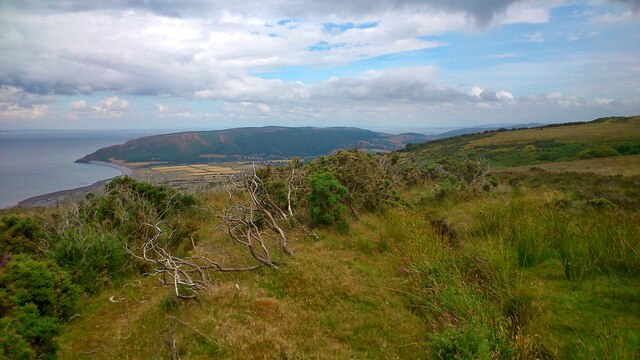
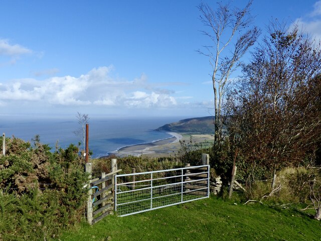
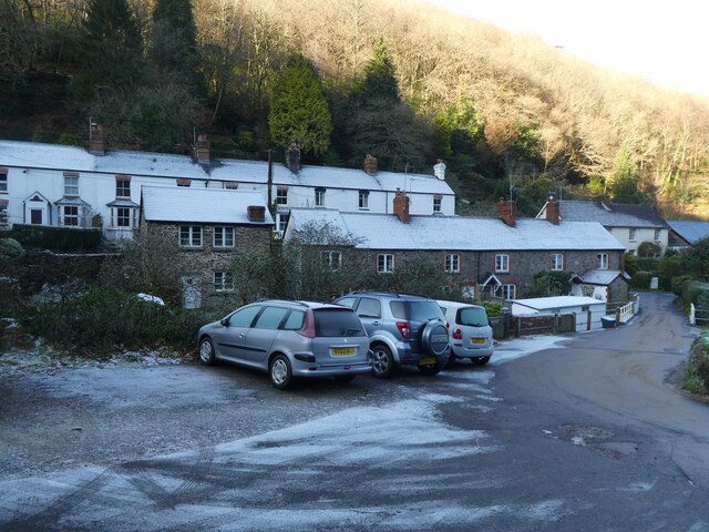
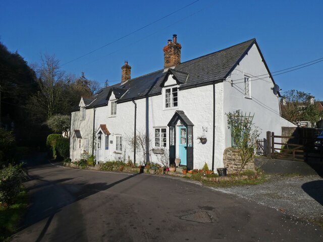
Buckethole Wood is a charming woodland located in Somerset, England. Situated on the outskirts of the village of Buckethole, the wood covers an area of approximately 50 acres, making it a perfect destination for nature enthusiasts and outdoor lovers.
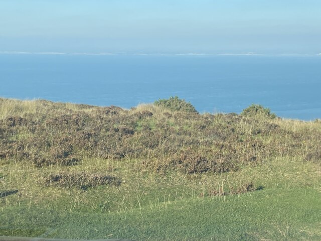
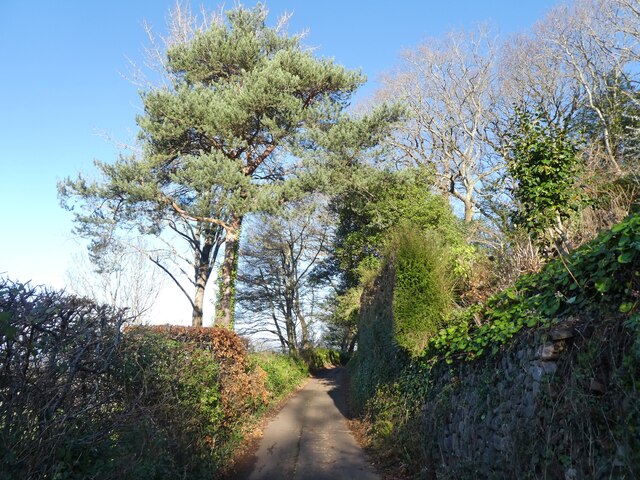
The wood is predominantly composed of native deciduous trees, such as oak, beech, and ash, which provide a rich habitat for a variety of wildlife. The dense canopy allows for a cool and peaceful environment, with dappled sunlight filtering through the leaves.
Traversing through Buckethole Wood, visitors will find a network of well-maintained trails that wind through the trees, allowing for easy exploration. The paths are suitable for hikers of all levels and are perfect for leisurely strolls or more challenging hikes.
Nature lovers visiting Buckethole Wood will have the opportunity to spot a range of wildlife species. The wood is home to a vibrant population of birds, including woodpeckers, tits, and thrushes, which fill the air with their melodious songs. Additionally, mammals such as deer, foxes, and badgers can occasionally be spotted within the wood's boundaries.
For those interested in learning more about the flora and fauna of Buckethole Wood, there are informational boards located throughout the area, providing interesting facts and details about the different species that can be found.
Overall, Buckethole Wood offers a tranquil and picturesque setting where visitors can immerse themselves in nature, enjoy peaceful walks, and observe the diverse wildlife that calls the wood home.
If you have any feedback on the listing, please let us know in the comments section below.
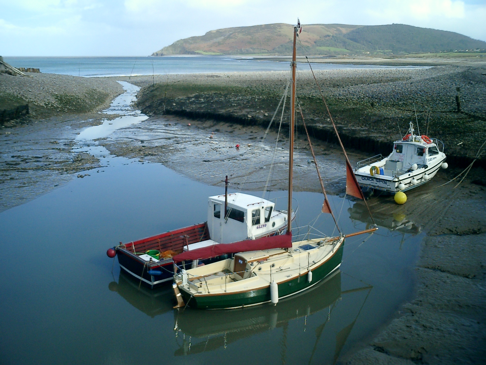
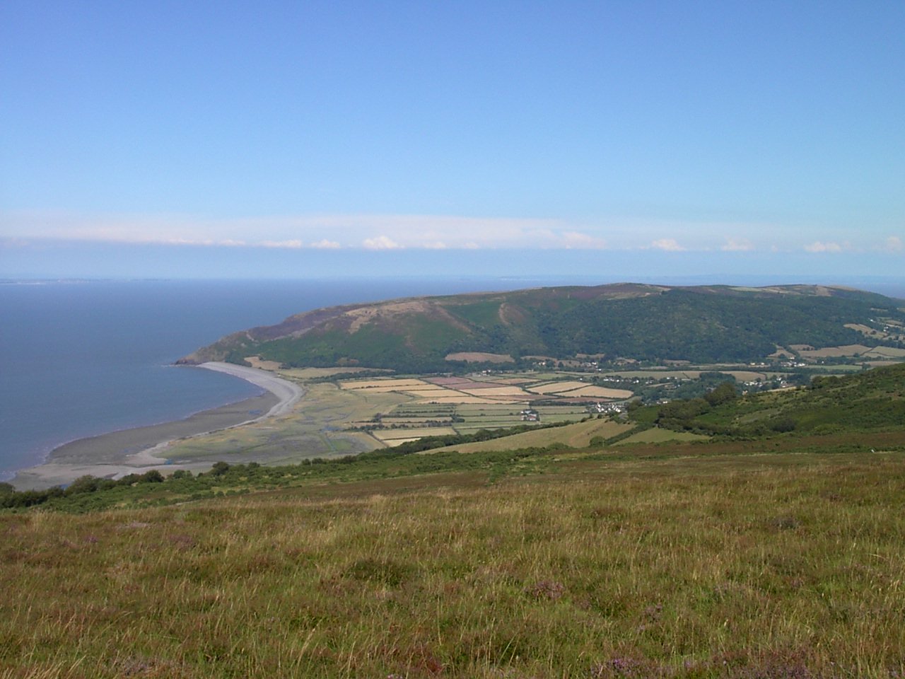
Buckethole Wood Images
Images are sourced within 2km of 51.197799/-3.6170755 or Grid Reference SS8745. Thanks to Geograph Open Source API. All images are credited.


Buckethole Wood is located at Grid Ref: SS8745 (Lat: 51.197799, Lng: -3.6170755)
Administrative County: Somerset
District: Somerset West and Taunton
Police Authority: Avon and Somerset
What 3 Words
///darling.rejects.cosmic. Near Porlock, Somerset
Nearby Locations
Related Wikis

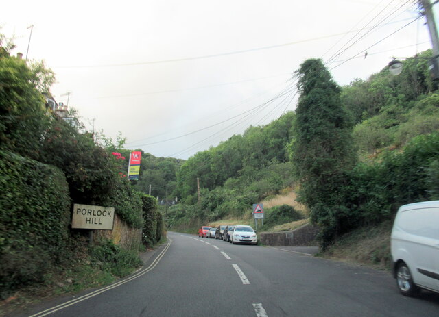
Porlock Hill
Porlock Hill is a road west of Porlock, Somerset. It is part of the A39, connecting Porlock to Lynmouth and Barnstaple in Devon and is the steepest A-road...

Berry Castle, Somerset
Berry Castle (sometimes known as Berry Camp) is an early Roman (possible Iron Age) hillslope enclosure in the West Somerset district of Somerset, England...

Hawkcombe Woods
Hawkcombe Woods is a national nature reserve near Porlock on Exmoor, Somerset, England.The 101 hectares (250 acres) woodlands are notable for their lichens...
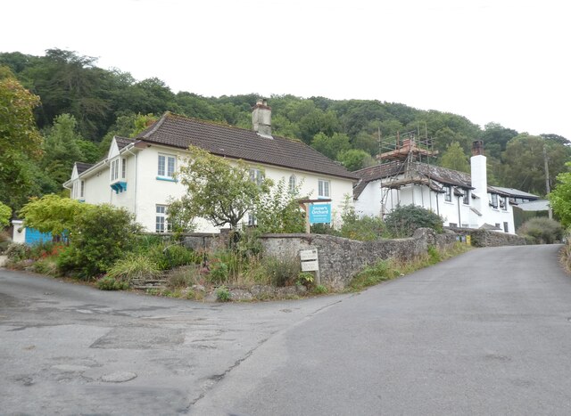
Porlock
Porlock is a coastal village in Somerset, England, 5 miles (8 km) west of Minehead. At the 2011 census, the village had a population of 1,440.In 2017,...

Dovery Manor Museum
Dovery Manor Museum, also known as Porlock Museum, is a local museum in Porlock, Somerset, England. The building was built as a Manor house in the late...

Stoke Pero Church
Stoke Pero Church in Stoke Pero, Somerset, England was built in the 13th century. It is a Grade II* listed building. Standing 1,013 feet (309 meters) above...

Nutscale Reservoir
Nutscale Reservoir is a reservoir located in Exmoor in north west Somerset, England. It supplies the town of Minehead and nearby Porlock and Porlock Weir...
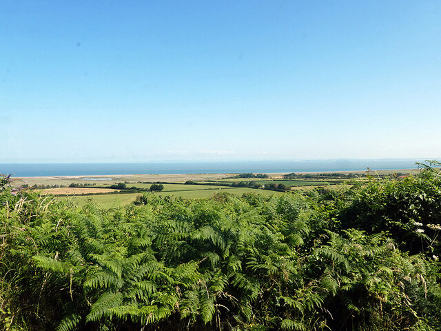
Porlock Bay
Porlock Bay is on the Bristol Channel, between Hurlstone Point and Porlock Weir in Somerset, England. The coastline includes shingle ridges, salt marshes...
Nearby Amenities
Located within 500m of 51.197799,-3.6170755Have you been to Buckethole Wood?
Leave your review of Buckethole Wood below (or comments, questions and feedback).