Farside Copse

Wood, Forest in Devon North Devon

England

Farside Copse

Entering North Devon on the A361 This sign refers to the administrative district of Devon governed by the North Devon District Council. It is sometimes confused with the geographical area known as North Devon, and sometimes as Northern Devon, which includes some of Torridge District Council's domain.
Entering North Devon on the A361 Credit: Roger A Smith

The requested URL returned error: 429 Too Many Requests

If you have any feedback on the listing, please let us know in the comments section below.

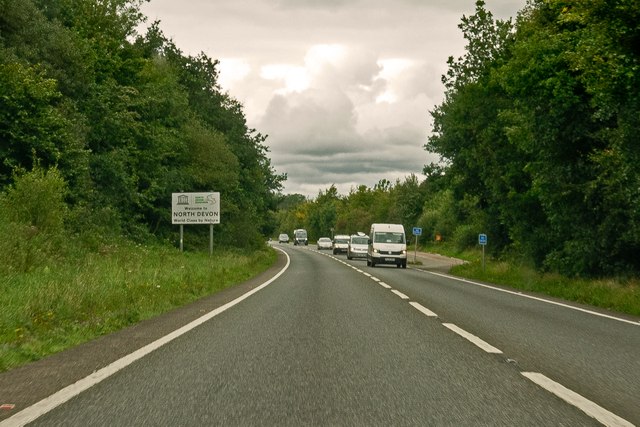
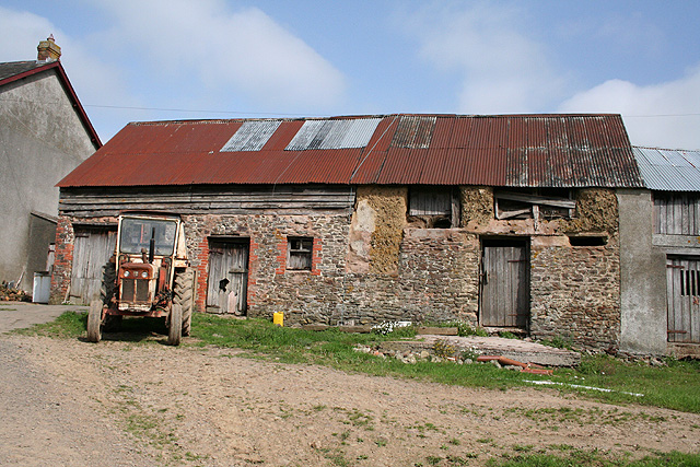
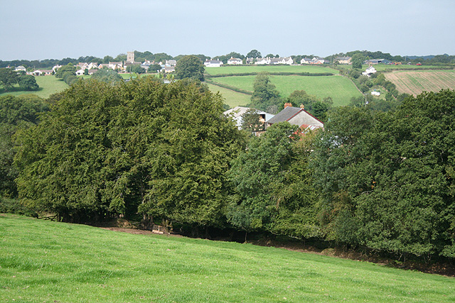
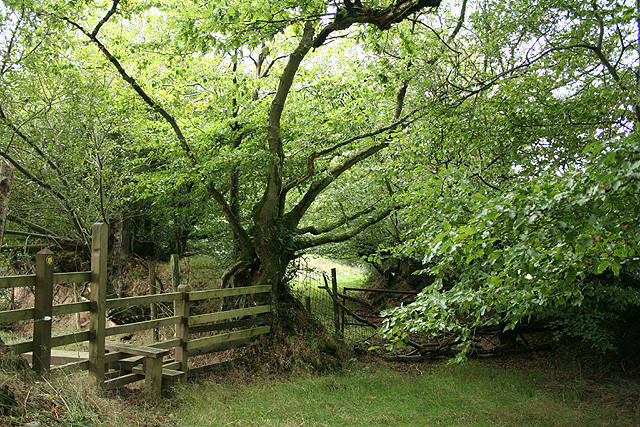
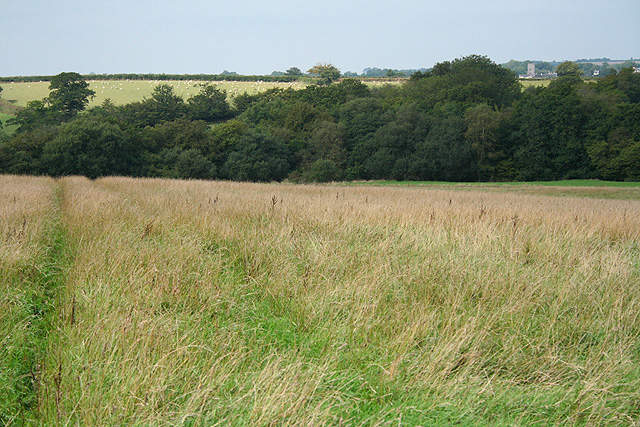
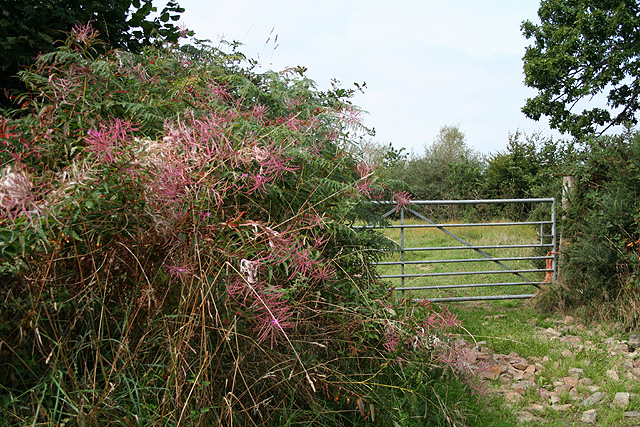
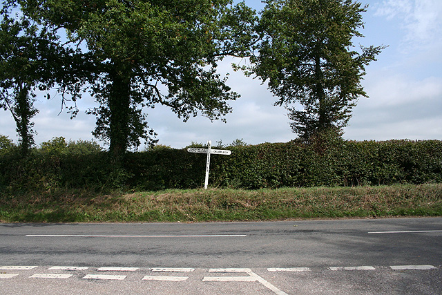
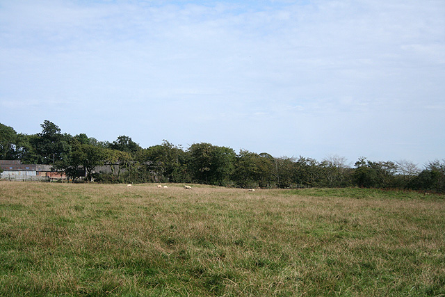
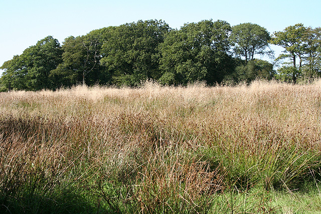
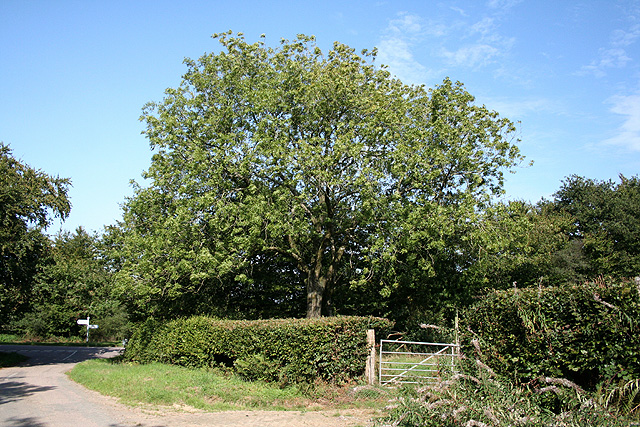
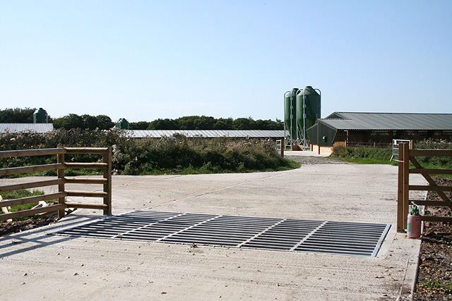
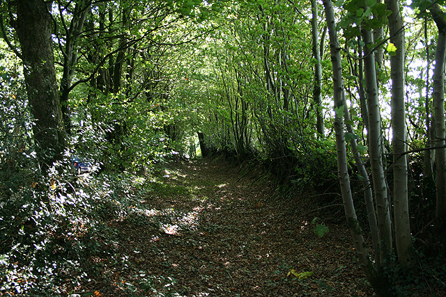
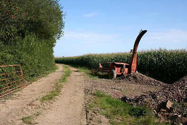
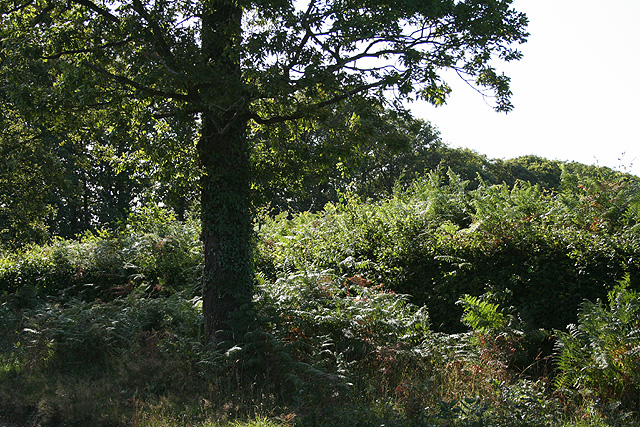
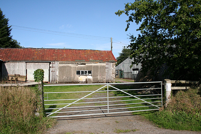
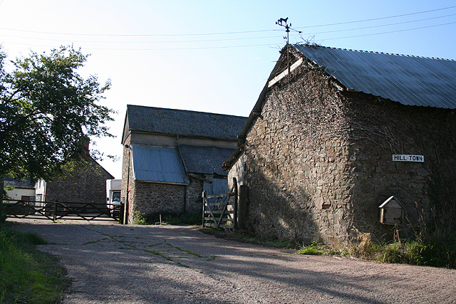
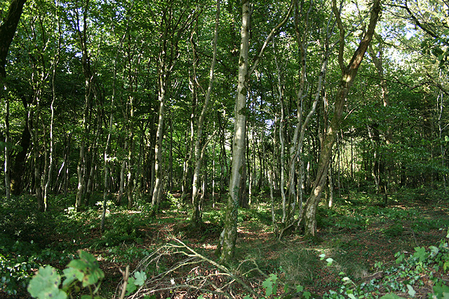
Farside Copse Images

Images are sourced within 2km of 50.941437/-3.6094298 or Grid Reference SS8717. Thanks to Geograph Open Source API. All images are credited.

Entering North Devon on the A361 This sign refers to the administrative district of Devon governed by the North Devon District Council. It is sometimes confused with the geographical area known as North Devon, and sometimes as Northern Devon, which includes some of Torridge District Council's domain.
Entering North Devon on the A361
This sign refers to the administrative district of Devon governed by the North Devon District Council. It is sometimes confused with the geographical area known as North Devon, and sometimes as Northern Devon, which includes some of Torridge District Council's domain.
Rackenford: crossing the Little Dart A footbridge on the path between the village and Lower Bulworthy. Looking north west
Rackenford: crossing the Little Dart
A footbridge on the path between the village and Lower Bulworthy. Looking north west
Rackenford: Lower Bulworthy Barn of stone, cob, brick, wood and corrugated iron, fronted by a David Brown tractor. Looking north-north-west from a public footpath. Bulworthy was a Domesday estate
Rackenford: Lower Bulworthy
Barn of stone, cob, brick, wood and corrugated iron, fronted by a David Brown tractor. Looking north-north-west from a public footpath. Bulworthy was a Domesday estate
Rackenford: towards the village Above Lower Bulworthy and bearing west-north-west towards the village
Rackenford: towards the village
Above Lower Bulworthy and bearing west-north-west towards the village
Rackenford: between Lower Bulworthy and Tidderson Moor On a public footpath looking south-south-east
Rackenford: between Lower Bulworthy and Tidderson Moor
On a public footpath looking south-south-east
Rackenford: on Tidderson Moor Looking north west towards Rackenford village. The country around tends to support large flocks of sheep rather than herds of cattle
Rackenford: on Tidderson Moor
Looking north west towards Rackenford village. The country around tends to support large flocks of sheep rather than herds of cattle
Rackenford: approaching Bulworthy Knap Rose Bay Willow Herb or Fireweed in the bank of the lane from Tidderson Moor. Looking north west
Rackenford: approaching Bulworthy Knap
Rose Bay Willow Herb or Fireweed in the bank of the lane from Tidderson Moor. Looking north west
Rackenford: Bulworthy Knap Road junction, looking north. Here the lane from Tidderson Moor meets the B3221 from Tiverton to South Molton, now a byway since the North Devon Link Road opened
Rackenford: Bulworthy Knap
Road junction, looking north. Here the lane from Tidderson Moor meets the B3221 from Tiverton to South Molton, now a byway since the North Devon Link Road opened
Templeton: near Gibbett Moor Cross Looking east towards Higher North Coombe Farm. The humps are the remains of tumuli
Templeton: near Gibbett Moor Cross
Looking east towards Higher North Coombe Farm. The humps are the remains of tumuli
Templeton: by North Coombe Cross Looking north-north-west
Templeton: by North Coombe Cross
Looking north-north-west
Templeton: Ash tree at Gibbett Moor Cross Looking north-north-east. Just beyond the signpost, hidden by trees, is the North Devon Link Road
Templeton: Ash tree at Gibbett Moor Cross
Looking north-north-east. Just beyond the signpost, hidden by trees, is the North Devon Link Road
Rackenford: new farm Newly-constructed buildings and feed silos which appear to be intended for intensive stock rearing. Looking west-north-west by the lane from Horestone Cross
Rackenford: new farm
Newly-constructed buildings and feed silos which appear to be intended for intensive stock rearing. Looking west-north-west by the lane from Horestone Cross
Rackenford: old way The old road to Horestone Cross may have incorporated this way, abandoned perhaps in favour of the narrower lane, which adjoins to the right, once sheep droving ceased
Rackenford: old way
The old road to Horestone Cross may have incorporated this way, abandoned perhaps in favour of the narrower lane, which adjoins to the right, once sheep droving ceased
Templeton: Landfoot Moor Track by a field of maize. Looking east-south-east
Templeton: Landfoot Moor
Track by a field of maize. Looking east-south-east
Rackenford: roadside oak Looking west-south-west near the parish boundary with Witheridge, defined by the line of trees beyond the oak
Rackenford: roadside oak
Looking west-south-west near the parish boundary with Witheridge, defined by the line of trees beyond the oak
Witheridge: Home Farm Looking north east by a farm yard
Witheridge: Home Farm
Looking north east by a farm yard
Witheridge: Hill Town Looking west in late afternoon September light; the farmhouse stands beyond the barns
Witheridge: Hill Town
Looking west in late afternoon September light; the farmhouse stands beyond the barns
Witheridge: wood by Home Farm Looking north west opposite the entrance to the farm
Witheridge: wood by Home Farm
Looking north west opposite the entrance to the farm
Show me another place!

Farside Copse is located at Grid Ref: SS8717 (Lat: 50.941437, Lng: -3.6094298)

Administrative County: Devon

District: North Devon

Police Authority: Devon and Cornwall

What 3 Words

///passenger.rescuer.resources. Near Witheridge, Devon

Nearby Locations

Farside Copse

Related Wikis

Rackenford

Rackenford is a village and civil parish in North Devon, England. It is roughly located 7.31 miles North West of Tiverton and 20 miles South East of Barnstaple...

Templeton, Devon

Templeton is a hamlet, parish and former manor in Devon, England, situated 4 miles west of Tiverton. The parish church is dedicated to St Margaret. �...

Loxbeare

Loxbeare is a village and civil parish in Devon, England. The church is from the twelfth century and the tower is probably Norman. It is dedicated to St...

Nomansland, Devon

Nomansland is a hamlet in Devon, England, with a population of about 150. It is eight miles west of Tiverton. It is so named because it was at one time...

Nearby Amenities

Located within 500m of 50.941437,-3.6094298
Ford: yes
Source: OS_OpenData_StreetView
Lat/Long: 50.9374319/-3.6123059
Generator Method: photovoltaic
Generator Output Electricity: yes
Generator Source: solar
Generator Type: solar_photovoltaic_panel
Location: roof
Power: generator
Lat/Long: 50.942188/-3.6141895
Generator Method: photovoltaic
Generator Output Electricity: yes
Generator Source: solar
Generator Type: solar_photovoltaic_panel
Location: roof
Power: generator
Lat/Long: 50.9424305/-3.6141117
The data included in this document is from www.openstreetmap.org. The data is made available under ODbL.

Have you been to Farside Copse?

Leave your review of Farside Copse below (or comments, questions and feedback).