Babcombe Copse
Wood, Forest in Devon Teignbridge
England
Babcombe Copse
Babbacombe Copse is a picturesque woodland located in the county of Devon, England. Covering an area of approximately 10 acres, it is situated in the popular seaside town of Babbacombe, near Torquay. The copse is nestled on the eastern side of the town, offering a peaceful and natural retreat for both locals and visitors alike.
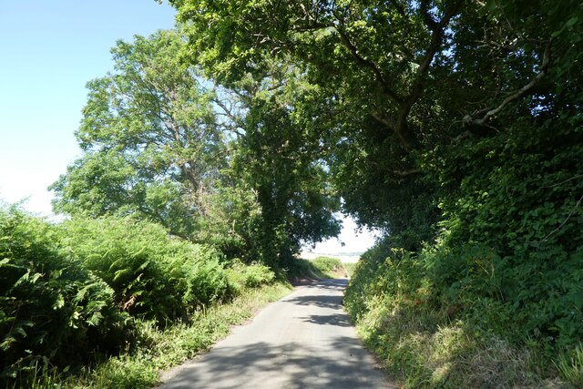
This ancient woodland is characterized by a diverse range of trees, including oak, beech, ash, and sycamore. The dense canopy of foliage provides ample shade and creates a serene atmosphere throughout the copse. The forest floor is covered in a rich carpet of mosses, ferns, and wildflowers, adding to the area's charm and beauty.
Babbacombe Copse is renowned for its wildlife, attracting a wide variety of bird species, such as woodpeckers, thrushes, and finches. The copse is also home to several small mammals, including rabbits, squirrels, and voles. Nature enthusiasts can enjoy observing these creatures in their natural habitat as they go about their daily routines.
The copse offers a network of well-maintained footpaths, allowing visitors to explore and appreciate the tranquil surroundings. These paths lead to secluded clearings, ideal for picnics or moments of quiet contemplation. Additionally, the copse is equipped with several benches, offering a place to rest and soak in the natural beauty.
Babbacombe Copse is a cherished local treasure, providing a haven of peace and tranquility in the heart of Babbacombe. It is a perfect destination for nature lovers, families, and those seeking respite from the hustle and bustle of everyday life.
If you have any feedback on the listing, please let us know in the comments section below.
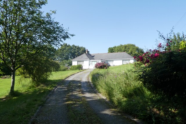
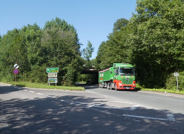
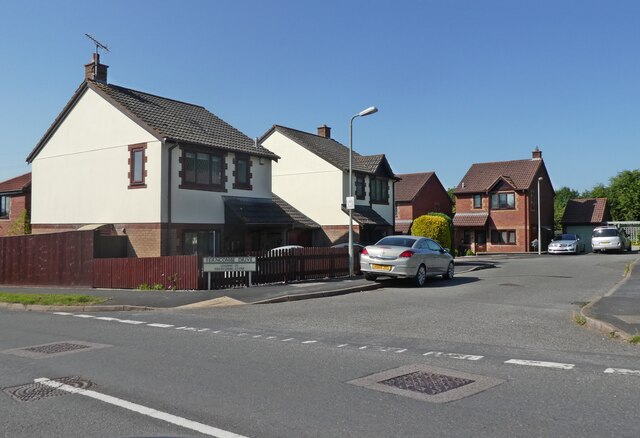
Babcombe Copse Images
Images are sourced within 2km of 50.57755/-3.6015537 or Grid Reference SX8676. Thanks to Geograph Open Source API. All images are credited.


Babcombe Copse is located at Grid Ref: SX8676 (Lat: 50.57755, Lng: -3.6015537)
Administrative County: Devon
District: Teignbridge
Police Authority: Devon and Cornwall
What 3 Words
///pining.insolvent.hampers. Near Chudleigh Knighton, Devon
Nearby Locations
Related Wikis

Olchard
Olchard is a village in Devon, England.
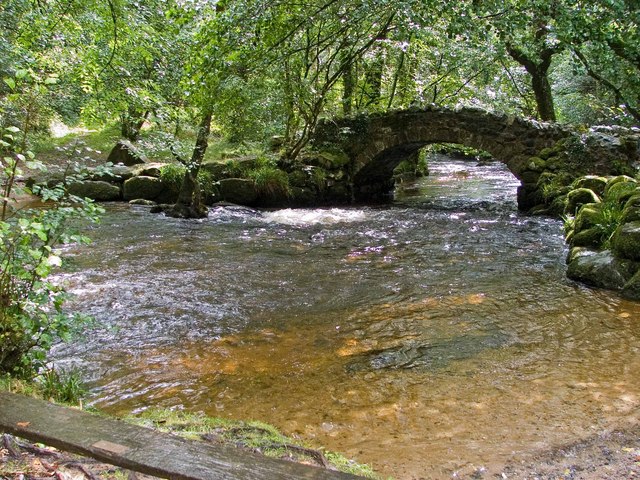
River Bovey
The River Bovey rises on the eastern side of Dartmoor in Devon, England, and is the largest tributary to the River Teign. The river has two main source...

Ugbrooke
Ugbrooke House is a stately home in the parish of Chudleigh, Devon, England, situated in a valley between Exeter and Newton Abbot. The home of the Clifford...

Teignbridge
Teignbridge is a local government district in Devon, England. Its council is based in the town of Newton Abbot. The district also includes the towns of...

Chudleigh Cavern
Chudleigh Cavern is a limestone cave outside the town of Chudleigh in Devon, England. The cave is deep and contains stalactites. A small part is open to...
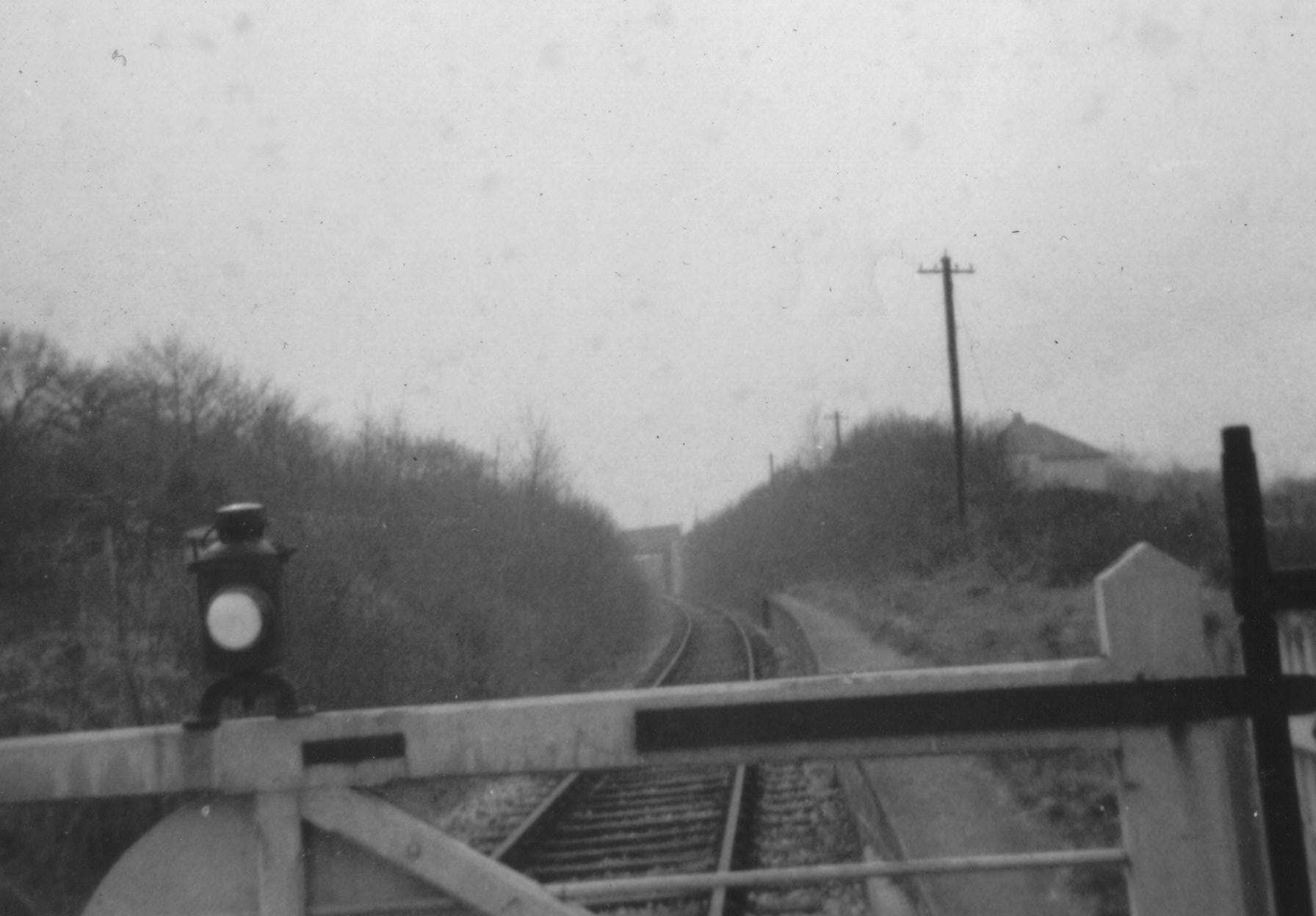
Chudleigh railway station
Chudleigh railway station was a railway station in Chudleigh, a small town in Devon, England located between the towns of Newton Abbot and Exeter. The...
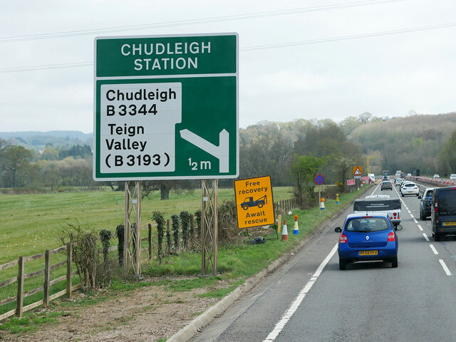
Chudleigh Knighton
Chudleigh Knighton is a small village in Devon, England, near to Newton Abbot and Bovey Tracey. == Amenities == Chudleigh Knighton Church of England Primary...
Chudleigh Knighton Halt railway station
Chudleigh Knighton Halt was on the Teign Valley Line serving the small village of Chudleigh Knighton, Devon, England. The halt, built by the Great Western...
Nearby Amenities
Located within 500m of 50.57755,-3.6015537Have you been to Babcombe Copse?
Leave your review of Babcombe Copse below (or comments, questions and feedback).