Cilgwyn
Settlement in Caernarfonshire
Wales
Cilgwyn

Cilgwyn is a small village located in the historic county of Caernarfonshire in Wales. Situated in the northern part of the country, Cilgwyn lies about 3 miles southeast of the town of Caernarfon and approximately 12 miles southwest of Bangor.
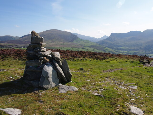
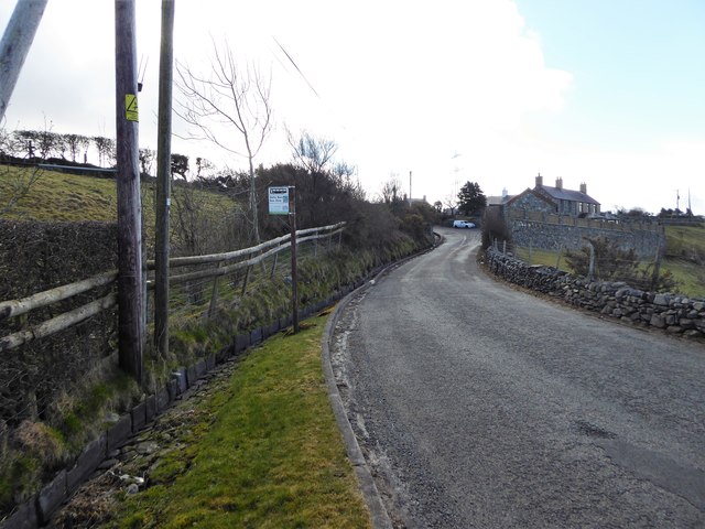
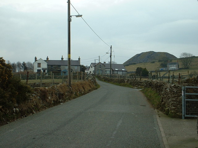
As a rural settlement, Cilgwyn is surrounded by picturesque countryside and rolling hills, offering beautiful views of the Snowdonia National Park to the east. The village itself is characterized by a collection of traditional Welsh stone houses, reflecting its rich historical heritage.
Despite its small size, Cilgwyn boasts a close-knit community that takes great pride in preserving its cultural traditions. The Welsh language is widely spoken, and the village has strong ties to its Celtic roots. Residents often participate in local events and festivals, celebrating Welsh customs, music, and dance.
Cilgwyn enjoys a tranquil and peaceful atmosphere, making it an ideal location for those seeking a slower pace of life. The village is surrounded by green fields and meadows, providing opportunities for outdoor activities such as walking, hiking, and cycling. The nearby coastline offers stunning beaches and scenic coastal walks, attracting visitors and locals alike.
Although Cilgwyn does not have its own shops or amenities, the town of Caernarfon is easily accessible, providing residents with convenient access to essential services, schools, and shopping opportunities.
Overall, Cilgwyn offers a charming and idyllic setting for those who appreciate the beauty of the Welsh countryside and a strong sense of community.
If you have any feedback on the listing, please let us know in the comments section below.
Cilgwyn Images
Images are sourced within 2km of 53.061153/-4.248243 or Grid Reference SH4953. Thanks to Geograph Open Source API. All images are credited.


Cilgwyn is located at Grid Ref: SH4953 (Lat: 53.061153, Lng: -4.248243)
Unitary Authority: Gwynedd
Police Authority: North Wales
What 3 Words
///tipping.grower.depth. Near Talysarn, Gwynedd
Nearby Locations
Related Wikis
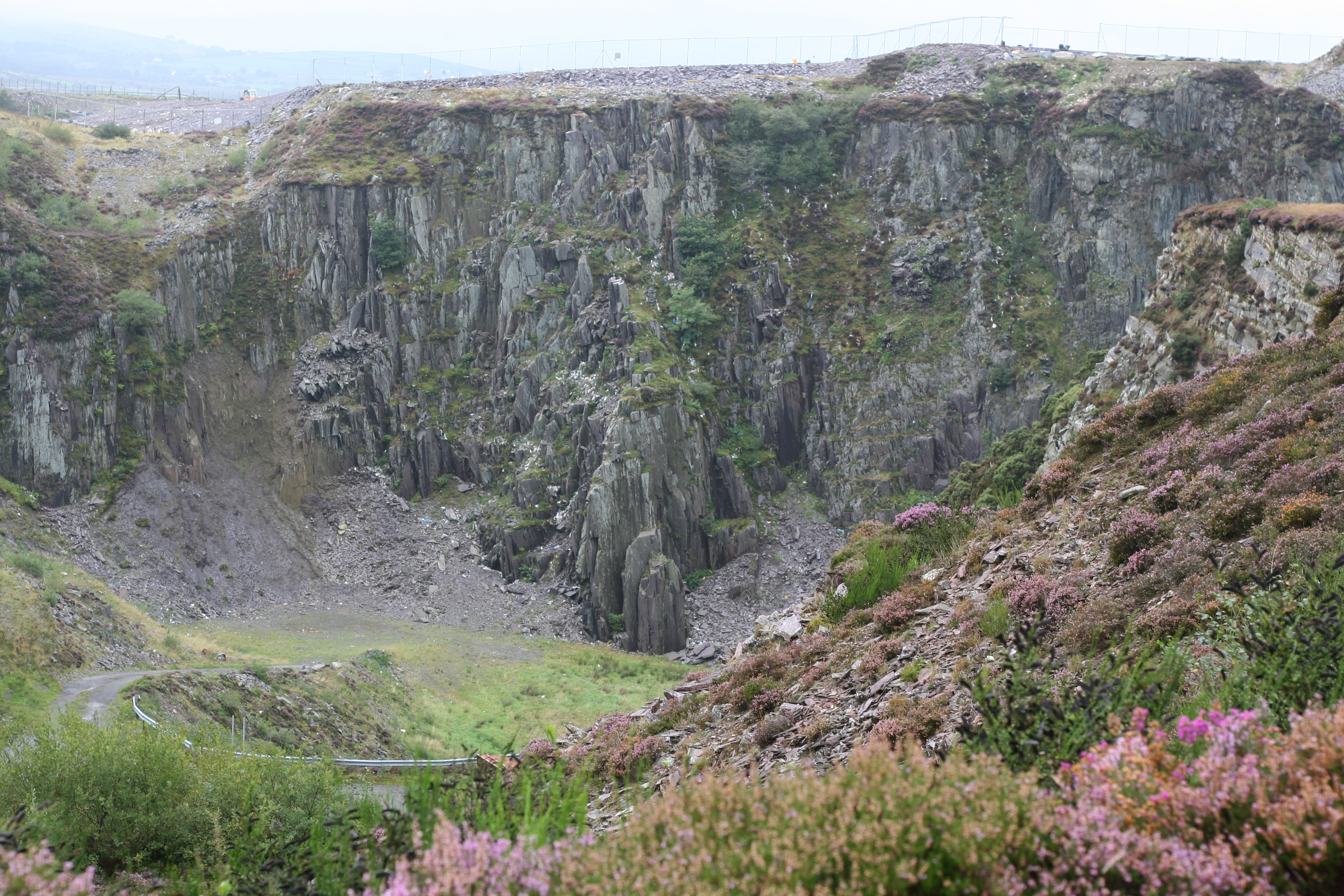
Cilgwyn quarry
Cilgwyn quarry is a slate quarry located on the north edge of the Nantlle Vale, in North Wales. It is one of the earliest slate quarries in Great Britain...
Carmel, Gwynedd
Carmel is a small village near Y Fron in Gwynedd, north-west Wales. The village is built up mainly of Victorian homes, with a more modern area. The village...

Talysarn
Tal-y-sarn () is a village in the slate quarrying Nantlle Valley in Gwynedd, Wales, next to Penygroes. It is part of the community of Llanllyfni and includes...
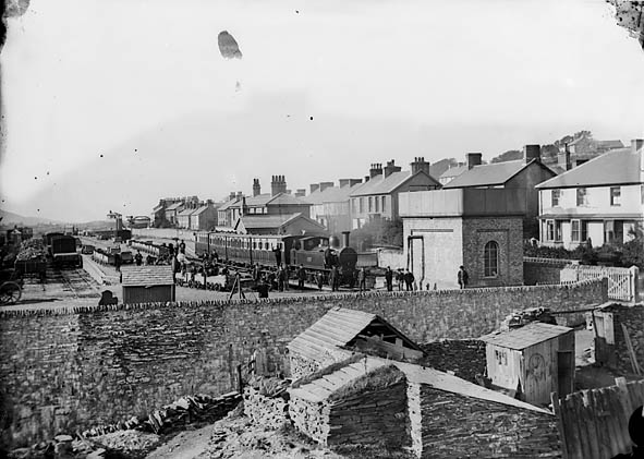
Nantlle railway station
Nantlle was a railway station located in Talysarn, a neighbouring village to Nantlle, in Gwynedd, Wales. From 1828 the narrow gauge, horse-drawn Nantlle...
Nearby Amenities
Located within 500m of 53.061153,-4.248243Have you been to Cilgwyn?
Leave your review of Cilgwyn below (or comments, questions and feedback).