Blackford Plantation
Wood, Forest in Somerset Somerset West and Taunton
England
Blackford Plantation
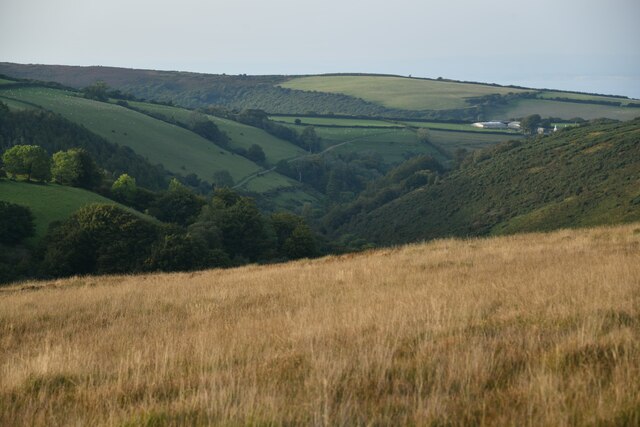
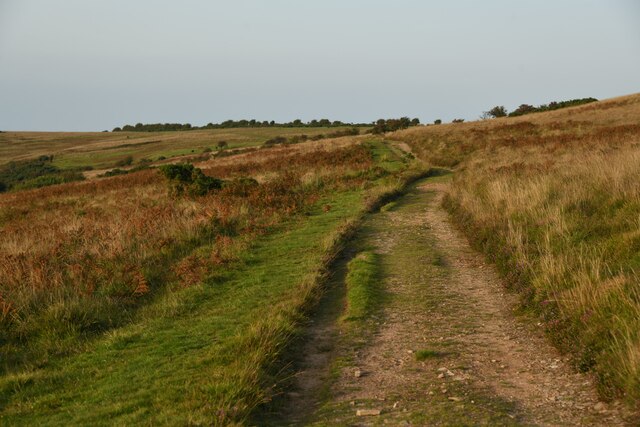
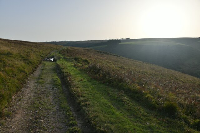
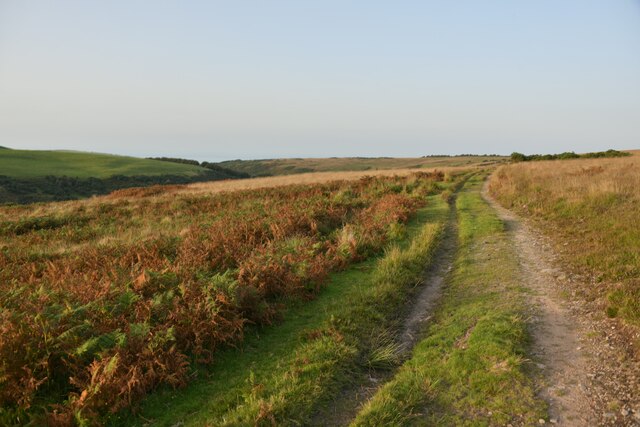
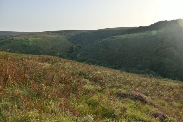
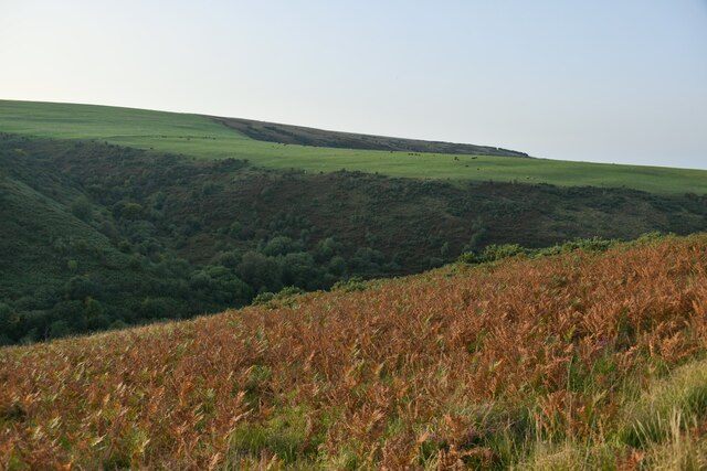
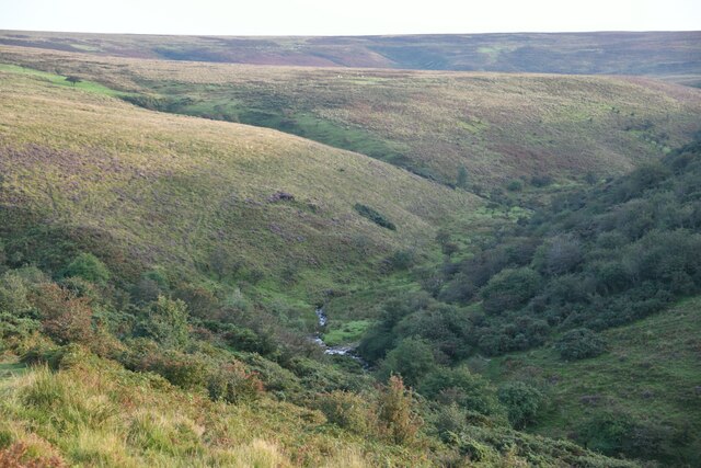
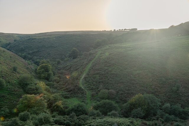
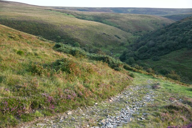
Blackford Plantation is a sprawling woodland area located in Somerset, England. Covering an expansive area of lush greenery, it is known for its rich biodiversity and scenic beauty. The plantation is situated near the village of Blackford, nestled between the towns of Wedmore and Axbridge.
Blackford Plantation is predominantly composed of deciduous trees, with oak, beech, and ash being the most common species found in the area. These trees create a dense canopy that provides shade and shelter to a wide variety of flora and fauna. The forest floor is covered in a thick layer of leaf litter, providing nutrients for a diverse range of plants, including bluebells, ferns, and wild garlic.
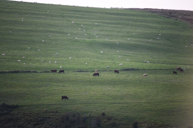
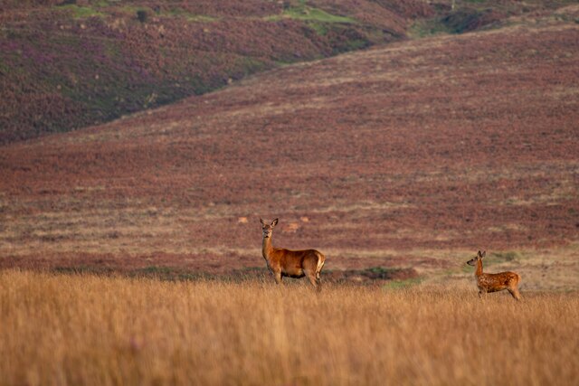
Wildlife thrives within the plantation, with an abundance of bird species, such as woodpeckers, thrushes, and owls, making it their home. The woodland also supports a healthy population of mammals, including deer, foxes, and badgers. Visitors to Blackford Plantation may be lucky enough to spot these creatures while exploring the numerous walking trails that wind through the area.
The plantation is managed by local authorities, who strive to maintain its natural beauty and protect its ecosystems. It serves as a recreational destination for nature enthusiasts, offering opportunities for hiking, birdwatching, and photography. The tranquil atmosphere and picturesque surroundings make Blackford Plantation a popular spot for locals and tourists alike, who seek solace in the midst of nature's bounty.
If you have any feedback on the listing, please let us know in the comments section below.
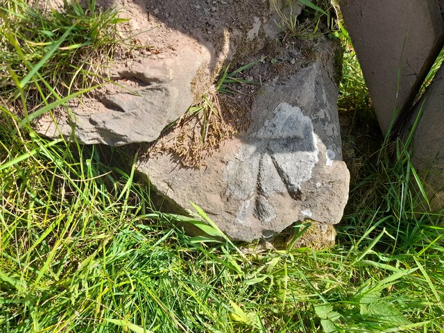
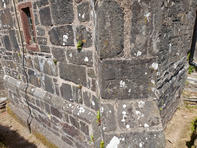
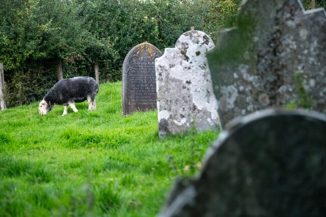
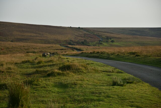
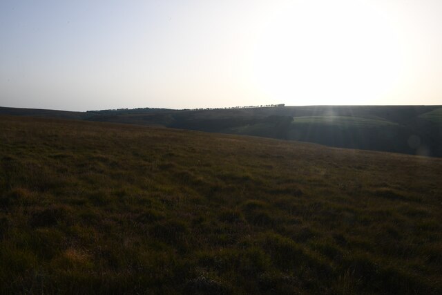
Blackford Plantation Images
Images are sourced within 2km of 51.182307/-3.6279082 or Grid Reference SS8643. Thanks to Geograph Open Source API. All images are credited.


Blackford Plantation is located at Grid Ref: SS8643 (Lat: 51.182307, Lng: -3.6279082)
Administrative County: Somerset
District: Somerset West and Taunton
Police Authority: Avon and Somerset
What 3 Words
///skylights.fail.revolts. Near Porlock, Somerset
Nearby Locations
Related Wikis

Nutscale Reservoir
Nutscale Reservoir is a reservoir located in Exmoor in north west Somerset, England. It supplies the town of Minehead and nearby Porlock and Porlock Weir...

Berry Castle, Somerset
Berry Castle (sometimes known as Berry Camp) is an early Roman (possible Iron Age) hillslope enclosure in the West Somerset district of Somerset, England...

Stoke Pero Church
Stoke Pero Church in Stoke Pero, Somerset, England was built in the 13th century. It is a Grade II* listed building. Standing 1,013 feet (309 meters) above...

Porlock Stone Circle
Porlock Stone Circle is a stone circle located on Exmoor, near the village of Porlock in the south-western English county of Somerset. The Porlock ring...

Sweetworthy
Sweetworthy is the site of two Iron Age hill forts or enclosures at Luccombe, 4 kilometres (2 mi) south of Porlock, Somerset, England. They are on the...
Almsworthy Common
Almsworthy Common is a small area of unenclosed land in Exmoor, south-western England. It contains a number of archaeological sites. It is about 2 miles...

Alderman's Barrow
Alderman's Barrow is a bowl barrow on Exmoor. It was created as a burial chamber in the Bronze Age and subsequently became a marker for the boundary of...

Porlock Hill
Porlock Hill is a road west of Porlock, Somerset. It is part of the A39, connecting Porlock to Lynmouth and Barnstaple in Devon and is the steepest A-road...
Have you been to Blackford Plantation?
Leave your review of Blackford Plantation below (or comments, questions and feedback).