Ashgrove Copse
Wood, Forest in Devon Mid Devon
England
Ashgrove Copse

Ashgrove Copse is a picturesque woodland located in the county of Devon, England. Covering an area of approximately 200 acres, it is nestled within the rolling hills of the Devonshire countryside. This woodland is a haven for nature enthusiasts and offers a tranquil escape from the hustle and bustle of modern life.
The copse is predominantly made up of native deciduous trees such as oak, beech, and birch, which create a rich and diverse habitat for a variety of wildlife. The forest floor is adorned with a carpet of bluebells in the spring, creating a stunning display of color and fragrance.
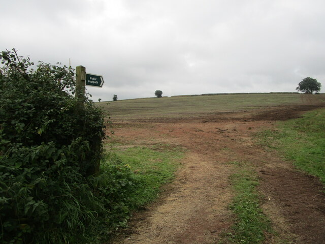
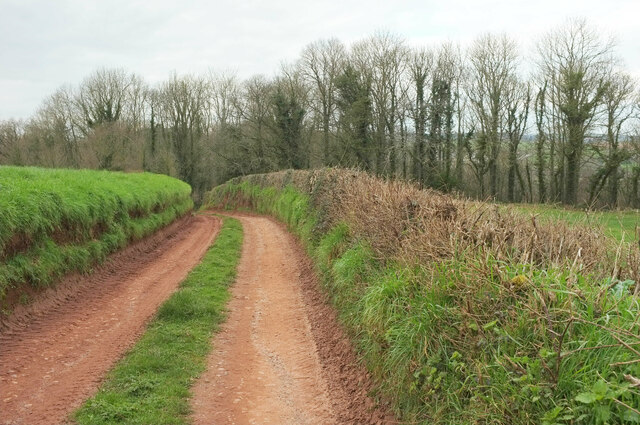
Ashgrove Copse is intersected by several footpaths and trails, providing visitors with ample opportunities for walking, hiking, and exploring. These paths wind their way through the woodland, offering breathtaking views of the surrounding landscape. There are also designated picnic areas and benches, allowing visitors to rest and take in the peaceful surroundings.
The copse is home to a wide range of bird species, including woodpeckers, owls, and songbirds. It is not uncommon to spot deer, rabbits, and squirrels darting through the undergrowth, adding to the sense of natural beauty and serenity.
Managed by a local conservation group, Ashgrove Copse is carefully protected and maintained to ensure the preservation of its natural beauty and biodiversity. The woodland is open to the public year-round, free of charge, and attracts visitors from near and far who are seeking an escape into nature.
If you have any feedback on the listing, please let us know in the comments section below.
Ashgrove Copse Images
Images are sourced within 2km of 50.793208/-3.6206917 or Grid Reference SS8500. Thanks to Geograph Open Source API. All images are credited.


Ashgrove Copse is located at Grid Ref: SS8500 (Lat: 50.793208, Lng: -3.6206917)
Administrative County: Devon
District: Mid Devon
Police Authority: Devon and Cornwall
What 3 Words
///flatten.decades.everybody. Near Crediton, Devon
Nearby Locations
Related Wikis

Little Fulford
Little Fulford was an historic estate in the parishes of Shobrooke and Crediton, Devon. It briefly share ownership before 1700 with Great Fulford, in Dunsford...
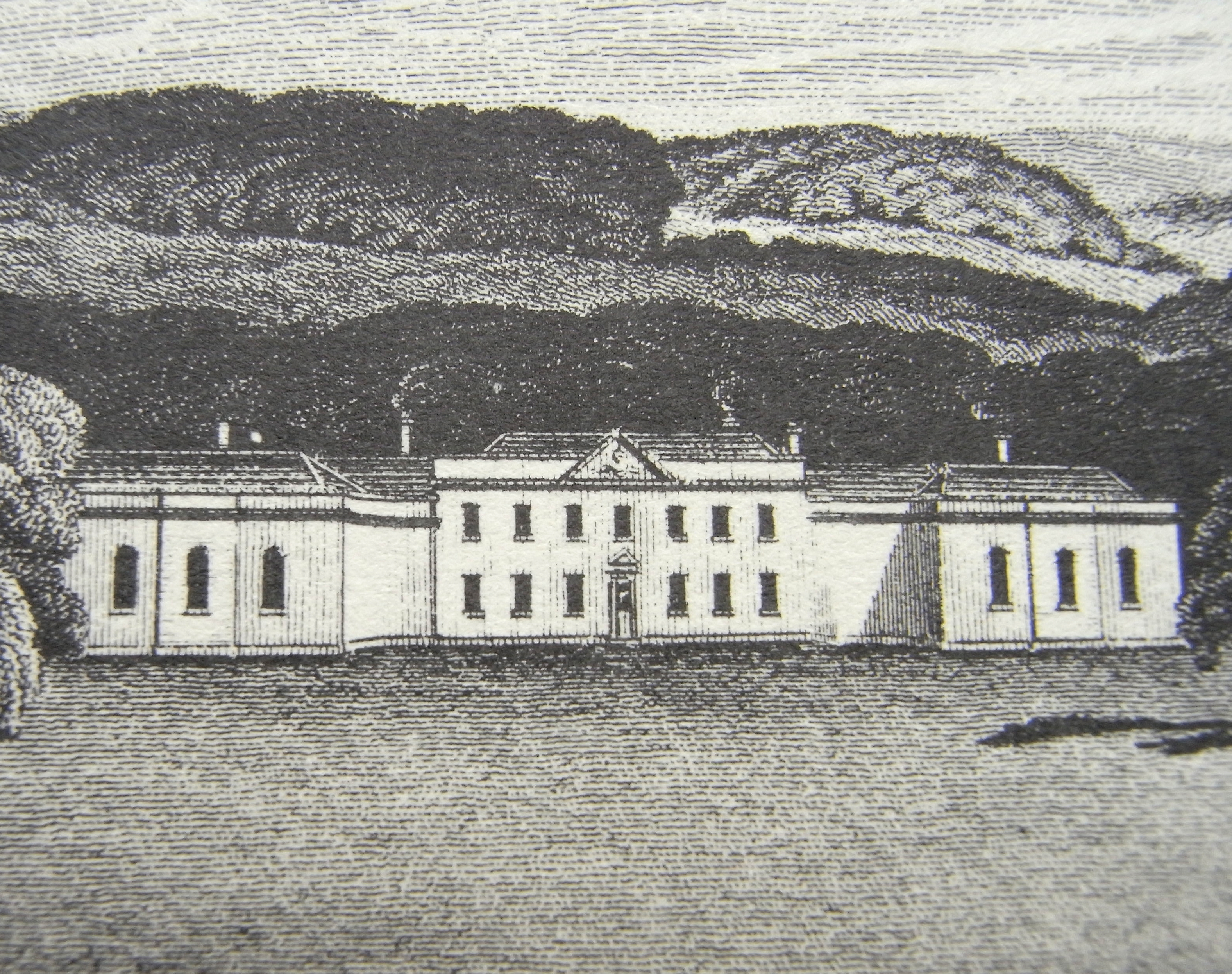
Downes, Crediton
Downes House is situated about one mile east of Crediton in Devon. The house is an 18th-century Palladian re-modelling of an earlier house. It was classed...
Shobrooke
Shobrooke is a village, parish and former manor in Devon, England. The village is situated about 1 1/2 miles north-east of Crediton. It is located close...

Crediton United A.F.C.
Crediton United Association Football Club is a football club based in Crediton, Devon, England. They are currently members of the South West Peninsula...
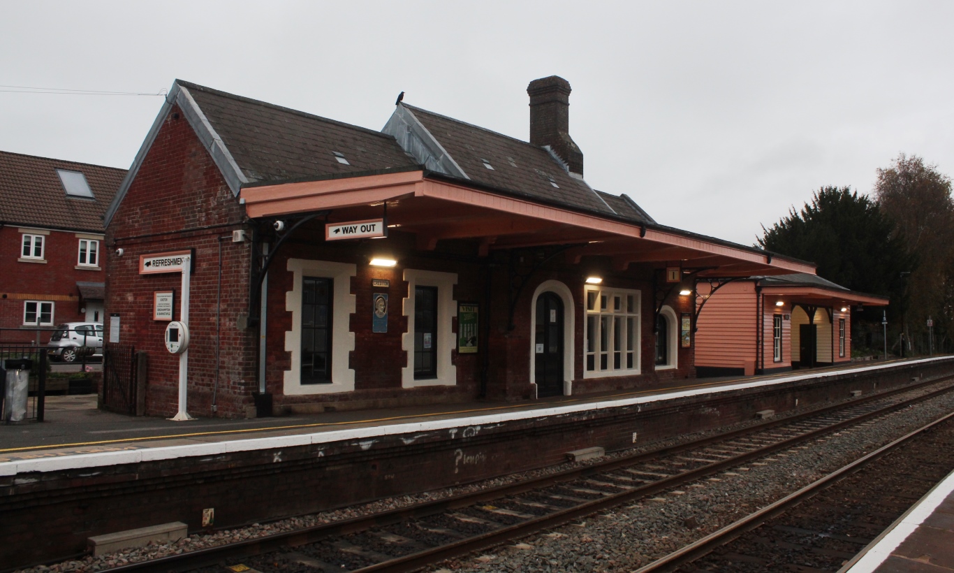
Crediton railway station
Crediton railway station is a railway station serving the town of Crediton in Devon, England. It is 7 miles 76 chains (12.8 km) from Exeter Central at...

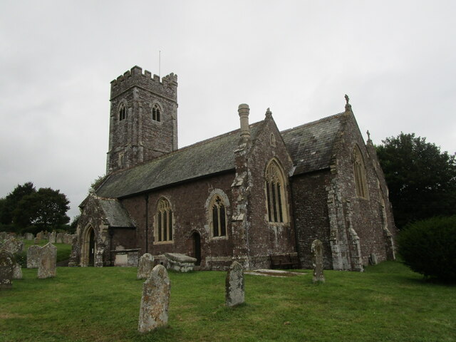
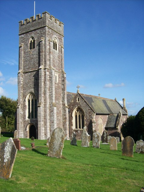
Crediton Parish Church
Crediton Parish Church, formally the Collegiate Church of the Holy Cross and the Mother of Him who Hung Thereon, is a prominent building and worshipping...
Crediton
Crediton is a town and civil parish in the Mid Devon district of Devon, England. It stands on the A377 Exeter to Barnstaple road at the junction with...
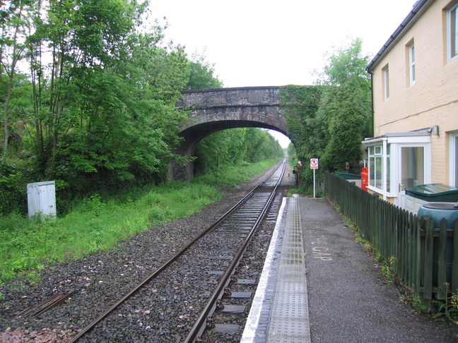
Newton St Cyres railway station
Newton St Cyres railway station is a railway station serving the village of Newton St Cyres, Devon, England. It is served by Great Western Railway trains...
Related Videos
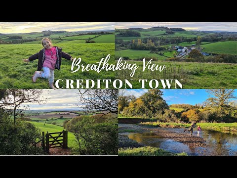
BREATHAKING VIEW in CREDITON TOWN Countryside ||PINAYsaUK
Crediton #EnglishCountryside #WalkWithNature #PINAYsaUK Crediton is a town and civil parish in the Mid Devon district of ...
Old School Moto Velo Custom Shop Devon
Union Road Moto Velo in Crediton Devon - The old school Custom cafe and bike shop where the cool bikers go! You can check ...

CHRISTMAS in CREDITON, DEVON UK 2021 ||PINAYsaUK #Vlog
Crediton #PINAYsaUK #FilipinoLivingInUK #Vlog #Devon #England #ChtismasInCrediton2021 This Year, we missed the Food ...

Modern detached family home for sale in Devon town, adjoining open fields
Crediton town outskirts family home for sale! This modern, 3 bedroom detached home is superbly located adjoining open fields, ...
Nearby Amenities
Located within 500m of 50.793208,-3.6206917Have you been to Ashgrove Copse?
Leave your review of Ashgrove Copse below (or comments, questions and feedback).