Bradley Wood
Wood, Forest in Somerset Somerset West and Taunton
England
Bradley Wood
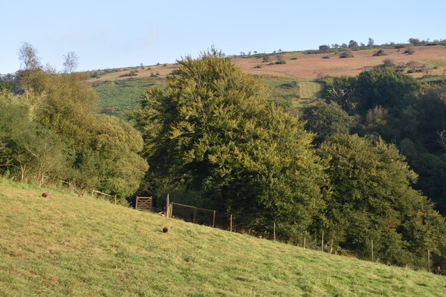
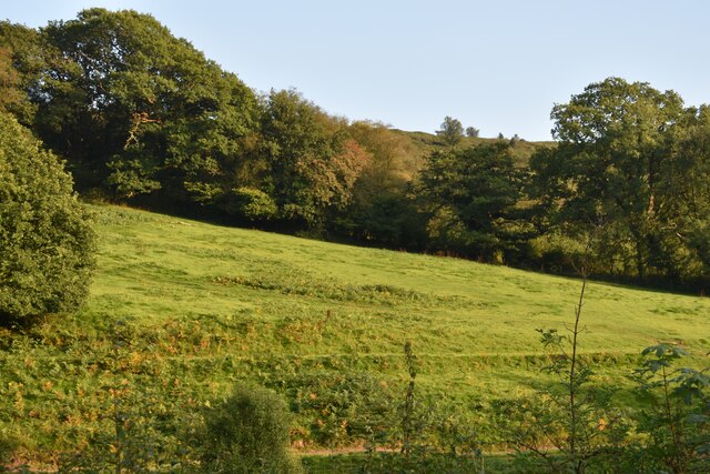
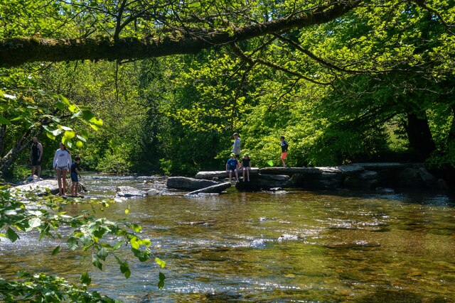
Bradley Wood, Somerset, is a picturesque woodland area located in the county of Somerset, England. It is renowned for its natural beauty, rich biodiversity, and tranquil atmosphere. Covering an area of approximately 200 acres, Bradley Wood is a true haven for nature enthusiasts and outdoor adventurers.
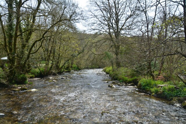
The woodland is predominantly composed of deciduous trees, including oak, beech, and ash, which create a stunning kaleidoscope of colors during the autumn season. The dense canopy provides ample shade and a cool respite during the summer months, making it an ideal spot for a leisurely stroll or a family picnic.
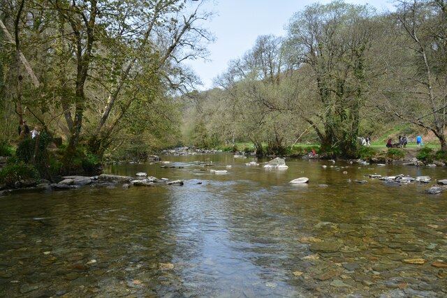
The forest floor is carpeted with a diverse array of flora, including bluebells, primroses, and wild garlic, which add to the enchanting ambiance of the wood. These vibrant flowers attract a variety of wildlife, and visitors may be lucky enough to spot deer, foxes, or badgers during their visit.
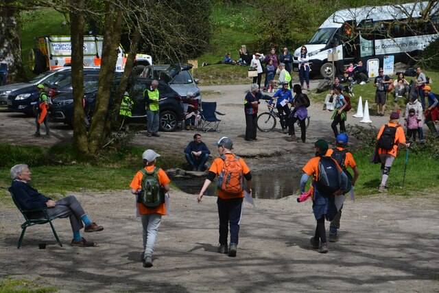
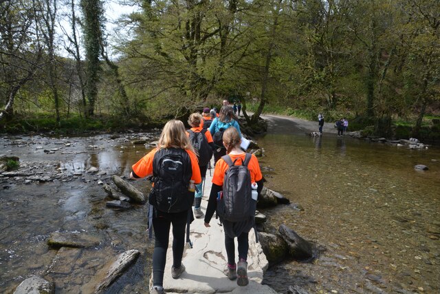
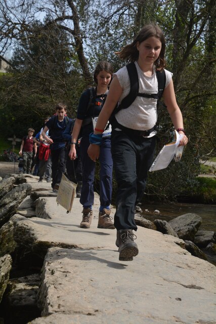
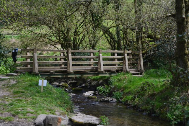
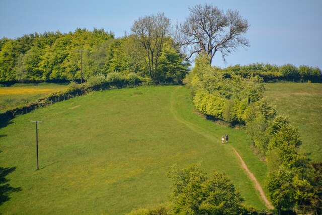
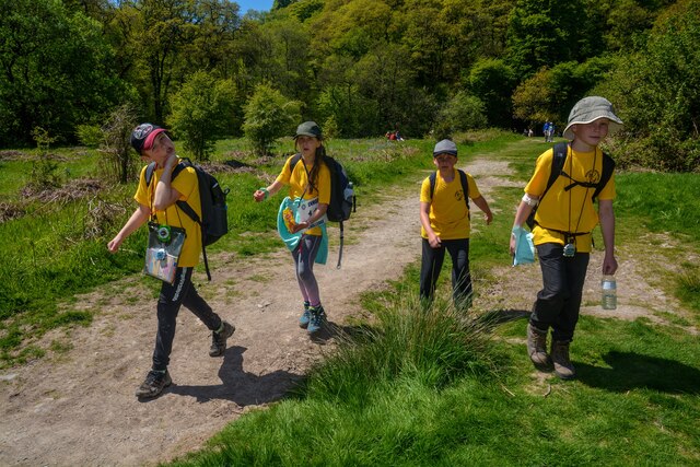
Bradley Wood is crisscrossed by a network of well-maintained footpaths and trails, making it a popular destination for hikers and nature enthusiasts. The trails offer a range of difficulty levels, catering to both casual walkers and experienced trekkers. Additionally, the wood is home to a number of bird species, making it a paradise for birdwatchers.
The wood is open to the public throughout the year and is managed by the local Somerset Wildlife Trust. Visitors are encouraged to respect the natural environment and follow any guidelines or regulations set by the trust to ensure the continued preservation of this stunning woodland retreat.
If you have any feedback on the listing, please let us know in the comments section below.
Bradley Wood Images
Images are sourced within 2km of 51.090769/-3.6318024 or Grid Reference SS8533. Thanks to Geograph Open Source API. All images are credited.


Bradley Wood is located at Grid Ref: SS8533 (Lat: 51.090769, Lng: -3.6318024)
Administrative County: Somerset
District: Somerset West and Taunton
Police Authority: Avon and Somerset
What 3 Words
///sprouted.spreading.fluid. Near Dulverton, Somerset
Nearby Locations
Related Wikis

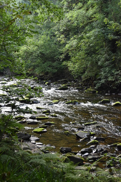
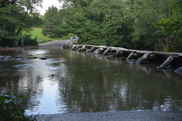
Tarr Steps
The Tarr Steps is a clapper bridge across the River Barle in the Exmoor National Park, Somerset, England. They are located in a national nature reserve...
Withypool Stone Circle
Withypool Stone Circle, also known as Withypool Hill Stone Circle, is a stone circle located on the Exmoor moorland, near the village of Withypool in the...

South Exmoor SSSI
South Exmoor (grid reference SS880340) is a 3132.7 hectare (7742.3 acre) biological Site of Special Scientific Interest in Devon and Somerset, England...

Withypool Bridge
The Withypool Bridge is an arch bridge that carries a small road over the River Barle at Withypool in Somerset, England. It is a Grade II* listed building...
Withypool
Withypool (formerly Widepolle, Widipol, Withypoole) is a small village and former civil parish, now in the parish of Withypool and Hawkridge, in the Somerset...
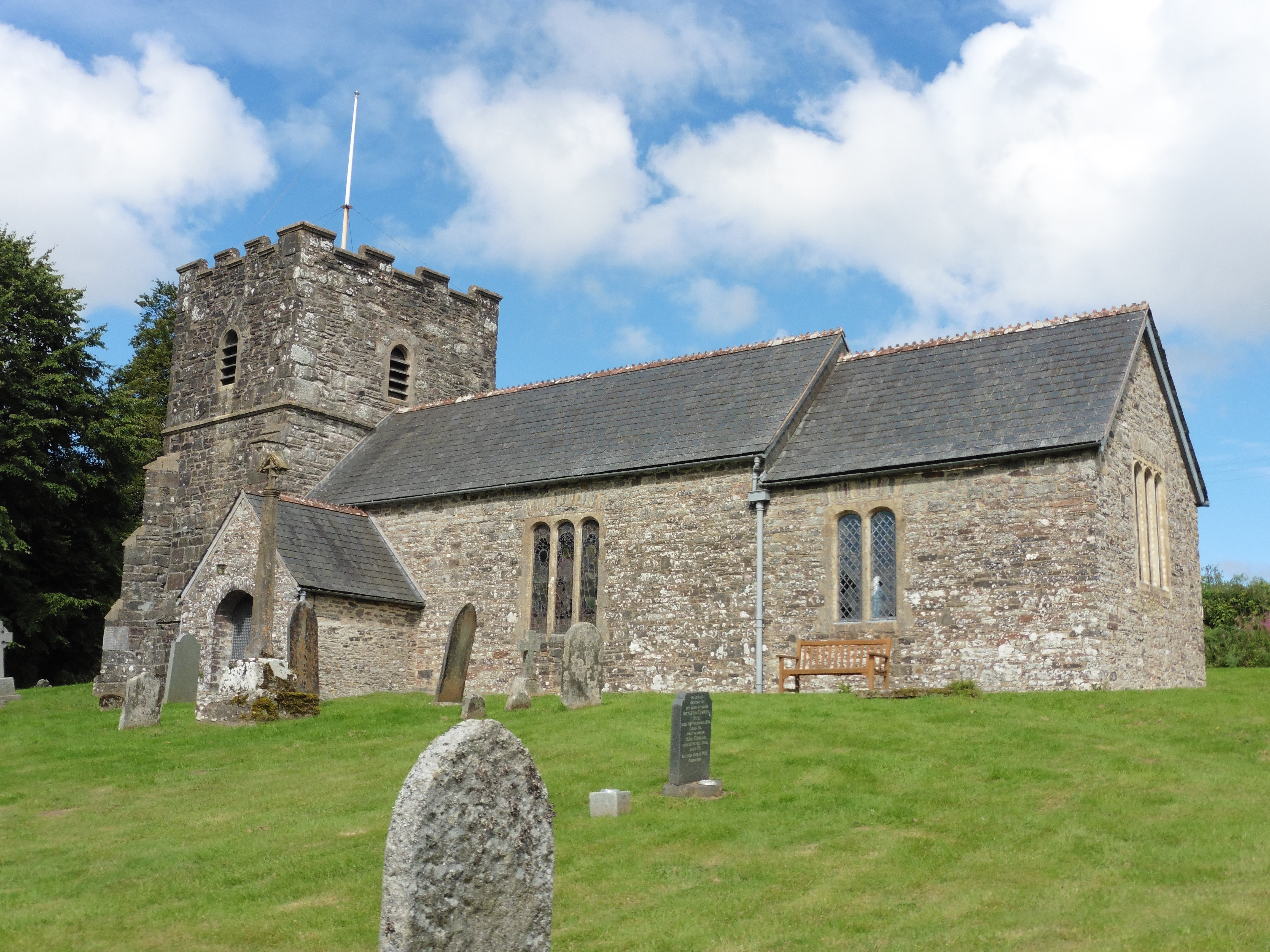
Church of St Andrew, Withypool
The Anglican Church of St Andrew in Withypool, Somerset, England was built in late medieval period. It is a Grade II* listed building. == History == The...

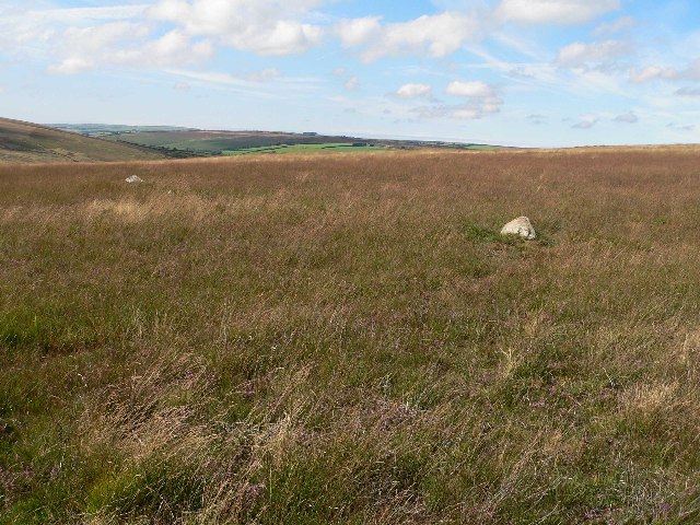
Exmoor
Exmoor is loosely defined as an area of hilly open moorland in west Somerset and north Devon in South West England. It is named after the River Exe, the...

Church of St Giles, Hawkridge
The Anglican Church of St Giles in Hawkridge, Somerset, England was built in the 14th century. It is a Grade II* listed building. == History == The oldest...
Nearby Amenities
Located within 500m of 51.090769,-3.6318024Have you been to Bradley Wood?
Leave your review of Bradley Wood below (or comments, questions and feedback).