Cil Cowen
Settlement in Montgomeryshire
Wales
Cil Cowen
The requested URL returned error: 429 Too Many Requests
If you have any feedback on the listing, please let us know in the comments section below.
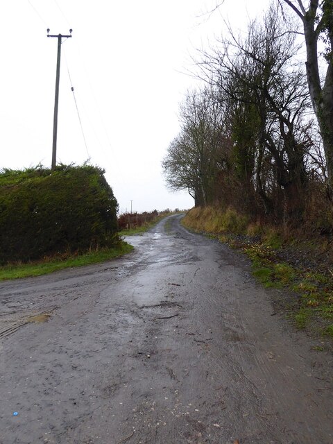
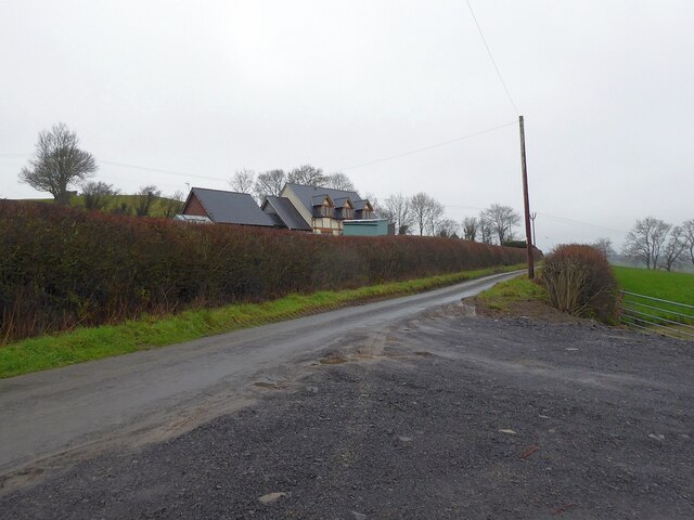
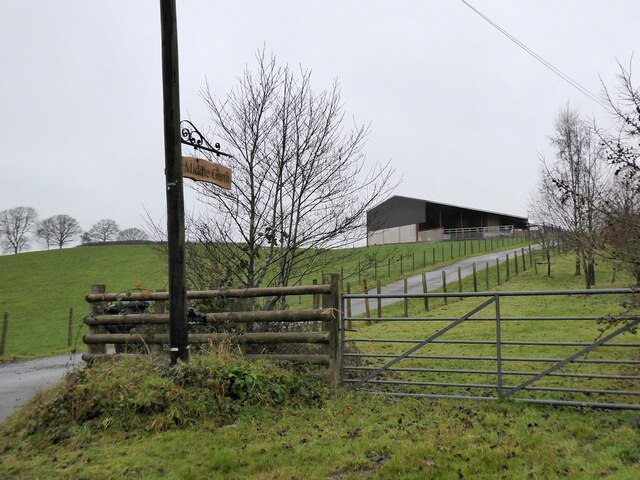
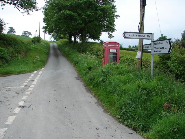
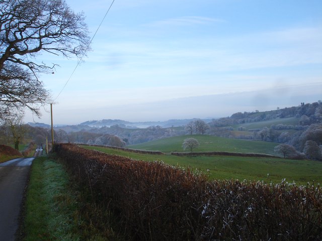
Cil Cowen Images
Images are sourced within 2km of 52.539748/-3.315934 or Grid Reference SO1094. Thanks to Geograph Open Source API. All images are credited.


Cil Cowen is located at Grid Ref: SO1094 (Lat: 52.539748, Lng: -3.315934)
Unitary Authority: Powys
Police Authority: Dyfed Powys
Also known as: Cilcowen
What 3 Words
///backers.splash.potential. Near Newtown, Powys
Nearby Locations
Related Wikis

Newtown West (Powys electoral ward)
Newtown West (formerly Newtown Llanllwchaiarn West or Llanllwchaiarn West) is the name of an electoral ward in the community of Newtown and Llanllwchaiarn...
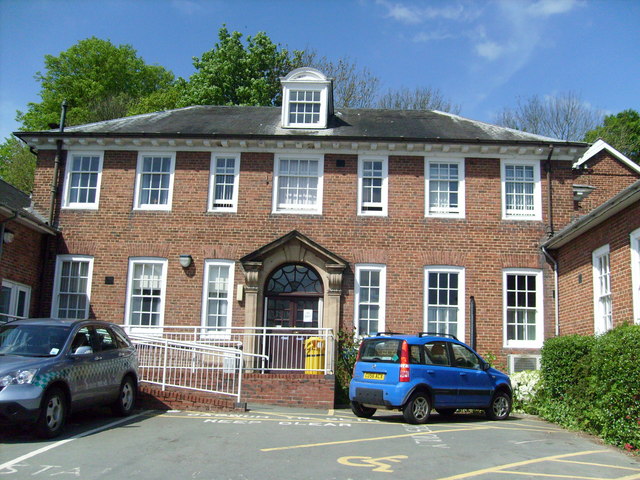
Montgomery County Infirmary
Montgomery County Infirmary (Welsh: Ysbyty Sir Drefaldwyn) is a health facility in Llanfair Road, Newtown, Powys, Wales. It is managed by the Powys Teaching...
Llanllwchaiarn
Llanllwchaiarn or Llanllwchaearn (Welsh: [ɬanɬuː′χaɨarn]) in Welsh) is a village on the outskirts of Newtown in Powys, Wales. It forms part of the community...

Newtown and Llanllwchaiarn
Newtown and Llanllwchaiarn (Welsh: Y Drenewydd a Llanllwchaearn) is a local government community in mid Powys, Wales. It includes the town of Newtown and...
Nearby Amenities
Located within 500m of 52.539748,-3.315934Have you been to Cil Cowen?
Leave your review of Cil Cowen below (or comments, questions and feedback).