Chwilog

Settlement in Caernarfonshire

Wales

Chwilog

Minor road near Llangybi
Minor road near Llangybi Credit: Robin Drayton

Chwilog is a small village located in the county of Caernarfonshire, Wales. Situated on the Llŷn Peninsula, it lies approximately 5 miles south of Pwllheli and 15 miles west of Caernarfon. Chwilog is nestled between the scenic Snowdonia National Park and the beautiful Cardigan Bay, offering its residents and visitors stunning views of the surrounding countryside and coastline.

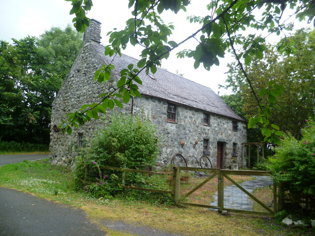
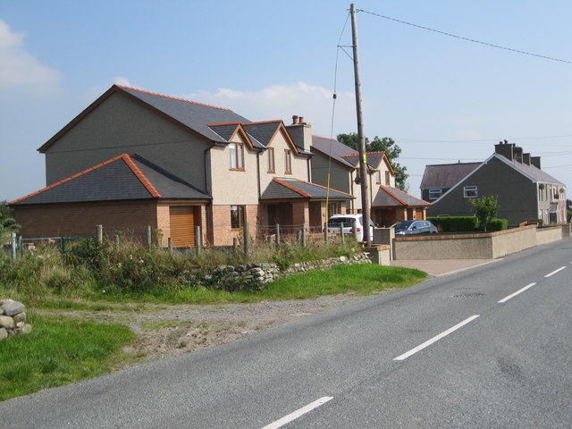
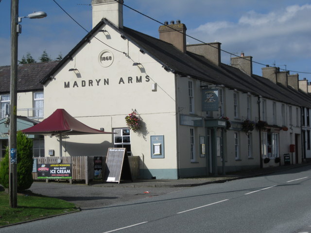
The village itself is home to a population of around 700 people. It features a mix of traditional stone houses and more modern buildings, reflecting its rich history and ongoing development. Chwilog has a warm and friendly community atmosphere, with a range of amenities to cater to its residents' needs. These include a primary school, a post office, a convenience store, and a community center.

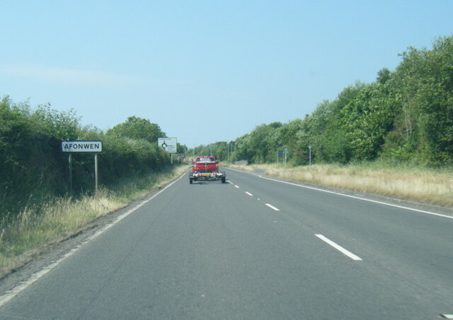
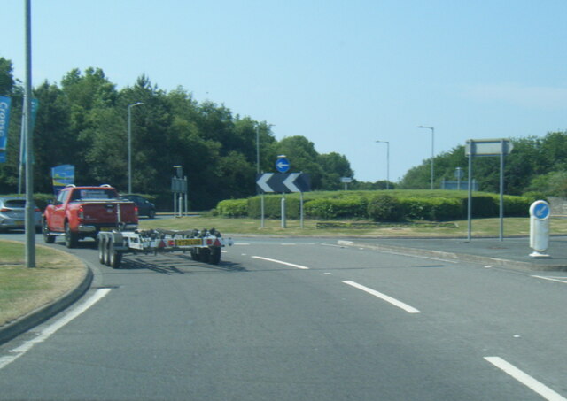
Chwilog is well-connected to the surrounding area by road, with the A497 passing through the village, providing easy access to nearby towns and attractions. The village is also served by a regular bus service, making it convenient for residents and visitors to explore the wider region.

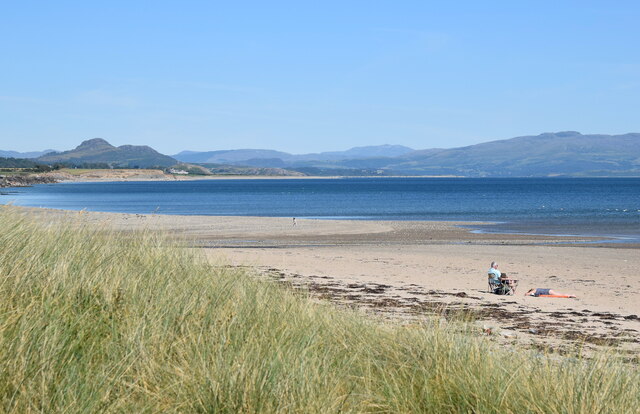
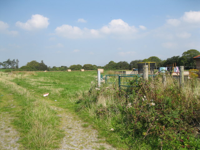
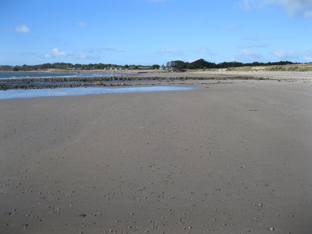
The area surrounding Chwilog offers a wealth of outdoor activities and attractions. Within a short distance, visitors can find sandy beaches, coastal walks, and opportunities for water sports such as sailing and kayaking. The nearby Snowdonia National Park provides ample opportunities for hiking, climbing, and exploring the stunning natural beauty of the Welsh countryside.

Overall, Chwilog is a charming village that offers a peaceful and picturesque setting, with a strong sense of community and easy access to both natural and cultural attractions.

If you have any feedback on the listing, please let us know in the comments section below.
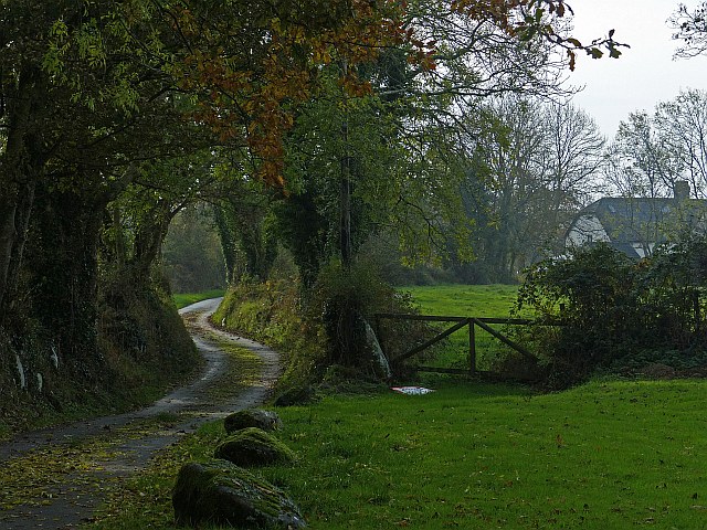
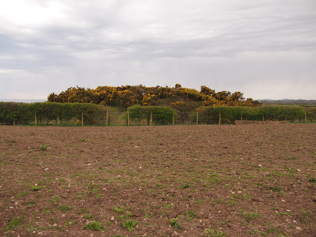
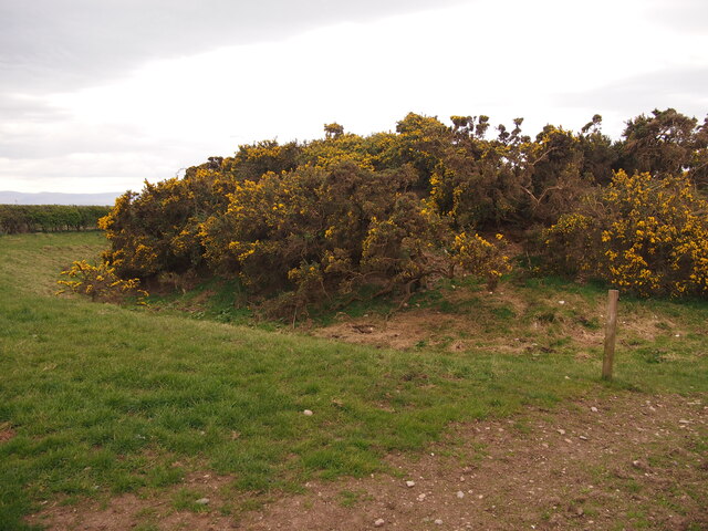
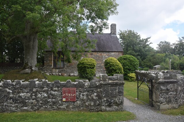
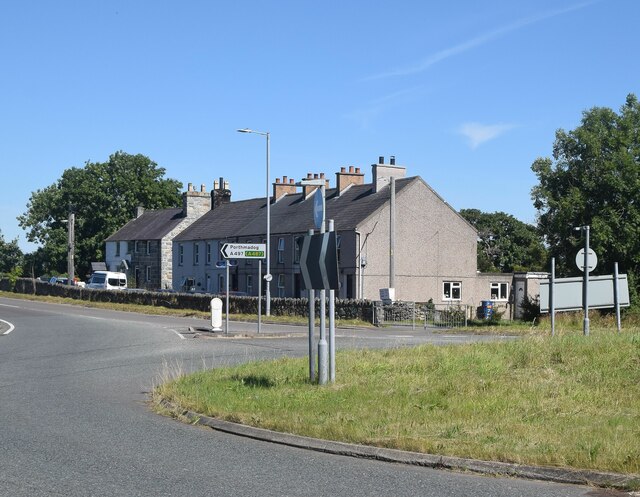
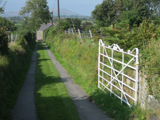
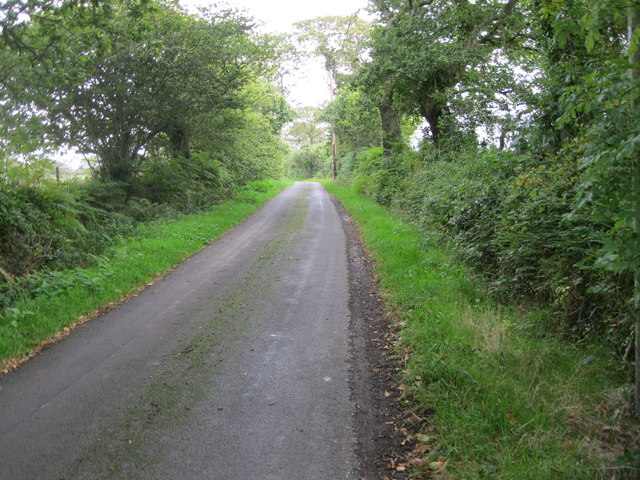
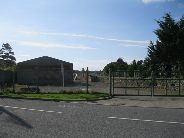
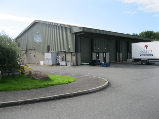
Chwilog Images

Images are sourced within 2km of 52.919742/-4.326448 or Grid Reference SH4338. Thanks to Geograph Open Source API. All images are credited.

Minor road near Llangybi
Tomen Fawr, Glanllynau Possibly a ring motte.
Tomen Fawr, Glanllynau
Possibly a ring motte.
Ditch and Bank, Tomen Fawr
Penarth Fawr former Stables On the bend of the minor road
Penarth Fawr former Stables
On the bend of the minor road
Penarth Fawr (another view) The medieval manor house is a scheduled monument under the care of Cadw (3172 <span class="nowrap"><a title="https://cadwpublic-api.azurewebsites.net/reports/sam/FullReport?lang=&id=3172" rel="nofollow ugc noopener" href="https://cadwpublic-api.azurewebsites.net/reports/sam/FullReport?lang=&id=3172">Link</a><img style="margin-left:2px;" alt="External link" title="External link - shift click to open in new window" src="https://s1.geograph.org.uk/img/external.png" width="10" height="10"/></span> ) and can be hired for weddings and other functions.
Penarth Fawr (another view)
The medieval manor house is a scheduled monument under the care of Cadw (3172 LinkExternal link ) and can be hired for weddings and other functions.
Cottages beside Afon Wen roundabout
Sunbathers, Afon Wen beach The beach has fine views of southern Snowdonia.
Sunbathers, Afon Wen beach
The beach has fine views of southern Snowdonia.
A497 at Afonwen village boundary
A497 at Hafan y Mor Holiday Park
Llwybr cyhoeddus i fferm Brynrhydd - Public footpath to Brynrhydd farm The second cut of hay has just been completed. Little sign of the path.
Llwybr cyhoeddus i fferm Brynrhydd - Public footpath to Brynrhydd farm
The second cut of hay has just been completed. Little sign of the path.
Dau dŷ newydd - Two new houses The newest houses in the village, on the very outskirts
Dau dŷ newydd - Two new houses
The newest houses in the village, on the very outskirts
Mynedfa i Barc Carafanau Wernol - Entrance to Wernol Caravan Park <span class="nowrap"><a title="http://www.wernol.co.uk/" rel="nofollow ugc noopener" href="http://www.wernol.co.uk/">Link</a><img style="margin-left:2px;" alt="External link" title="External link - shift click to open in new window" src="https://s1.geograph.org.uk/img/external.png" width="10" height="10"/></span>
Mynedfa i Barc Carafanau Wernol - Entrance to Wernol Caravan Park
Gwag y Noe
Gwag y Noe
Ffordd ger Penarth Fawr - Road near Penarth Fawr Part of the road which runs from the A 497 to Chwilog
Ffordd ger Penarth Fawr - Road near Penarth Fawr
Part of the road which runs from the A 497 to Chwilog
Hen safle Mona Tractors - Mona Tractors former site The tractor depot has moved to a brand new facility at Llanystumdwy Agri-Food Park.
See <a href="https://www.geograph.org.uk/photo/499312">SH4338 : "Mona Tractors" Chwilog</a>
Hen safle Mona Tractors - Mona Tractors former site
The tractor depot has moved to a brand new facility at Llanystumdwy Agri-Food Park. See SH4338 : "Mona Tractors" Chwilog
Tafarn Madryn ar ei newydd wedd - The new-look Madryn Arms The pub was fully refurbished a couple of years ago.
Tafarn Madryn ar ei newydd wedd - The new-look Madryn Arms
The pub was fully refurbished a couple of years ago.
Bwydlyn As the van shows, this is the butchery subsidiary of Harlech Frozen Foods. The building was formerly the home of Cadwalader's ice-cream before the firm moved in 2013 to Caermarthenshire. to
Bwydlyn
As the van shows, this is the butchery subsidiary of Harlech Frozen Foods. The building was formerly the home of Cadwalader's ice-cream before the firm moved in 2013 to Caermarthenshire. to
Traeth Afonwen - Afonwen beach Looking towards Hafan y Môr holiday park
Traeth Afonwen - Afonwen beach
Looking towards Hafan y Môr holiday park
Show me another place!

Chwilog is located at Grid Ref: SH4338 (Lat: 52.919742, Lng: -4.326448)

Unitary Authority: Gwynedd

Police Authority: North Wales

What 3 Words

///alone.thigh.strapping. Near Criccieth, Gwynedd

Nearby Locations

Chwilog

Related Wikis

Chwilog

Chwilog (Welsh pronunciation: [ˈχwiːlɔɡ]) is a village in Gwynedd, north Wales, and located on the Llŷn Peninsula. It is in the community of Llanystumdwy...

Chwilog railway station

Chwilog railway station served the village of Chwilog, Gwynedd, Wales. It was opened in 1867 by the Carnarvonshire Railway, who were subsequently taken...

Butlin's Pwllheli

Butlin's Pwllheli (latterly Starcoast World then Hafan Y Môr after Haven Holidays took the site) was a holiday camp located near Pwllheli in Wales. The...

Lôn Goed

Lôn Goed (Welsh for 'Tree Lane'), also known as Y Lôn Goed, is a rural lane in Eifionydd, Gwynedd, Wales. The lane is lined with trees, mainly oak and...

Nearby Amenities

Located within 500m of 52.919742,-4.326448
Chwilog
Is In: Gwynedd,Wales,UK
Name Cy: Chwilog
Name En: Chwilog
Place: village
Wikidata: Q3405649
Lat/Long: 52.9194526/-4.3296818
Pub
Tafarn Madryn
Name Cy: Tafarn Madryn
Lat/Long: 52.9198925/-4.3319649
Chwilog
Historic Railway: station
Railway: site
Lat/Long: 52.9203138/-4.3313123
Traffic Calming: yes
Lat/Long: 52.9166524/-4.3300462
Traffic Calming: yes
Lat/Long: 52.9163376/-4.331093
Turning Circle
Lat/Long: 52.9155448/-4.3290394
Traffic Calming: yes
Lat/Long: 52.9165392/-4.3307544
Traffic Calming: yes
Lat/Long: 52.9163082/-4.32946
Power: substation
Lat/Long: 52.9192537/-4.329448
Direction: SSE
Generator Method: photovoltaic
Generator Output Electricity: yes
Generator Solar Modules: 5
Generator Source: solar
Generator Type: solar_photovoltaic_panel
Location: roof
Power: generator
Lat/Long: 52.9206127/-4.329941
Direction: SSE
Generator Method: photovoltaic
Generator Output Electricity: yes
Generator Solar Modules: 11
Generator Source: solar
Generator Type: solar_photovoltaic_panel
Location: roof
Power: generator
Lat/Long: 52.920645/-4.3298002
The data included in this document is from www.openstreetmap.org. The data is made available under ODbL.

Have you been to Chwilog?

Leave your review of Chwilog below (or comments, questions and feedback).