South Downs Wood
Wood, Forest in Devon South Hams
England
South Downs Wood
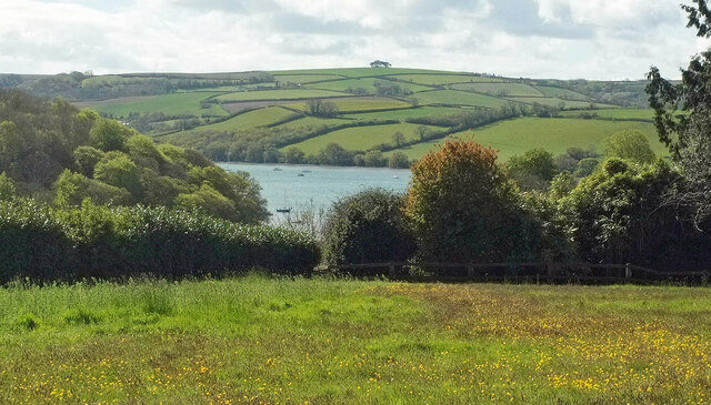
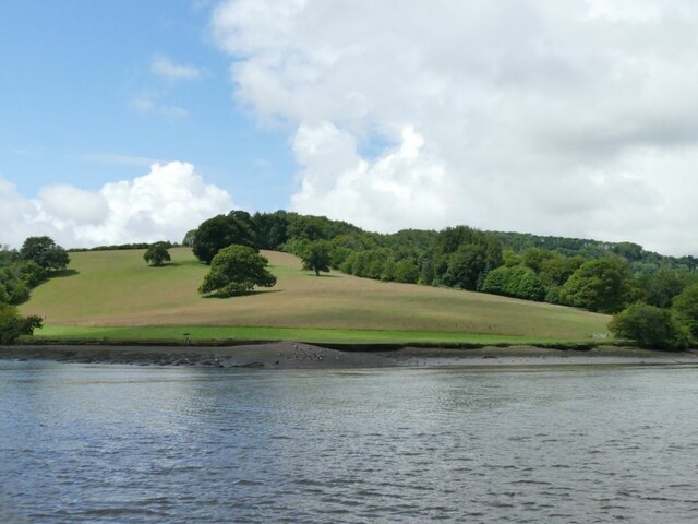
South Downs Wood is a picturesque forest nestled in the charming county of Devon, England. Stretching across an area of approximately 100 acres, this woodland is a haven for nature enthusiasts and a cherished local treasure. Located in the South Downs National Park, it offers a diverse range of flora and fauna, making it an ideal destination for anyone seeking tranquility and natural beauty.
The woods are characterized by a dense canopy of trees, including oak, beech, and ash, which create a shady and cool atmosphere during the summer months. The forest floor is carpeted with vibrant wildflowers, adding a splash of color to the surroundings. Visitors can explore the well-maintained trails that wind through the woods, providing an opportunity to immerse themselves in the peaceful ambiance while enjoying a leisurely stroll or a more vigorous hike.
South Downs Wood is also home to a variety of wildlife, with numerous species of birds, mammals, and insects inhabiting the area. Birdwatchers will delight in the chance to spot woodpeckers, owls, and other feathered inhabitants, while lucky visitors may catch a glimpse of elusive deer or foxes.
In addition to its natural wonders, South Downs Wood offers fantastic recreational opportunities. The forest is equipped with picnic areas, making it an ideal spot for families and friends to gather for a relaxing outdoor meal. There are also designated camping areas for those looking to spend a night under the stars, surrounded by the tranquil sounds of nature.
Overall, South Downs Wood is a captivating destination that showcases the beauty of Devon's natural landscapes. Its serene atmosphere, abundant wildlife, and recreational amenities make it a must-visit location for nature lovers and those seeking an escape from the hustle and bustle of everyday life.
If you have any feedback on the listing, please let us know in the comments section below.
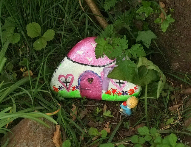
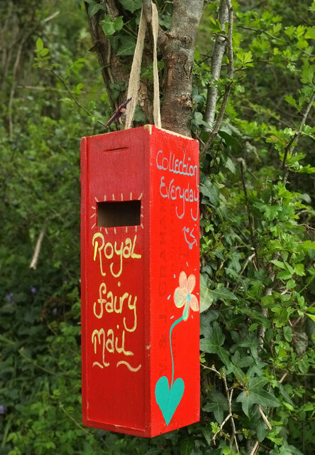
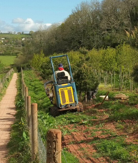
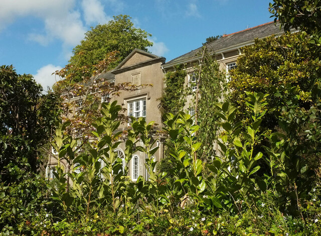
South Downs Wood Images
Images are sourced within 2km of 50.39784/-3.6169737 or Grid Reference SX8556. Thanks to Geograph Open Source API. All images are credited.


South Downs Wood is located at Grid Ref: SX8556 (Lat: 50.39784, Lng: -3.6169737)
Administrative County: Devon
District: South Hams
Police Authority: Devon and Cornwall
What 3 Words
///warrior.silver.smuggled. Near Stoke Gabriel, Devon
Nearby Locations
Related Wikis
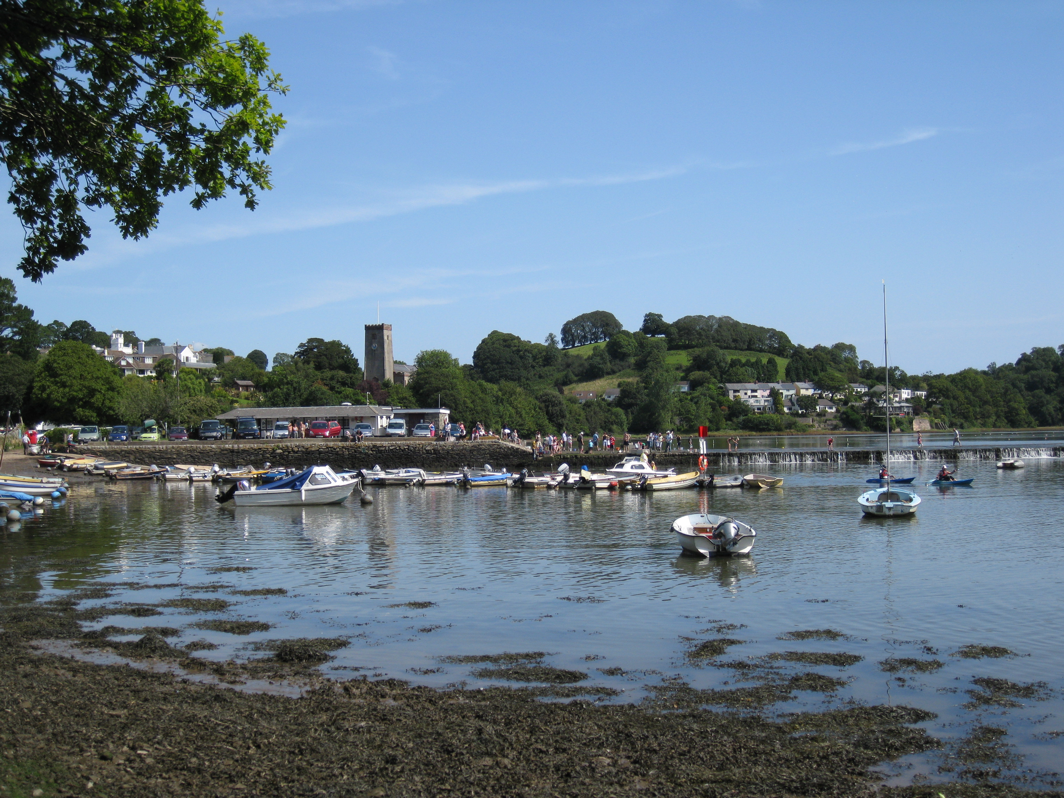
Stoke Gabriel
Stoke Gabriel is a village and parish in Devon, England, situated on a creek of the River Dart. The village is a popular tourist destination in the South...

Sandridge Park
Sandridge Park, near Stoke Gabriel, Devon, is an English country house in the Italianate style, designed by John Nash around 1805 for the Dowager Lady...

Dittisham
Dittisham is a village and civil parish in the South Hams district of the English county of Devon. It is situated on the west bank of the tidal River...

Stoke Gabriel & Torbay Police F.C.
Stoke Gabriel & Torbay Police Football Club is a football club based in Stoke Gabriel, Devon, established in the early 1900s as Stoke Gabriel AFC. In June...
Nearby Amenities
Located within 500m of 50.39784,-3.6169737Have you been to South Downs Wood?
Leave your review of South Downs Wood below (or comments, questions and feedback).