Alderbed Copse

Wood, Forest in Devon Teignbridge

England

Alderbed Copse

St. Catherine's church, Whitestone Largely dates from the fourteenth century <span class="nowrap"><a title="https://historicengland.org.uk/listing/the-list/list-entry/1216459" rel="nofollow ugc noopener" href="https://historicengland.org.uk/listing/the-list/list-entry/1216459">Link</a><img style="margin-left:2px;" alt="External link" title="External link - shift click to open in new window" src="https://s1.geograph.org.uk/img/external.png" width="10" height="10"/></span>
St. Catherine's church, Whitestone Credit: Jonathan Thacker

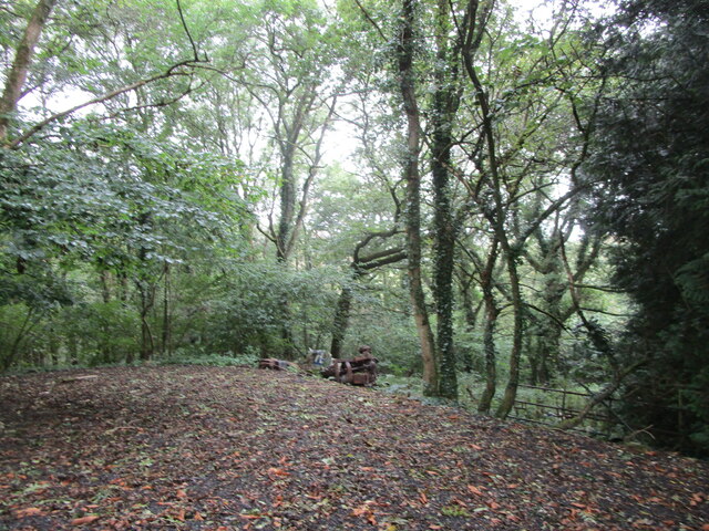
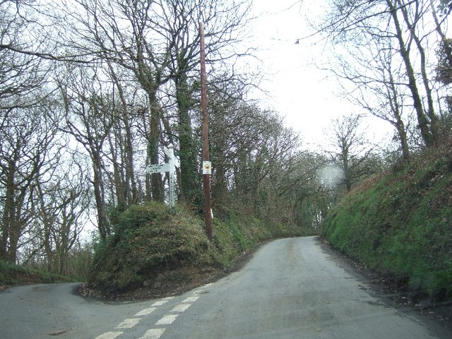
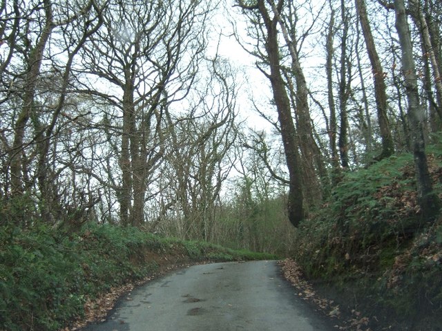
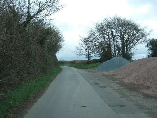
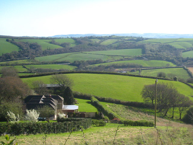
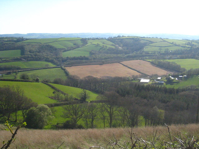
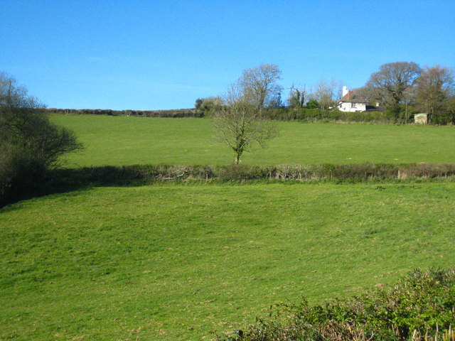
Alderbed Copse is a picturesque woodland located in the county of Devon, England. Situated in the southern part of the county, it covers an area of approximately 20 acres. The copse is characterized by its dense population of alder trees, which give it its name.

The woodland is home to a diverse range of flora and fauna, making it a popular destination for nature enthusiasts and wildlife lovers. The alder trees provide a habitat for various bird species, including woodpeckers and warblers, and the forest floor is adorned with a carpet of bluebells during the spring months.

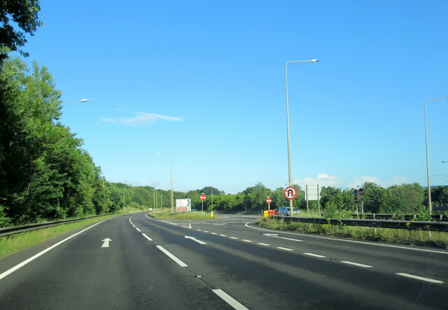
Alderbed Copse offers visitors a tranquil and serene environment, ideal for relaxation and contemplation. The peacefulness of the woodland is enhanced by the absence of any major roads or urban developments nearby, allowing visitors to escape from the hustle and bustle of modern life.

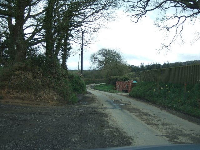
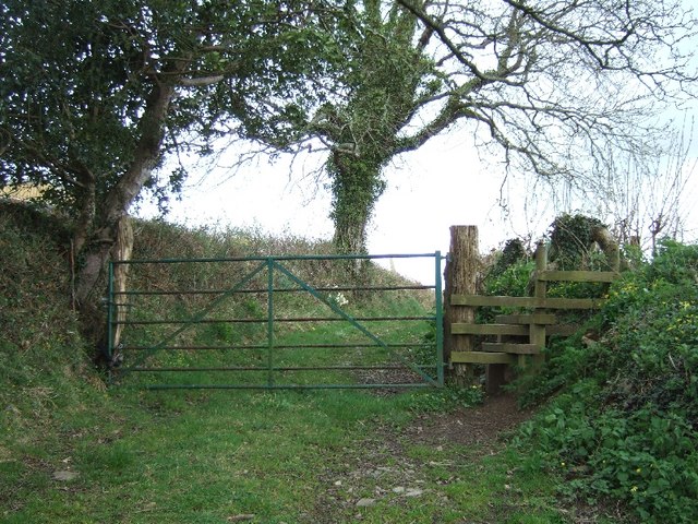
Walking trails meander through the copse, providing an opportunity to explore its natural beauty. The paths are well-maintained and clearly marked, making it easy for visitors to navigate through the woodland. Along the way, interpretive signs provide information about the local flora and fauna, enriching the educational experience.

The copse is accessible year-round, with each season offering its own unique charm. In the summer, the leafy canopy provides shade and shelter, while autumn brings a burst of vibrant colors as the leaves change. In winter, the bare branches create an ethereal atmosphere, and spring heralds the arrival of new life as the woodland awakens from its slumber.

A visit to Alderbed Copse promises a memorable and immersive experience in the heart of Devon's natural beauty.

If you have any feedback on the listing, please let us know in the comments section below.

Alderbed Copse Images

Images are sourced within 2km of 50.732769/-3.6300543 or Grid Reference SX8593. Thanks to Geograph Open Source API. All images are credited.

St. Catherine's church, Whitestone Largely dates from the fourteenth century <span class="nowrap"><a title="https://historicengland.org.uk/listing/the-list/list-entry/1216459" rel="nofollow ugc noopener" href="https://historicengland.org.uk/listing/the-list/list-entry/1216459">Link</a><img style="margin-left:2px;" alt="External link" title="External link - shift click to open in new window" src="https://s1.geograph.org.uk/img/external.png" width="10" height="10"/></span>
St. Catherine's church, Whitestone
Largely dates from the fourteenth century LinkExternal link
Great Copse, Pound Down
Fields near Cuddeford Corner
The A30 west at exit for Pathfinder Village
The signpost at Hangman's Corner or Cuddeford Corner The sign has a crisis of identity, and I feel submitting it on April 1st may be misunderstood, but there are other pictures of the same upright already
The signpost at Hangman's Corner or Cuddeford Corner
The sign has a crisis of identity, and I feel submitting it on April 1st may be misunderstood, but there are other pictures of the same upright already
Road passing Greenfields at Bowlish
Footpath at Bowlish
Footpath at Bowlish
Twiscombe Corner
Twiscombe Corner
Road in Great Copse
Road in Great Copse
Layby near Pound Down Corner The layby was in use as a place for storing gravel
Layby near Pound Down Corner
The layby was in use as a place for storing gravel
Waddles Down Cross and transmitter tower
Whitestone transmitter tower
Hedge and road near Whitestone transmitter tower
Graveyard at Whitestone church This area is an extension to the churchyard which surrounds the church
Graveyard at Whitestone church
This area is an extension to the churchyard which surrounds the church
The village of Whitestone A small village to the east of Exeter.
The village of Whitestone
A small village to the east of Exeter.
View across the Alphin Brook valley west of Whitestone In the centre left of the photo is a glimpse of the A30, with an accommodation bridge at Higher Winter Cleave visible just above the centre right.
View across the Alphin Brook valley west of Whitestone
In the centre left of the photo is a glimpse of the A30, with an accommodation bridge at Higher Winter Cleave visible just above the centre right.
The upper valley of the Alphin Brook The farm on the right is Lower Hare Farm and the wooded valley at upper left is Higher Winter Cleave in square <a href="https://www.geograph.org.uk/gridref/SX8592">SX8592</a>.
The upper valley of the Alphin Brook
The farm on the right is Lower Hare Farm and the wooded valley at upper left is Higher Winter Cleave in square SX8592.
Fields in Heath Lane The house is Heath Cross Cottage.
Fields in Heath Lane
The house is Heath Cross Cottage.
Show me another place!

Alderbed Copse is located at Grid Ref: SX8593 (Lat: 50.732769, Lng: -3.6300543)

Administrative County: Devon

District: Teignbridge

Police Authority: Devon and Cornwall

What 3 Words

///budding.rebel.torn. Near Crediton, Devon

Related Wikis

Holcombe Burnell

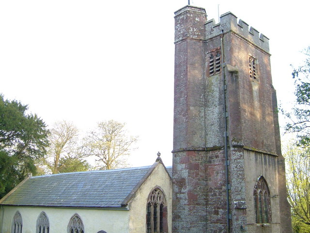
Holcombe Burnell is a civil parish in the Teignbridge district, in Devon, England, the church of which is about 4 miles west of Exeter City centre. There...

Whitestone, Devon

Whitestone () is a small village in Devon, England, approximately 4 miles west of Exeter. It is in the parish of Whitestone; one of the 45 parish and town...

Longdown railway station

Longdown was a railway station serving Longdown, a small village in Devon, England located on the Teign Valley Line between the towns of Newton Abbot and...

Tedburn St Mary

Tedburn St Mary is a village and civil parish in the Teignbridge district of Devon, England, approximately 8 miles west of Exeter. It has a population...

Longdown

Longdown is a small village in the parish of Holcombe Burnell, south of the A30 road, about four miles west of Exeter in Devon, England. It has a public...

Cotley Castle

Cotley Castle is a large Iron Age Hill fort near Dunchideock in Devon and close to Exeter in England. It occupies a significant hilltop at 220 metres...

Dunsford Halt railway station

Dunsford Halt was a railway station serving Dunsford, a small village in Devon, England, on the Teign Valley Line between the towns of Newton Abbot and...

Newton St Cyres

Newton St Cyres (, like "sires") is a village, civil parish former manor and former ecclesiastical parish in Mid Devon, in the English county of Devon...

Nearby Amenities

Located within 500m of 50.732769,-3.6300543
Generator Method: photovoltaic
Generator Output Electricity: yes
Generator Source: solar
Generator Type: solar_photovoltaic_panel
Location: roof
Power: generator
Lat/Long: 50.7335872/-3.6358352
Generator Method: photovoltaic
Generator Output Electricity: yes
Generator Source: solar
Generator Type: solar_photovoltaic_panel
Location: roof
Power: generator
Lat/Long: 50.7370679/-3.6286037
The data included in this document is from www.openstreetmap.org. The data is made available under ODbL.

Have you been to Alderbed Copse?

Leave your review of Alderbed Copse below (or comments, questions and feedback).