Alderpark Copse
Wood, Forest in Devon Teignbridge
England
Alderpark Copse
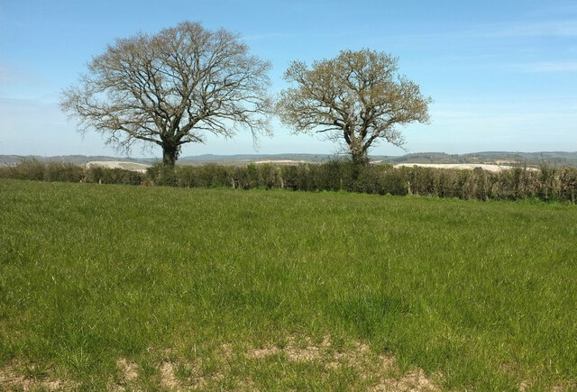
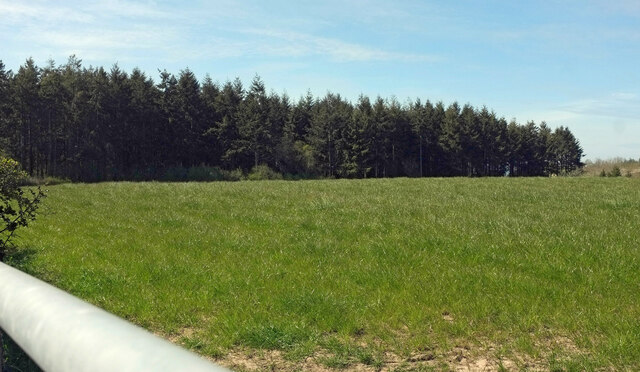
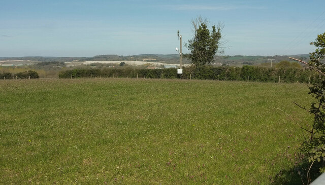
Alderpark Copse is a picturesque woodland located in Devon, England. Covering an area of approximately 50 acres, it is a stunning example of a mixed deciduous forest. The copse is predominantly composed of alder trees, which give it its name, but also features a variety of other tree species such as oak, beech, and ash.
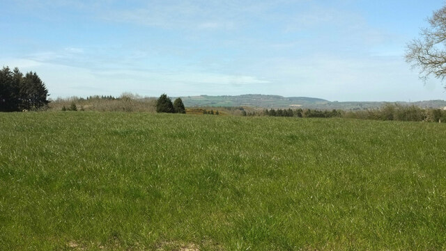
The forest is a haven for nature enthusiasts and offers a tranquil escape from the hustle and bustle of everyday life. Walking through the copse, visitors can enjoy the beauty of the dappled sunlight filtering through the canopy, casting a magical glow on the forest floor. The woodland is home to a rich diversity of wildlife, including numerous bird species, small mammals, and insects.
Alderpark Copse is also significant from an ecological standpoint. The dense vegetation provides a vital habitat for a wide range of plant and animal species, contributing to the overall biodiversity of the area. The forest floor is adorned with a carpet of bluebells during the spring, creating a breathtaking sight and attracting nature enthusiasts and photographers alike.
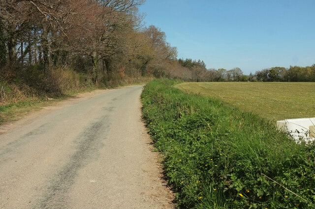
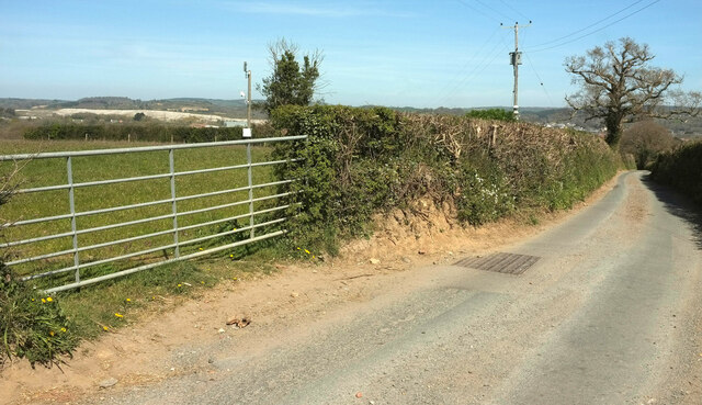
The copse is easily accessible, with well-maintained footpaths crisscrossing through the forest. These paths provide visitors with the opportunity to explore the woodland and take in its natural beauty at their own pace. Additionally, there are several picnic areas and benches scattered throughout the copse, allowing visitors to relax and immerse themselves in the peaceful surroundings.
A visit to Alderpark Copse is a must for anyone seeking a serene and idyllic woodland experience in the heart of Devon.
If you have any feedback on the listing, please let us know in the comments section below.
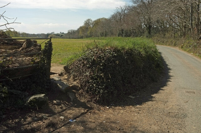
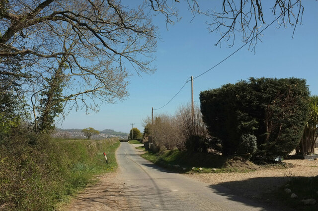
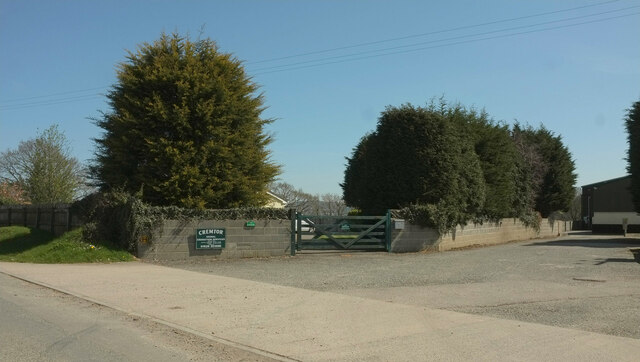
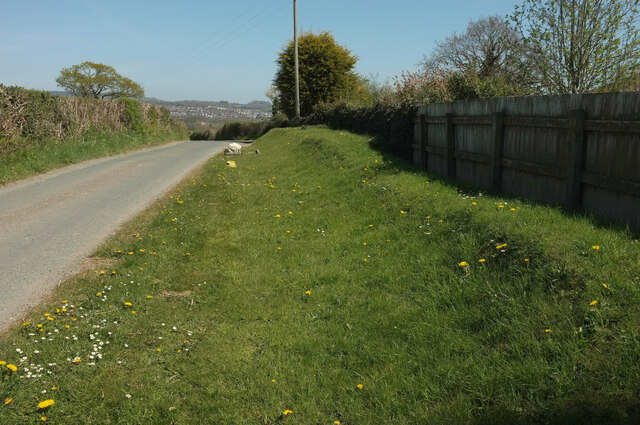
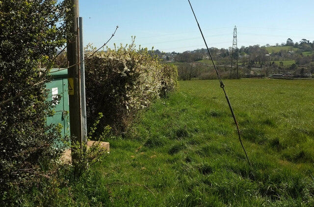
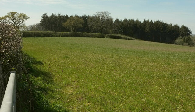
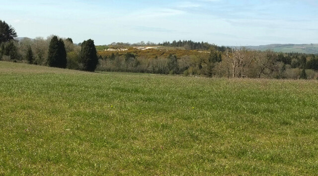
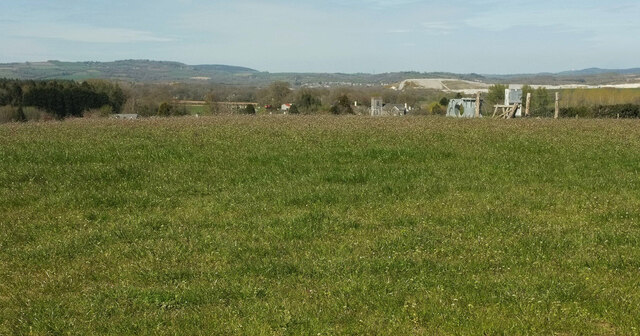
Alderpark Copse Images
Images are sourced within 2km of 50.561517/-3.633103 or Grid Reference SX8474. Thanks to Geograph Open Source API. All images are credited.

Alderpark Copse is located at Grid Ref: SX8474 (Lat: 50.561517, Lng: -3.633103)
Administrative County: Devon
District: Teignbridge
Police Authority: Devon and Cornwall
What 3 Words
///perform.chapters.reporters. Near Chudleigh Knighton, Devon
Nearby Locations
Related Wikis

Ventiford Brook
Ventiford Brook is a stream located in Devon, England. It was used as one of the water courses that filled the Stover Canal, when it was in use, along...
Teigngrace Halt railway station
Teigngrace Halt was a railway station opened as Teigngrace in 1867 by the Moretonhampstead and South Devon Railway. == History == The station was renamed...

Teigngrace
Teigngrace is a civil parish centred on a hamlet that lies about two miles north of the town of Newton Abbot in Devon, England. According to the 2001 census...

Stover, Teigngrace
Stover is a historic estate in the parish of Teigngrace, about half way between the towns of Newton Abbot and Bovey Tracey in South Devon, England. It...
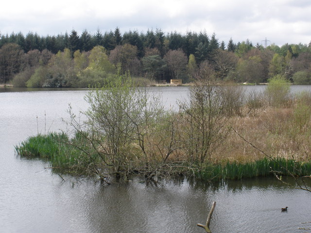
Stover Country Park
Stover Country Park is an area of woodland park 2 miles (3 km) north of Newton Abbot in the parish of Teigngrace, Devon, within the former grounds of...
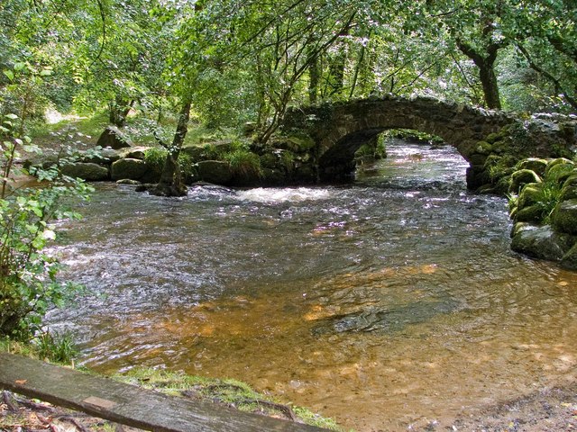
River Bovey
The River Bovey rises on the eastern side of Dartmoor in Devon, England, and is the largest tributary to the River Teign. The river has two main source...

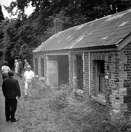
Ilford Park Polish Home
Ilford Park Polish Home is a residential and nursing care home in Stover, Devon, in England run by the Ministry of Defence. The site was one of 45 resettlement...
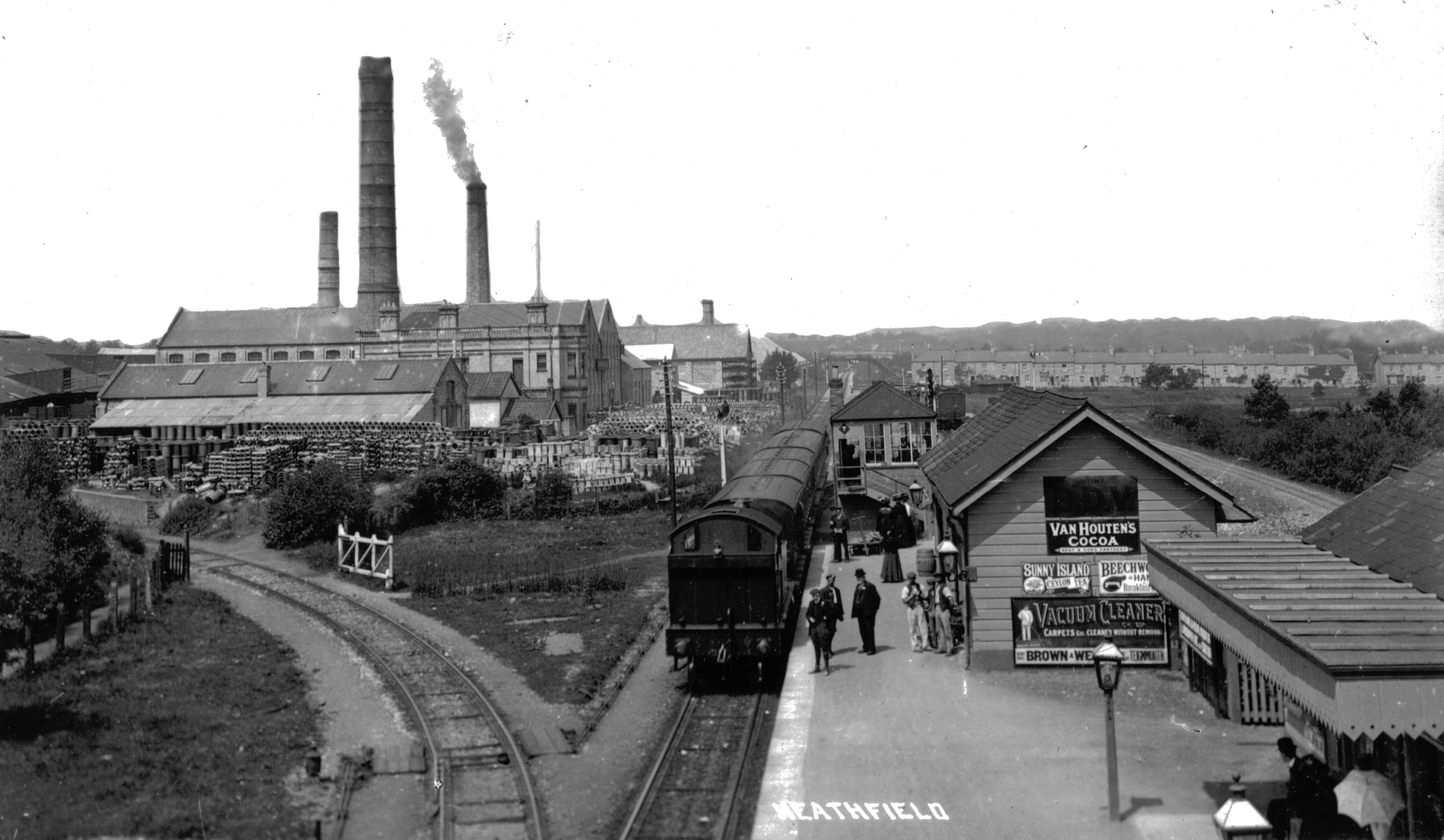
Heathfield railway station (Devon)
Heathfield railway station, originally Chudleigh Road railway station before the Teign Valley Line opened, was on the Moretonhampstead and South Devon...
Nearby Amenities
Located within 500m of 50.561517,-3.633103Have you been to Alderpark Copse?
Leave your review of Alderpark Copse below (or comments, questions and feedback).