Buckworthy Plantation
Wood, Forest in Somerset Somerset West and Taunton
England
Buckworthy Plantation

Buckworthy Plantation, located in Somerset, is a picturesque woodland area renowned for its natural beauty and rich history. Spanning over several acres, this plantation is nestled in the heart of the county, offering visitors a serene and tranquil escape from the hustle and bustle of everyday life.
The plantation's dense woodlands are predominantly composed of towering oak and beech trees, creating a lush and verdant environment. The diverse flora and fauna found within the plantation make it a haven for nature enthusiasts and wildlife observers alike. Visitors can expect to encounter an array of species, including deer, squirrels, and a variety of bird species.
Steeped in history, Buckworthy Plantation has been in existence for centuries. Originally used as a hunting ground for the nobility, the plantation still retains remnants of its past, such as old hunting lodges and ancient pathways. These historical features add a sense of charm and intrigue to the area, providing visitors with a glimpse into its storied past.
In addition to its natural and historical significance, Buckworthy Plantation offers a range of recreational activities for visitors to enjoy. The well-maintained walking and cycling trails allow individuals to explore the plantation at their own pace, immersing themselves in the beauty of the surroundings. It is also a popular spot for picnics and family outings, with designated areas providing ample space for relaxation and enjoyment.
Overall, Buckworthy Plantation is a gem within Somerset, offering a harmonious blend of natural splendor and historical intrigue. Whether one seeks solitude in nature, a glimpse into the past, or simply a day of outdoor recreation, this plantation is sure to provide an unforgettable experience.
If you have any feedback on the listing, please let us know in the comments section below.
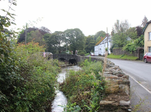
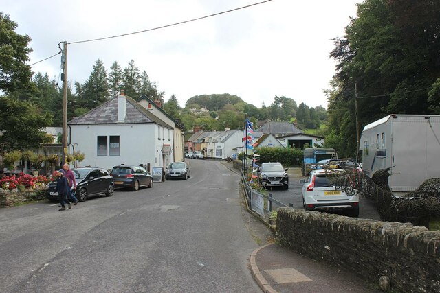
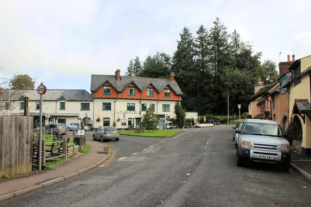
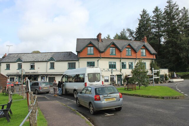
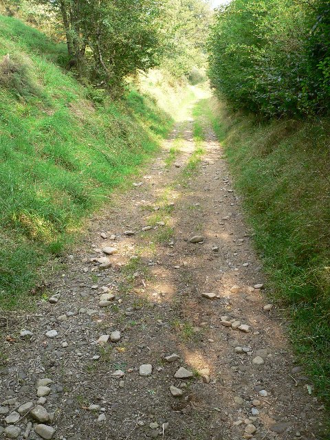
Buckworthy Plantation Images
Images are sourced within 2km of 51.121883/-3.6549618 or Grid Reference SS8437. Thanks to Geograph Open Source API. All images are credited.


Buckworthy Plantation is located at Grid Ref: SS8437 (Lat: 51.121883, Lng: -3.6549618)
Administrative County: Somerset
District: Somerset West and Taunton
Police Authority: Avon and Somerset
What 3 Words
///garden.headrest.hiking. Near Porlock, Somerset
Nearby Locations
Related Wikis
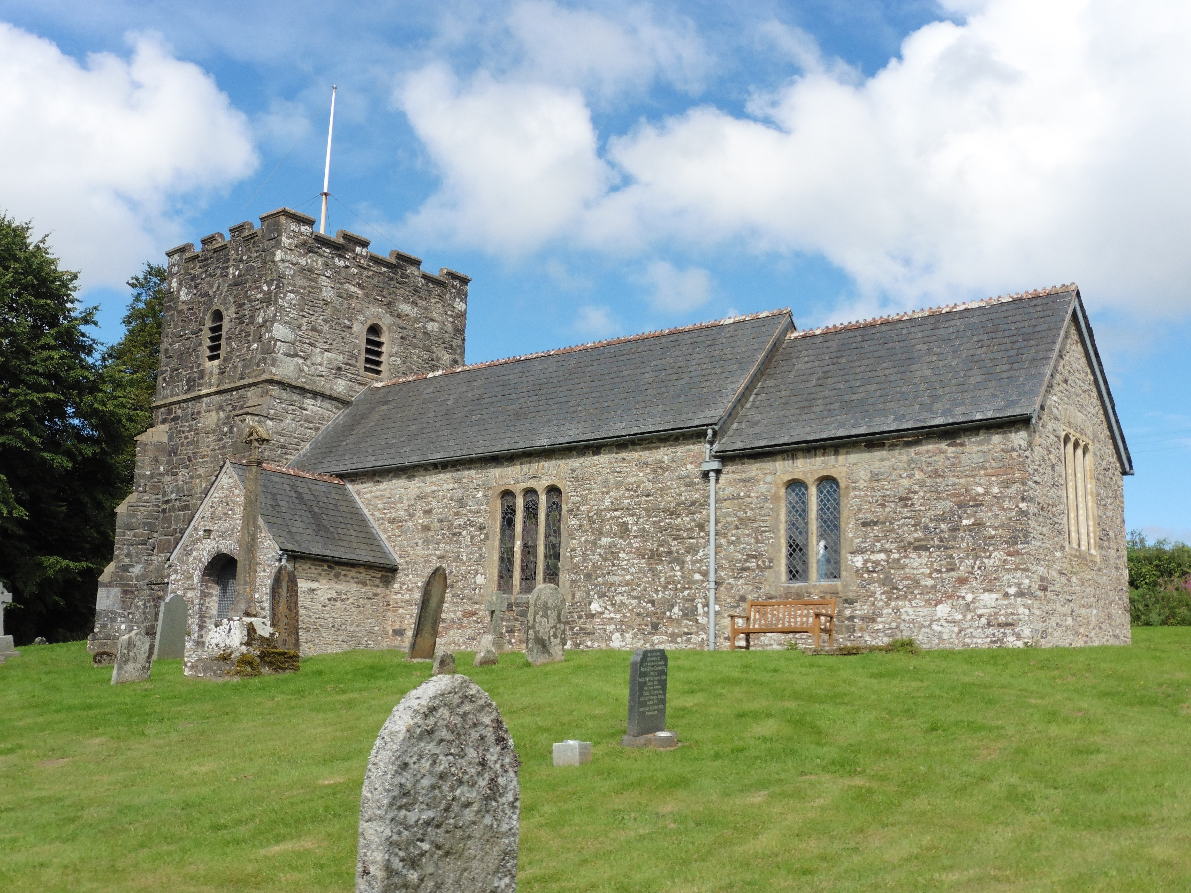
Church of St Andrew, Withypool
The Anglican Church of St Andrew in Withypool, Somerset, England was built in late medieval period. It is a Grade II* listed building. == History == The...

Withypool
Withypool (formerly Widepolle, Widipol, Withypoole) is a small village and former civil parish, now in the parish of Withypool and Hawkridge, in the Somerset...
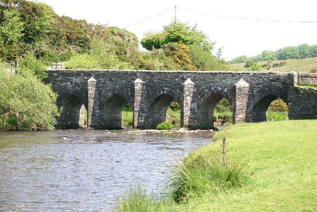
Withypool Bridge
The Withypool Bridge is an arch bridge that carries a small road over the River Barle at Withypool in Somerset, England. It is a Grade II* listed building...

Exford, Somerset
Exford is a rural village at the centre of Exmoor National Park, 7 miles (11 km) north-west of Dulverton, and 10 miles (16 km) south-west of Minehead,...

Church of St Mary Magdelene, Exford
The Anglican Church of St Mary Magdelene in Exford, Somerset, England was built in the 15th century. It is a Grade II* listed building. == History == Nothing...

Road Castle
Road Castle is an Iron Age bank and ditch in the West Somerset district of Somerset, England. The hill fort is situated approximately 2 miles (3.2 km)...
Landacre Bridge
Landacre Bridge carries Landacre Lane across the River Barle near Withypool on Exmoor in the English county of Somerset. It has been designated as a scheduled...
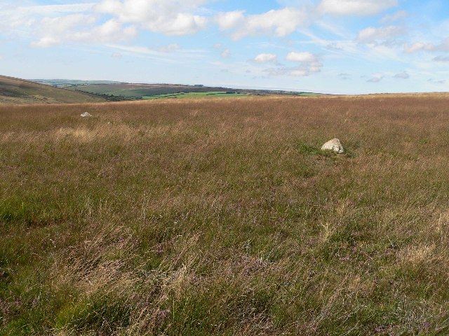
Withypool Stone Circle
Withypool Stone Circle, also known as Withypool Hill Stone Circle, is a stone circle located on the Exmoor moorland, near the village of Withypool in the...
Related Videos

Walking The Coleridge Way | 51 miles In The Footsteps Of Poetry
The Coleridge Way runs for 51 miles from Nether Stowey on the edge of the Quantock Hills AONB, to Lynmouth on the coast of ...

Epic Exmoor: Hiking, Wild Swimming and The South West Coast Path #greenspaces #wellbeing
This hike begins at the free County Gate carpark (EX35 6NQ) in the incredible Exmoor National Park. From here we follow the ...
Exmoor National Park Walks | A Walk From Withypool to Tarr Steps
Beginning in the Barle Valley on Exmoor National Park, Abbie heads up to the top of Withypool Hill in search of an ancient stone ...

Beautiful walk in Exmoor National Park! #walking #nationalparks
A walk through the Lorna Doone Valley in Exmoor National Park, from National Trust cafe The Buttery and along the East Lyn ...
Nearby Amenities
Located within 500m of 51.121883,-3.6549618Have you been to Buckworthy Plantation?
Leave your review of Buckworthy Plantation below (or comments, questions and feedback).