Blackland Woods
Wood, Forest in Somerset Somerset West and Taunton
England
Blackland Woods

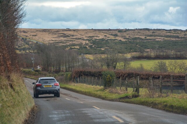
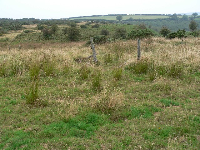
Blackland Woods is a picturesque woodland located in Somerset, England. Covering an area of approximately 100 acres, it is a serene and tranquil escape from the bustling city life. The woodland is predominantly made up of deciduous trees such as oak, beech, and birch, creating a dense canopy that provides shade and shelter for a diverse range of flora and fauna.
The forest floor is rich with a variety of wildflowers, ferns, and mosses, adding to the overall beauty and biodiversity of the area. The woods are also home to several species of resident and migratory birds, including woodpeckers, owls, and songbirds, making it a haven for birdwatchers and nature enthusiasts.
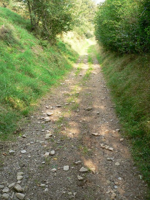
Blackland Woods offers a network of well-maintained walking trails, allowing visitors to explore and immerse themselves in the natural surroundings. The paths wind through the forest, leading to hidden clearings and viewpoints that offer stunning vistas of the surrounding landscape.
The woods are particularly enchanting during the autumn months when the leaves change color, painting the landscape with vibrant hues of red, orange, and gold. It is a popular destination for photographers and artists seeking inspiration from nature's palette.
In addition to its natural beauty, Blackland Woods also has historical significance. It is rumored to have been a site for Iron Age settlements, and evidence of ancient earthworks can still be seen in certain areas of the woodland.
Overall, Blackland Woods is a captivating and diverse woodland, offering visitors an opportunity to connect with nature, enjoy outdoor activities, and appreciate the splendor of the Somerset countryside.
If you have any feedback on the listing, please let us know in the comments section below.
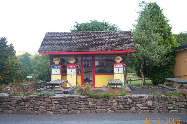
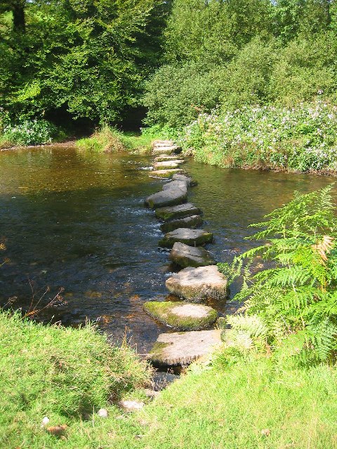
Blackland Woods Images
Images are sourced within 2km of 51.116766/-3.6561791 or Grid Reference SS8436. Thanks to Geograph Open Source API. All images are credited.


Blackland Woods is located at Grid Ref: SS8436 (Lat: 51.116766, Lng: -3.6561791)
Administrative County: Somerset
District: Somerset West and Taunton
Police Authority: Avon and Somerset
What 3 Words
///vegetable.bicker.blissful. Near Porlock, Somerset
Nearby Locations
Related Wikis
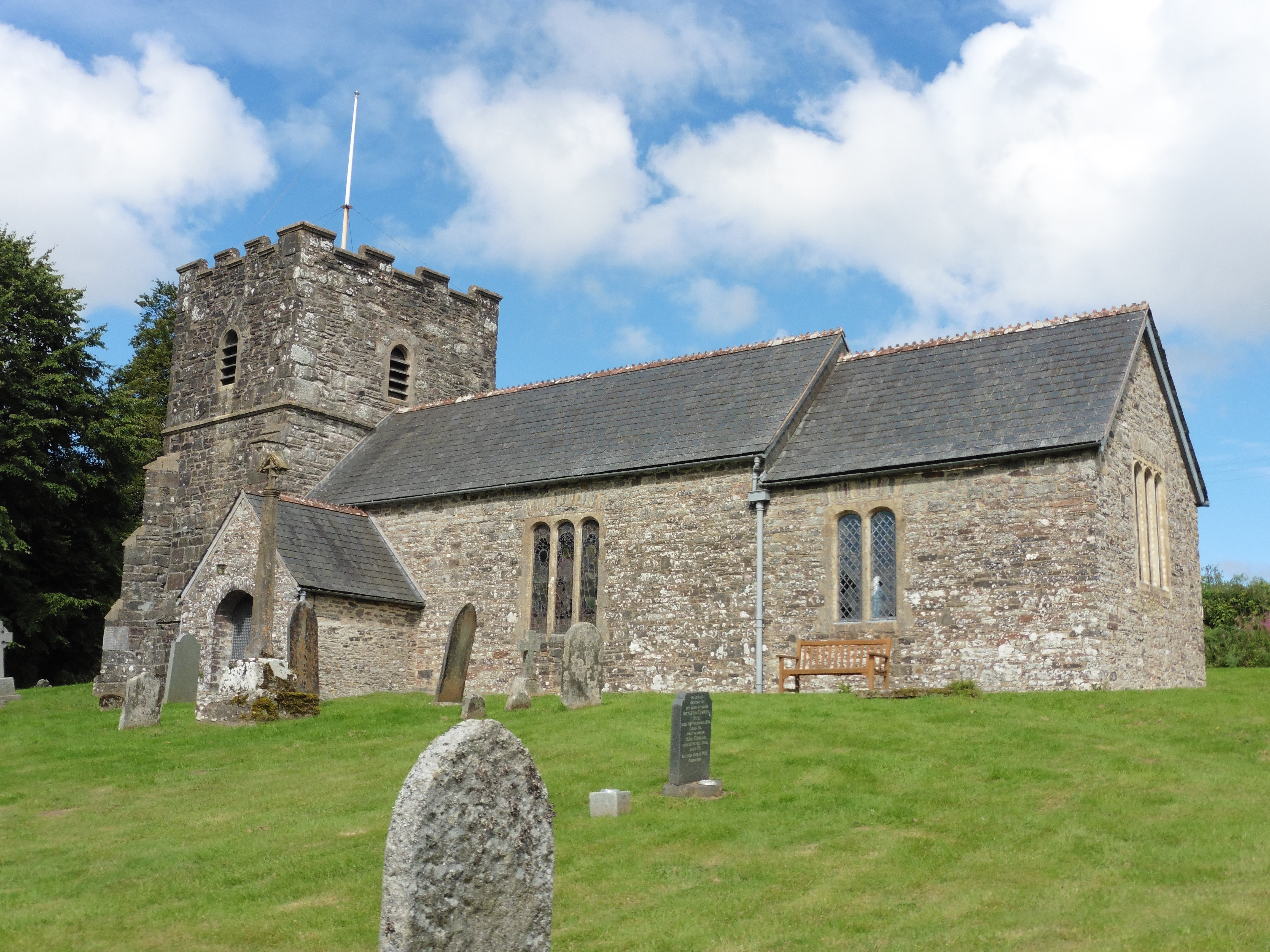
Church of St Andrew, Withypool
The Anglican Church of St Andrew in Withypool, Somerset, England was built in late medieval period. It is a Grade II* listed building. == History == The...

Withypool
Withypool (formerly Widepolle, Widipol, Withypoole) is a small village and former civil parish, now in the parish of Withypool and Hawkridge, in the Somerset...
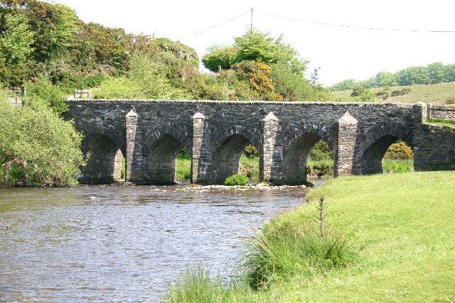
Withypool Bridge
The Withypool Bridge is an arch bridge that carries a small road over the River Barle at Withypool in Somerset, England. It is a Grade II* listed building...
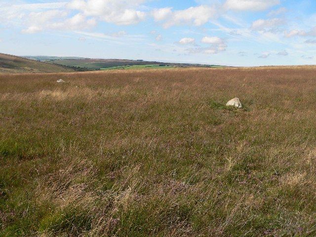
Withypool Stone Circle
Withypool Stone Circle, also known as Withypool Hill Stone Circle, is a stone circle located on the Exmoor moorland, near the village of Withypool in the...

Road Castle
Road Castle is an Iron Age bank and ditch in the West Somerset district of Somerset, England. The hill fort is situated approximately 2 miles (3.2 km)...

Exford, Somerset
Exford is a rural village at the centre of Exmoor National Park, 7 miles (11 km) north-west of Dulverton, and 10 miles (16 km) south-west of Minehead,...

Church of St Mary Magdelene, Exford
The Anglican Church of St Mary Magdelene in Exford, Somerset, England was built in the 15th century. It is a Grade II* listed building. == History == Nothing...
Landacre Bridge
Landacre Bridge carries Landacre Lane across the River Barle near Withypool on Exmoor in the English county of Somerset. It has been designated as a scheduled...
Nearby Amenities
Located within 500m of 51.116766,-3.6561791Have you been to Blackland Woods?
Leave your review of Blackland Woods below (or comments, questions and feedback).