Churchtown

Settlement in Cumberland Allerdale

England

Churchtown

Remains of a Lime Kiln
Remains of a Lime Kiln Credit: Les Hull

Churchtown is a small village located in the county of Cumberland, England. Situated approximately 5 miles south of the town of Carlisle, it is nestled in the picturesque countryside of the Eden Valley. With a population of around 500 residents, Churchtown exudes a charming and close-knit community atmosphere.

The village is known for its historical significance, with evidence of human settlement dating back to Roman times. The centerpiece of Churchtown is the St. Michael's Church, a Grade I listed building that dates back to the 12th century. This stunning church boasts a beautiful Norman tower and intricate stained glass windows, attracting visitors from far and wide.

Surrounded by rolling hills and idyllic farmland, Churchtown offers ample opportunities for outdoor activities and exploration. The village is a popular starting point for scenic walks, with trails leading to nearby areas of natural beauty such as Talkin Tarn Country Park and Geltsdale RSPB Nature Reserve.

Despite its small size, Churchtown is well-served by local amenities. It has a village shop, a post office, and a cozy pub where locals and visitors can enjoy traditional British fare. The village also hosts a variety of community events throughout the year, including a summer fair and a Christmas market, fostering a strong sense of community spirit.

Overall, Churchtown is a charming and historically significant village that offers a peaceful rural lifestyle amidst the stunning countryside of Cumberland. Its rich heritage, natural beauty, and warm community make it a delightful destination for both residents and visitors.

If you have any feedback on the listing, please let us know in the comments section below.
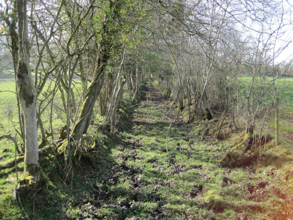
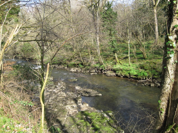
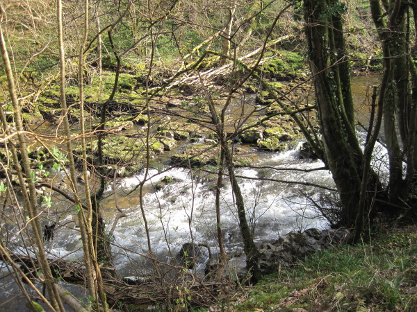
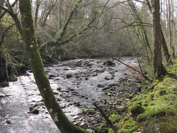
Churchtown Images

Images are sourced within 2km of 54.759841/-2.9960699 or Grid Reference NY3641. Thanks to Geograph Open Source API. All images are credited.

Remains of a Lime Kiln
High Hartrigg Ruined farm building
High Hartrigg
Ruined farm building
High Hartrigg Ruined farm building
High Hartrigg
Ruined farm building
Footpath above Warnell
Warnell Hall Fortified house now farmhouse. Early or mid C16 incorporating part of a C14
tower with alterations, dated and inscribed over entrance T & M D 1683 with
Denton coat-of-arms. Large blocks of mixed calciferous and pink sandstone with
graduated greenslate roof and stone chimney stacks. 2 storeys, 5 bays with
stair projection to rear making shape; originally a fortified courtyard plan.
Top-glazed panelled door in alternate-block surround under cornice and voussoir
frieze. 2-light stone-mullioned windows under cornices are of 1683. Confined
fenestration is explained by adjoining courtyard range, that to right listed
separately, but that to left now demolished, leaving blank wall. Rear 2- and
3-light stone-mullioned windows under hoodmoulds could be C16. Wall at left
rear has earlier blocked window and is said to contain the remains of a newel
staircase of the C14 tower, now demolished. Further single-storey rear
extension is probably early C18. Interior has large segmental-arched stone
fireplace in principal ground-floor room. Late C17 oak staircase with twisted
balusters and broad moulded handrail. House of Dacre family which was exchanged
with the Denton family for Denton Hall in 1507; sold by the Dentons to Sir James
Lowther in 1774 and still in the possession of that family. See W.T. McIntyre,
Warnell Hall, Cumberland News, 4 August 1934; Transactions Cumberland &
Westmorland Antiquarian & Archaeological Society, new series, xx, p238.
<span class="nowrap"><a title="http://www.britishlistedbuildings.co.uk/en-72486-warnell-hall-sebergham" rel="nofollow ugc noopener" href="http://www.britishlistedbuildings.co.uk/en-72486-warnell-hall-sebergham">Link</a><img style="margin-left:2px;" alt="External link" title="External link - shift click to open in new window" src="https://s1.geograph.org.uk/img/external.png" width="10" height="10"/></span>
Warnell Hall
Fortified house now farmhouse. Early or mid C16 incorporating part of a C14 tower with alterations, dated and inscribed over entrance T & M D 1683 with Denton coat-of-arms. Large blocks of mixed calciferous and pink sandstone with graduated greenslate roof and stone chimney stacks. 2 storeys, 5 bays with stair projection to rear making shape; originally a fortified courtyard plan. Top-glazed panelled door in alternate-block surround under cornice and voussoir frieze. 2-light stone-mullioned windows under cornices are of 1683. Confined fenestration is explained by adjoining courtyard range, that to right listed separately, but that to left now demolished, leaving blank wall. Rear 2- and 3-light stone-mullioned windows under hoodmoulds could be C16. Wall at left rear has earlier blocked window and is said to contain the remains of a newel staircase of the C14 tower, now demolished. Further single-storey rear extension is probably early C18. Interior has large segmental-arched stone fireplace in principal ground-floor room. Late C17 oak staircase with twisted balusters and broad moulded handrail. House of Dacre family which was exchanged with the Denton family for Denton Hall in 1507; sold by the Dentons to Sir James Lowther in 1774 and still in the possession of that family. See W.T. McIntyre, Warnell Hall, Cumberland News, 4 August 1934; Transactions Cumberland & Westmorland Antiquarian & Archaeological Society, new series, xx, p238. LinkExternal link
Footpath towards Lonningfoot An old green lane.  
We decided not to "plodge" through the mud.
Footpath towards Lonningfoot
An old green lane. We decided not to "plodge" through the mud.
Warnell Beck
Warnell Beck
Former Mill at Lonningfoot, Sebergham
Old Mill Race, Lonningfoot, Sebergham
River Caldew at Sebergham
Farm Building near Sebergham
River Caldew near Sebergham
River Caldew
River Caldew
River Caldew
River Caldew
River Caldew
River Caldew
Cumbria Way between Sebergham and Caldbeck
Fields at Monkhouse Hill Farm The northern end of the Pennines is on the distant horizon.
Fields at Monkhouse Hill Farm
The northern end of the Pennines is on the distant horizon.
Show me another place!

Churchtown is located at Grid Ref: NY3641 (Lat: 54.759841, Lng: -2.9960699)

Administrative County: Cumbria

District: Allerdale

Police Authority: Cumbria

What 3 Words

///blunders.grower.slanting. Near Dalston, Cumbria

Nearby Locations

Churchtown Sebergham

Related Wikis

Sebergham

Sebergham is a small village and civil parish in the English county of Cumbria. It is located on the B5305, south of Carlisle and south-east of Wigton...

Cumberland

Cumberland ( KUM-bər-lənd) is a historic county in North West England, covering part of the Lake District as well as the northern Pennines and the coast...

Brothybeck

Brothybeck is a village in Cumbria, England.

Castle Sowerby

Castle Sowerby is a civil parish in the Eden District of Cumbria, England. In 2001 it had a population of 337, increasing to 344 at the 2011 Census, and...

Nearby Amenities

Located within 500m of 54.759841,-2.9960699
The data included in this document is from www.openstreetmap.org. The data is made available under ODbL.

Have you been to Churchtown?

Leave your review of Churchtown below (or comments, questions and feedback).