New House Copse

Wood, Forest in Devon Teignbridge

England

New House Copse

View near Bilsdon Trig Point
View near Bilsdon Trig Point Credit: thejackrustles

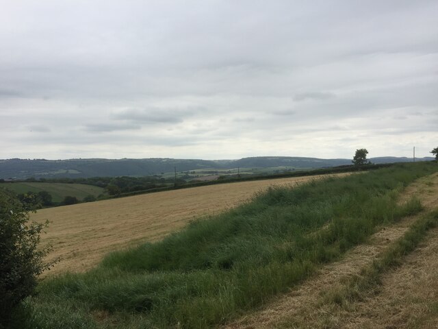
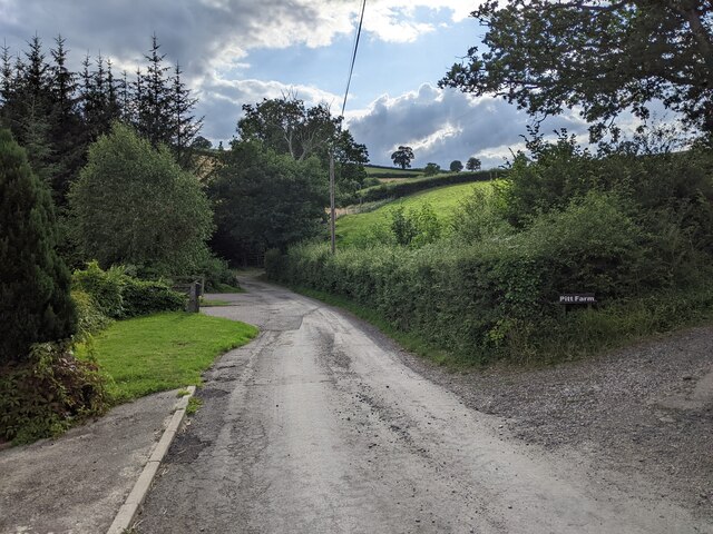
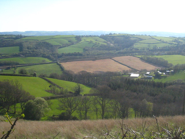
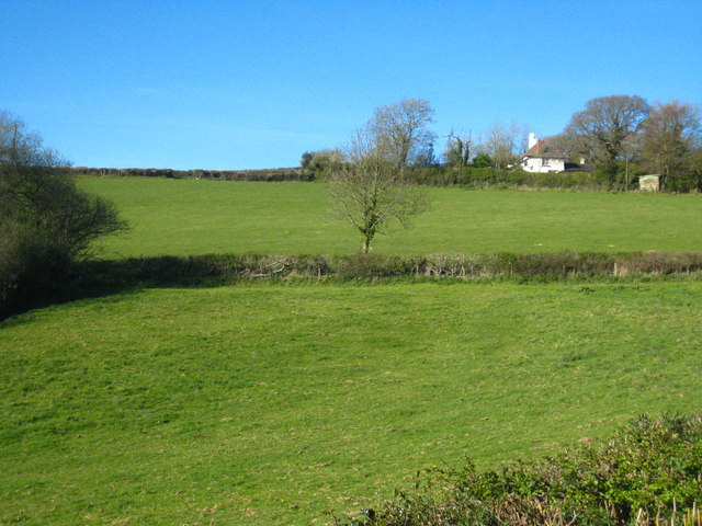
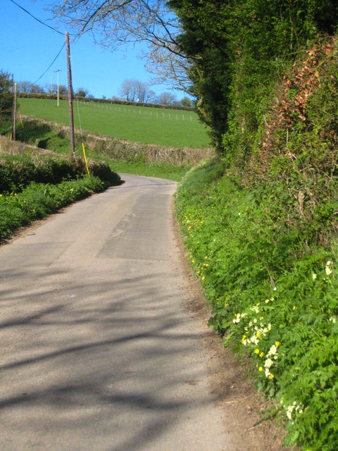
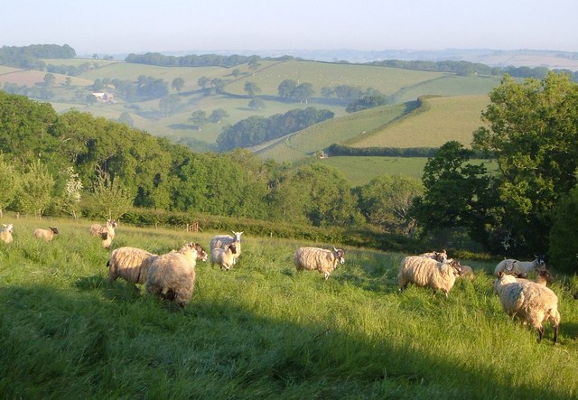
New House Copse is a picturesque woodland located in the county of Devon, England. Situated in the heart of the countryside, this enchanting forest covers an area of approximately 50 hectares.

The copse is predominantly composed of a diverse mixture of deciduous and coniferous trees, creating a rich tapestry of colors throughout the seasons. Tall oak, beech, and ash trees dominate the landscape, providing a dense canopy that casts beautiful dappled light on the forest floor. The understory is also abundant with native shrubs and wildflowers, adding to the area's natural beauty.

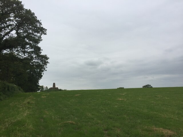
Tranquility is the defining characteristic of New House Copse. Visitors can immerse themselves in the peaceful ambiance as they walk along the well-maintained trails that wind through the forest. The paths lead to secluded clearings, where visitors can relax and enjoy a picnic amidst the serene surroundings.

For nature enthusiasts, New House Copse is a haven of wildlife. The forest is home to a variety of bird species, including woodpeckers, owls, and warblers. Squirrels can be spotted scampering among the treetops, while rabbits and deer occasionally make appearances in the clearing.

The forest also holds historical significance. It is believed to have been part of an ancient woodland that existed in the area for centuries. Remnants of old trees and archaeological finds have been discovered, giving insight into the rich cultural heritage of the region.

New House Copse offers an idyllic escape from the bustle of everyday life, providing visitors with a chance to reconnect with nature and experience the tranquility of a truly enchanting woodland.

If you have any feedback on the listing, please let us know in the comments section below.

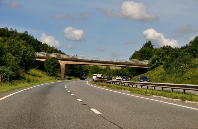
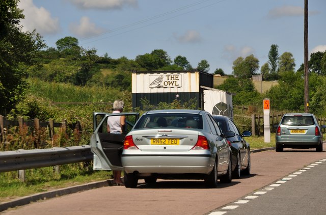
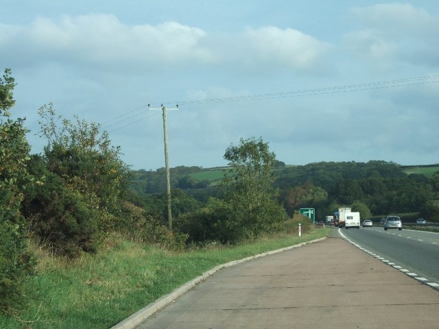
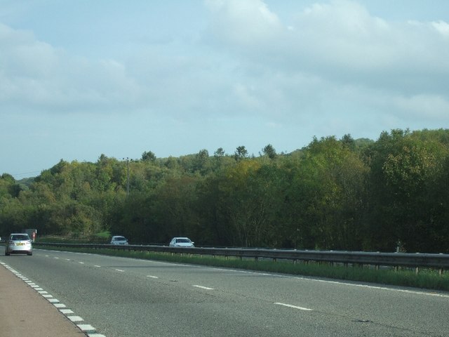
New House Copse Images

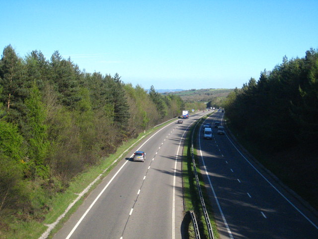
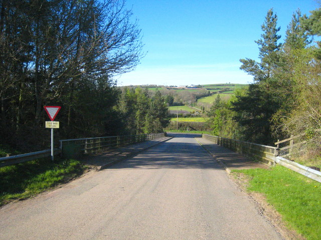
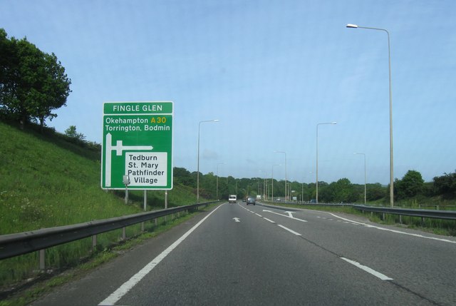
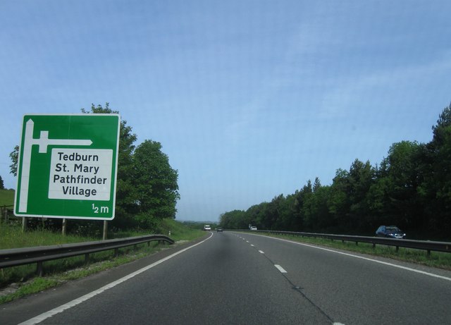
Images are sourced within 2km of 50.724192/-3.6484018 or Grid Reference SX8392. Thanks to Geograph Open Source API. All images are credited.

View near Bilsdon Trig Point
Bilsdon Trig Point on a high plinth
The A30 west at exit for Pathfinder Village
Entrance to Woodhayes Farm
Lane passing Kingsford Farm and the lane to Pitt Farm
The upper valley of the Alphin Brook The farm on the right is Lower Hare Farm and the wooded valley at upper left is Higher Winter Cleave in square <a href="https://www.geograph.org.uk/gridref/SX8592">SX8592</a>.
The upper valley of the Alphin Brook
The farm on the right is Lower Hare Farm and the wooded valley at upper left is Higher Winter Cleave in square SX8592.
Fields in Heath Lane The house is Heath Cross Cottage.
Fields in Heath Lane
The house is Heath Cross Cottage.
Heath Lane Looking up the hill towards Heath Cross.
Heath Lane
Looking up the hill towards Heath Cross.
Looking east along the A30 Seen from the overbridge near Pathfinder Village.
Looking east along the A30
Seen from the overbridge near Pathfinder Village.
Bridge over the A30 Carrying the minor road east of Pathfinder Village.  Heath Lane can be seen running up the hill in the distance <a href="https://www.geograph.org.uk/photo/2355387">SX8494 : Heath Lane</a>.
Bridge over the A30
Carrying the minor road east of Pathfinder Village. Heath Lane can be seen running up the hill in the distance SX8494 : Heath Lane.
Fingle Glen junction, A30
Pathfinder Village turning, A30
Teignbridge : A30 Dual Carriageway The dual carriageway passes through the northern part of the Teignbridge District and out towards West Devon.
Teignbridge : A30 Dual Carriageway
The dual carriageway passes through the northern part of the Teignbridge District and out towards West Devon.
Teignbridge : A30 Layby A shack on a layby beside the A30 known as The Owl.
Teignbridge : A30 Layby
A shack on a layby beside the A30 known as The Owl.
Lay-by on A30 and advance warning for junction to Tedburn In the background are the woodlands of South Park Copse
Lay-by on A30 and advance warning for junction to Tedburn
In the background are the woodlands of South Park Copse
View across the A30 near Five Mile Farm The woodland close to this lay-by stretches on both sides of the dual carriageway
View across the A30 near Five Mile Farm
The woodland close to this lay-by stretches on both sides of the dual carriageway
Sheep near Halstow A young wood - an orchard, perhaps - is in the next field on the left. Beyond is Oxenpark Plantation. In the background is the valley of the Ducks Brook, with the farm of Aller, in <a href="https://www.geograph.org.uk/gridref/SX8192">SX8192</a>.
Sheep near Halstow
A young wood - an orchard, perhaps - is in the next field on the left. Beyond is Oxenpark Plantation. In the background is the valley of the Ducks Brook, with the farm of Aller, in SX8192.
Scene at Threefoot Stool Another view of part of the junction shown in <a href="https://www.geograph.org.uk/photo/1603032">SX8292 : Turning to Tedburn St Mary at Halstow</a>, with the lane to Dunsford turning past Halstow Lodge.
Scene at Threefoot Stool
Another view of part of the junction shown in SX8292 : Turning to Tedburn St Mary at Halstow, with the lane to Dunsford turning past Halstow Lodge.
Show me another place!

New House Copse is located at Grid Ref: SX8392 (Lat: 50.724192, Lng: -3.6484018)

Administrative County: Devon

District: Teignbridge

Police Authority: Devon and Cornwall

What 3 Words

///boomed.goofy.configure. Near Crediton, Devon

Related Wikis

Holcombe Burnell

Holcombe Burnell is a civil parish in the Teignbridge district, in Devon, England, the church of which is about 4 miles west of Exeter City centre. There...

Tedburn St Mary

Tedburn St Mary is a village and civil parish in the Teignbridge district of Devon, England, approximately 8 miles west of Exeter. It has a population...

Longdown railway station

Longdown was a railway station serving Longdown, a small village in Devon, England located on the Teign Valley Line between the towns of Newton Abbot and...

Dunsford Halt railway station

Dunsford Halt was a railway station serving Dunsford, a small village in Devon, England, on the Teign Valley Line between the towns of Newton Abbot and...

Longdown

Longdown is a small village in the parish of Holcombe Burnell, south of the A30 road, about four miles west of Exeter in Devon, England. It has a public...

Whitestone, Devon

Whitestone () is a small village in Devon, England, approximately 4 miles west of Exeter. It is in the parish of Whitestone; one of the 45 parish and town...

Cotley Castle

Cotley Castle is a large Iron Age Hill fort near Dunchideock in Devon and close to Exeter in England. It occupies a significant hilltop at 220 metres...

Dunsford

Dunsford is a village in Devon, England, just inside the Dartmoor National Park. The place-name 'Dunsford' is first attested in the Domesday Book of 1086...

Nearby Amenities

Located within 500m of 50.724192,-3.6484018
Pathfinder Village
Place: village
Lat/Long: 50.7274882/-3.6436332
Post Office
Pathfinder Village Post Office
Addr City: Exeter
Addr Country: GB
Addr Postcode: EX6 6BT
Addr Suburb: Pathfinder Village
Branch: Pathfinder Village
Brand: Post Office
Brand Wikidata: Q1783168
Check Date: 2020-02-20
Contact Website: https://www.postoffice.co.uk/branch-finder/2325195/pathfinder-village
Ref Pol Id: 8946
Lat/Long: 50.727401/-3.645326
Fingle Glen Golf Hotel
Addr City: Exeter
Addr Country: GB
Addr Housename: Tedburn St. Mary Exeter
Addr Postcode: EX6 6AF
Addr Suburb: Pathfinder Village
Fhrs Id: 13051
Source Addr: FHRS Open Data
Tourism: hotel
Lat/Long: 50.7282304/-3.6490679
Motorway Junction
Fingle Glen
Lat/Long: 50.7257247/-3.6540963
Motorway Junction
Fingle Glen
Lat/Long: 50.7257267/-3.6516311
Power: pole
Source: bing
Lat/Long: 50.7272332/-3.6536273
Power: pole
Source: bing
Lat/Long: 50.7266474/-3.6471686
Power: pole
Source: bing
Lat/Long: 50.7266814/-3.6484319
Power: pole
Source: bing
Lat/Long: 50.7267069/-3.6496858
Power: pole
Source: bing
Lat/Long: 50.7267323/-3.6509411
Power: pole
Source: bing
Lat/Long: 50.7267841/-3.6517699
Power: pole
Source: bing
Lat/Long: 50.7268274/-3.6525249
Power: pole
Source: bing
Lat/Long: 50.7267035/-3.6530936
Power: pole
Source: bing
Lat/Long: 50.7264352/-3.6507064
Power: pole
Source: bing
Lat/Long: 50.7265659/-3.6518759
Power: pole
Source: bing
Lat/Long: 50.7255013/-3.6420509
Power: pole
Source: bing
Lat/Long: 50.72561/-3.6431158
Power: pole
Source: bing
Lat/Long: 50.7257594/-3.6444971
Material: wood
Power: pole
Source: bing
Lat/Long: 50.7259122/-3.6458918
Material: wood
Power: pole
Source: bing
Lat/Long: 50.7260778/-3.6474207
Power: pole
Source: bing
Lat/Long: 50.7265574/-3.6432137
Power: pole
Source: bing
Lat/Long: 50.726599/-3.6447854
Power: pole
Source: bing
Lat/Long: 50.7266194/-3.645857
Barrier: bollard
Lat/Long: 50.7267296/-3.6427725
Post Box
Brand: Royal Mail
Brand Wikidata: Q638098
Brand Wikipedia: en:Royal Mail
Collection Times: Mo-Fr 17:00; Sa 11:15; Su off
Operator: Royal Mail
Operator Wikidata: Q638098
Ref: EX6 439
Royal Cypher: EIIR
Royal Cypher Wikidata: Q33102113
Source: streetlevel imagery;aerial imagery
Lat/Long: 50.7273197/-3.6452405
The data included in this document is from www.openstreetmap.org. The data is made available under ODbL.

Have you been to New House Copse?

Leave your review of New House Copse below (or comments, questions and feedback).