English Hill Plantation

Wood, Forest in Devon Teignbridge

England

English Hill Plantation

On the B3212, a postbox, public footpath and cyclists
On the B3212, a postbox, public footpath and cyclists Credit: Rob Purvis

English Hill Plantation is a sprawling estate located in the picturesque countryside of Devon, England. Situated amidst lush woodlands and serene forests, this grand estate offers a haven of tranquility and natural beauty. Spanning across several acres, the plantation is a harmonious blend of manicured gardens, rolling hills, and ancient woodlands.

The centerpiece of English Hill Plantation is a magnificent Georgian-style mansion that exudes elegance and charm. Built in the 18th century, the mansion boasts exquisite architectural details, including stately columns, grand windows, and a regal entrance. Inside, the mansion is adorned with opulent furnishings, intricate artwork, and stunning chandeliers, reflecting its rich history and grandeur.

Surrounding the mansion, the meticulously landscaped gardens of English Hill Plantation are a sight to behold. Sprawling lawns, vibrant flower beds, and meandering pathways create a picturesque setting for leisurely strolls or peaceful moments of reflection. The plantation also features a charming pond, where visitors can enjoy the soothing sounds of nature and observe the diverse wildlife that calls this estate home.

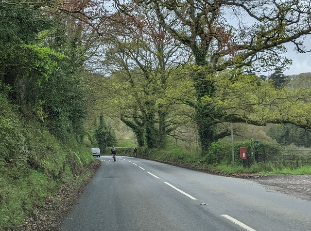
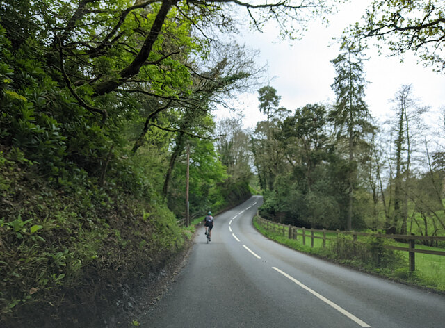
Beyond the gardens, the plantation is enveloped by ancient woodlands and sprawling forests. Towering trees, dense foliage, and winding trails invite nature enthusiasts to explore and immerse themselves in the beauty of the natural surroundings. Whether it's a leisurely hike, a scenic picnic, or simply breathing in the fresh country air, English Hill Plantation offers a wealth of outdoor activities for visitors to enjoy.

Overall, English Hill Plantation is a true gem in the heart of Devon, offering a delightful escape into nature and a glimpse into the rich history of the region.

If you have any feedback on the listing, please let us know in the comments section below.

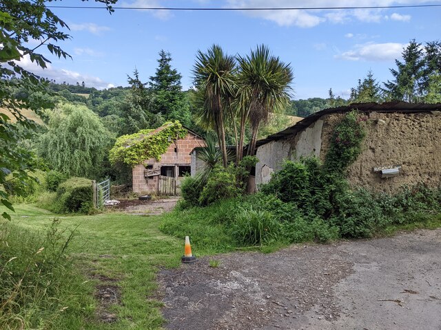
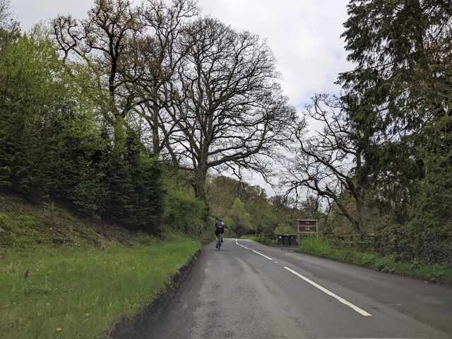
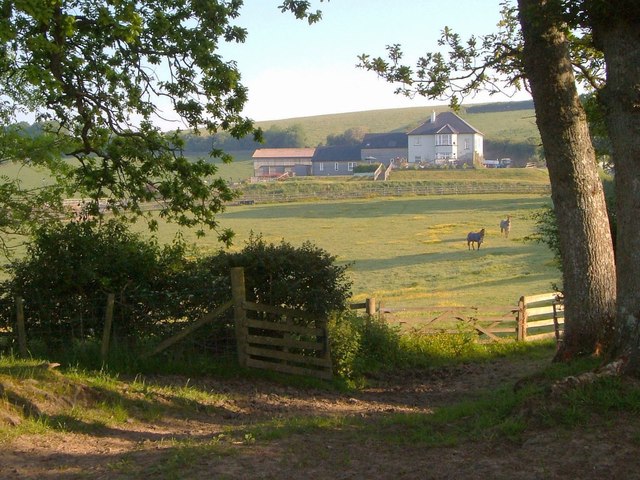
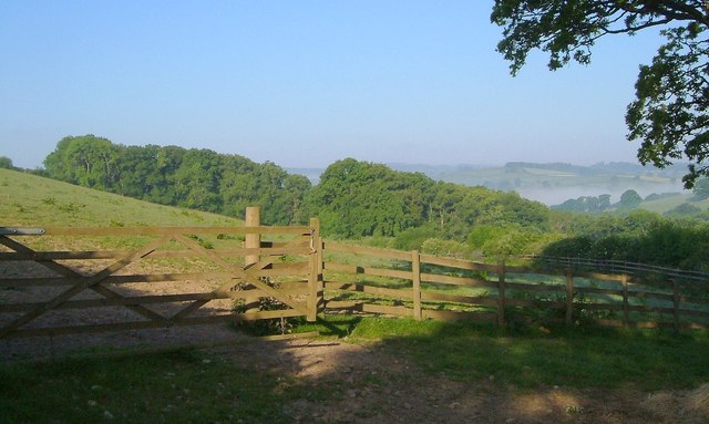
English Hill Plantation Images

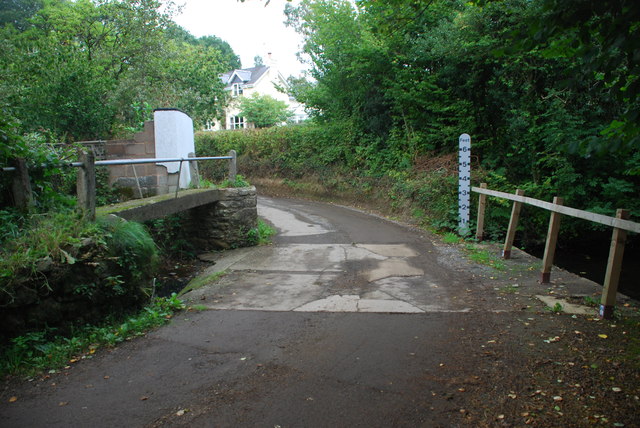
Images are sourced within 2km of 50.701215/-3.6476666 or Grid Reference SX8390. Thanks to Geograph Open Source API. All images are credited.

On the B3212, a postbox, public footpath and cyclists
Cyclist on the B3212 heading south-west
Entrance to Woodhayes Farm
Lane passing Kingsford Farm and the lane to Pitt Farm
Buildings at Rughouse Farm
Following a cyclist on the B3212, heading west
The B3212 meets the B3193, heading west
Ford, South Zeal Another view of the ford shown in <a href="https://www.geograph.org.uk/photo/1986755">SX8190 : Ford, South Zeal</a>, looking up the Reedy Brook past the footbridge.
Ford, South Zeal
Another view of the ford shown in SX8190 : Ford, South Zeal, looking up the Reedy Brook past the footbridge.
Wisteria, South Zeal A magnificent display of purple and white wisteria at the crossroads shown in <a href="https://www.geograph.org.uk/photo/182368">SX8190 : Lockhouse Farm, Dunsford</a> - you can just see it on the right of that photo.
Wisteria, South Zeal
A magnificent display of purple and white wisteria at the crossroads shown in SX8190 : Lockhouse Farm, Dunsford - you can just see it on the right of that photo.
Lane to Kelland Corner The lane from South Zeal drops towards the lane junction and the buildings at Foxcote Farm. Ahead, the Lilly Brook valley is full of mist.
Lane to Kelland Corner
The lane from South Zeal drops towards the lane junction and the buildings at Foxcote Farm. Ahead, the Lilly Brook valley is full of mist.
Goatlake Farm A view of <a href="https://www.geograph.org.uk/photo/1986641">SX8291 : Goatlake Farm</a> from beneath oak trees by the lane from Kelland Corner.
Goatlake Farm
A view of SX8291 : Goatlake Farm from beneath oak trees by the lane from Kelland Corner.
Gate, fence and field above Scuttishill Plantation From the same spot as <a href="https://www.geograph.org.uk/photo/2620574">SX8291 : Goatlake Farm</a>, looking to the left, with Scuttishill Plantation on the slopes of a side valley above Reedy Brook.
Gate, fence and field above Scuttishill Plantation
From the same spot as SX8291 : Goatlake Farm, looking to the left, with Scuttishill Plantation on the slopes of a side valley above Reedy Brook.
Crossroads at The Leat The road ahead leads to farms and has no exit except for walkers.
Crossroads at The Leat
The road ahead leads to farms and has no exit except for walkers.
Farm track branching off B3212 This wide track branches off the road to Dunsford.  It  takes the line of the B3212, and formerly gave access to Longdown railway station
Farm track branching off B3212
This wide track branches off the road to Dunsford. It takes the line of the B3212, and formerly gave access to Longdown railway station
Ford at South Zeal This ford is found on the Reedy Brook at South Zeal.
Ford at South Zeal
This ford is found on the Reedy Brook at South Zeal.
Track to Hill Farm
Track to Hill Farm
B3212 passing the grounds of Culver House The house <a href="https://www.geograph.org.uk/photo/164168">SX8490 : Culver House</a> is on the opposite bank of the valley of the Culver Brook, where the sheep are grazing
B3212 passing the grounds of Culver House
The house SX8490 : Culver House is on the opposite bank of the valley of the Culver Brook, where the sheep are grazing
Solitary tree by B3212 on Hare's Down A solitary tree in the well-trimmed hedge - it marks a field gate
Solitary tree by B3212 on Hare's Down
A solitary tree in the well-trimmed hedge - it marks a field gate
Show me another place!

English Hill Plantation is located at Grid Ref: SX8390 (Lat: 50.701215, Lng: -3.6476666)

Administrative County: Devon

District: Teignbridge

Police Authority: Devon and Cornwall

What 3 Words

///issuer.unpacked.plus. Near Exeter, Devon

Related Wikis

Dunsford Halt railway station

Dunsford Halt was a railway station serving Dunsford, a small village in Devon, England, on the Teign Valley Line between the towns of Newton Abbot and...

Longdown railway station

Longdown was a railway station serving Longdown, a small village in Devon, England located on the Teign Valley Line between the towns of Newton Abbot and...

Holcombe Burnell

Holcombe Burnell is a civil parish in the Teignbridge district, in Devon, England, the church of which is about 4 miles west of Exeter City centre. There...

Longdown

Longdown is a small village in the parish of Holcombe Burnell, south of the A30 road, about four miles west of Exeter in Devon, England. It has a public...

Cotley Castle

Cotley Castle is a large Iron Age Hill fort near Dunchideock in Devon and close to Exeter in England. It occupies a significant hilltop at 220 metres...

Dunsford

Dunsford is a village in Devon, England, just inside the Dartmoor National Park. The place-name 'Dunsford' is first attested in the Domesday Book of 1086...

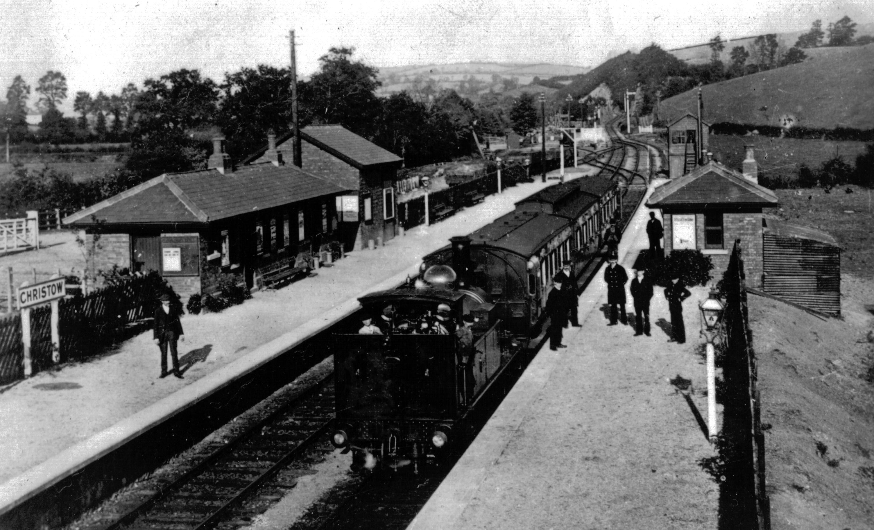
Christow railway station

Christow Railway Station's previously known as Teign House was a railway station serving the villages of Christow, Bridford and Doddiscombsleigh in Devon...

Bridford

Bridford is a village and civil parish in south west England, located in the Teign Valley, Devon on the edge of Dartmoor. The parish is surrounded (clockwise...

Nearby Amenities

Located within 500m of 50.701215,-3.6476666
Ford: yes
Lat/Long: 50.6996184/-3.6511497
Shepherd's Ford
Source: OS_OpenData_StreetView
Lat/Long: 50.702093/-3.6508534
The data included in this document is from www.openstreetmap.org. The data is made available under ODbL.

Have you been to English Hill Plantation?

Leave your review of English Hill Plantation below (or comments, questions and feedback).