Barnfield Plantation
Wood, Forest in Devon Teignbridge
England
Barnfield Plantation
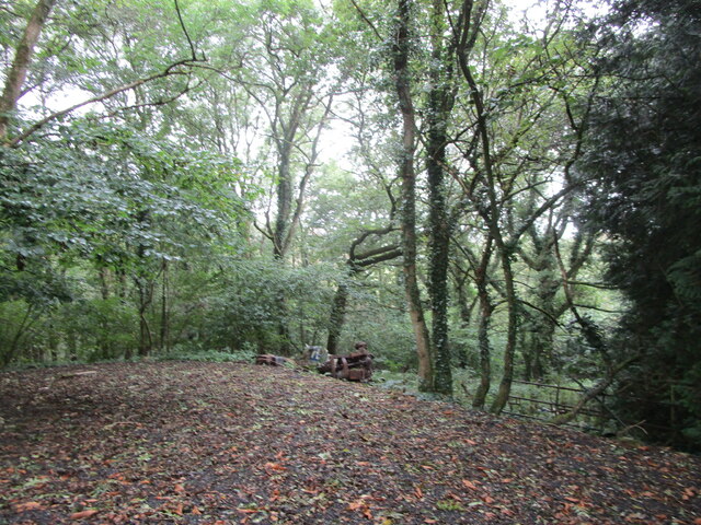
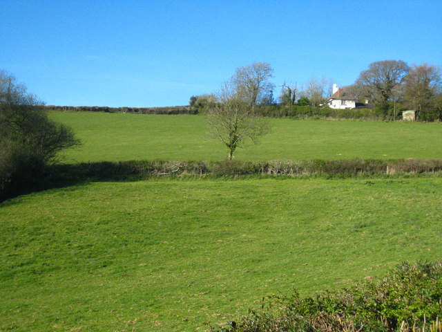
Barnfield Plantation is a picturesque woodland area located in Devon, England. Spread over an expansive area, this plantation is known for its lush greenery, diverse flora, and tranquil atmosphere. It offers a serene escape from the hustle and bustle of city life, attracting nature enthusiasts, hikers, and photographers alike.
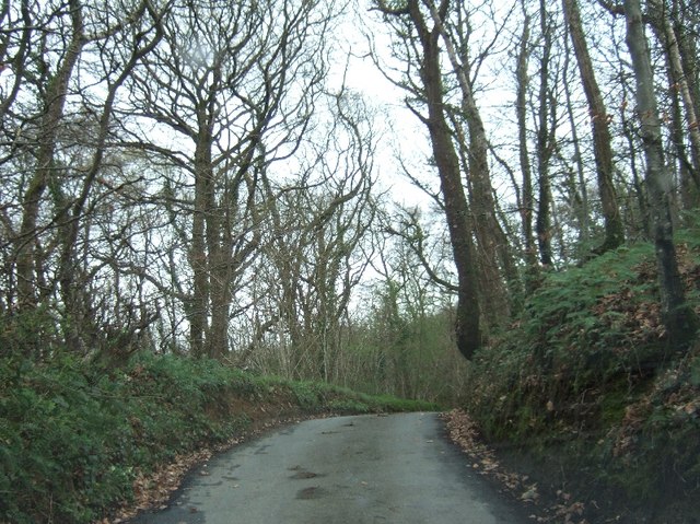
The plantation is dominated by a mixture of broadleaf and coniferous trees, including oak, beech, pine, and spruce. These towering trees create a dense canopy, providing shade and shelter for an array of wildlife species. Visitors can spot various bird species, such as woodpeckers, owls, and songbirds, as well as small mammals like squirrels, rabbits, and foxes.
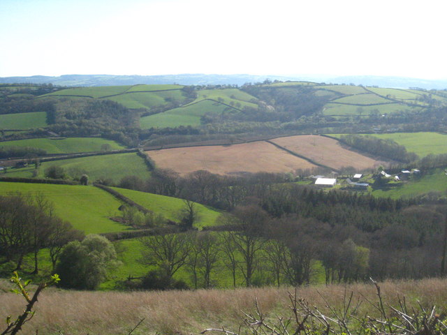
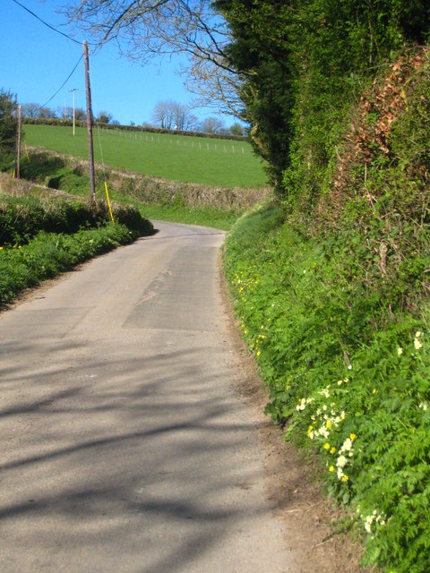
Traversing through the woodland, visitors will find a network of well-maintained trails that wind their way through the plantation. These trails offer opportunities for leisurely strolls or more challenging hikes, allowing visitors to explore the diverse terrain and take in the scenic beauty of the surroundings. Along the trails, there are designated viewpoints that provide breathtaking vistas of the surrounding countryside.
Barnfield Plantation is not only a haven for wildlife but also a valuable ecological resource. It plays a vital role in maintaining the ecological balance of the region, acting as a carbon sink and contributing to the overall health of the ecosystem. The plantation is managed sustainably, with efforts in place to protect and preserve the biodiversity of the area.
Whether for a leisurely walk, a photography expedition, or a peaceful retreat into nature, Barnfield Plantation offers a captivating experience for all who visit. Its natural beauty and tranquil atmosphere make it an idyllic destination for nature lovers and outdoor enthusiasts in Devon.
If you have any feedback on the listing, please let us know in the comments section below.
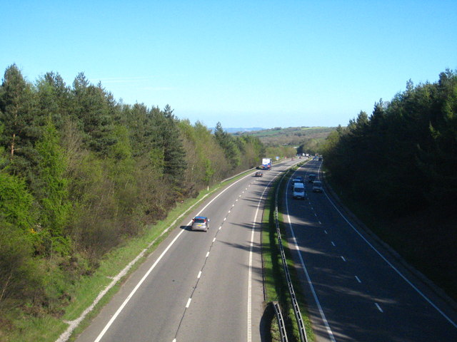
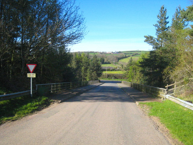
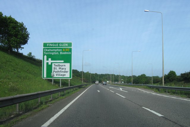
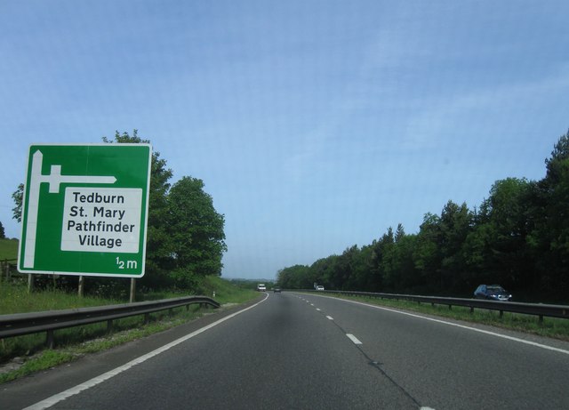
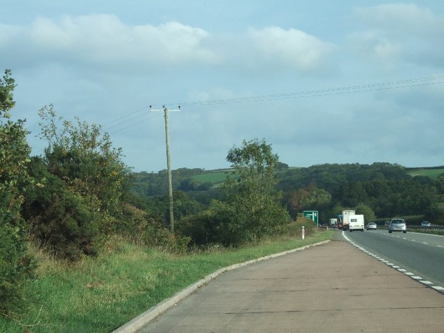
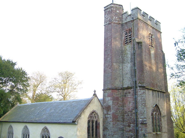
Barnfield Plantation Images
Images are sourced within 2km of 50.733508/-3.6497067 or Grid Reference SX8393. Thanks to Geograph Open Source API. All images are credited.


Barnfield Plantation is located at Grid Ref: SX8393 (Lat: 50.733508, Lng: -3.6497067)
Administrative County: Devon
District: Teignbridge
Police Authority: Devon and Cornwall
What 3 Words
///congratulations.outlooks.bounded. Near Crediton, Devon
Nearby Locations
Related Wikis

Holcombe Burnell
Holcombe Burnell is a civil parish in the Teignbridge district, in Devon, England, the church of which is about 4 miles west of Exeter City centre. There...

Tedburn St Mary
Tedburn St Mary is a village and civil parish in the Teignbridge district of Devon, England, approximately 8 miles west of Exeter. It has a population...
Whitestone, Devon
Whitestone () is a small village in Devon, England, approximately 4 miles west of Exeter. It is in the parish of Whitestone; one of the 45 parish and town...

Longdown railway station
Longdown was a railway station serving Longdown, a small village in Devon, England located on the Teign Valley Line between the towns of Newton Abbot and...
Have you been to Barnfield Plantation?
Leave your review of Barnfield Plantation below (or comments, questions and feedback).