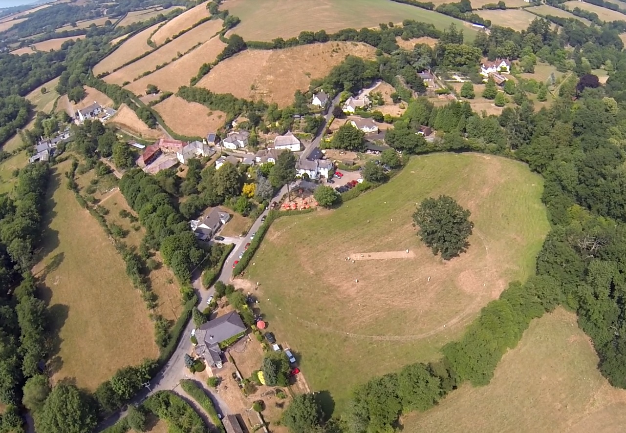
Barton Down
Wood, Forest in Devon Teignbridge
England
Barton Down

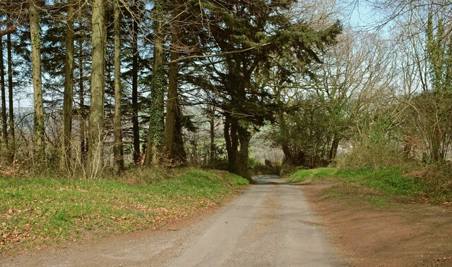
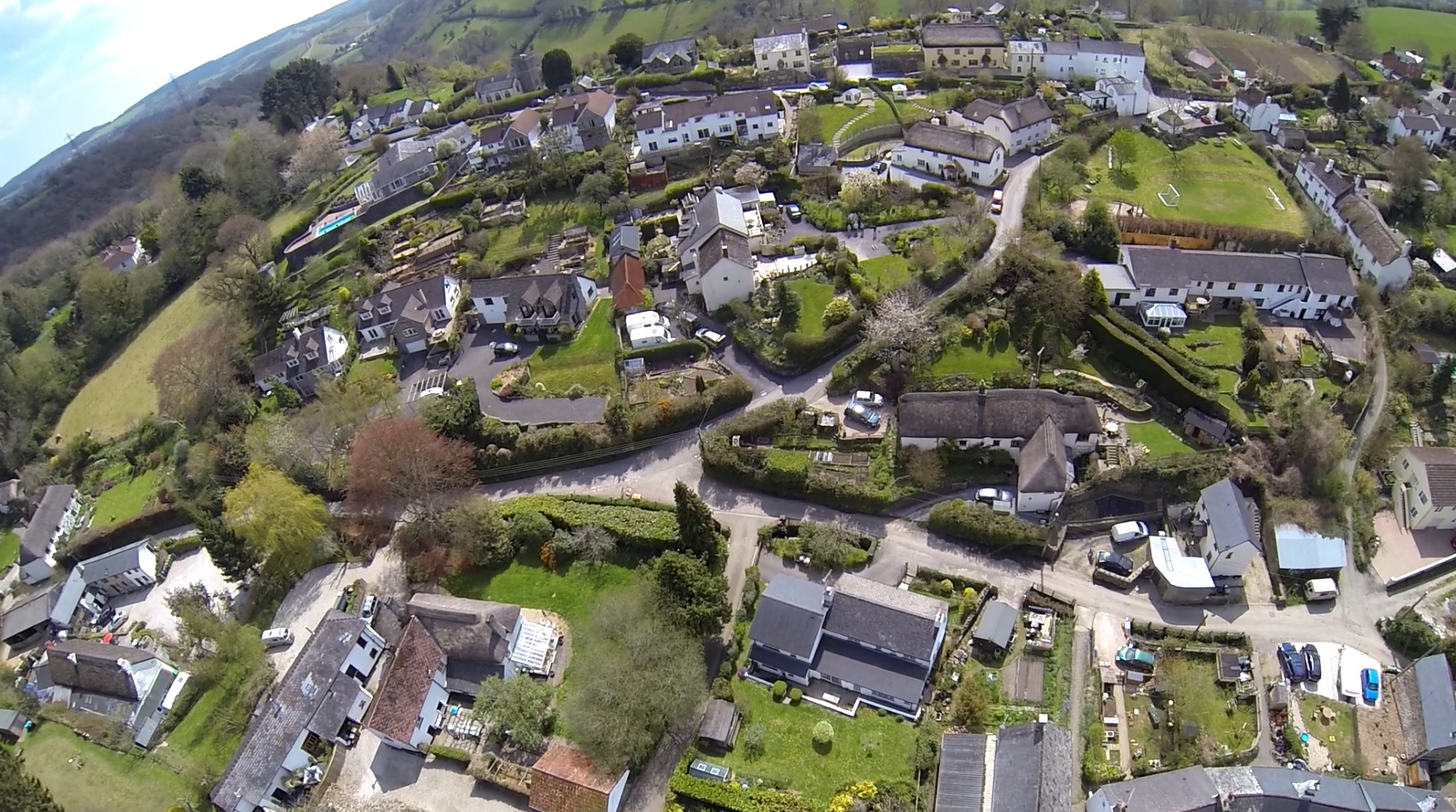
Barton Down, located in Devon, England, is a picturesque wood or forest that boasts a diverse range of plant and animal species. Covering an area of approximately 500 acres, this natural haven is known for its tranquil ambiance and stunning scenery.
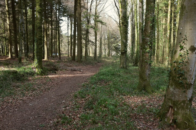
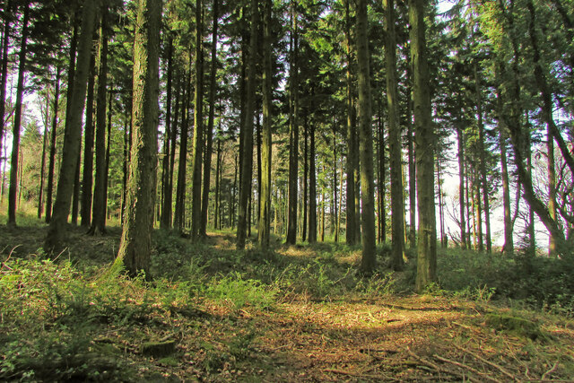
The woodland is primarily composed of native broadleaf trees such as oak, beech, and ash, which provide a dense canopy and shelter for a variety of wildlife. Walking through Barton Down, visitors can enjoy the sound of birdsong and the rustle of leaves underfoot, creating a peaceful atmosphere.
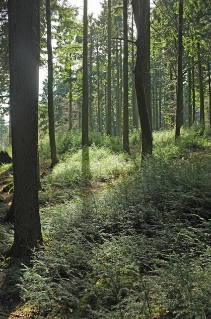
The forest floor is covered with a rich carpet of wildflowers during the spring and summer months, including bluebells, primroses, and wild garlic. These colorful blooms attract a multitude of insects, which in turn support a diverse range of bird species.
Wildlife enthusiasts will be delighted to find an array of animal species inhabiting Barton Down. It is not uncommon to spot deer, foxes, badgers, and rabbits among the trees. The forest is also home to a number of bird species, including woodpeckers, jays, and various songbirds. With its varied habitats, Barton Down provides an ideal environment for a range of creatures to thrive.
Visitors can explore the forest by following a network of well-maintained footpaths that wind through the trees. These paths offer stunning views and opportunities for peaceful walks or picnics in the heart of nature.
Overall, Barton Down in Devon is a gem of natural beauty, offering visitors a chance to immerse themselves in a diverse woodland ecosystem and experience the tranquility of the forest.
If you have any feedback on the listing, please let us know in the comments section below.
Barton Down Images
Images are sourced within 2km of 50.635335/-3.6573816 or Grid Reference SX8283. Thanks to Geograph Open Source API. All images are credited.


Barton Down is located at Grid Ref: SX8283 (Lat: 50.635335, Lng: -3.6573816)
Administrative County: Devon
District: Teignbridge
Police Authority: Devon and Cornwall
What 3 Words
///full.workflow.elevated. Near Bovey Tracey, Devon
Nearby Locations
Related Wikis

Canonteign Falls
Canonteign Falls is a waterfall in the historic tything of Canonteign in the Teign Valley and Dartmoor National Park near Chudleigh, South Devon, England...
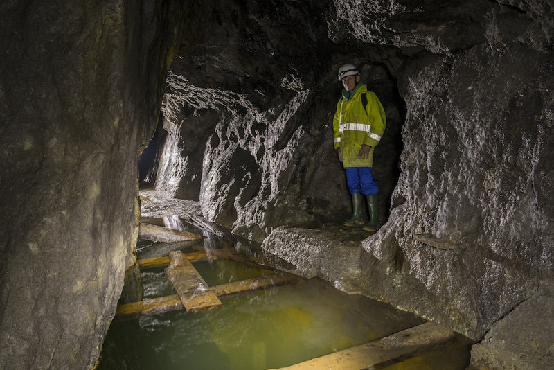
Great Rock Mine
Great Rock Mine is a disused micaceous haematite mine about 3 km north of the town of Bovey Tracey in Devon, England. It was worked from the nineteenth...
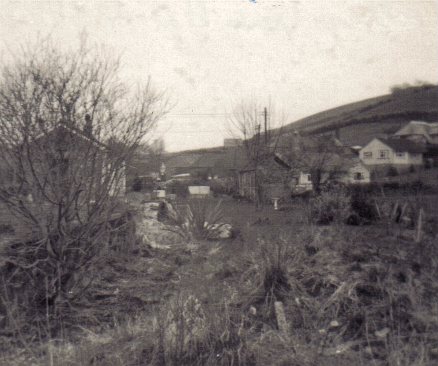
Ashton railway station
Ashton railway station was a railway station serving the village of Ashton in Devon, England. It was located on the Teign Valley line. == History == The...
Lower Ashton
Lower Ashton is a village on the western slopes of Haldon in Teignbridge, Devon, England. Along with Higher Ashton it is part of the civil parish of Ashton...

Christow
Christow is a village and civil parish in the Teignbridge district of Devon, England, about 12 miles (19 km) southwest of Exeter. The village is in the...

Hennock
Hennock is a village and civil parish about 3 miles west north west of Chudleigh, in the Teignbridge district, in the county of Devon, England. In 2011...
Trusham railway station
Trusham Railway Station was a railway station in the parish of Chudleigh, serving the villages of Trusham and Hennock in Devon, England, on the Teign Valley...
Trusham
Trusham is a small village in the Teign Valley, between Newton Abbot and Exeter, in Devon, England. The name originates from the Celtic Trisma, meaning...
Nearby Amenities
Located within 500m of 50.635335,-3.6573816Have you been to Barton Down?
Leave your review of Barton Down below (or comments, questions and feedback).