Churchill
Settlement in Worcestershire Wyre Forest
England
Churchill
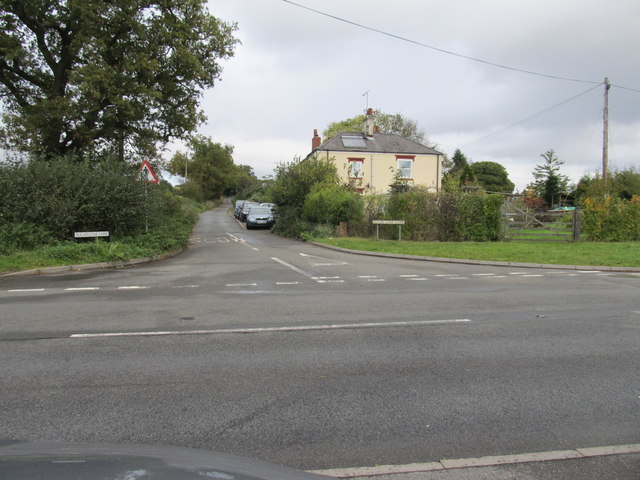
Churchill is a village located in the Worcestershire county of England, situated approximately 15 miles southwest of the city of Worcester. With a population of around 1,000 residents, it is a small and picturesque village that offers a peaceful and rural setting to its inhabitants.
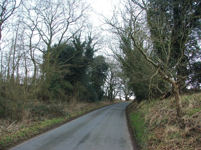
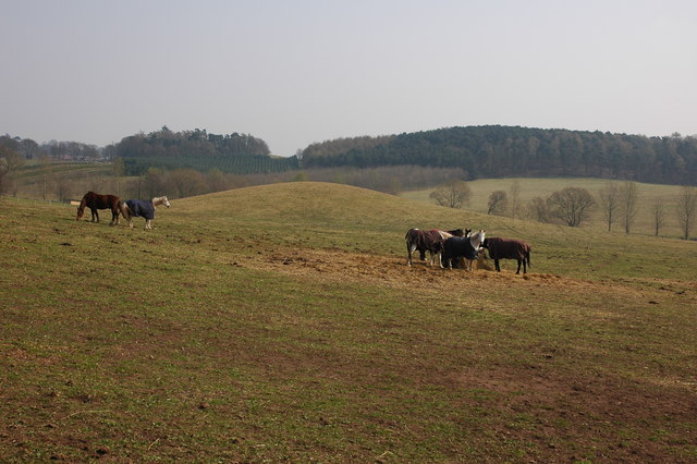
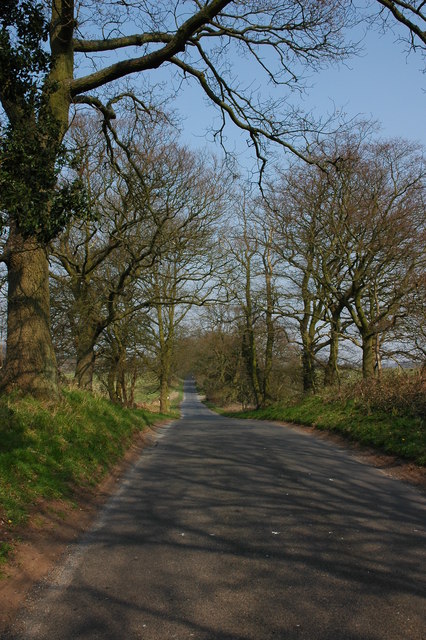
The village is surrounded by beautiful countryside, boasting rolling hills and scenic views, making it a popular destination for nature lovers and hikers. Churchill is also known for its charming and well-preserved historic buildings, such as the St. James Church, which dates back to the 12th century and is a prominent landmark in the area.
While primarily a residential village, Churchill offers some local amenities to its residents, including a village hall, a primary school, and a pub. The pub, named "The Churchill Arms," is a popular meeting place for locals and visitors alike, serving traditional British cuisine and providing a warm and friendly atmosphere.
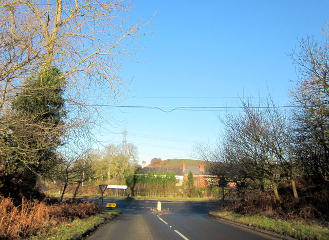
In terms of transportation, Churchill is well-connected to the surrounding areas by road, with the A448 passing through the village, providing easy access to nearby towns and cities. The closest railway station is located in Kidderminster, approximately 8 miles away, offering connections to larger cities such as Birmingham and Worcester.
Overall, Churchill, Worcestershire offers a tranquil and idyllic setting for those seeking a peaceful village lifestyle, surrounded by natural beauty and a strong sense of community.
If you have any feedback on the listing, please let us know in the comments section below.
Churchill Images
Images are sourced within 2km of 52.411491/-2.1806934 or Grid Reference SO8779. Thanks to Geograph Open Source API. All images are credited.


Churchill is located at Grid Ref: SO8779 (Lat: 52.411491, Lng: -2.1806934)
Administrative County: Worcestershire
District: Wyre Forest
Police Authority: West Mercia
What 3 Words
///typed.climbing.nation. Near Hagley, Worcestershire
Nearby Locations
Related Wikis
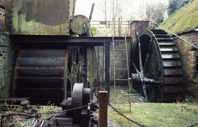
Churchill Forge Mill
Churchill Forge Mill, situated in the Worcestershire village of Churchill, is one of the last water-powered forge mills remaining in an intact state in...

Churchill, Wyre Forest
Churchill is a village and former civil parish, now in the parish of Churchill and Blakedown, in the Wyre Forest district of Worcestershire, England. It...
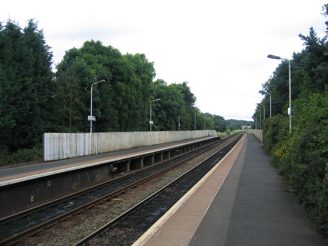
Blakedown railway station
Blakedown railway station serves the English village of Blakedown, Worcestershire. It was opened as Churchill in 1852, later becoming known for a time...

Blakedown
Blakedown is a village in the Wyre Forest District lying along the A456 in the north of the county of Worcestershire, England. Following enclosures and...
Nearby Amenities
Located within 500m of 52.411491,-2.1806934Have you been to Churchill?
Leave your review of Churchill below (or comments, questions and feedback).