Barne Copse
Wood, Forest in Devon Teignbridge
England
Barne Copse

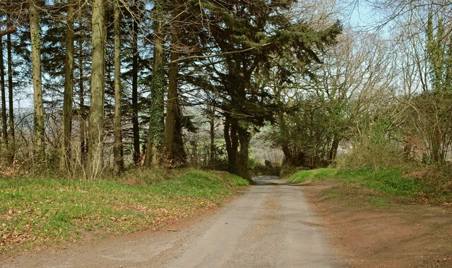
Barne Copse, located in Devon, England, is a charming woodland area renowned for its natural beauty and tranquil atmosphere. Spanning over a vast area, this copse is nestled within the picturesque South Hams region, offering visitors a serene escape from the bustling city life.
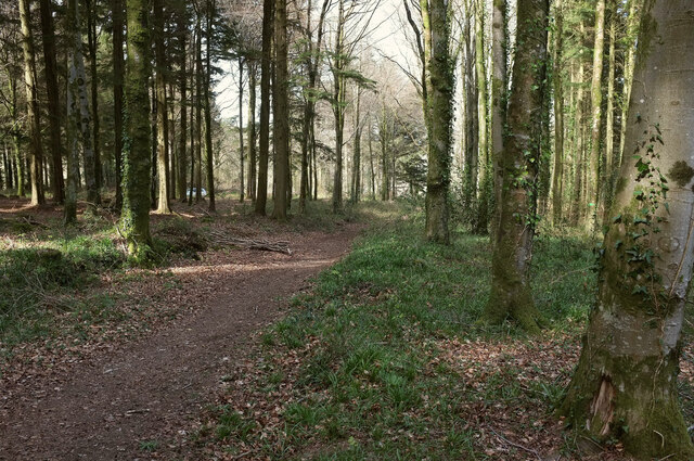
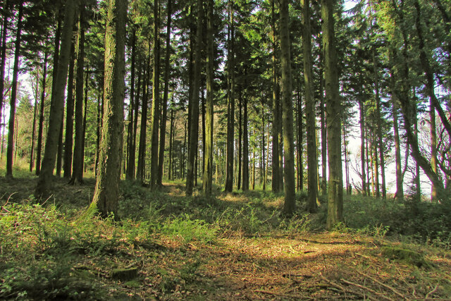
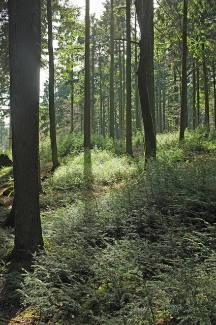
The copse is predominantly composed of broadleaf trees, including oak, beech, and ash, which create a dense canopy overhead. This lush vegetation provides a haven for a diverse range of flora and fauna, making it an ideal spot for nature enthusiasts and wildlife lovers. Walking along the well-maintained trails that wind through the copse, visitors can witness an abundance of woodland plants, such as bluebells, primroses, and ferns, blooming in their natural habitat.
In addition to its natural wonders, Barne Copse also boasts a rich history. It is believed that the area has been wooded since ancient times, and remnants of human activity, including old boundary banks and ditches, can still be found within the copse. These historical features add an intriguing element to the natural landscape and offer an insight into the region's past.
Barne Copse is a popular destination for walking, birdwatching, and picnicking, offering visitors a chance to immerse themselves in the tranquility of nature. With its enchanting beauty and peaceful ambiance, this woodland oasis in Devon undoubtedly provides a memorable and refreshing experience for all who venture within its leafy embrace.
If you have any feedback on the listing, please let us know in the comments section below.
Barne Copse Images
Images are sourced within 2km of 50.649733/-3.6605901 or Grid Reference SX8284. Thanks to Geograph Open Source API. All images are credited.


Barne Copse is located at Grid Ref: SX8284 (Lat: 50.649733, Lng: -3.6605901)
Administrative County: Devon
District: Teignbridge
Police Authority: Devon and Cornwall
What 3 Words
///cage.tangling.cheeses. Near Bovey Tracey, Devon
Nearby Locations
Related Wikis

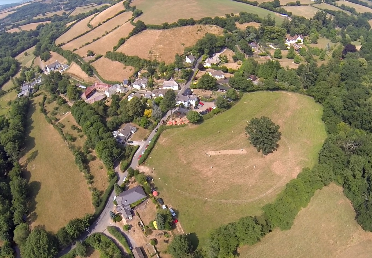
Christow
Christow is a village and civil parish in the Teignbridge district of Devon, England, about 12 miles (19 km) southwest of Exeter. The village is in the...
Lower Ashton
Lower Ashton is a village on the western slopes of Haldon in Teignbridge, Devon, England. Along with Higher Ashton it is part of the civil parish of Ashton...
Ashton railway station
Ashton railway station was a railway station serving the village of Ashton in Devon, England. It was located on the Teign Valley line. == History == The...

Bridford
Bridford is a village and civil parish in south west England, located in the Teign Valley, Devon on the edge of Dartmoor. The parish is surrounded (clockwise...
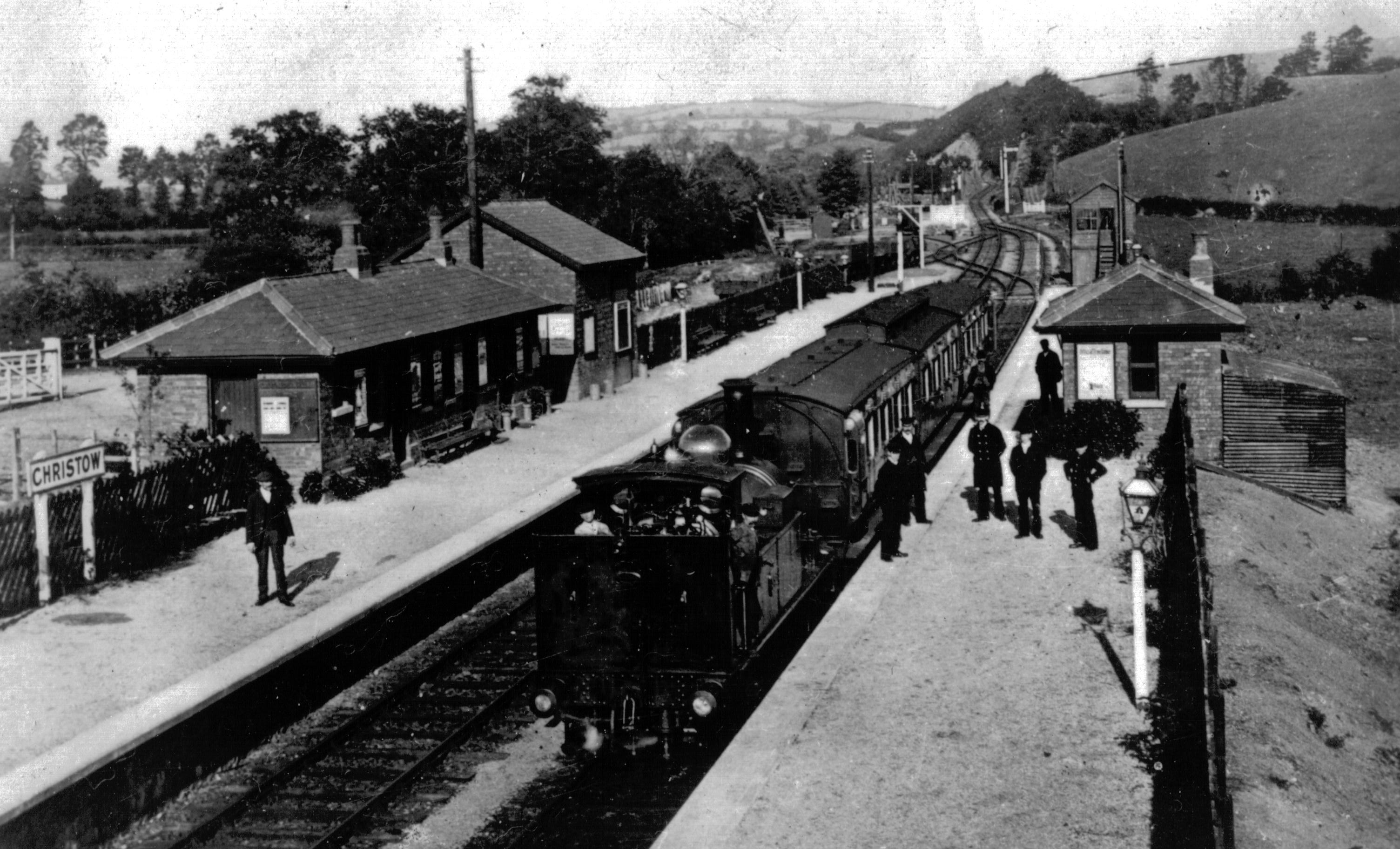
Christow railway station
Christow Railway Station's previously known as Teign House was a railway station serving the villages of Christow, Bridford and Doddiscombsleigh in Devon...

Canonteign Falls
Canonteign Falls is a waterfall in the historic tything of Canonteign in the Teign Valley and Dartmoor National Park near Chudleigh, South Devon, England...

Higher Ashton
Higher Ashton is a village on the western slopes of Haldon in Teignbridge, Devon, England. Along with Lower Ashton it is part of the civil parish of Ashton...
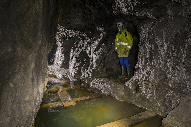
Great Rock Mine
Great Rock Mine is a disused micaceous haematite mine about 3 km north of the town of Bovey Tracey in Devon, England. It was worked from the nineteenth...
Nearby Amenities
Located within 500m of 50.649733,-3.6605901Have you been to Barne Copse?
Leave your review of Barne Copse below (or comments, questions and feedback).