Churchfields
Settlement in Wiltshire
England
Churchfields

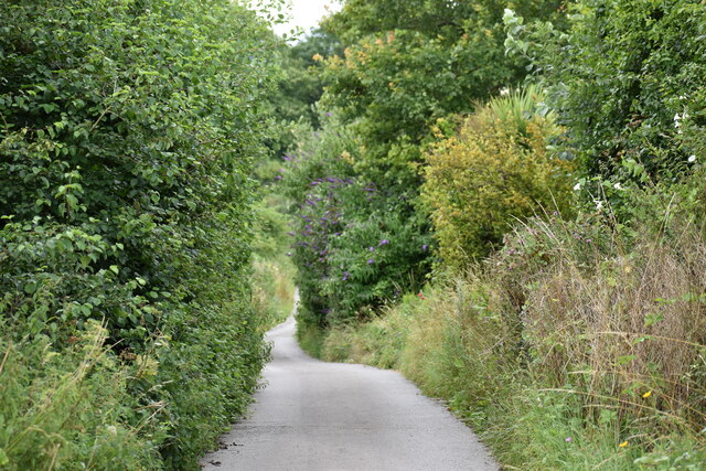
Churchfields is a small village located in the county of Wiltshire, England. Situated approximately 5 miles southeast of the town of Chippenham, it is nestled in the picturesque countryside of the South West region. The village is characterized by its idyllic setting, with rolling green fields, charming cottages, and a peaceful atmosphere.
The community of Churchfields is relatively small, with a population of around 300 residents. The village is primarily residential, with a mix of traditional stone houses and more modern properties. The local church, St. Mary's, is a prominent landmark in the area and serves as a centerpiece of the community.
Churchfields benefits from its close proximity to nature, with numerous walking and cycling trails in the surrounding countryside. The village is also conveniently located near several larger towns, offering residents access to a range of amenities and services. Chippenham, in particular, provides a variety of shops, restaurants, and leisure facilities.
The village has a strong sense of community, with a number of local events and activities organized throughout the year. These include summer fetes, Christmas markets, and regular gatherings at the village hall. The residents of Churchfields are known for their friendliness and welcoming nature.
Overall, Churchfields in Wiltshire offers a peaceful and rural lifestyle, combined with easy access to nearby towns. It is a desirable place to live for those seeking a close-knit community and a tranquil environment.
If you have any feedback on the listing, please let us know in the comments section below.
Churchfields Images
Images are sourced within 2km of 51.066336/-1.813727 or Grid Reference SU1329. Thanks to Geograph Open Source API. All images are credited.


Churchfields is located at Grid Ref: SU1329 (Lat: 51.066336, Lng: -1.813727)
Unitary Authority: Wiltshire
Police Authority: Wiltshire
What 3 Words
///dive.slug.nobody. Near Salisbury, Wiltshire
Nearby Locations
Related Wikis
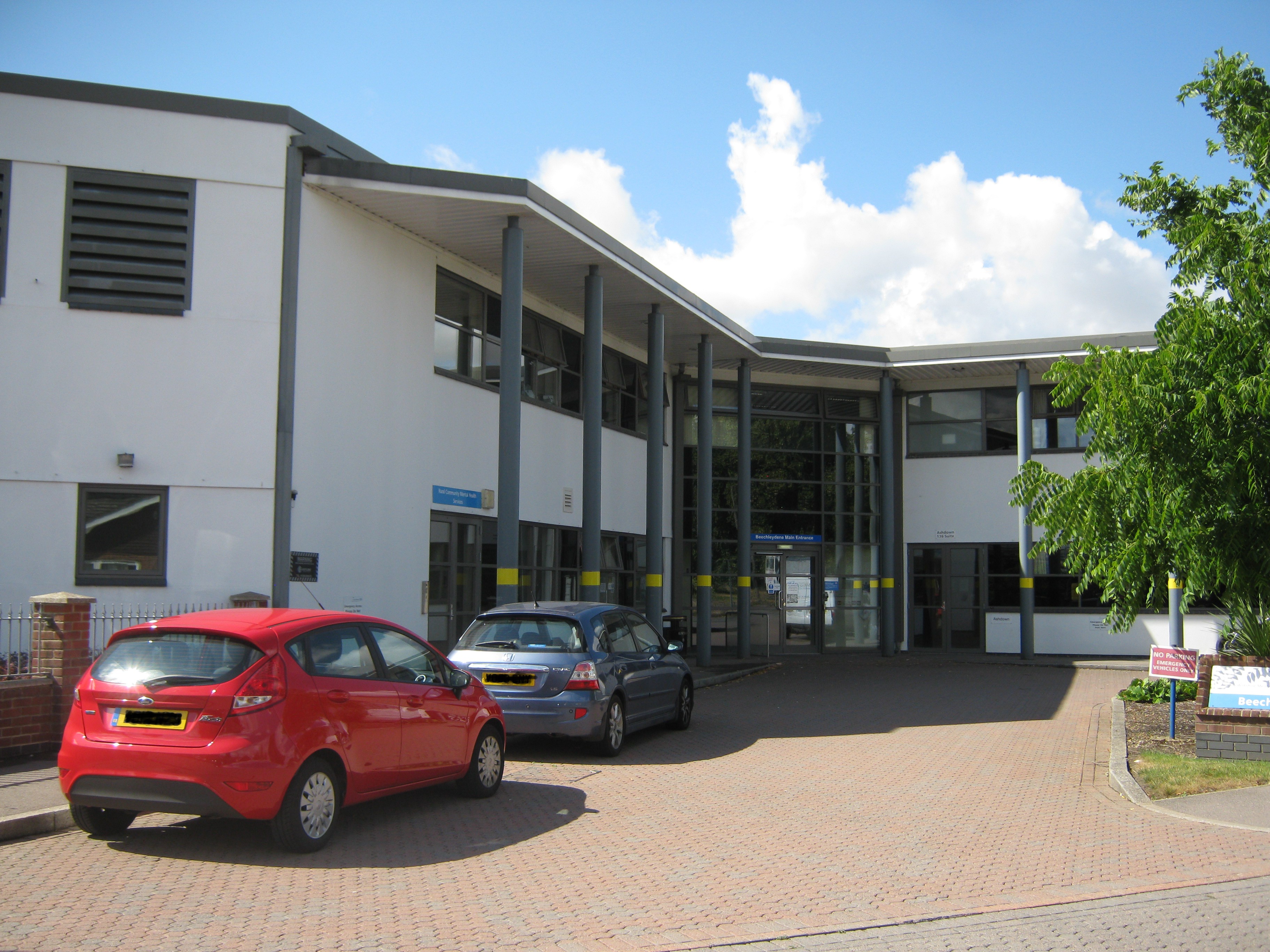
Fountain Way
Fountain Way is a mental health facility in Salisbury, Wiltshire, England. It is managed by the Avon and Wiltshire Mental Health Partnership NHS Trust...
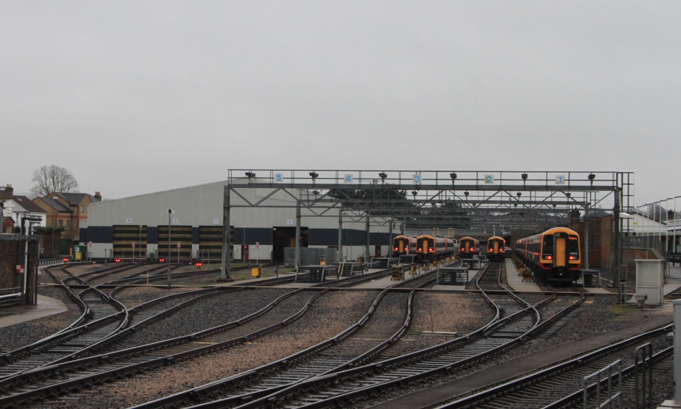
Salisbury TMD
Salisbury TMD is the South Western Railway traction maintenance depot in Salisbury, Wiltshire, England, situated on the north side of Salisbury railway...

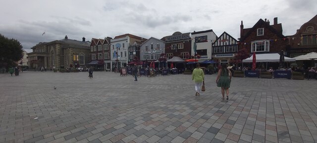
Salisbury railway station
Salisbury railway station serves the cathedral city of Salisbury in Wiltshire, England. It is 83 miles 43 chains (134.4 km) from London Waterloo on the...

Harnham
Harnham is a suburb of the city of Salisbury in Wiltshire, England, centred about 0.6 miles (1 km) south of Salisbury Cathedral and across the River Avon...
Related Videos

Salisbury Cathedral Walk, English Countryside 4K
https://www.buymeacoffee.com/Daveswalks All support is hugely appreciated and it helps me keep the channel going! No talking ...

Journey Through History: Salisbury to Amesbury via Stonehenge Walk | UK Walking Tours 🇬🇧
Embark on a captivating journey through time as we walk from Salisbury to Amesbury, passing by the iconic Stonehenge along ...

Salisbury - Walking Tour
VISIT OUR PARTNERS ⬇️⬇️⬇️ Need a place to stay? https://www.booking.com/index.html?aid=7918045 And how ...
![Salisbury Introduction Walk [Travel Guide] 2020](https://i.ytimg.com/vi/oFm5SmtOHNA/hqdefault.jpg)
Salisbury Introduction Walk [Travel Guide] 2020
Salisbury is a cathedral city in Wiltshire, England, with a population of 40302, at the confluence of the rivers Avon, Nadder and ...
Nearby Amenities
Located within 500m of 51.066336,-1.813727Have you been to Churchfields?
Leave your review of Churchfields below (or comments, questions and feedback).