Aller Coppice

Wood, Forest in Devon North Devon

England

Aller Coppice

Molland : Methodist Chapel It appears to no longer be in use.
Molland : Methodist Chapel Credit: Lewis Clarke

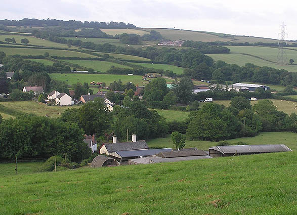
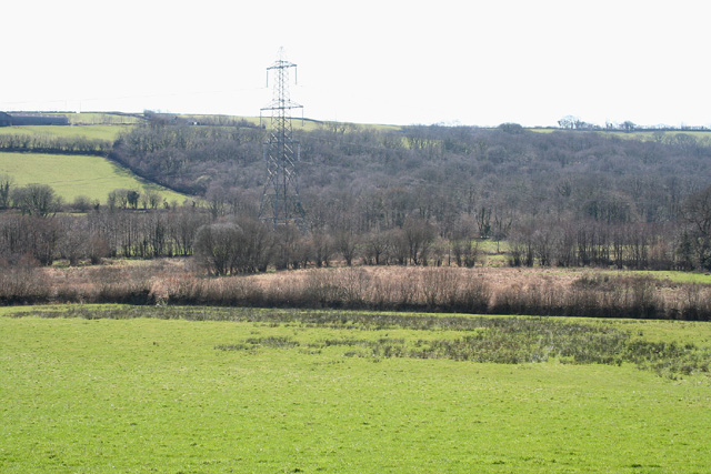
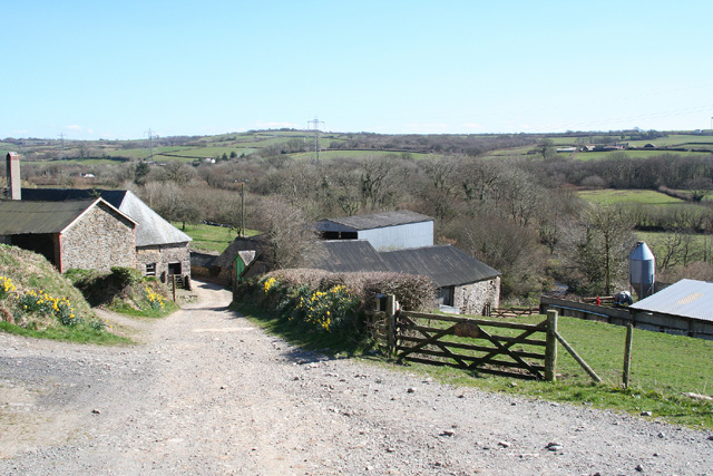
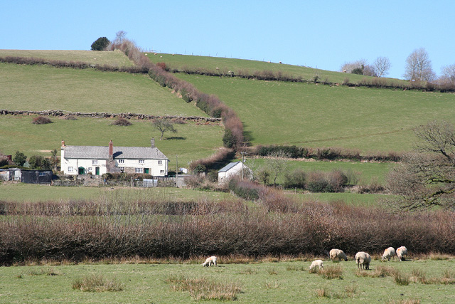
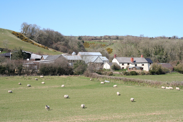
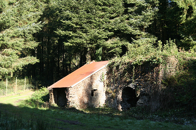
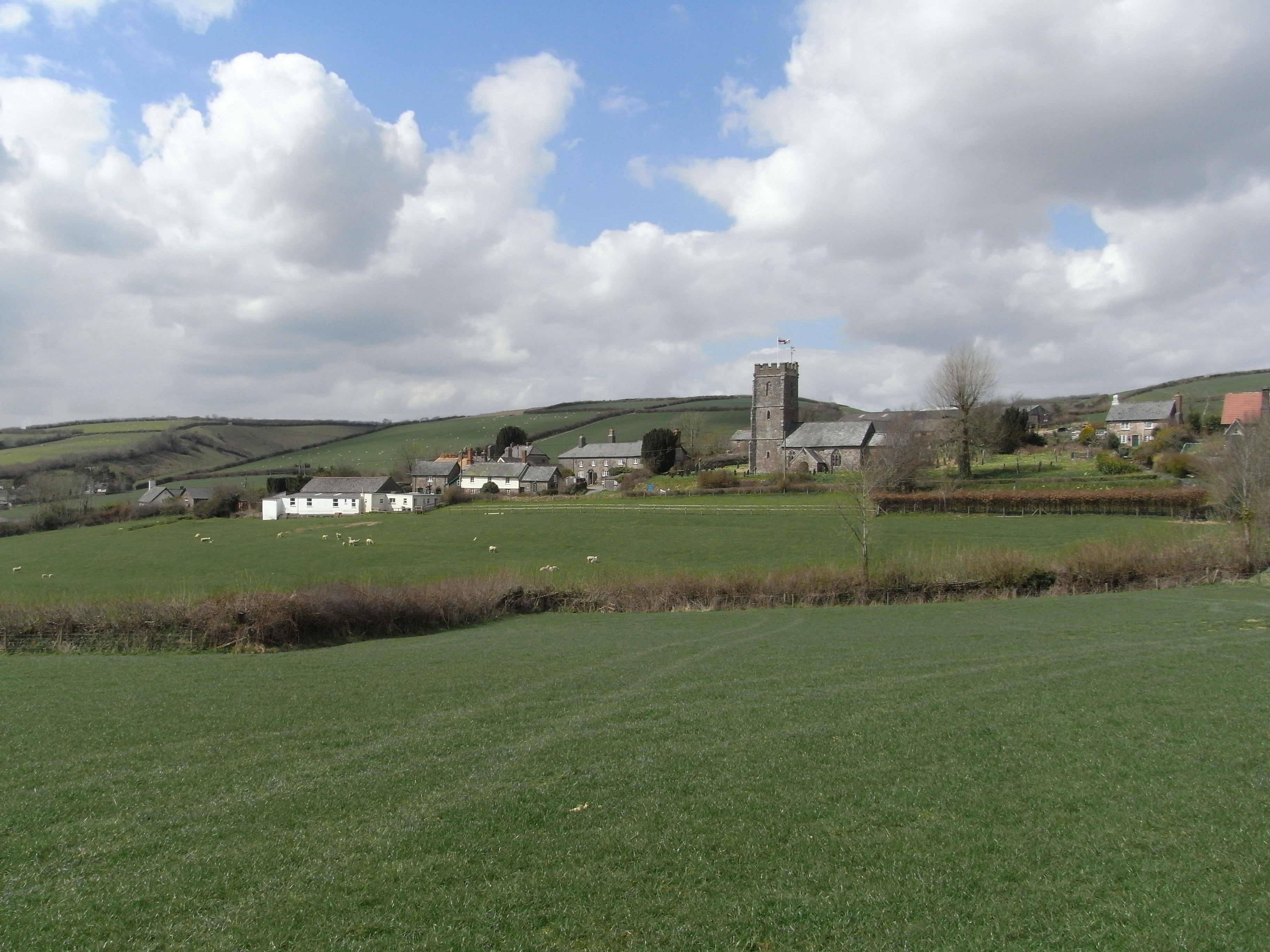
Aller Coppice is a picturesque woodland located in Devon, England. Spanning across an area of approximately 50 acres, it is a haven for nature lovers and outdoor enthusiasts. The coppice is situated in the heart of Devon, surrounded by rolling hills and meandering streams.

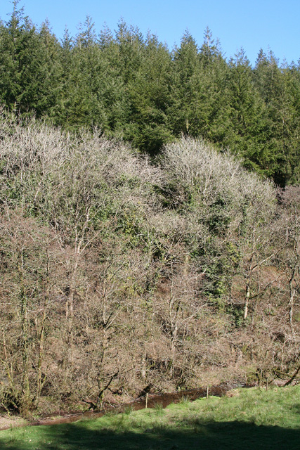
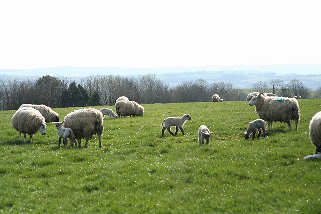
The woodland is predominantly composed of native tree species such as oak, beech, and ash, creating a diverse and vibrant ecosystem. The dense canopy provides a sheltered environment for a variety of flora and fauna, making it a perfect habitat for woodland creatures like deer, badgers, and a wide range of bird species.

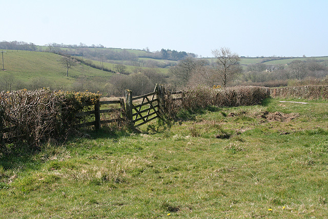
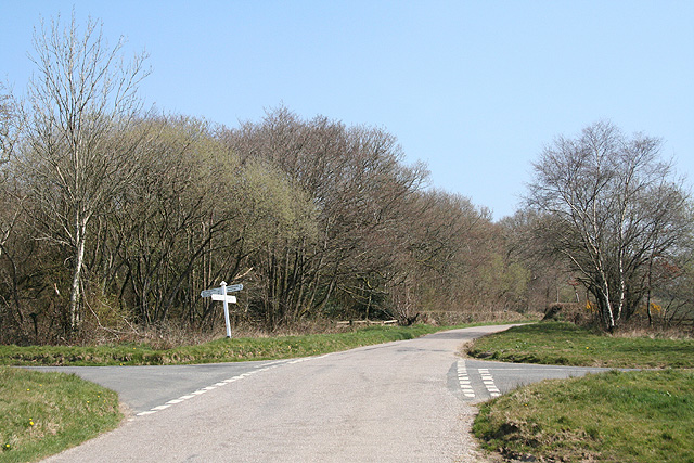
Visitors to Aller Coppice can enjoy a network of well-maintained trails that meander through the woods, offering a chance to explore its natural beauty. The paths are suitable for all levels of walkers, from leisurely strolls to more challenging hikes. Along the way, hikers may encounter charming wooden bridges, babbling brooks, and hidden clearings, adding to the enchanting atmosphere of the woodland.

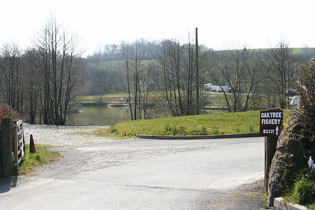
In addition to its natural beauty, Aller Coppice is also home to a small pond, which serves as a watering hole for local wildlife and provides an ideal spot for peaceful reflection. The pond is often visited by ducks and other waterfowl, captivating visitors with their graceful presence.

Aller Coppice is an idyllic escape from the hustle and bustle of everyday life, offering a tranquil sanctuary where visitors can immerse themselves in the beauty of nature. Whether it's a leisurely stroll or a day of exploration, this woodland is a must-visit destination for nature enthusiasts seeking solace in the heart of Devon.

If you have any feedback on the listing, please let us know in the comments section below.

Aller Coppice Images

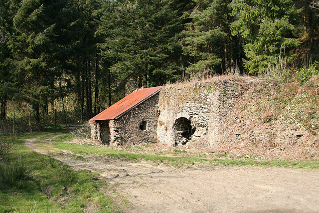
Images are sourced within 2km of 51.030058/-3.6775294 or Grid Reference SS8226. Thanks to Geograph Open Source API. All images are credited.

Molland : Methodist Chapel It appears to no longer be in use.
Molland : Methodist Chapel
It appears to no longer be in use.
Molland: leat to Bremley Possibly an old mining leat which has been retained for farm use. Bremley was scene of mining activity in the 19th century
Molland: leat to Bremley
Possibly an old mining leat which has been retained for farm use. Bremley was scene of mining activity in the 19th century
Molland: Bremley Farm Copper was mined near here in the mid-19th century and iron ore from 1878 until 1894. A leat still runs to the farm, which may have used water power at one time. The farm appeared to be unoccupied when the photograph was taken in 1996
Molland: Bremley Farm
Copper was mined near here in the mid-19th century and iron ore from 1878 until 1894. A leat still runs to the farm, which may have used water power at one time. The farm appeared to be unoccupied when the photograph was taken in 1996
Yeo Mills looking SW across the valley
Molland: near Hall Looking south west from the Bottreaux Mill – Molland road, a little west of Hall
Molland: near Hall
Looking south west from the Bottreaux Mill – Molland road, a little west of Hall
Molland: West Lee Farm and driveway, looking south east
Molland: West Lee
Farm and driveway, looking south east
Molland: Beere Wood Plantation seen from East Lee Wood, across the valley to the west. By the road from Beere Cross to Bremley, looking south east
Molland: Beere Wood
Plantation seen from East Lee Wood, across the valley to the west. By the road from Beere Cross to Bremley, looking south east
West Anstey: Bidbrook By the entrance to the farm, looking north-north-east
West Anstey: Bidbrook
By the entrance to the farm, looking north-north-east
Molland: East Lee Looking north from a point a little east of Bottreaux Mill
Molland: East Lee
Looking north from a point a little east of Bottreaux Mill
West Anstey: Slade Seen from Balls Corner, looking north east
West Anstey: Slade
Seen from Balls Corner, looking north east
Molland: limekiln, Zeal Wood Looking north-north-east by the road from Bottreaux Mill to Molland village
Molland: limekiln, Zeal Wood
Looking north-north-east by the road from Bottreaux Mill to Molland village
West Anstey: ewes and lambs Near Overwell, looking south west
West Anstey: ewes and lambs
Near Overwell, looking south west
Bishop’s Nympton: entrance to Oaktree Fishery Developed, it appears, since 1990 – not featured on the 1: 25000 O/S map of that vintage – the proprietors here offer bed and breakfast in addition to fishing. Looking south opposite the entrance to Bullaford
Bishop’s Nympton: entrance to Oaktree Fishery
Developed, it appears, since 1990 – not featured on the 1: 25000 O/S map of that vintage – the proprietors here offer bed and breakfast in addition to fishing. Looking south opposite the entrance to Bullaford
Molland: by Bommertown Cross Looking west-south-west
Molland: by Bommertown Cross
Looking west-south-west
Molland: Bommertown Cross Looking east-north-east on the road to Yeo Mill, Oldways End and East Anstey. Left for Bottreaux Mill and Molland; right for Knowstone
Molland: Bommertown Cross
Looking east-north-east on the road to Yeo Mill, Oldways End and East Anstey. Left for Bottreaux Mill and Molland; right for Knowstone
Molland: towards East Barton Looking north-north-east by the entrance to the farm, with Exmoor beyond
Molland: towards East Barton
Looking north-north-east by the entrance to the farm, with Exmoor beyond
Molland: limekiln in Zeal Wood Now on Forestry Commission land. Looking north
Molland: limekiln in Zeal Wood
Now on Forestry Commission land. Looking north
Molland: towards North Stone Looking north-north-east. The farmhouse is beyond the square
Molland: towards North Stone
Looking north-north-east. The farmhouse is beyond the square
Show me another place!

Aller Coppice is located at Grid Ref: SS8226 (Lat: 51.030058, Lng: -3.6775294)

Administrative County: Devon

District: North Devon

Police Authority: Devon and Cornwall

What 3 Words

///trucks.flatten.liquid. Near Dulverton, Somerset

Related Wikis

Molland

Molland is a small village, civil parish, dual ecclesiastical parish with Knowstone, located in the foothills of Exmoor in Devon, England. It lies within...

West Anstey

West Anstey is a village and civil parish on the River Yeo, about 5 miles west of Dulverton, in the North Devon district, in the county of Devon, England...

Knowstone

Knowstone is a village and civil parish situated in the North Devon district of Devon, England, halfway between the Mid Devon town of Tiverton, Devon and...

Oldways End

Oldways End is a hamlet in the civil parish of East Anstey in the North Devon district of Devon, England. Its nearest town is Tiverton, which lies approximately...

East Anstey

East Anstey is a village and civil parish in the North Devon district of Devon, England. The parish is located in an area which has been designated as...

Bickingcott

Bickingcott is a village in Devon, England. == External links == Media related to Bickingcott at Wikimedia Commons

Roachill

Roachill is a hamlet in the civil parish of Knowstone in the North Devon district of Devon, England. Its nearest town is Tiverton, which lies approximately...

Church of St Giles, Hawkridge

The Anglican Church of St Giles in Hawkridge, Somerset, England was built in the 14th century. It is a Grade II* listed building. == History == The oldest...

Nearby Amenities

Located within 500m of 51.030058,-3.6775294
Generator Method: photovoltaic
Generator Output Electricity: yes
Generator Source: solar
Generator Type: solar_photovoltaic_panel
Location: roof
Power: generator
Lat/Long: 51.029674/-3.6745888
Generator Method: photovoltaic
Generator Output Electricity: yes
Generator Source: solar
Generator Type: solar_photovoltaic_panel
Location: roof
Power: generator
Lat/Long: 51.0296694/-3.6745653
Generator Method: photovoltaic
Generator Output Electricity: yes
Generator Source: solar
Generator Type: solar_photovoltaic_panel
Location: roof
Power: generator
Lat/Long: 51.0296201/-3.6745982
Generator Method: photovoltaic
Generator Output Electricity: yes
Generator Source: solar
Generator Type: solar_photovoltaic_panel
Location: roof
Power: generator
Lat/Long: 51.0296289/-3.674627
Power: pole
Source: bing
Lat/Long: 51.0277429/-3.6714705
Power: pole
Source: bing
Lat/Long: 51.0282241/-3.6720663
Power: pole
Source: bing
Transformer: distribution
Lat/Long: 51.0294384/-3.6756151
Power: pole
Source: bing
Lat/Long: 51.0287383/-3.6727237
Power: pole
Source: bing
Lat/Long: 51.0287325/-3.6740924
Power: pole
Source: bing
Lat/Long: 51.0287577/-3.6768698
Power: pole
Source: bing
Lat/Long: 51.0287441/-3.675495
Power: pole
Source: bing
Lat/Long: 51.0258207/-3.6799213
Power: pole
Source: bing
Lat/Long: 51.0265683/-3.679695
Power: pole
Source: bing
Lat/Long: 51.0273042/-3.6795287
Power: pole
Source: bing
Lat/Long: 51.028105/-3.6793578
Power: pole
Source: bing
Lat/Long: 51.0287654/-3.6777305
Power: pole
Source: bing
Lat/Long: 51.0287712/-3.6792177
Power: pole
Source: bing
Lat/Long: 51.0287809/-3.6808373
Power: pole
Source: bing
Lat/Long: 51.0285843/-3.6821229
Power: pole
Source: bing
Lat/Long: 51.0283616/-3.6835254
The data included in this document is from www.openstreetmap.org. The data is made available under ODbL.

Have you been to Aller Coppice?

Leave your review of Aller Coppice below (or comments, questions and feedback).