Churchend

Settlement in Essex Uttlesford

England

Churchend

TESCO Great Dunmow
TESCO Great Dunmow Credit: Andrew Tatlow

Churchend is a small village located in the county of Essex, England. Situated approximately 24 miles northeast of London, it falls within the borough of Basildon. With a population of around 1,500 residents, it has a close-knit and friendly community.

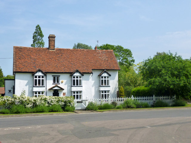
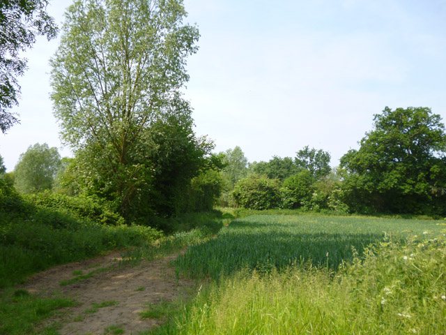
The village is characterized by its picturesque rural setting, surrounded by beautiful countryside and farmland. It boasts a tranquil atmosphere, making it an ideal place for those seeking a peaceful and idyllic lifestyle away from the hustle and bustle of the city.

Churchend is home to a historic Anglican church, which dates back to the 12th century. The church, dedicated to St. Mary and St. Julian, is a prominent landmark and a significant part of the village's heritage. Its architectural beauty and peaceful surroundings make it a popular spot for visitors and worshipers alike.

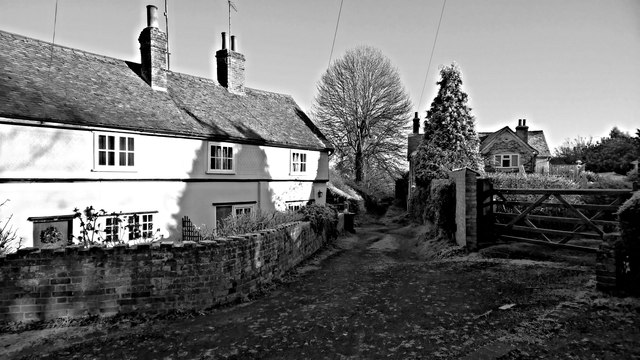
Although small, the village has a range of amenities to cater to the needs of its residents. These include a village hall, a primary school, a local pub, and several small shops. Additionally, there are various recreational facilities, such as a cricket pitch and a playground, providing opportunities for outdoor activities and community gatherings.

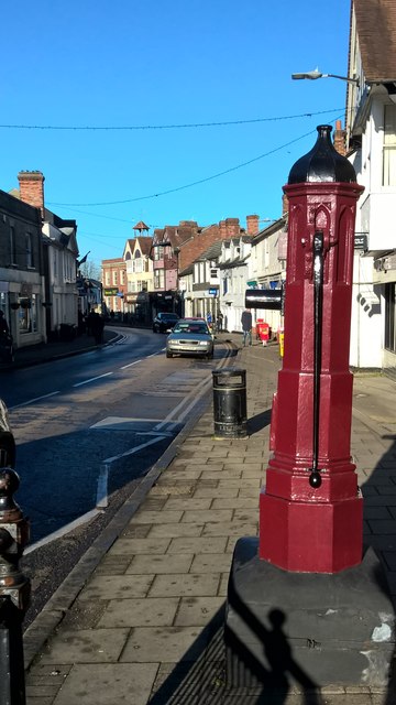
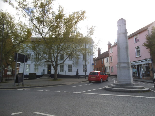
For those seeking further amenities and services, nearby towns such as Billericay and Basildon offer a wider range of options. The village benefits from good transportation links, with easy access to major roads, including the A127 and A13, making it convenient for commuters.

Overall, Churchend, Essex, offers a charming and peaceful living environment with a strong sense of community, making it an appealing place to reside for those who value tranquility and a close-knit community spirit.

If you have any feedback on the listing, please let us know in the comments section below.
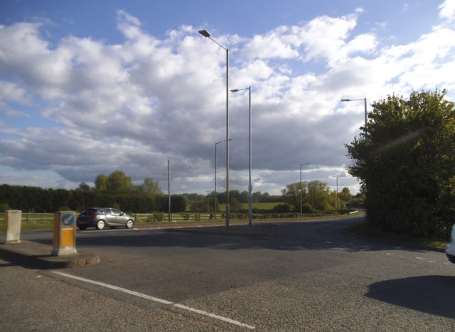
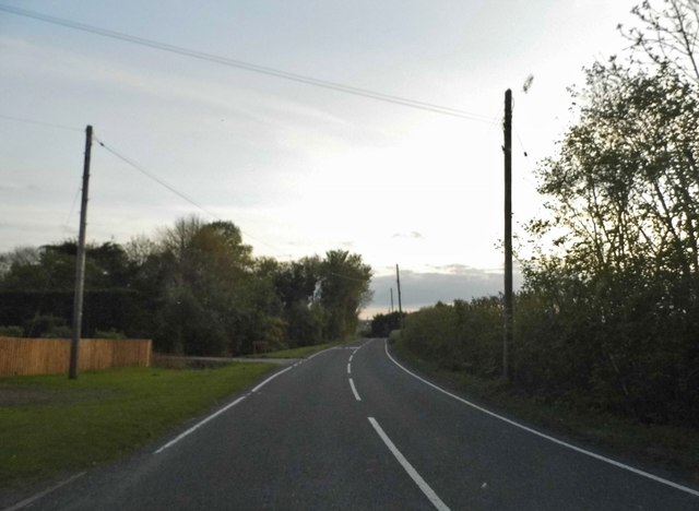
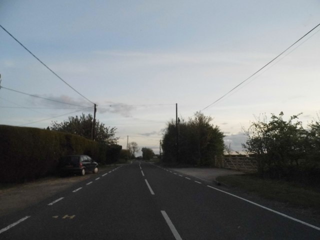
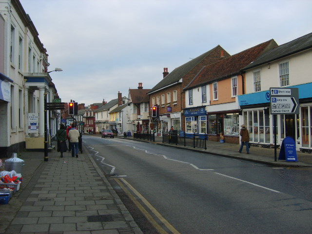
Churchend Images

Images are sourced within 2km of 51.880891/0.36824465 or Grid Reference TL6322. Thanks to Geograph Open Source API. All images are credited.

TESCO Great Dunmow
TESCO Great Dunmow
TESCO car park Great Dunmow
New houses, Great Dunmow The recent residential enlargement of Great Dunmow to the north-west spreads further north.
New houses, Great Dunmow
The recent residential enlargement of Great Dunmow to the north-west spreads further north.
Mawbyns, Duck Street, Little Easton A 16th century timber framed house, with several alterations over the years. Grade II listed.
Mawbyns, Duck Street, Little Easton
A 16th century timber framed house, with several alterations over the years. Grade II listed.
Field by the B184 It looks like wheat growing.
Field by the B184
It looks like wheat growing.
Frosty lane, Great Dunmow
Pump, High Street, Great Dunmow
Resting on thin ice, or taking a cold bath!
Rosemary Lane, Great Dunmow
New Street at the junction of Great Dunmow High Street
Houses on High Street, Great Dunmow
Junction on Braintree Road, Great Dunmow
Houses on The Downs, Great Dunmow
Rosemary Close, Great Dunmow
The Broadway entering Dunmow
The Broadway, Great Dunmow
The Broadway entering Dunmow
Show me another place!

Churchend is located at Grid Ref: TL6322 (Lat: 51.880891, Lng: 0.36824465)

Administrative County: Essex

District: Uttlesford

Police Authority: Essex

What 3 Words

///boom.slower.remainder. Near Great Dunmow, Essex

Nearby Locations

Merks Hill Wood Churchend

Related Wikis

Church End Mill, Great Dunmow

Church End Mill is a grade II listed Tower mill at Great Dunmow, Essex, England which has been converted to residential use. == History == Church End Mill...

Helena Romanes School

Helena Romanes School (also known/abbreviated as HRS) is a coeducational all-through school and sixth form. It is situated in Great Dunmow in the English...

Old Town Hall, Great Dunmow

The Old Town Hall is a municipal building in the Market Place, Great Dunmow, Essex, England. The structure, which is now in retail use, is a Grade II listed...

Great Dunmow

Great Dunmow is a historic market town and civil parish in the Uttlesford district of Essex, England. It lies to the north of the A120 road, approximately...

Nearby Amenities

Located within 500m of 51.880891,0.36824465
Mini Roundabout
Direction: clockwise
Lat/Long: 51.8785543/0.3621492
Church End
Place: hamlet
Lat/Long: 51.8802466/0.3666472
Bus Stop
The Causeway
Bus: yes
Naptan AtcoCode: 150018016015
Naptan Bearing: S
Naptan CommonName: The Causeway
Naptan Crossing: Godfrey Way
Naptan Indicator: S-bound
Naptan Landmark: The Causeway
Naptan NaptanCode: esxdamtm
Naptan Street: The Causeway
Naptan Verified: no
Public Transport: platform
Source: naptan_import
Lat/Long: 51.8789053/0.3622705
Bus Stop
The Broadway
Bus: yes
Naptan AtcoCode: 1500IM676
Naptan Bearing: NW
Naptan CommonName: Church End
Naptan Indicator: Adj
Naptan Landmark: Church End
Naptan NaptanCode: esxdgapj
Naptan Street: St. Edmunds Lane
Naptan Verified: no
Public Transport: platform
Source: naptan_import
Lat/Long: 51.8804337/0.3694176
Bus Stop
The Broadway
Bus: yes
Naptan AtcoCode: 1500IM676AA
Naptan Bearing: SE
Naptan BusStopType: CUS
Naptan CommonName: Church End
Naptan Indicator: Opp
Naptan Landmark: Church End
Naptan NaptanCode: esxgpmdt
Naptan Street: St. Edmunds Lane
Naptan Verified: no
Public Transport: platform
Source: naptan_import
Lat/Long: 51.8804592/0.3694916
Bus Stop
The Causeway
Bus: yes
Naptan AtcoCode: 1500IM677
Naptan Bearing: N
Naptan CommonName: The Causeway
Naptan Crossing: Godfrey Way
Naptan Indicator: N-bound
Naptan Landmark: The Causeway
Naptan NaptanCode: esxdamtp
Naptan Street: The Causeway
Naptan Verified: no
Public Transport: platform
Source: naptan_import
Lat/Long: 51.8792496/0.3621192
Tourism: picnic_site
Lat/Long: 51.8773284/0.3674019
Barrier: kissing_gate
Lat/Long: 51.8794383/0.3656204
Barrier: kissing_gate
Lat/Long: 51.8847073/0.3662907
Barrier: kissing_gate
Lat/Long: 51.8844497/0.3659903
Power: pole
Lat/Long: 51.8793133/0.3660974
Power: pole
Lat/Long: 51.8782646/0.3665344
Power: pole
Lat/Long: 51.8773944/0.3666551
Power: pole
Lat/Long: 51.8809718/0.3733834
Power: pole
Lat/Long: 51.8796331/0.3722569
Power: pole
Lat/Long: 51.8782534/0.3710968
Power: pole
Lat/Long: 51.8803128/0.3728463
Power: pole
Lat/Long: 51.8770947/0.3682718
Power: pole
Lat/Long: 51.8789555/0.3716896
Power: pole
Lat/Long: 51.8824847/0.3746514
Power: pole
Lat/Long: 51.8817557/0.3740372
Power: pole
Lat/Long: 51.8775666/0.3694345
Power: pole
Lat/Long: 51.8791023/0.3718125
Man Made: windmill
Lat/Long: 51.8772008/0.3721649
Crossing
Crossing: unmarked
Crossing Island: yes
Tactile Paving: yes
Lat/Long: 51.8789065/0.3621892
Crossing
Crossing: unmarked
Crossing Island: yes
Tactile Paving: yes
Lat/Long: 51.87981/0.3622063
Direction: both
Traffic Calming: table
Lat/Long: 51.8783147/0.3711794
Colour: yellow
Inscription: GAS MP GAS PIPELINE
Marker: post
Material: plastic
Utility: gas
Lat/Long: 51.8804101/0.3666724
Colour: yellow
Inscription: GAS LP GAS PIPELINE
Marker: post
Material: plastic
Utility: gas
Lat/Long: 51.8804735/0.3667077
Colour: yellow
Marker: post
Material: concrete
Utility: gas
Lat/Long: 51.8804038/0.366404
Colour: yellow
Marker: post
Material: plastic
Utility: gas
Lat/Long: 51.8804582/0.3664315
Power: pole
Lat/Long: 51.8804777/0.3666716
Power: pole
Lat/Long: 51.8804612/0.3663661
The data included in this document is from www.openstreetmap.org. The data is made available under ODbL.

Have you been to Churchend?

Leave your review of Churchend below (or comments, questions and feedback).