Eastern Smallacombe Wood

Wood, Forest in Devon North Devon

England

Eastern Smallacombe Wood

Molland : Grassy Field Looking across the countryside.
Molland : Grassy Field Credit: Lewis Clarke

Eastern Smallacombe Wood is a picturesque woodland located in the county of Devon, England. The wood is nestled in the heart of the stunning Dartmoor National Park, renowned for its natural beauty and diverse wildlife.

Covering an area of approximately 50 acres, Eastern Smallacombe Wood is a mix of ancient oak woodland and newer plantations. The wood is home to a rich array of flora and fauna, with a variety of tree species such as oak, beech, and birch dominating the landscape. The woodland floor is adorned with a carpet of bluebells and other wildflowers during the spring months, creating a vibrant and colorful display.

The wood is crisscrossed with a network of footpaths and trails, providing visitors with the opportunity to explore its natural wonders. Walking through the peaceful surroundings, visitors may encounter a wide range of wildlife, including deer, badgers, foxes, and numerous bird species. The wood also supports a diverse range of insects and invertebrates, making it a haven for nature enthusiasts and photographers.

Eastern Smallacombe Wood offers a tranquil retreat from the hustle and bustle of daily life, providing a serene environment for relaxation and reflection. The wood is a popular destination for local residents and visitors alike, offering a chance to immerse oneself in nature and enjoy the beauty of the surrounding landscape.

Overall, Eastern Smallacombe Wood is a charming woodland in Devon, offering a delightful combination of ancient trees, vibrant wildflowers, and an abundance of wildlife, making it a must-visit destination for nature lovers and outdoor enthusiasts.

If you have any feedback on the listing, please let us know in the comments section below.

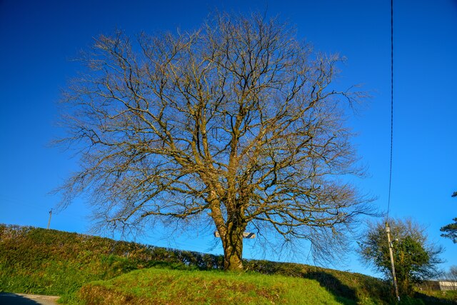
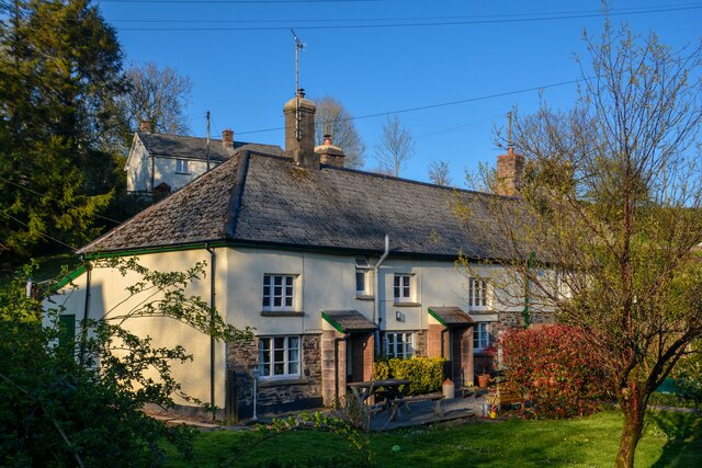
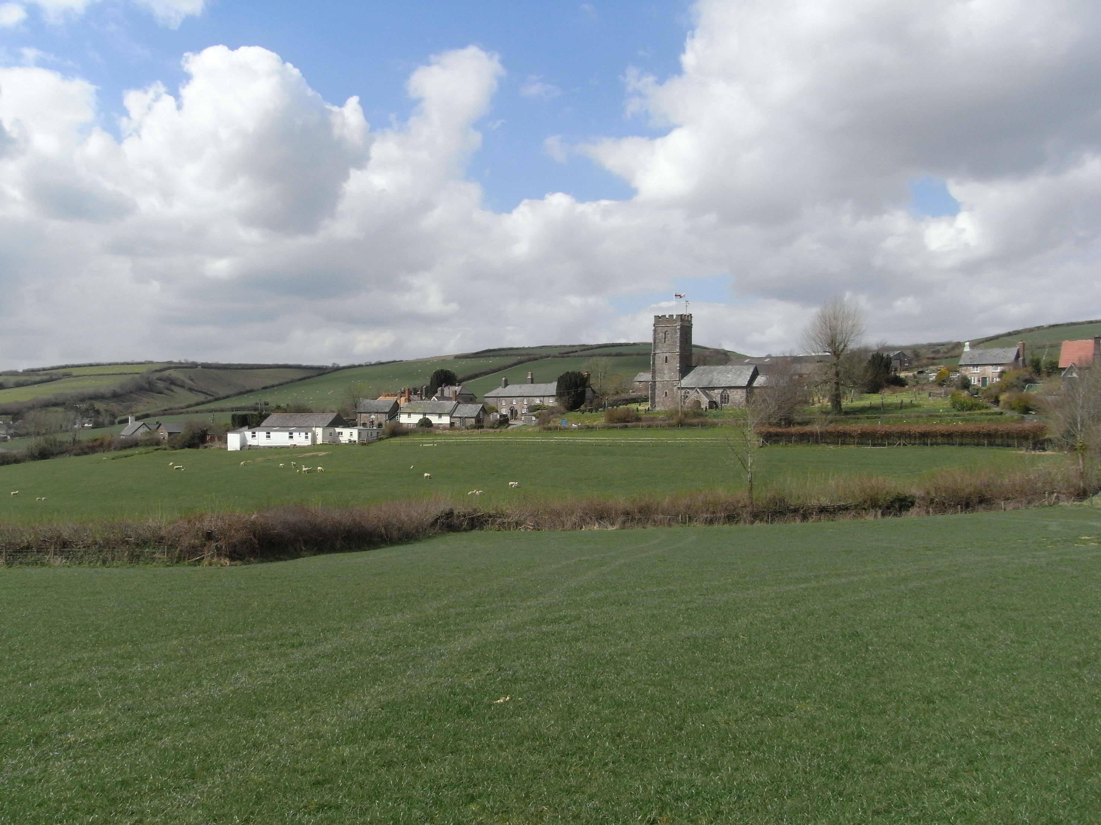
Eastern Smallacombe Wood Images

Images are sourced within 2km of 51.047007/-3.6870441 or Grid Reference SS8128. Thanks to Geograph Open Source API. All images are credited.

Molland : Grassy Field Looking across the countryside.
Molland : Grassy Field
Looking across the countryside.
Molland : St Mary's Church The medieval church of St Mary stands on the hill, overlooking a picture-postcard village. The church is entirely 15th-16th century, replacing an earlier church of which nothing remains but the Norman font and a pair of medieval bells.
Molland : St Mary's Church
The medieval church of St Mary stands on the hill, overlooking a picture-postcard village. The church is entirely 15th-16th century, replacing an earlier church of which nothing remains but the Norman font and a pair of medieval bells.
Molland : Grassy Bank A place to sit beside the road.
Molland : Grassy Bank
A place to sit beside the road.
Molland : Country Lane Looking along a small country lane in Molland.
Molland : Country Lane
Looking along a small country lane in Molland.
Molland : Tree A tree in the middle of the road junction.
Molland : Tree
A tree in the middle of the road junction.
Molland : The Old Post Office Molland Botreaux Post Office and - Sunnymead Cottage II House, latterly 3 cottages, now 2 cottages including post office. Early C17 with late C17 or early C18 addition, minor late C18 addition and some late C20 alterations. <span class="nowrap"><a title="https://historicengland.org.uk/listing/the-list/list-entry/1213513?section=official-list-entry" rel="nofollow ugc noopener" href="https://historicengland.org.uk/listing/the-list/list-entry/1213513?section=official-list-entry">Link</a><img style="margin-left:2px;" alt="External link" title="External link - shift click to open in new window" src="https://s1.geograph.org.uk/img/external.png" width="10" height="10"/></span>
Molland : The Old Post Office
Molland Botreaux Post Office and - Sunnymead Cottage II House, latterly 3 cottages, now 2 cottages including post office. Early C17 with late C17 or early C18 addition, minor late C18 addition and some late C20 alterations. LinkExternal link
Molland : Country Lane A country lane passes through Molland.
Molland : Country Lane
A country lane passes through Molland.
Molland : Houses Houses in the settlement of Molland.
Molland : Houses
Houses in the settlement of Molland.
Molland : Road A road heading through Molland.
Molland : Road
A road heading through Molland.
Molland : West Molland Lane A road heading into Molland.
Molland : West Molland Lane
A road heading into Molland.
Molland : West Molland Lane Looking along West Molland Lane.
Molland : West Molland Lane
Looking along West Molland Lane.
Molland : Great Champson Looking across the fields and farm at Great Champson.
Molland : Great Champson
Looking across the fields and farm at Great Champson.
Molland : Cussacombe Common Looking across the common and beyond.
Molland : Cussacombe Common
Looking across the common and beyond.
Molland : Cussacombe Common A right of way heads across the common.
Molland : Cussacombe Common
A right of way heads across the common.
Molland : Cussacombe Common Looking along a right of way heading down the hill.
Molland : Cussacombe Common
Looking along a right of way heading down the hill.
Molland : Cussacombe Common A right of way heads up the hill.
Molland : Cussacombe Common
A right of way heads up the hill.
Molland : Cussacombe Common A right of way heads up the hill from here.
Molland : Cussacombe Common
A right of way heads up the hill from here.
Molland : Grassy Field Looking out across a grassy field beyond the gate.
Molland : Grassy Field
Looking out across a grassy field beyond the gate.
Show me another place!

Eastern Smallacombe Wood is located at Grid Ref: SS8128 (Lat: 51.047007, Lng: -3.6870441)

Administrative County: Devon

District: North Devon

Police Authority: Devon and Cornwall

What 3 Words

///napped.influencing.barbarian. Near Dulverton, Somerset

Related Wikis

Molland

Molland is a small village, civil parish, dual ecclesiastical parish with Knowstone, located in the foothills of Exmoor in Devon, England. It lies within...

West Anstey

West Anstey is a village and civil parish on the River Yeo, about 5 miles west of Dulverton, in the North Devon district, in the county of Devon, England...

Bickingcott

Bickingcott is a village in Devon, England. == External links == Media related to Bickingcott at Wikimedia Commons

Twitchen, Devon

Twitchen is a village and civil parish in Devon, England, located within the North Devon local authority area. Historically it formed part of South Molton...

Nearby Amenities

Located within 500m of 51.047007,-3.6870441
Ford: yes
Lat/Long: 51.0493872/-3.6909167
Barrier: stile
Lat/Long: 51.0479495/-3.6934512
Power: pole
Source: bing
Lat/Long: 51.0485936/-3.6935157
Power: pole
Source: bing
Lat/Long: 51.0483031/-3.6920846
Power: pole
Source: bing
Transformer: distribution
Lat/Long: 51.0480988/-3.6910926
Power: pole
Source: bing
Lat/Long: 51.0472969/-3.6903393
Power: pole
Source: bing
Lat/Long: 51.0464892/-3.6896184
Power: pole
Source: bing
Lat/Long: 51.0456612/-3.6888158
Power: pole
Source: bing
Lat/Long: 51.0450694/-3.6893365
Power: pole
Source: bing
Lat/Long: 51.0443547/-3.6900081
Power: pole
Source: bing
Lat/Long: 51.0436138/-3.6907414
The data included in this document is from www.openstreetmap.org. The data is made available under ODbL.

Have you been to Eastern Smallacombe Wood?

Leave your review of Eastern Smallacombe Wood below (or comments, questions and feedback).