Baldhill Copse
Wood, Forest in Devon Teignbridge
England
Baldhill Copse
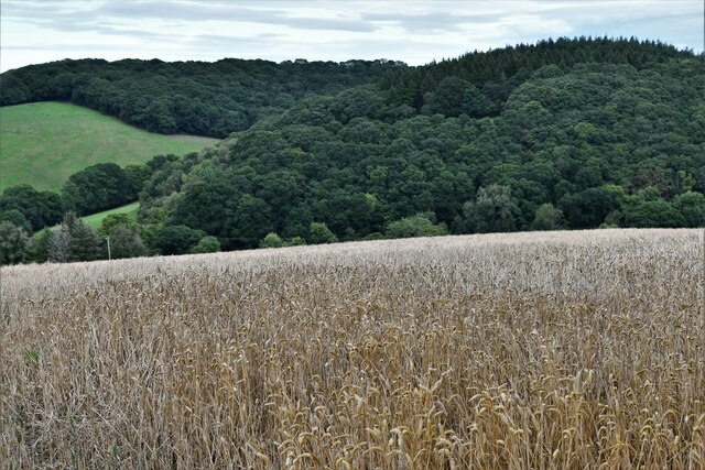
Baldhill Copse is a picturesque woodland located in the county of Devon, England. Situated in the southwestern part of the country, this woodland covers an area of approximately 50 acres, making it a relatively small forest in comparison to others in the region. Despite its size, Baldhill Copse boasts a diverse range of flora and fauna, making it a popular destination for nature enthusiasts, hikers, and photographers.
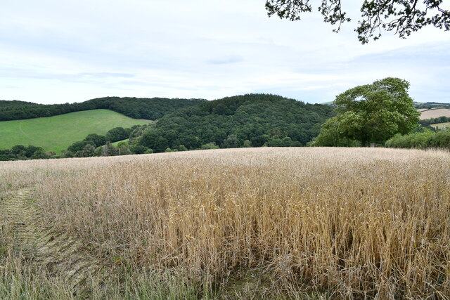
The copse is composed of a mixture of deciduous and coniferous trees, including oak, beech, and pine, which create a vibrant and colorful setting throughout the year. In spring, the forest floor becomes a carpet of bluebells and wildflowers, providing a stunning display of natural beauty. As summer approaches, the canopy offers a cool and shaded environment, inviting visitors to escape the heat and enjoy a peaceful stroll along the well-maintained trails.
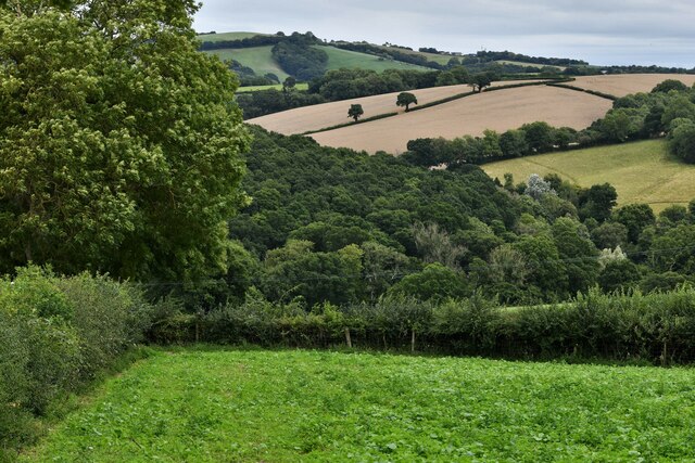
The woodland is home to various wildlife species, including deer, squirrels, and a wide variety of birds. Birdwatchers can spot species such as woodpeckers, owls, and thrushes, while lucky visitors may even catch a glimpse of the elusive red fox or badger that inhabit the area.
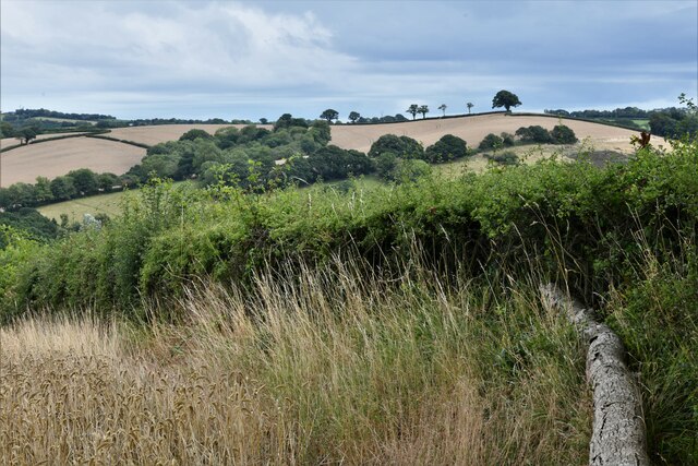
Baldhill Copse is easily accessible, with a small car park located nearby, allowing visitors to explore the woodland at their leisure. The copse is also a popular spot for picnics and family outings, providing a tranquil setting for relaxation and recreation.
Whether one is seeking solace in nature, a quiet walk amidst beautiful scenery, or the opportunity to observe wildlife, Baldhill Copse offers a charming and enriching experience for all who venture into its leafy embrace.
If you have any feedback on the listing, please let us know in the comments section below.
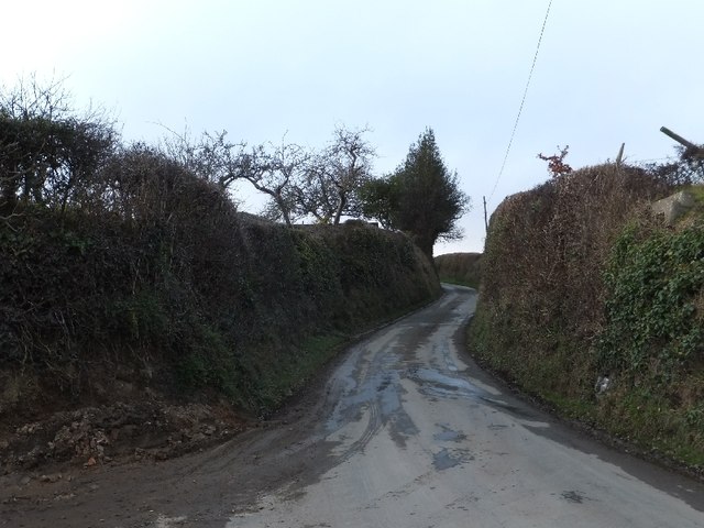
Baldhill Copse Images
Images are sourced within 2km of 50.75339/-3.6782209 or Grid Reference SX8196. Thanks to Geograph Open Source API. All images are credited.


Baldhill Copse is located at Grid Ref: SX8196 (Lat: 50.75339, Lng: -3.6782209)
Administrative County: Devon
District: Teignbridge
Police Authority: Devon and Cornwall
What 3 Words
///probing.pets.decimals. Near Crediton, Devon
Nearby Locations
Related Wikis

Posbury
Posbury is an ancient estate in Devon, now a hamlet, situated about 2 miles south-west of Crediton and 2 miles north of Tedburn St Mary and 1 mile west...

Tedburn St Mary
Tedburn St Mary is a village and civil parish in the Teignbridge district of Devon, England, approximately 8 miles west of Exeter. It has a population...
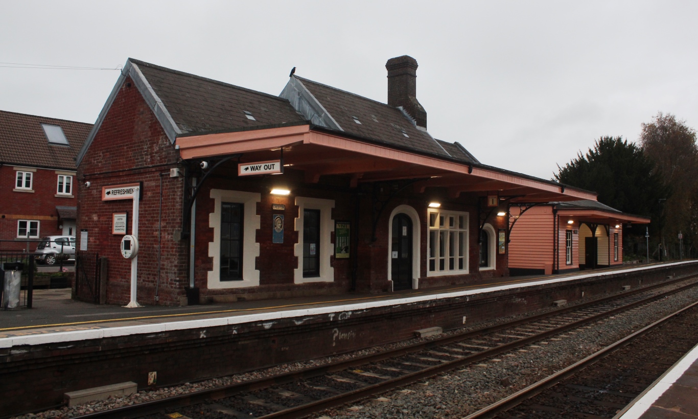
Crediton railway station
Crediton railway station is a railway station serving the town of Crediton in Devon, England. It is 7 miles 76 chains (12.8 km) from Exeter Central at...

Crediton Hamlets
Crediton Hamlets is a civil parish in Mid Devon in the English county of Devon. It has a population of 1,307. == References ==
Nearby Amenities
Located within 500m of 50.75339,-3.6782209Have you been to Baldhill Copse?
Leave your review of Baldhill Copse below (or comments, questions and feedback).