Bradford Pond Plantation

Wood, Forest in Devon North Devon

England

Bradford Pond Plantation

Witheridge : Road A small road in the countryside.
Witheridge : Road Credit: Lewis Clarke

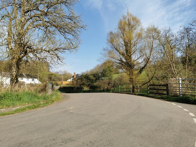
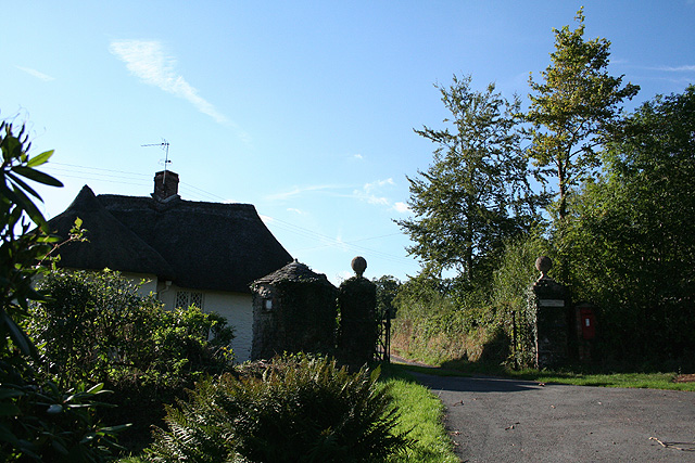
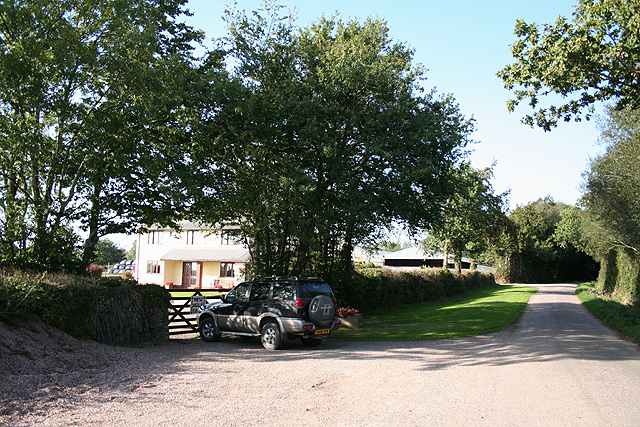
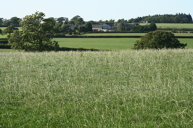
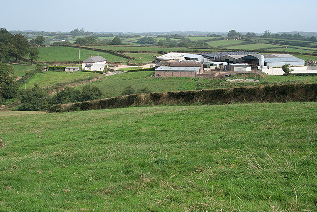
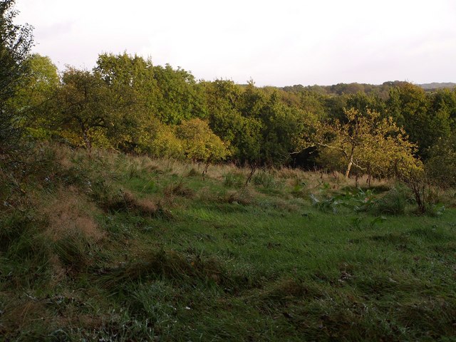
Bradford Pond Plantation, located in Devon, is a picturesque woodland area known for its natural beauty and diverse ecosystem. Covering an area of approximately 500 acres, this enchanting forest is a popular destination for nature enthusiasts, hikers, and birdwatchers.

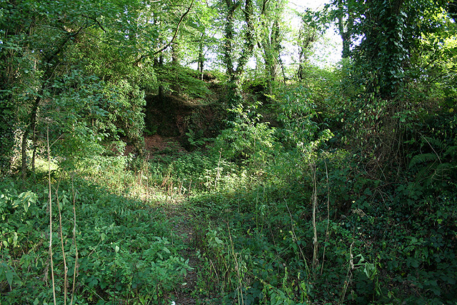
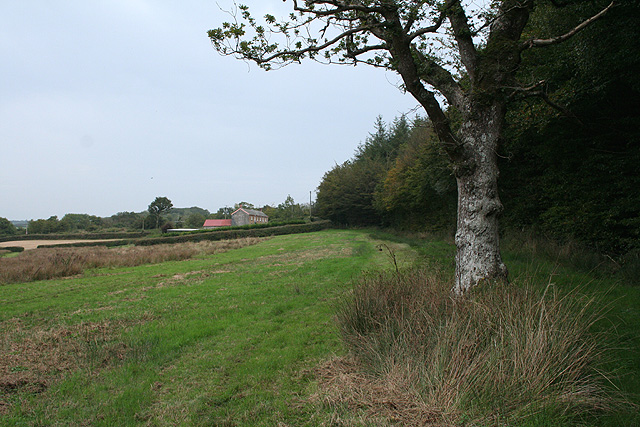
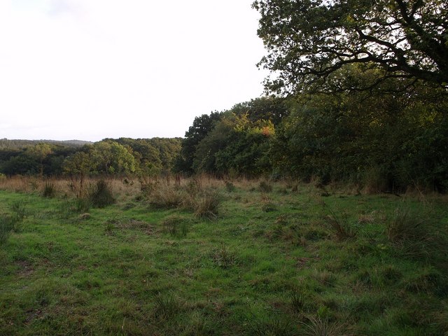
The plantation is characterized by its dense canopy of trees, primarily consisting of oak, beech, and birch. These majestic trees provide a cool and tranquil atmosphere, making it an ideal retreat for those seeking solace in nature. The forest floor is covered with a lush carpet of ferns, mosses, and wildflowers, adding to the plantation's aesthetic appeal.

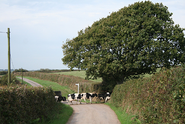
Bradford Pond Plantation is home to a wide variety of wildlife. Visitors may spot red deer, foxes, rabbits, and a multitude of bird species, including woodpeckers, owls, and thrushes. The diverse range of habitats within the plantation, such as ponds, streams, and meadows, create a favorable environment for numerous species to flourish.

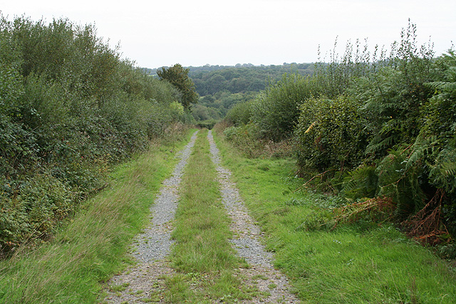
The plantation offers several well-maintained walking trails, varying in difficulty and length, allowing visitors to explore the area at their own pace. These trails provide breathtaking views of the surrounding landscape, with occasional glimpses of the nearby Bradford Pond shimmering in the distance.

Nature conservation is a priority at Bradford Pond Plantation. The area is managed by a dedicated team of conservationists who strive to protect and preserve the natural habitat. They regularly conduct surveys, monitor wildlife populations, and implement sustainable practices to ensure the long-term health of the ecosystem.

Overall, Bradford Pond Plantation in Devon is a haven of tranquility and natural beauty, offering visitors a chance to immerse themselves in the wonders of the woodland environment.

If you have any feedback on the listing, please let us know in the comments section below.

Bradford Pond Plantation Images

Images are sourced within 2km of 50.933033/-3.6855201 or Grid Reference SS8116. Thanks to Geograph Open Source API. All images are credited.

Witheridge : Road A small road in the countryside.
Witheridge : Road
A small road in the countryside.
Witheridge: near Newland Manor Looking north by the lane between Newland Cross and Down Cross
Witheridge: near Newland Manor
Looking north by the lane between Newland Cross and Down Cross
Witheridge: towards Monkey Moor Near Pilliven, looking east-north-east in the direction of Down Cross on the lane from Witheridge
Witheridge: towards Monkey Moor
Near Pilliven, looking east-north-east in the direction of Down Cross on the lane from Witheridge
Witheridge: entrance to Bradford Tracy Looking north west by an entrance lodge to the estate
Witheridge: entrance to Bradford Tracy
Looking north west by an entrance lodge to the estate
Thelbridge: near Charna Ford By the entrances to Chelwood Grange and Charnaford Farm. Looking north east
Thelbridge: near Charna Ford
By the entrances to Chelwood Grange and Charnaford Farm. Looking north east
Witheridge: towards West Pilliven Looking north over a valley; West Pilliven is on the far edge of the square
Witheridge: towards West Pilliven
Looking north over a valley; West Pilliven is on the far edge of the square
Witheridge: above Leat Farm Looking north east
Witheridge: above Leat Farm
Looking north east
Witheridge: New Hole Farm Looking north-north-west. This farm has been built since the 1976 Ordnance Survey Pathfinder map for Tiverton was published. By the road to Bradford Mill and Bradford Tracy
Witheridge: New Hole Farm
Looking north-north-west. This farm has been built since the 1976 Ordnance Survey Pathfinder map for Tiverton was published. By the road to Bradford Mill and Bradford Tracy
Witheridge: near Witheridge Mill A probable quarry site looking south-south-east. Seen from a public footpath; a second footpath promoted by DEFRA runs above the old quarry face. A private house now stands on the Witheridge Mill site. The lower footpath runs alongside the course of the mill leat, now dry
Witheridge: near Witheridge Mill
A probable quarry site looking south-south-east. Seen from a public footpath; a second footpath promoted by DEFRA runs above the old quarry face. A private house now stands on the Witheridge Mill site. The lower footpath runs alongside the course of the mill leat, now dry
Witheridge: towards Broadridge Farm Looking north-north-west
Witheridge: towards Broadridge Farm
Looking north-north-west
Creacombe: near Crowdhole Looking west-south-west along an access track heading towards Monkey Moor.
Creacombe: near Crowdhole
Looking west-south-west along an access track heading towards Monkey Moor.
Witheridge: Two Moors Way Looking east-north-east towards Bradford Moor House
Witheridge: Two Moors Way
Looking east-north-east towards Bradford Moor House
Witheridge: Bradford Moor House Looking west by the gate
Witheridge: Bradford Moor House
Looking west by the gate
Witheridge: towards North Coombe Looking east by the road from Crowdhole Cross to Bradford Barton
Witheridge: towards North Coombe
Looking east by the road from Crowdhole Cross to Bradford Barton
Creacombe: herd at Crowdhole Cross Looking north-north-west on the lane to Creacombemoor Cross; a left turn leads to Ditchett Cross
Creacombe: herd at Crowdhole Cross
Looking north-north-west on the lane to Creacombemoor Cross; a left turn leads to Ditchett Cross
Witheridge: Bradford Mill This ceased to be a working watermill in the 1930s. The watermill has since become part of a private residence, seen here from the adjoining road. Henry Blackford was miller in the period 1893 - 1906 and William Roberts was listed as miller in 1926; he may well have been the last of the line. Looking south west
Witheridge: Bradford Mill
This ceased to be a working watermill in the 1930s. The watermill has since become part of a private residence, seen here from the adjoining road. Henry Blackford was miller in the period 1893 - 1906 and William Roberts was listed as miller in 1926; he may well have been the last of the line. Looking south west
Field by Grendon Lane North Grendon Plantation is on the right. Taken from Grendon Lane, a green lane across the Sturcombe River valley.
Field by Grendon Lane
North Grendon Plantation is on the right. Taken from Grendon Lane, a green lane across the Sturcombe River valley.
Orchard at North Grendon An orchard beside the farm buildings at North Grendon, which no longer seem to be inhabited.
Orchard at North Grendon
An orchard beside the farm buildings at North Grendon, which no longer seem to be inhabited.
Show me another place!

Bradford Pond Plantation is located at Grid Ref: SS8116 (Lat: 50.933033, Lng: -3.6855201)

Administrative County: Devon

District: North Devon

Police Authority: Devon and Cornwall

What 3 Words

///migrate.houseboat.narrate. Near Witheridge, Devon

Related Wikis

Batsworthy

Batsworthy is a village in Devon, England. == References ==

Witheridge

Witheridge is a village and civil parish in the North Devon district of Devon, England. In 2001 the population of the parish was 1162, reducing slightly...

Witheridge F.C.

Witheridge Football Club is a football club based in the Devon village of Witheridge. They are currently members of the Devon & Exeter League Division...

Nomansland, Devon

Nomansland is a hamlet in Devon, England, with a population of about 150. It is eight miles west of Tiverton. It is so named because it was at one time...

Creacombe

Creacombe is a small village and former civil parish, now in the parish of Rackenford, in the North Devon district of Devon, England. Its nearest town...

Rackenford

Rackenford is a village and civil parish in North Devon, England. It is roughly located 7.31 miles North West of Tiverton and 20 miles South East of Barnstaple...

Drayford

Drayford is a village in the English county of Devon, approximately 15 miles north west of Exeter. == External links == Media related to Drayford at Wikimedia...

Washford Pyne

Washford Pyne is a village and civil parish in Devon, England. It is 7 miles NE of Morchard Road railway station and 8 N by W of Crediton.The local church...

Have you been to Bradford Pond Plantation?

Leave your review of Bradford Pond Plantation below (or comments, questions and feedback).