Churcham

Settlement in Gloucestershire Forest of Dean

England

Churcham

Track in Highnam Woods Track through Highnam Woods on a frosty December morning.
Track in Highnam Woods Credit: Philip Halling

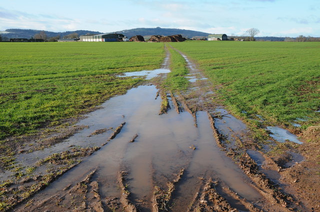
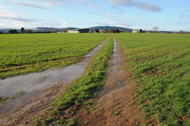
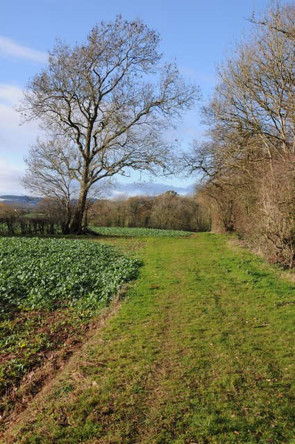
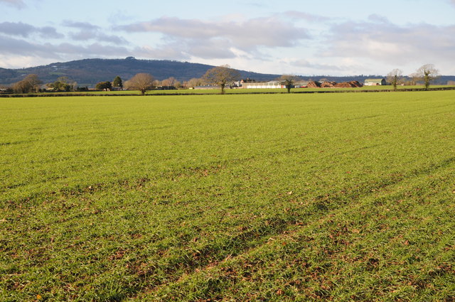
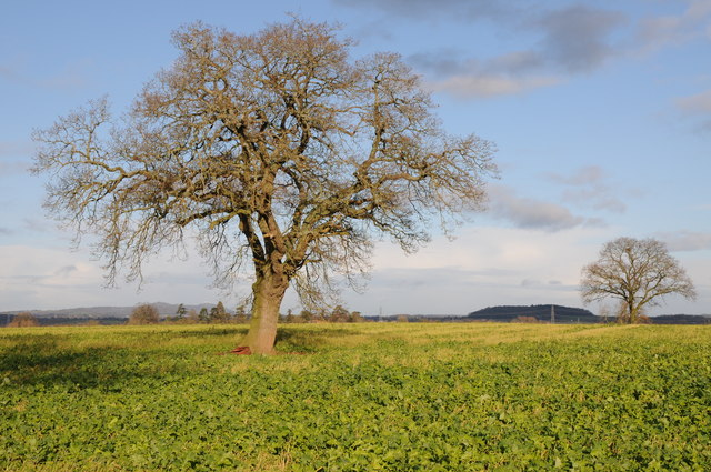
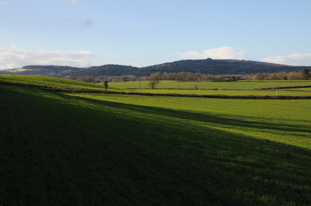
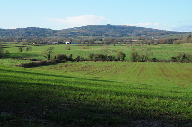
Churcham is a small village located in the county of Gloucestershire, England. Situated about 8 miles west of the city of Gloucester, it lies on the eastern banks of the River Severn. The village is surrounded by picturesque countryside, with rolling hills and farmland dominating the landscape.

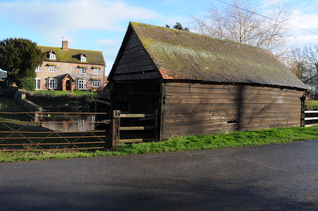
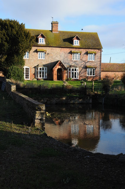
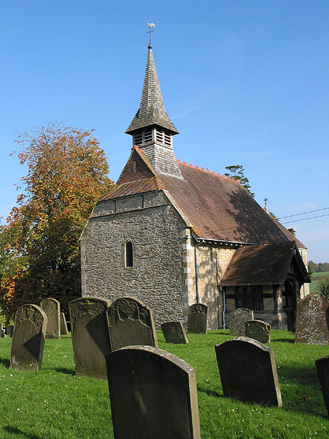
With a population of around 700 residents, Churcham is a close-knit community that maintains a strong sense of rural charm. The village is known for its traditional stone-built cottages, many of which date back several centuries, and its quaint village green. The centerpiece of the village is the Church of St. Andrew, a beautiful medieval church that dates back to the 12th century.

Despite its small size, Churcham offers a range of amenities to its residents. These include a village hall, a primary school, and a local pub that serves as a social hub for the community. The village also benefits from its proximity to the city of Gloucester, which provides access to a wider range of services and facilities.

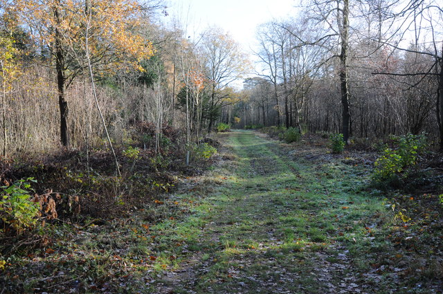
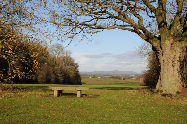
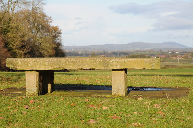
Churcham is surrounded by natural beauty, with several walking trails and nature reserves located nearby. The nearby Forest of Dean, an ancient woodland, offers opportunities for outdoor activities such as hiking, cycling, and wildlife spotting.

Overall, Churcham is a charming village that offers a peaceful and idyllic setting for its residents, while still providing access to modern amenities and the stunning natural landscapes of Gloucestershire.

If you have any feedback on the listing, please let us know in the comments section below.
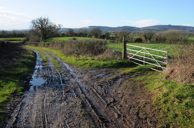
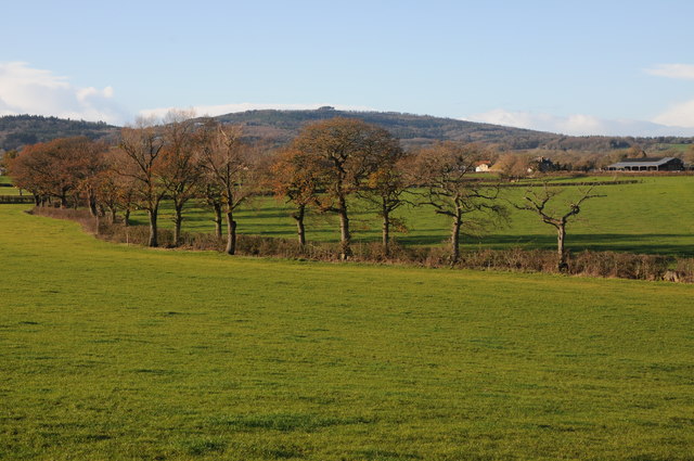
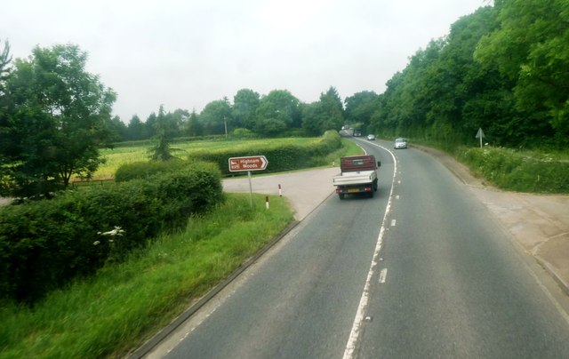
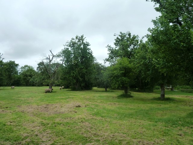
Churcham Images

Images are sourced within 2km of 51.868283/-2.347378 or Grid Reference SO7618. Thanks to Geograph Open Source API. All images are credited.

Track in Highnam Woods Track through Highnam Woods on a frosty December morning.
Track in Highnam Woods
Track through Highnam Woods on a frosty December morning.
Memorial bench, Bulley This bench beside Desmesne Wood has an inscription to Morgan Philips Price 'who owned and loved these woods'.  The Malvern Hills can be seen in the distance.
Memorial bench, Bulley
This bench beside Desmesne Wood has an inscription to Morgan Philips Price 'who owned and loved these woods'. The Malvern Hills can be seen in the distance.
Memorial bench, Bulley Memorial bench to Morgan Philips Price 'who owned and loved these woods'.  The Malvern
Memorial bench, Bulley
Memorial bench to Morgan Philips Price 'who owned and loved these woods'. The Malvern
Colliers End Farm Track across a field to Colliers End with May Hill in the background.
Colliers End Farm
Track across a field to Colliers End with May Hill in the background.
Colliers End Farm Track across a field to Colliers End with May Hill in the background.
Colliers End Farm
Track across a field to Colliers End with May Hill in the background.
Footpath beside Desmesne Wood Footpath beside Desmesne Wood near Bulley.
Footpath beside Desmesne Wood
Footpath beside Desmesne Wood near Bulley.
Colliers End Farm Colliers End Farm viewed across an arable field.  May Hill is in the distance.
Colliers End Farm
Colliers End Farm viewed across an arable field. May Hill is in the distance.
Trees in an arable field Trees in an arable field probably marking the line of a former hedge near Collier's End.  The Malvern Hills can be seen in the horizon.
Trees in an arable field
Trees in an arable field probably marking the line of a former hedge near Collier's End. The Malvern Hills can be seen in the horizon.
May Hill View to May Hill from Collier's End.
May Hill
View to May Hill from Collier's End.
Colliers End Farm Colliers End Farm near Bulley comprises a number of traditional farm buildings.
Colliers End Farm
Colliers End Farm near Bulley comprises a number of traditional farm buildings.
Colliers End Farm Traditional farmhouse complete with pond at Colliers End Farm near Bulley.
Colliers End Farm
Traditional farmhouse complete with pond at Colliers End Farm near Bulley.
May Hill May Hill viewed from near Collier's End.
May Hill
May Hill viewed from near Collier's End.
Track near Colliers End Track near Colliers Elm with May Hill on the horizon to the right.
Track near Colliers End
Track near Colliers Elm with May Hill on the horizon to the right.
Farmland near Merrimans, Huntley A line of trees mark a hedgerow, Merrimans Farm can be seen to the right with May Hill in the background.
Farmland near Merrimans, Huntley
A line of trees mark a hedgerow, Merrimans Farm can be seen to the right with May Hill in the background.
Open fields near Churcham Viewed from the A40. Large field has agricultural building not marked on OS map.
Open fields near Churcham
Viewed from the A40. Large field has agricultural building not marked on OS map.
Bulley Lane Taken at junction with the A40
Bulley Lane
Taken at junction with the A40
A40 near Highnam Woods Taken from the No 33 bus travelling from Mitcheldean to Gloucester.
A40 near Highnam Woods
Taken from the No 33 bus travelling from Mitcheldean to Gloucester.
Fields and sheep at Berry's Place Farm Taken during open day for the NGS
Fields and sheep at Berry's Place Farm
Taken during open day for the NGS
Show me another place!

Churcham is located at Grid Ref: SO7618 (Lat: 51.868283, Lng: -2.347378)

Administrative County: Gloucestershire

District: Forest of Dean

Police Authority: Gloucestershire

What 3 Words

///initiates.witty.montage. Near Huntley, Gloucestershire

Nearby Locations

Churcham

Related Wikis

Bulley

Bulley is a village and former civil parish, now in the parish of Churcham, in the Forest of Dean district, in Gloucestershire, almost 7 miles (11 km)...

Churcham

Churcham is a small village and civil parish in the Forest of Dean District of Gloucestershire in England, located 4 miles (6.4 km) west of Gloucester...

School of the Lion

The School of the Lion was an independent school based in Churcham, Gloucestershire. The school was founded in by 1987 by a group of Gloucestershire-based...

Oakle Street railway station

Oakle Street railway station served the village of Oakle Street, Gloucestershire, England from 1851 to 1964 on the Gloucester-Newport line. == History... ==

Nearby Amenities

Located within 500m of 51.868283,-2.347378
Post Box
Collection Times: Mo-Fr 09:00; Sa 07:00
Post Box Type: lamp
Ref: GL2 110
Royal Cypher: EIIR
Royal Cypher Wikidata: Q33102113
Lat/Long: 51.8662992/-2.3482814
Bus Stop
Oakle Street Turn
Naptan AtcoCode: 1600GL5625
Naptan Bearing: W
Naptan CommonName: Oakle Street Turn
Naptan NaptanCode: gloapwdg
Naptan Street: A40
Naptan Verified: no
Source: naptan_import
Lat/Long: 51.8656607/-2.3492514
Bus Stop
Oakle Street Turn
Naptan AtcoCode: 1600GL5626
Naptan Bearing: E
Naptan CommonName: Oakle Street Turn
Naptan Indicator: Opp
Naptan NaptanCode: gloapwma
Naptan Street: A40
Naptan Verified: no
Source: naptan_import
Lat/Long: 51.8661348/-2.3470185
Defibrillator
Booth: K6
Covered: booth
Defibrillator Location: inside red phone box in A40 layby in Churcham
Disused Amenity: telephone
Emergency: defibrillator
Man Made: telephone_box
Opening Hours: 24/7
Wheelchair: limited
Lat/Long: 51.8660721/-2.347604
The data included in this document is from www.openstreetmap.org. The data is made available under ODbL.

Have you been to Churcham?

Leave your review of Churcham below (or comments, questions and feedback).