Metley Moor
Wood, Forest in Devon Teignbridge
England
Metley Moor

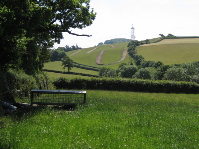
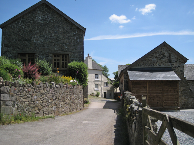
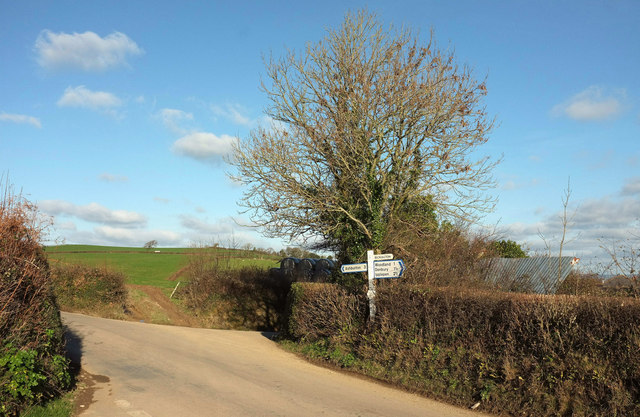
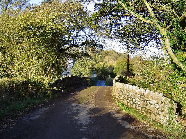
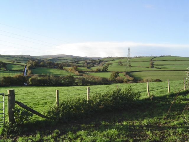
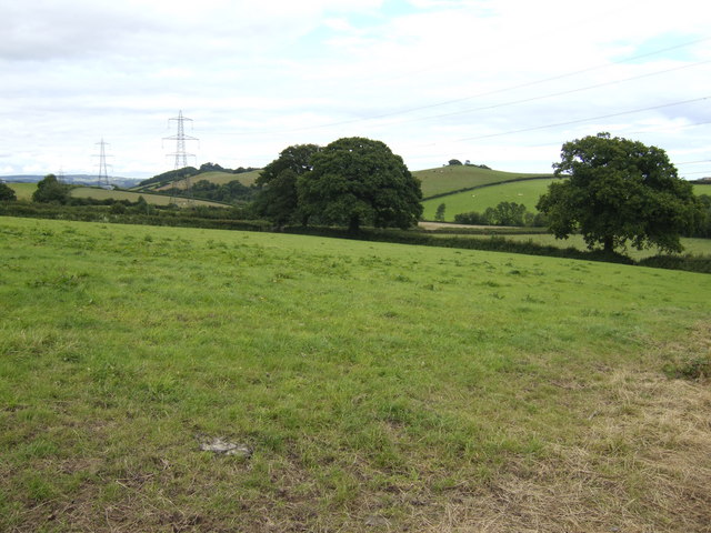
Metley Moor, located in Devon, is a captivating wood and forest area known for its enchanting natural beauty. Spanning over a vast expanse of land, this picturesque location offers a peaceful retreat away from the hustle and bustle of city life.
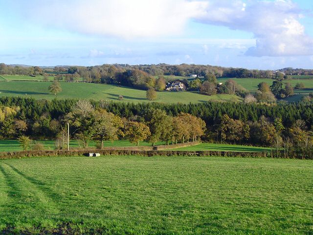
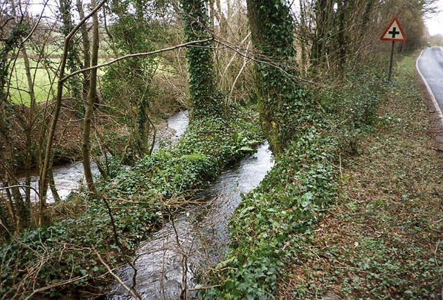
The moor is characterized by its dense woodland, which is home to a diverse range of flora and fauna. Towering oak, beech, and birch trees dominate the landscape, providing a lush canopy that creates a serene and tranquil atmosphere. The forest floor is adorned with a carpet of wildflowers, adding vibrant splashes of color to the surroundings.
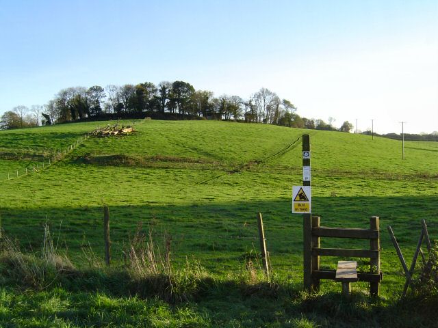
A network of walking trails weaves through the forest, allowing visitors to explore its hidden treasures. These trails range from easy strolls to more challenging hikes, catering to all levels of fitness and experience. Along the way, one might encounter babbling brooks, charming wooden bridges, and even the occasional wildlife sighting, such as deer or squirrels.
Nature enthusiasts will find Metley Moor an ideal spot for birdwatching, as the forest is a haven for a variety of avian species. The melodious songs of birds create a harmonious soundtrack that further enhances the overall serenity of the area.
Metley Moor also offers ample opportunities for outdoor activities like picnicking, camping, and photography. The peaceful ambience and stunning vistas make it a popular destination for those seeking solitude and relaxation amidst nature's beauty.
In conclusion, Metley Moor in Devon is a captivating wood and forest area that offers a peaceful escape for nature lovers. Its dense woodland, diverse flora and fauna, and well-maintained trails make it an ideal spot for hiking, birdwatching, and other outdoor activities. Whether exploring the trails or simply immersing oneself in the tranquility of the surroundings, Metley Moor is a haven for those seeking solace in nature.
If you have any feedback on the listing, please let us know in the comments section below.
Metley Moor Images
Images are sourced within 2km of 50.51993/-3.6742272 or Grid Reference SX8170. Thanks to Geograph Open Source API. All images are credited.


Metley Moor is located at Grid Ref: SX8170 (Lat: 50.51993, Lng: -3.6742272)
Administrative County: Devon
District: Teignbridge
Police Authority: Devon and Cornwall
What 3 Words
///track.loaning.sniff. Near Ipplepen, Devon
Nearby Locations
Related Wikis

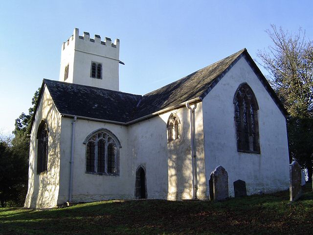
West Ogwell Church
West Ogwell Church in Ogwell, Devon, England was built in the 13th century. It is recorded in the National Heritage List for England as a designated Grade...

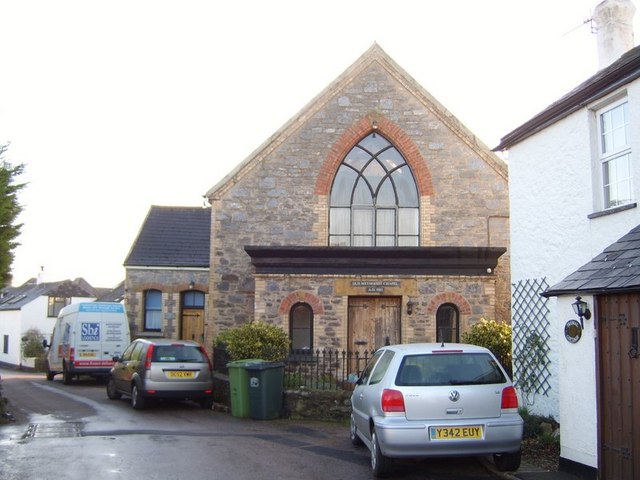
Denbury
Denbury is a village and former civil parish, now in the parish of Denbury and Torbryan, in Teignbridge district of Devon, England. The village is situated...

HM Prison Channings Wood
HM Prison Channings Wood is a Category C men's prison, located in the parish of Ogwell (near Newton Abbot) in Devon, England. The prison is operated by...
Bickington
Bickington is a village and civil parish in the Teignbridge district of Devon, England, on the east edge of the Dartmoor National Park. At the 2001 census...
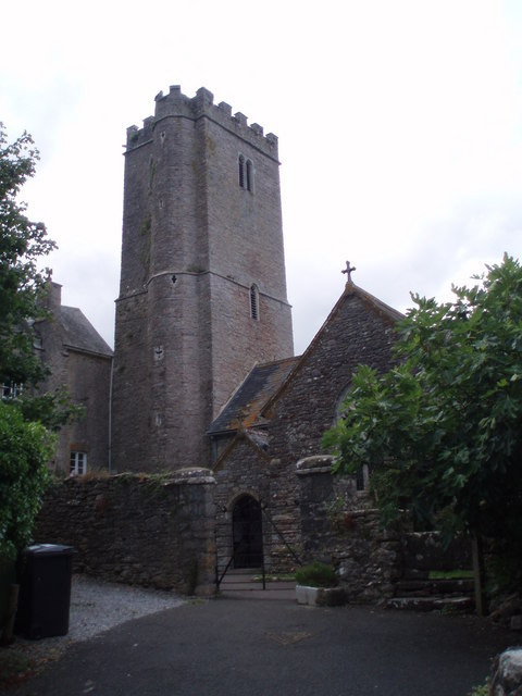
East Ogwell
East Ogwell is a village and former civil parish 15 miles (24 km) south of Exeter, now in the parish of Ogwell, in the Teignbridge district, in the county...

Denbury Hill
Denbury Hill (also known as Denbury Camp and Denbury Down) is the name of an Iron Age hill fort near the village of Denbury in Devon, England. The fort...
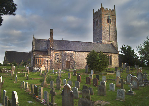
Church of St Mary the Virgin, Bickington
The Church of St Mary the Virgin, in Bickington, Devon, England, dates from the fifteenth century. The church is part of the Ashburton benefice, of the...

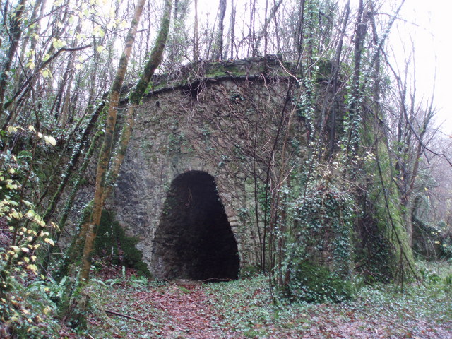
Puritan's Pit
Puritan's Pit (also known as Preacher's Pit, The Devil's Pit or Gruti's Pit) is a large steep-sided pit in the south side of the valley of the River Lemon...
Nearby Amenities
Located within 500m of 50.51993,-3.6742272Have you been to Metley Moor?
Leave your review of Metley Moor below (or comments, questions and feedback).