Church Town

Settlement in Leicestershire North West Leicestershire

England

Church Town

Newbold Village It is obviously the day for collecting rubbish in this village as all the dustbins are out awaiting emptying.
Newbold Village Credit: Malcolm Neal

Church Town is a small village located in the county of Leicestershire, England. Situated approximately 10 miles west of the city of Leicester, it is nestled amidst the scenic countryside of the East Midlands region. The village is characterized by its picturesque setting, with rolling green fields and charming cottages dotting the landscape.

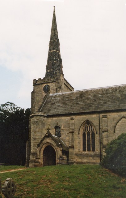
The origins of Church Town can be traced back to medieval times, as evidenced by the presence of St. Mary's Church, a beautiful and historic place of worship. The church, with its prominent spire, serves as a focal point for the village and adds to its traditional and timeless appeal.

Despite its small size, Church Town boasts a close-knit community that takes pride in preserving its rural heritage. The village is renowned for its friendly atmosphere and welcoming residents, who actively participate in various community activities and events. Local amenities include a village hall, a primary school, and a handful of shops and pubs that cater to the needs of the residents.

The natural surroundings of Church Town offer a plethora of outdoor recreational opportunities. The village is surrounded by idyllic countryside, perfect for leisurely walks, cycling, and exploring nature. Additionally, the nearby Bradgate Park provides a stunning backdrop for picnics, wildlife spotting, and enjoying the great outdoors.

While Church Town may be a tranquil and serene haven, it benefits from its proximity to Leicester, where residents can access a wider range of amenities, entertainment, and employment opportunities. The village's location also allows for easy commuting to surrounding towns and cities, making it an attractive option for those seeking a peaceful rural lifestyle within reach of urban conveniences.

If you have any feedback on the listing, please let us know in the comments section below.
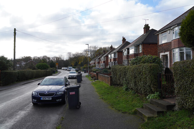
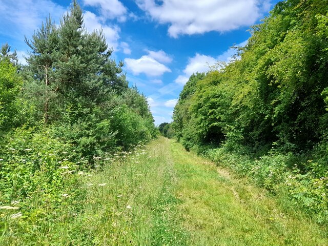
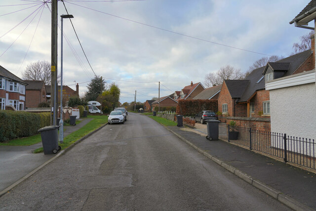
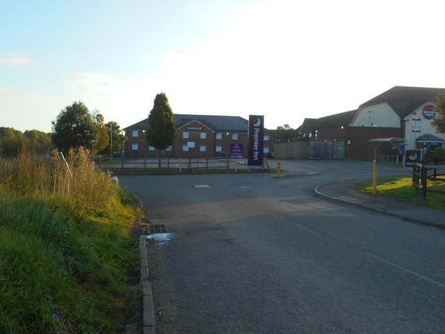
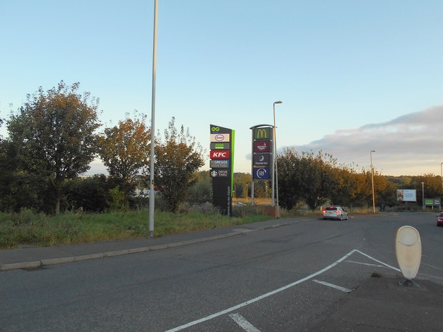
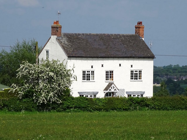
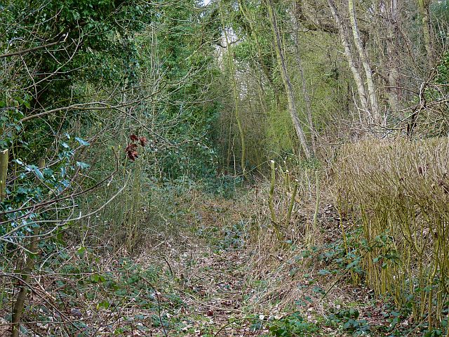
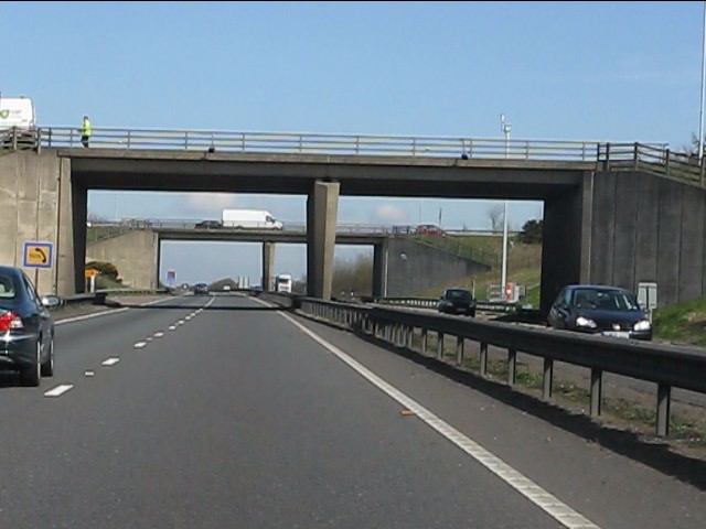
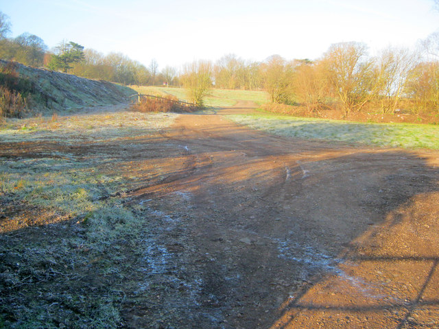
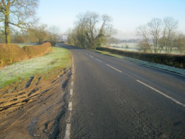
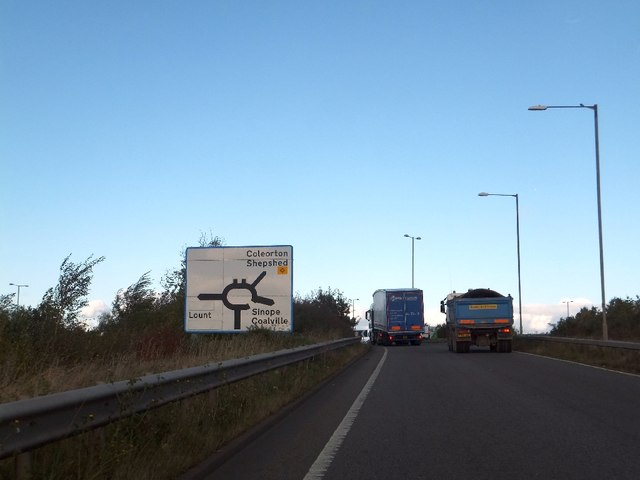
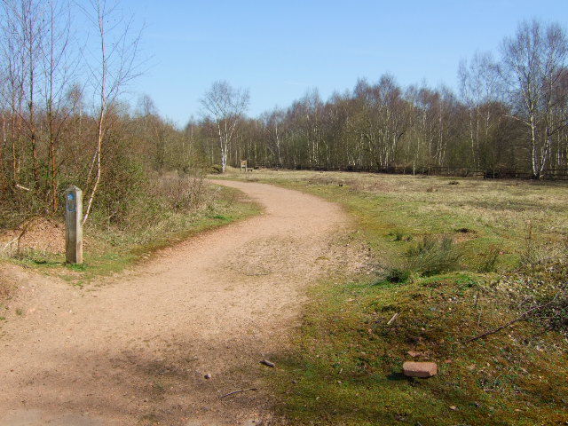
Church Town Images

Images are sourced within 2km of 52.749621/-1.419212 or Grid Reference SK3917. Thanks to Geograph Open Source API. All images are credited.

Newbold Village It is obviously the day for collecting rubbish in this village as all the dustbins are out awaiting emptying.
Newbold Village
It is obviously the day for collecting rubbish in this village as all the dustbins are out awaiting emptying.
Footpath by the railway in Breach Wood Breach Wood is an area of open-access woodland in the National Forest.
Footpath by the railway in Breach Wood
Breach Wood is an area of open-access woodland in the National Forest.
Ashby Road Another view of Newbold.
Ashby Road
Another view of Newbold.
Premier Inn,  Ashby-de-la-Zouch Not much has changed since a photo taken 9 years ago - <a href="https://www.geograph.org.uk/photo/4366272">SK3717 : Premier Inn, Ashby-de-la-Zouch</a>.
Apart from the removal of the security gate.
Premier Inn, Ashby-de-la-Zouch
Not much has changed since a photo taken 9 years ago - SK3717 : Premier Inn, Ashby-de-la-Zouch. Apart from the removal of the security gate.
Modern day totem poles roadside advertising posts offering local services. Ashby-de-la-Zouch.
Modern day totem poles
roadside advertising posts offering local services. Ashby-de-la-Zouch.
Footpath level crossing at Sinope
The former Queen's Head Inn The Queen's Head stopped being an inn some time in the late 19th or early 20th century.
The former Queen's Head Inn
The Queen's Head stopped being an inn some time in the late 19th or early 20th century.
Twice-abandoned railway at Newbold This section of railway was originally built as part of the Coleorton Railway, opened in 1833 and closed in 1860. It was reopened in 1924 to connect the newly-sunk New Lount colliery with the LMSR line from Ashby-de-la-Zouch to Derby. When the colliery closed in 1968 the line was closed and lifted for the second time.
Twice-abandoned railway at Newbold
This section of railway was originally built as part of the Coleorton Railway, opened in 1833 and closed in 1860. It was reopened in 1924 to connect the newly-sunk New Lount colliery with the LMSR line from Ashby-de-la-Zouch to Derby. When the colliery closed in 1968 the line was closed and lifted for the second time.
A42 at junction 13 (A511) Another classic UK roundabout junction.
A42 at junction 13 (A511)
Another classic UK roundabout junction.
A42 - junction 13 bridges Simple, efficient structures for a UK classic, the bi-level roundabout junction.
A42 - junction 13 bridges
Simple, efficient structures for a UK classic, the bi-level roundabout junction.
A42 north of junction 13 A lorry load of Jacob's cream crackers is about to join from the A511.
A42 north of junction 13
A lorry load of Jacob's cream crackers is about to join from the A511.
A42 sweeping through Leicestershire
The south-east portal of Newbold tunnel The south-east portal of Newbold tunnel. It was built originally for the Coleorton Railway, a line which used horse haulage, opened in 1833 and closed in 1872. The tunnel was refurbished in 1925 for use by the branch to New Lount colliery, which in turn closed in 1968, when the line was abandoned once more.
The south-east portal of Newbold tunnel
The south-east portal of Newbold tunnel. It was built originally for the Coleorton Railway, a line which used horse haulage, opened in 1833 and closed in 1872. The tunnel was refurbished in 1925 for use by the branch to New Lount colliery, which in turn closed in 1968, when the line was abandoned once more.
The north-west portal of Newbold tunnel The north-west portal of Newbold tunnel. It was built originally for the Coleorton Railway, opened in 1833 and closed in 1872. The tunnel was refurbished in 1925 for use by the branch to New Lount colliery, which closed in 1968, when the line was abandoned once more. The tunnel is dry inside and in generally good condition - a tribute to its builders.
The north-west portal of Newbold tunnel
The north-west portal of Newbold tunnel. It was built originally for the Coleorton Railway, opened in 1833 and closed in 1872. The tunnel was refurbished in 1925 for use by the branch to New Lount colliery, which closed in 1968, when the line was abandoned once more. The tunnel is dry inside and in generally good condition - a tribute to its builders.
St Mary, Coleorton
St Mary, Coleorton
Coleorton motocross circuit On the north-west side of Rempstone Road near Coleorton Hall.
Coleorton motocross circuit
On the north-west side of Rempstone Road near Coleorton Hall.
Rempstone Road Looking north-east along the B5324 near Coleorton Hall on a very cold January morning.
Rempstone Road
Looking north-east along the B5324 near Coleorton Hall on a very cold January morning.
Northbound slip road off A42
Show me another place!

Church Town is located at Grid Ref: SK3917 (Lat: 52.749621, Lng: -1.419212)

Administrative County: Leicestershire

District: North West Leicestershire

Police Authority: Leicestershire

What 3 Words

///donation.collected.searcher. Near Ravenstone, Leicestershire

Nearby Locations

Coleorton Church Town

Related Wikis

Coleorton Wood

Coleorton Wood is a woodland in the village of Coleorton, near Coalville in northwest Leicestershire, England. It is a six-hectare (15-acre) mixed woodland...

New Lount

New Lount is a 21.3 hectares (53 acres) Local Nature Reserve north-east of Ashby-de-la-Zouch in Leicestershire. It is owned and managed by Leicestershire...

Coleorton

Coleorton ( kə-LOR-tən) is a village and civil parish in North West Leicestershire, England. It is situated on the A512 road approximately 2 miles (3...

North West Leicestershire (UK Parliament constituency)

North West Leicestershire is a constituency represented in the House of Commons of the UK Parliament since 2010 by Andrew Bridgen, originally a Conservative...

Nearby Amenities

Located within 500m of 52.749621,-1.419212
Bus Stop
Loughborough Road
Bus: yes
Naptan AtcoCode: 260015904
Naptan Bearing: N
Naptan CommonName: Loughborough Road
Naptan Indicator: 25m before
Naptan Landmark: A512 Loughborough Road
Naptan NaptanCode: leijgtgm
Naptan Notes: Non-Hourly - County
Naptan Street: Ashby Road
Naptan Verified: no
Public Transport: platform
Source: naptan_import
Lat/Long: 52.7498849/-1.4186733
Bus Stop
Church Town
Bus: yes
Naptan AtcoCode: 260015908
Naptan Bearing: W
Naptan CommonName: Church Town
Naptan Indicator: adj
Naptan Landmark: School
Naptan NaptanCode: leijgtja
Naptan Notes: Hourly - County
Naptan Street: Ashby Road
Naptan Verified: no
Public Transport: platform
Source: naptan_import
Lat/Long: 52.7484358/-1.4146777
Church Town
Naptan AtcoCode: 260015909
Naptan Bearing: E
Naptan BusStopType: CUS
Naptan CommonName: Church Town
Naptan Indicator: opp
Naptan Landmark: School
Naptan NaptanCode: leijgtjd
Naptan Notes: Hourly - County
Naptan Street: Ashby Road
Naptan Verified: no
Source: naptan_import
Lat/Long: 52.7485866/-1.4142608
Turning Circle
Lat/Long: 52.7504226/-1.4227691
The data included in this document is from www.openstreetmap.org. The data is made available under ODbL.

Have you been to Church Town?

Leave your review of Church Town below (or comments, questions and feedback).