Copper Wood
Wood, Forest in Somerset Somerset West and Taunton
England
Copper Wood
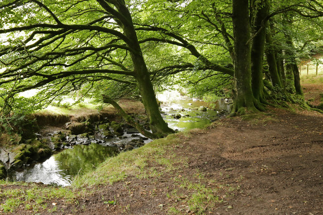
Copper Wood is a stunning forest located in Somerset, England. Spread across a vast area, this woodland is known for its vibrant copper-colored trees, hence the name. The forest is a popular destination for nature enthusiasts and hikers, offering a serene and picturesque setting.
Copper Wood is home to a diverse range of tree species, including oak, beech, and ash, but what truly sets it apart is the unique copper hue that envelops the landscape during the autumn months. As the leaves change their colors, the forest is transformed into a mesmerizing display of warm tones, attracting visitors from far and wide.
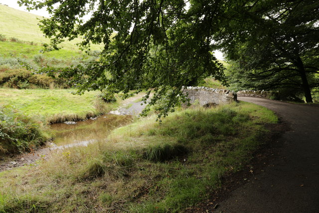
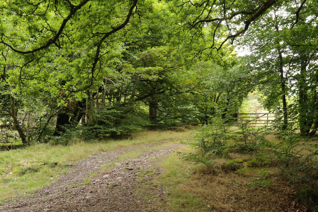
The woodland is crisscrossed by a network of well-maintained trails, making it easy for visitors to explore and immerse themselves in the tranquil surroundings. These paths offer breathtaking views of the forest, allowing hikers to witness the beauty of Copper Wood up close.
Wildlife thrives within Copper Wood, providing nature lovers with the opportunity to spot various species of birds, mammals, and insects. The forest is particularly known for its bird population, making it a haven for birdwatchers. Lucky visitors may catch a glimpse of woodpeckers, owls, and other enchanting creatures that call this woodland their home.
Copper Wood also holds historical significance, with remnants of ancient settlements and archaeological sites scattered throughout the area. These archaeological finds add an extra layer of intrigue to the forest, making it a fascinating destination for history enthusiasts.
Overall, Copper Wood in Somerset is a breathtaking forest that offers a unique and immersive experience for visitors. Its copper-colored trees, diverse wildlife, and historical significance make it a must-visit destination for nature lovers and history buffs alike.
If you have any feedback on the listing, please let us know in the comments section below.
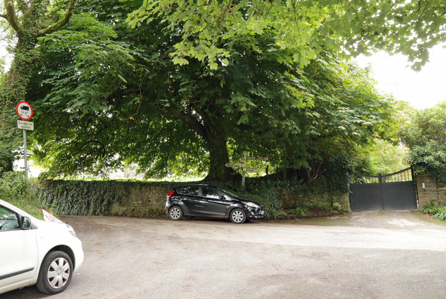
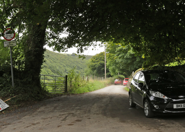
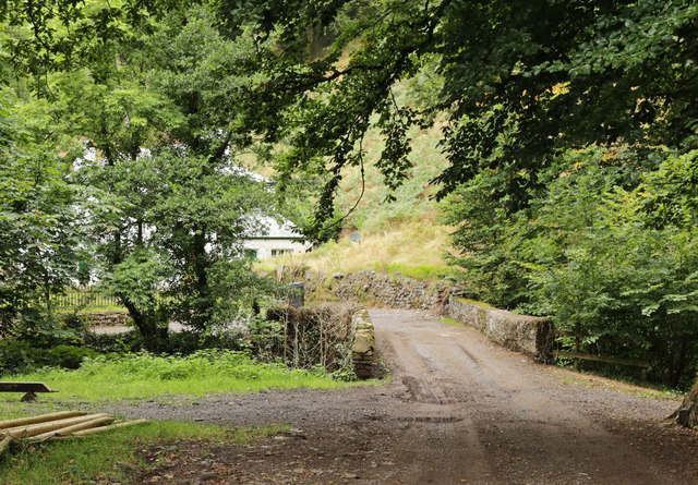
Copper Wood Images
Images are sourced within 2km of 51.205969/-3.709067 or Grid Reference SS8046. Thanks to Geograph Open Source API. All images are credited.


Copper Wood is located at Grid Ref: SS8046 (Lat: 51.205969, Lng: -3.709067)
Administrative County: Somerset
District: Somerset West and Taunton
Police Authority: Avon and Somerset
What 3 Words
///possibly.fingernails.birthdays. Near Porlock, Somerset
Nearby Locations
Related Wikis

Oare, Somerset
Oare is a village and civil parish on Oare Water on Exmoor in the Somerset West and Taunton district of Somerset, England. It is located 6 miles (10 km...

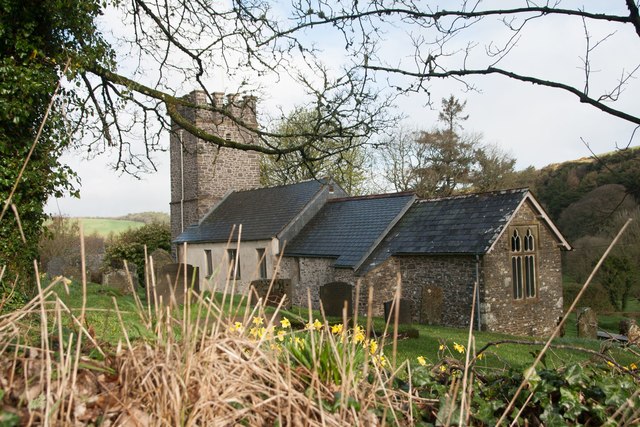
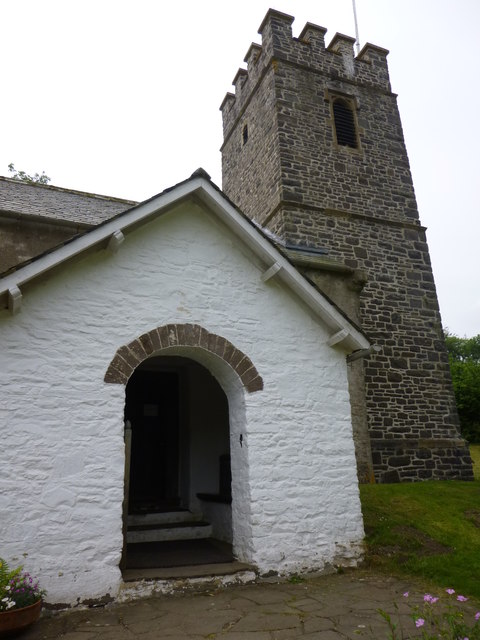
Church of St Mary, Oare
The Anglican Church of St Mary in Oare, Somerset, England, was built in the 15th century. It is a Grade II* listed building. == History == The nave and...
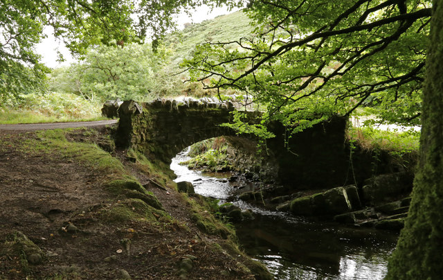
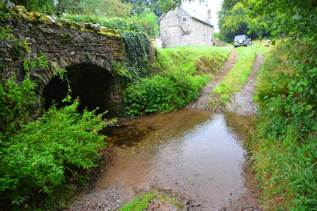
Robber's Bridge
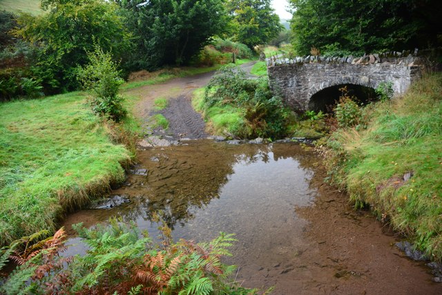
Robber's Bridge, or Robbers Bridge, is an old masonry arch bridge in the royal forest of Exmoor near Doone Valley, carrying the minor road from Porlock...

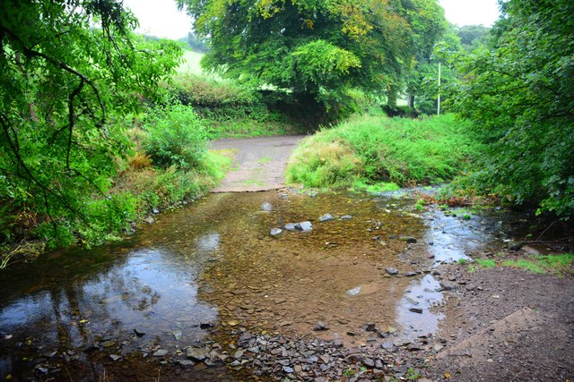
Malmsmead Bridge
Malmsmead Bridge is a 17th-century stone bridge which crosses Badgworthy Water in the hamlet of Malmsmead, on the road between Oare and Brendon. The Badgworthy...

Oare Water
Oare Water passes through the village of Oare, on Exmoor in Somerset, England. It joins Badgworthy Water before flowing to Watersmeet and the Bristol Channel...

Badgworthy Water
Badgworthy Water is a small river which flows through Malmsmead on Exmoor, close to the border between Devon and Somerset, England. It merges with Oare...
Malmsmead
Malmsmead is a hamlet on the border between the English counties of Devon and Somerset. The nearest town is Lynton, which lies approximately 4.7 miles...

East Lyn Valley
East Lyn Valley is a valley of Exmoor, covering northern Devon and western Somerset, England. The East Lyn River is formed from several main tributaries...
Have you been to Copper Wood?
Leave your review of Copper Wood below (or comments, questions and feedback).