Middle Copse
Wood, Forest in Devon Teignbridge
England
Middle Copse
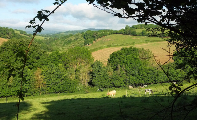
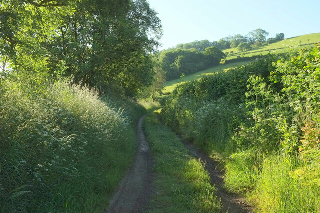
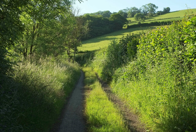
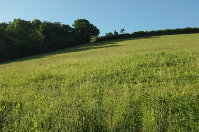
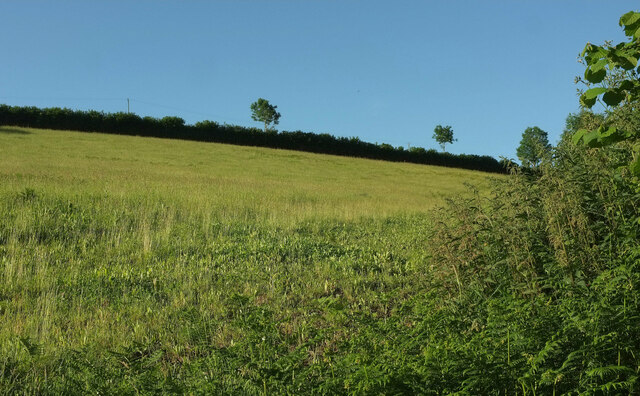
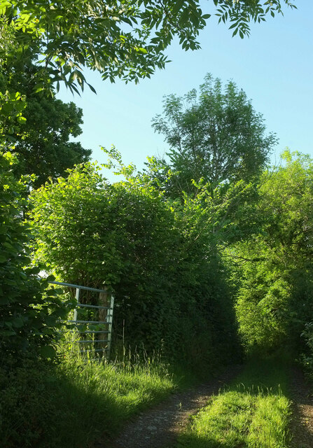
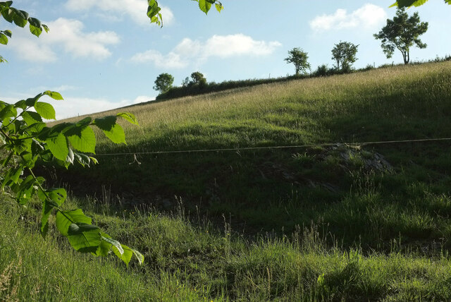
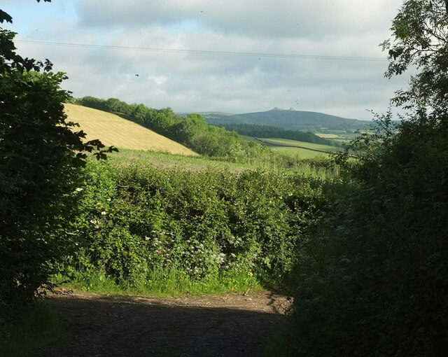
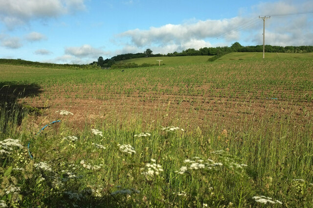
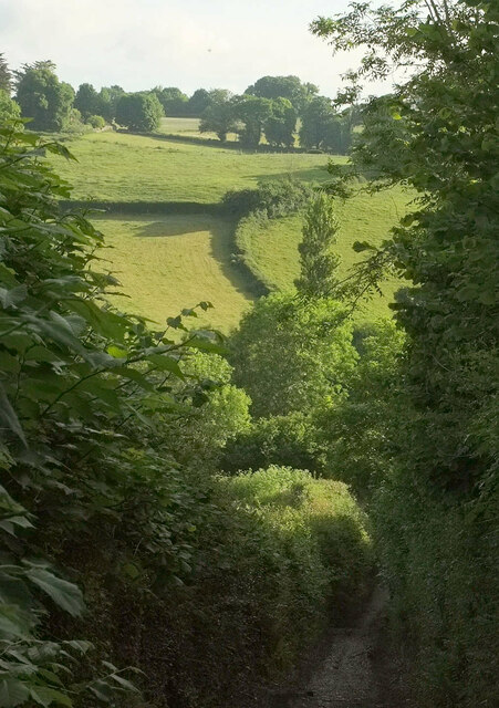
Middle Copse is a charming woodland area located in Devon, a county in southwestern England. This picturesque copse is nestled in the heart of the countryside, surrounded by rolling hills, meandering streams, and vibrant flora. Spanning approximately 20 acres, it offers a tranquil retreat for nature lovers and outdoor enthusiasts alike.
The copse is primarily composed of native deciduous trees, such as oak, beech, and ash, which provide a dense canopy that filters the sunlight and creates a serene atmosphere. The forest floor is adorned with a variety of wildflowers, including bluebells, primroses, and wood anemones, adding bursts of color to the landscape during the spring months.
Numerous walking trails crisscross through Middle Copse, offering visitors the opportunity to explore and immerse themselves in the natural beauty of the woodland. These paths meander through groves of trees, over babbling brooks, and past small clearings that are ideal for picnics or wildlife spotting.
The copse is home to a diverse range of wildlife, including deer, badgers, foxes, and a plethora of bird species. Nature enthusiasts can often spot woodpeckers, owls, and various songbirds flitting among the branches or hear the distinctive call of a cuckoo during the summer months.
Middle Copse is a popular destination for both locals and tourists seeking a peaceful retreat from the hustle and bustle of everyday life. Its idyllic setting, abundant wildlife, and well-maintained trails make it the perfect place for a leisurely stroll, a family outing, or simply a moment of tranquility surrounded by nature's wonders.
If you have any feedback on the listing, please let us know in the comments section below.
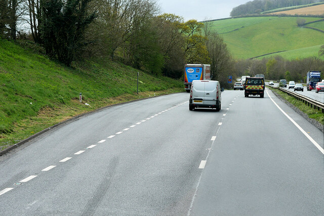
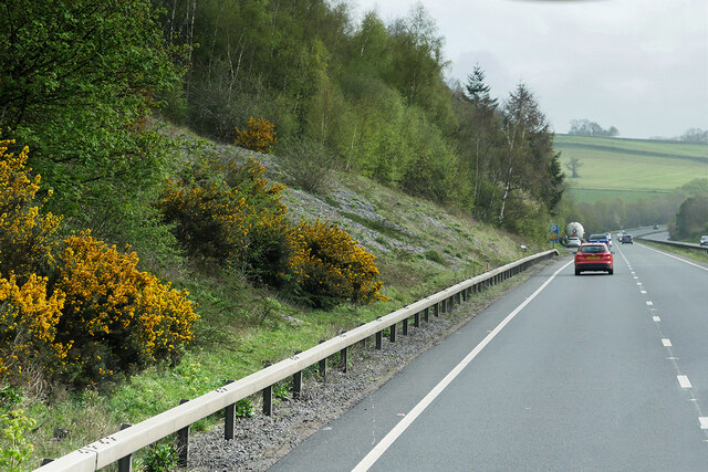
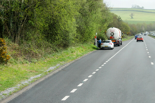
Middle Copse Images
Images are sourced within 2km of 50.533301/-3.6868923 or Grid Reference SX8071. Thanks to Geograph Open Source API. All images are credited.


Middle Copse is located at Grid Ref: SX8071 (Lat: 50.533301, Lng: -3.6868923)
Administrative County: Devon
District: Teignbridge
Police Authority: Devon and Cornwall
What 3 Words
///desiring.punk.sheets. Near Ashburton, Devon
Nearby Locations
Related Wikis
Bickington
Bickington is a village and civil parish in the Teignbridge district of Devon, England, on the east edge of the Dartmoor National Park. At the 2001 census...
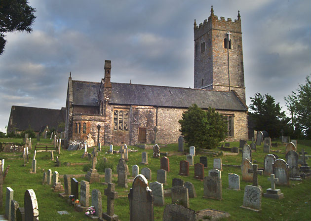
Church of St Mary the Virgin, Bickington
The Church of St Mary the Virgin, in Bickington, Devon, England, dates from the fifteenth century. The church is part of the Ashburton benefice, of the...

West Ogwell Church
West Ogwell Church in Ogwell, Devon, England was built in the 13th century. It is recorded in the National Heritage List for England as a designated Grade...
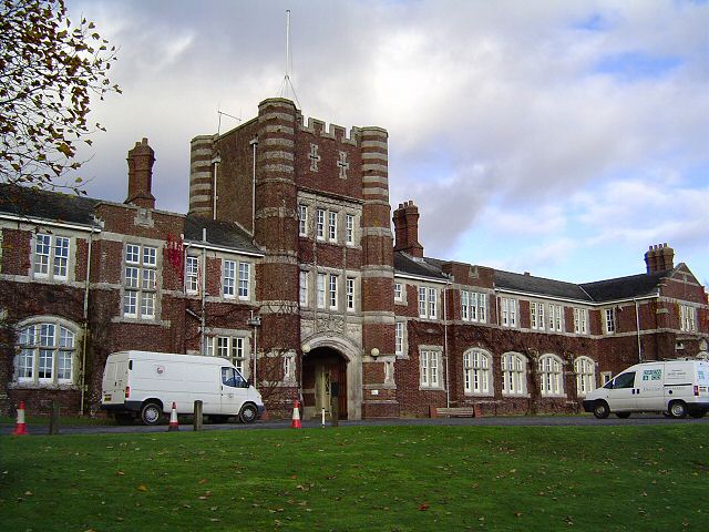
Seale-Hayne College
Seale-Hayne College was an agricultural college in Devon, England, which operated from 1919 to 2005. It was the only agricultural college in the United...

Liverton United F.C.
Liverton United Football Club is a football club based in Ilsington, Devon, England. They are currently members of the South Devon League Division Three...
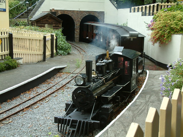
Bickington Steam Railway
Located at Trago Mills Regional Shopping Centre, Newton Abbot, the 10+1⁄4 in (260 mm) ridable miniature railway Bickington Steam Railway was opened in...
Trago Mills
Trago Mills (often known simply as Trago) is a chain of four department stores in south Cornwall, south Devon in England, and south Wales. It owns a site...

River Sig
The River Sig is a 2.4 mile long river on Dartmoor in the county of Devon, England. It is a tributary to the River Lemon which it meets at Sigford. �...
Nearby Amenities
Located within 500m of 50.533301,-3.6868923Have you been to Middle Copse?
Leave your review of Middle Copse below (or comments, questions and feedback).