Church Lench

Settlement in Worcestershire Wychavon

England

Church Lench

Oilseed Rape in the Lenches This is square has no building within it, farmland and arable land predominate.
Oilseed Rape in the Lenches Credit: Philip Halling

Church Lench is a small village located in the county of Worcestershire, England. Situated approximately 12 miles south of the city of Worcester, it falls within the Wychavon district. The village has a population of around 400 residents and is set amidst picturesque countryside, offering a tranquil environment.

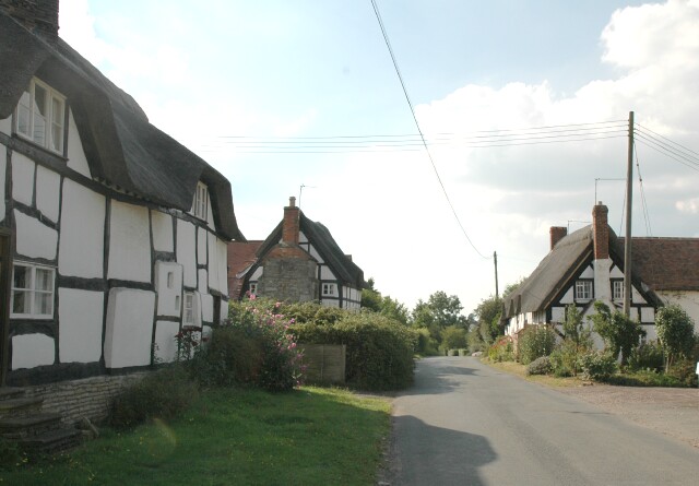
The village takes its name from the Church of St. Lawrence, a beautiful 12th-century parish church that stands at its heart. The church is renowned for its architectural elegance and is a significant historical landmark within the area. Surrounding the church, there are a few traditional thatched cottages, adding to the village's charm and character.

Despite its small size, Church Lench boasts a vibrant community spirit. The village has a local pub, The Coach and Horses, which serves as a social hub for residents and visitors alike. The pub offers a warm and friendly atmosphere along with traditional pub food and a selection of beverages.

The village is also known for its active community organizations, including a village hall that hosts various events and activities throughout the year. These events provide an opportunity for locals to come together and foster a strong sense of community.

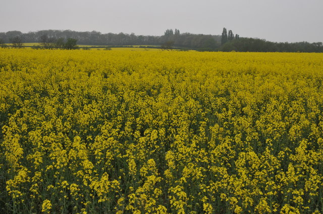
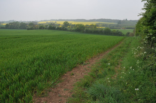
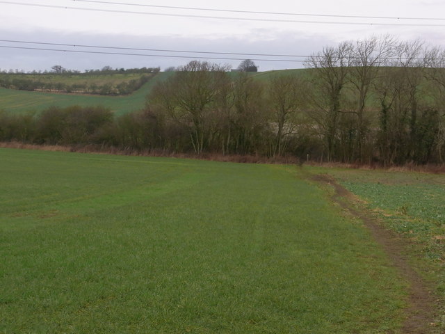
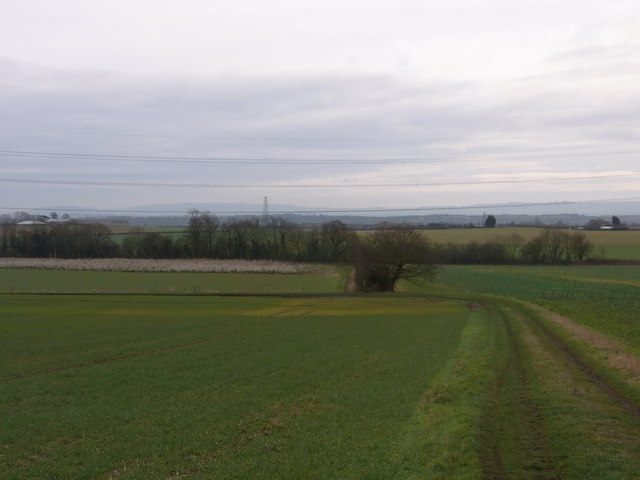
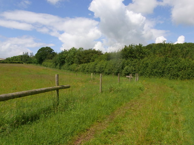
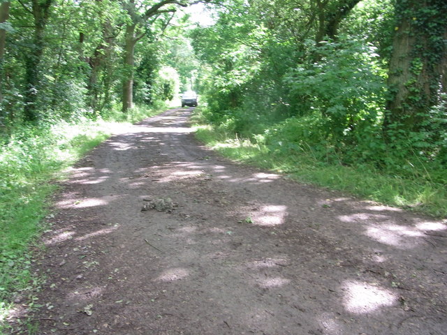
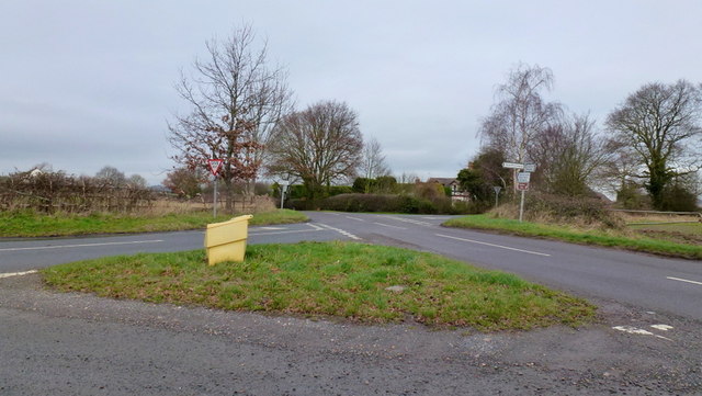
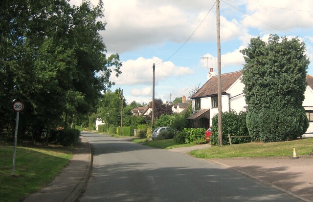
Church Lench is surrounded by rolling hills and open fields, making it an ideal location for those who enjoy outdoor pursuits. The village is well connected by road, with nearby access to the A44, providing easy travel to Worcester and other nearby towns.

In conclusion, Church Lench is a charming village in Worcestershire, known for its historical church, sense of community, and picturesque surroundings.

If you have any feedback on the listing, please let us know in the comments section below.
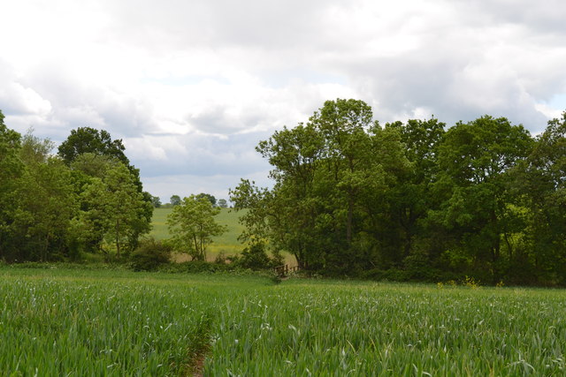
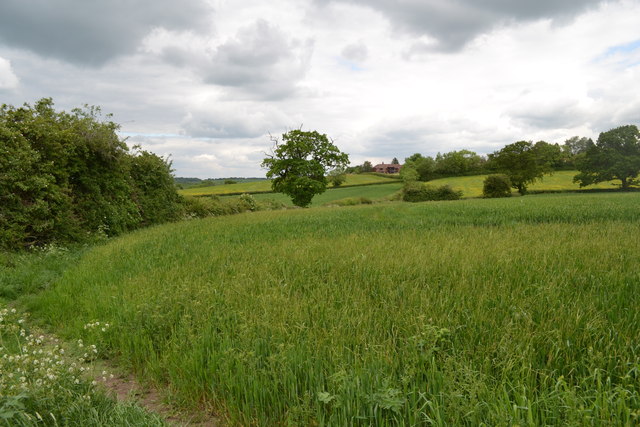
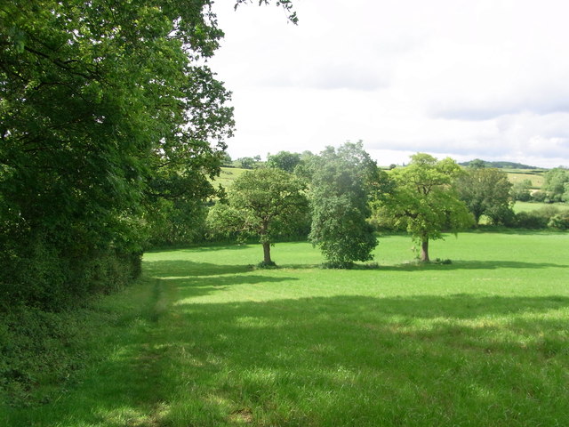
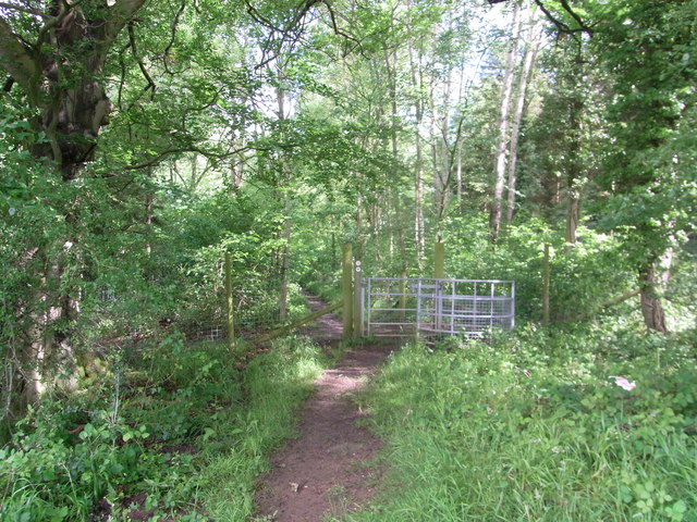
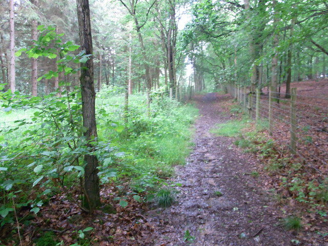
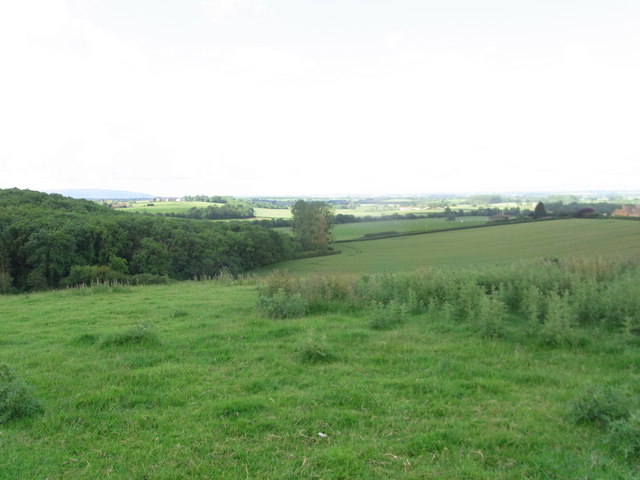
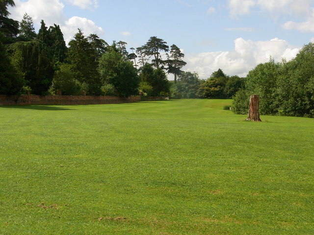
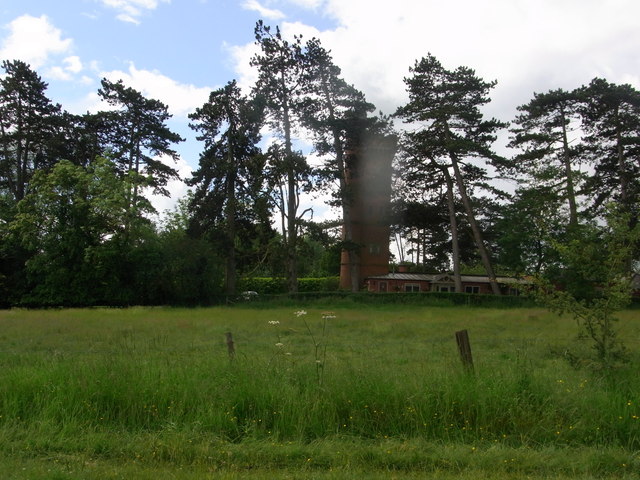
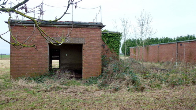
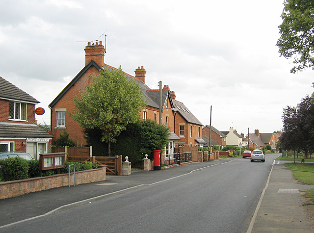
Church Lench Images

Images are sourced within 2km of 52.159645/-1.9628391 or Grid Reference SP0251. Thanks to Geograph Open Source API. All images are credited.

Oilseed Rape in the Lenches This is square has no building within it, farmland and arable land predominate.
Oilseed Rape in the Lenches
This is square has no building within it, farmland and arable land predominate.
Footpath through arable land The footpath following the hedgerow of this arable field is now the route of the Wychavon Way, I believe its route has recently been changed.
Footpath through arable land
The footpath following the hedgerow of this arable field is now the route of the Wychavon Way, I believe its route has recently been changed.
Footpath from Harvington Visible on the horizon is Atch Lench.
Footpath from Harvington
Visible on the horizon is Atch Lench.
Track below Manor Farm, Atch Lench View towards Harvington. Tree in centre is on the parish boundary that runs across the picture.
Track below Manor Farm, Atch Lench
View towards Harvington. Tree in centre is on the parish boundary that runs across the picture.
Footpath leading to footbridge south of Atch Lench Taken from the stile leading into the next field, just within the grid square.
Footpath leading to footbridge south of Atch Lench
Taken from the stile leading into the next field, just within the grid square.
Footpath leading to Atch Lench The footpath bends left before turning right and leading out of the grid square.
Footpath leading to Atch Lench
The footpath bends left before turning right and leading out of the grid square.
Wychavon Way along edge of  Old Yew Hill Wood
Wychavon Way along edge of Old Yew Hill Wood
Wychavon Way enters Old Yew Hill Wood
Fenced path alongside track Wychavon Way in Yeald Wood near the northern edge.
Fenced path alongside track
Wychavon Way in Yeald Wood near the northern edge.
View SW from Wychavon Way near Rous Lench
Impressive wall bounding the garden of Rous Lench Court
The Tower in grounds of Rous Lench Court The Tower is Grade II listed but appears to be private housing now.
The Tower in grounds of Rous Lench Court
The Tower is Grade II listed but appears to be private housing now.
Bridleway south of Slade Wood Looks dry but lots of standing water after several days of heavy rain.
Bridleway south of Slade Wood
Looks dry but lots of standing water after several days of heavy rain.
Bridleway track near North Farm,  Atch Lench
Bridleway track near North Farm, Atch Lench
Pumping Station, Evesham Road
Cottages in Ab Lench Short for Abbot's Lench, one of a series of Lench villages in east Worcestershire.
See <a href="https://www.geograph.org.uk/photo/442107">SP0151 : Ab Lench</a> for the opposite view.
Cottages in Ab Lench
Short for Abbot's Lench, one of a series of Lench villages in east Worcestershire. See SP0151 : Ab Lench for the opposite view.
Handgate farm crossroads An elongated country cross-lanes in the midst of The Lenches; left is to Sheriff's Lench, right to Lenchwick, ahead left to Church Lench and ahead right to Atch Lench.
Handgate farm crossroads
An elongated country cross-lanes in the midst of The Lenches; left is to Sheriff's Lench, right to Lenchwick, ahead left to Church Lench and ahead right to Atch Lench.
Disused property, Sheriff's Lench, 1 The disused buildings are north of the hamlet.
Disused property, Sheriff's Lench, 1
The disused buildings are north of the hamlet.
Show me another place!

Church Lench is located at Grid Ref: SP0251 (Lat: 52.159645, Lng: -1.9628391)

Administrative County: Worcestershire

District: Wychavon

Police Authority: West Mercia

What 3 Words

///surfacing.suspends.tried. Near Harvington, Worcestershire

Nearby Locations

Church Lench

Related Wikis

Church Lench

Church Lench is a village and former civil parish, now in the parish of South Lenches, in the Wychavon district, in the county of Worcestershire, England...

Atch Lench

Atch Lench is a village in Worcestershire, England. == External links == Media related to Atch Lench at Wikimedia Commons Atch Lench in the Domesday Book

Ab Lench

Ab Lench is a village and former civil parish, now in the parish of South Lenches, in the Wychavon district, in the county of Worcestershire, England...

Harvington

Harvington is a village near Evesham in Worcestershire, England. Bounded by the River Avon to the south and the Lench Hills to the north, three miles northeast...

Goom's Hill

Goom's Hill is a location near Abbots Morton in Worcestershire, England.

Norton and Lenchwick

Norton and Lenchwick is a civil parish in the Wychavon district, in the county of Worcestershire, England. The parish population in 2021 was 1,056. The...

Bishampton

Bishampton is a village and civil parish in the Wychavon district of Worcestershire, England with a population of 625. It contains a church, a village...

Abberton Hall

Abberton Hall is a small country house in the village of Abberton, Worcestershire, England, near Pershore. == History == It is an irregular two-story...

Nearby Amenities

Located within 500m of 52.159645,-1.9628391
Church Lench
Place: village
Source: NPE
Wikidata: Q2157307
Lat/Long: 52.1593965/-1.9628876
Bus Stop
Church Lench- Rous Lench turn
Bus: yes
Naptan AtcoCode: 2000G052700
Naptan Bearing: SE
Naptan CommonName: Church Lench- Rous Lench turn
Naptan Indicator: Adj
Naptan Landmark: Low Road- Rous Lench turn
Naptan NaptanCode: wocgajwa
Naptan Street: Atch Lench Road
Naptan Verified: no
Public Transport: platform
Source: naptan_import
Lat/Long: 52.1596819/-1.9625472
Bus Stop
Shelter
Bus: yes
Naptan AtcoCode: 2000G052701
Naptan Bearing: NW
Naptan CommonName: Shelter
Naptan Crossing: Rous Lench turn
Naptan Indicator: opp
Naptan Landmark: Bus Shelter
Naptan NaptanCode: wocgajwd
Naptan Street: Atch Lench Road
Naptan Verified: no
Public Transport: platform
Source: naptan_import
Lat/Long: 52.1595381/-1.962635
Bus Stop
Beehive Cottages
Bus: yes
Naptan AtcoCode: 2000G323392
Naptan Bearing: NE
Naptan CommonName: Beehive Cottages
Naptan Indicator: opp
Naptan Landmark: Beehive Cottages
Naptan NaptanCode: wocdjwtw
Naptan Street: Low Road
Naptan Verified: no
Public Transport: platform
Source: naptan_import
Lat/Long: 52.1626217/-1.9618284
Church Lench- Beehive Cottage
Naptan AtcoCode: 2000G672017
Naptan Bearing: SW
Naptan BusStopType: CUS
Naptan CommonName: Church Lench- Beehive Cottage
Naptan Indicator: Adj
Naptan Landmark: Beehive Cottage
Naptan NaptanCode: wocdwdgt
Naptan Street: Low Road
Naptan Verified: no
Source: naptan_import
Lat/Long: 52.1625856/-1.9615506
Bus Stop
Church Lench School
Bus: yes
Naptan AtcoCode: 2000G672018
Naptan Bearing: W
Naptan CommonName: Church Lench School
Naptan Indicator: Adj
Naptan Landmark: Church Lench School
Naptan NaptanCode: wocdwdgw
Naptan Street: Main Street
Naptan Verified: no
Public Transport: platform
Source: naptan_import
Lat/Long: 52.1593683/-1.9660559
Post Box
Brand: Royal Mail
Brand Wikidata: Q638098
Brand Wikipedia: en:Royal Mail
Collection Times: Mo-Fr 17:15; Sa 09:30
Operator: Royal Mail
Operator Wikidata: Q638098
Post Box Type: lamp
Ref: WR11 160
Royal Cypher: EIIR
Royal Cypher Wikidata: Q33102113
Source: survey
Lat/Long: 52.159506/-1.9653286
Barrier: stile
Foot: yes
Lat/Long: 52.158367/-1.9627927
Barrier: stile
Foot: yes
Lat/Long: 52.1578183/-1.9617134
Location Transition: yes
Power: pole
Transformer: distribution
Voltage Primary: 11000
Lat/Long: 52.159357/-1.9700241
Church Lench
Power: pole
Transformer: distribution
Voltage Primary: 11000
Lat/Long: 52.1599025/-1.9621261
Power: pole
Lat/Long: 52.1604837/-1.961765
Power: pole
Lat/Long: 52.1609419/-1.9610641
Location Transition: yes
Power: pole
Lat/Long: 52.1614332/-1.960347
Location Transition: yes
Power: pole
Lat/Long: 52.1615633/-1.9611749
Power: pole
Lat/Long: 52.1624229/-1.9608164
Power: pole
Lat/Long: 52.1628451/-1.9606413
Building: shelter
Lat/Long: 52.1582525/-1.9690234
Barrier: kissing_gate
Lat/Long: 52.1612091/-1.9623984
Barrier: kissing_gate
Source: survey
Lat/Long: 52.16079/-1.9651537
War Memorial
Historic: memorial
Source: survey
Lat/Long: 52.1595191/-1.9660431
Power: substation
Source: survey
Lat/Long: 52.1594689/-1.969412
Turning Loop
Lat/Long: 52.1595521/-1.9599378
Public Bookcase
Booth: K6
Colour: red
Disused Amenity: telephone
Man Made: telephone_box
Note: phone box has been moved to this new location and converted into book exchange
Public Bookcase Type: phone_box
Lat/Long: 52.1592488/-1.9682706
Information: board
Tourism: information
Lat/Long: 52.1594961/-1.9649741
Oak Farm Church Lench - Trans
Power: pole
Transformer: distribution
Voltage Primary: 11000
Lat/Long: 52.1606109/-1.9589728
Location Transition: yes
Power: pole
Lat/Long: 52.1605352/-1.9586114
Power: pole
Source: bing
Lat/Long: 52.1603468/-1.9572347
Power: pole
Source: bing
Lat/Long: 52.1602374/-1.9563536
The Low
Power: pole
Transformer: distribution
Voltage Primary: 11000
Lat/Long: 52.1636498/-1.9602254
The data included in this document is from www.openstreetmap.org. The data is made available under ODbL.

Have you been to Church Lench?

Leave your review of Church Lench below (or comments, questions and feedback).