Clannacombe Plantation

Wood, Forest in Somerset Somerset West and Taunton

England

Clannacombe Plantation

Long Combe
Long Combe Credit: Roger Cornfoot

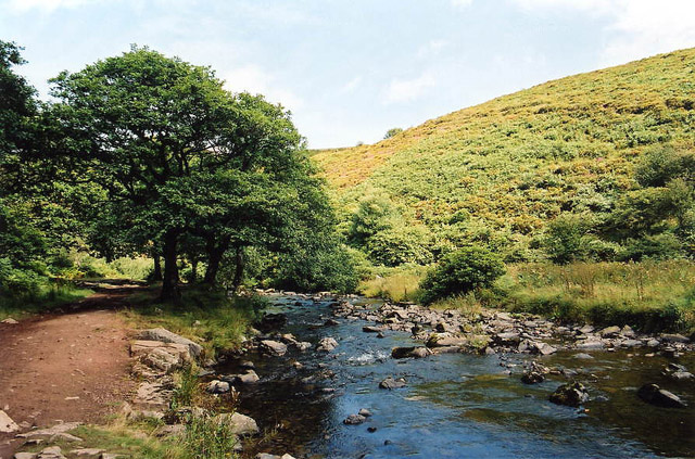
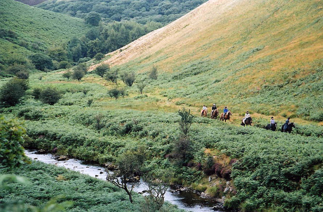
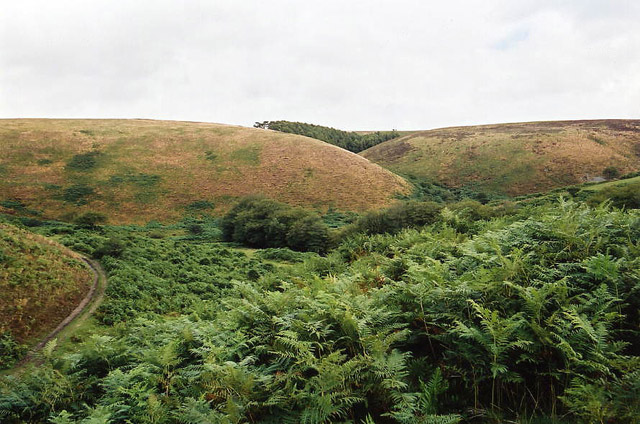
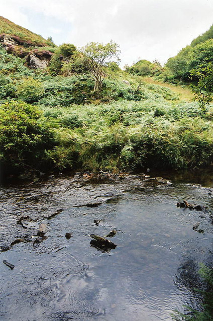
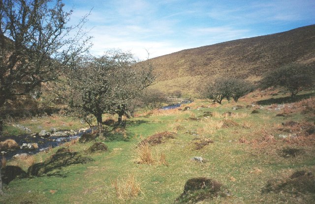
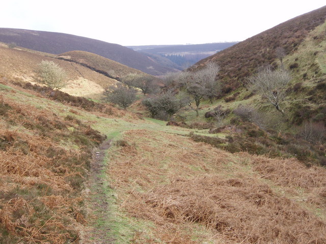
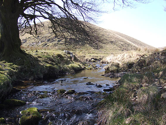
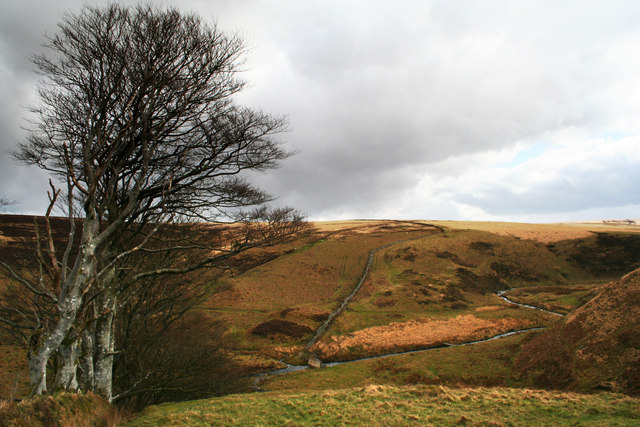
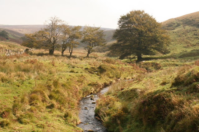
Clannacombe Plantation is a picturesque woodland located in Somerset, England. Covering an area of approximately 100 acres, it is a haven of natural beauty and biodiversity. The plantation is situated in the heart of the Somerset Levels and Moors, an area renowned for its stunning landscapes and rich wildlife.

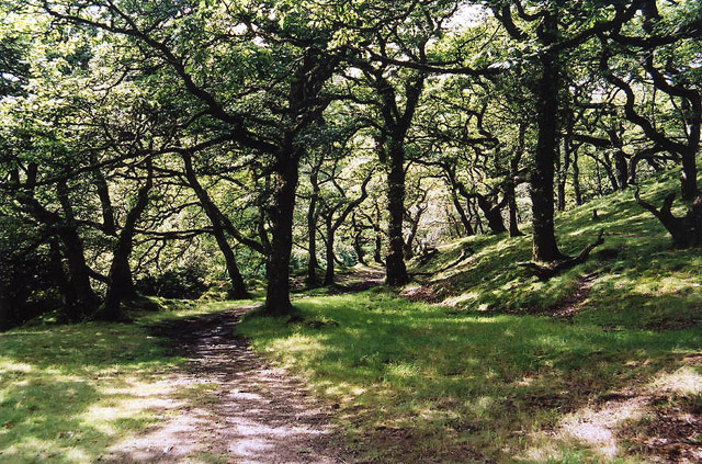
The woodland is predominantly composed of native tree species such as oak, ash, beech, and birch, creating a diverse and thriving ecosystem. The trees provide a dense canopy that shelters a wide range of flora and fauna, making it an ideal habitat for many species.

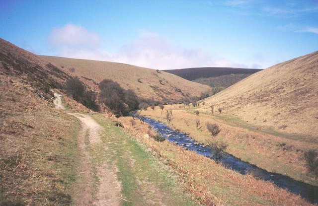
Visitors to Clannacombe Plantation can enjoy a network of well-maintained walking trails that meander through the woodland, offering stunning views and opportunities for wildlife spotting. The paths are accessible to both pedestrians and cyclists, making it a popular destination for outdoor enthusiasts.

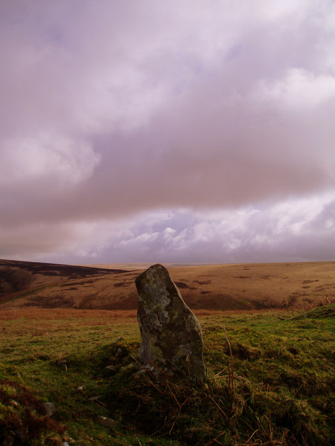
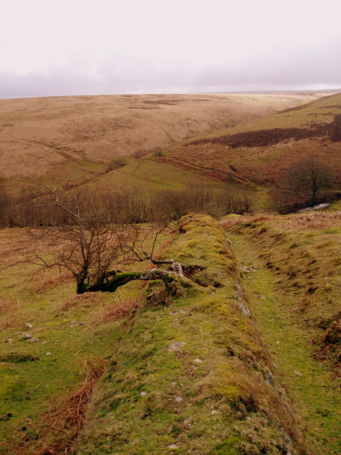
In addition to its natural beauty, Clannacombe Plantation also has historical significance. It was originally part of a larger estate and has been managed as a woodland for centuries. The remnants of old walls and boundaries can still be seen, adding to the charm and character of the area.

Clannacombe Plantation is a true gem of Somerset, offering a peaceful retreat from the hustle and bustle of everyday life. Whether you are a nature lover, a history enthusiast, or simply seeking tranquility, this woodland is a must-visit destination.

If you have any feedback on the listing, please let us know in the comments section below.

Clannacombe Plantation Images

Images are sourced within 2km of 51.184966/-3.7204811 or Grid Reference SS7944. Thanks to Geograph Open Source API. All images are credited.

Long Combe
Long Combe
Tom's Hill prehistoric stone row A wide double prehistoric stone row (or avenue) measuring 17.5m long, including 6 medium-sized stones. The row is orientated north to south. <span class="nowrap"><a title="https://stonerows.wordpress.com/gazetteer/region/exmoor/toms-hill/" rel="nofollow ugc noopener" href="https://stonerows.wordpress.com/gazetteer/region/exmoor/toms-hill/">Link</a><img style="margin-left:2px;" alt="External link" title="External link - shift click to open in new window" src="https://s1.geograph.org.uk/img/external.png" width="10" height="10"/></span>
Tom's Hill prehistoric stone row
A wide double prehistoric stone row (or avenue) measuring 17.5m long, including 6 medium-sized stones. The row is orientated north to south. LinkExternal link
Brendon: Badgworthy Wood Woodland on the walk south from Malmsmead to the 'Doone Country', beside Badgworthy Water
Brendon: Badgworthy Wood
Woodland on the walk south from Malmsmead to the 'Doone Country', beside Badgworthy Water
Brendon: Badgworthy Water With the Oare Water, Badgworthy Water combines to form the East Lyn, which meets the West Lyn at Lynmouth. By the path south from Malmsmead
Brendon: Badgworthy Water
With the Oare Water, Badgworthy Water combines to form the East Lyn, which meets the West Lyn at Lynmouth. By the path south from Malmsmead
Brendon: Badgworthy Water Badgworthy Water provides the border between west Somerset and north Devon. Riders on the Somerset bank in Oare parish
Brendon: Badgworthy Water
Badgworthy Water provides the border between west Somerset and north Devon. Riders on the Somerset bank in Oare parish
Brendon: site of medieval village Overlooking the site of a medieval village at the foot of Hoccombe Combe, in 'Doone Country', lost in the bracken
Brendon: site of medieval village
Overlooking the site of a medieval village at the foot of Hoccombe Combe, in 'Doone Country', lost in the bracken
Brendon: Badgworthy Water Looking east to the Somerset bank
Brendon: Badgworthy Water
Looking east to the Somerset bank
Badgworthy Water River, deep in the moor.  Heads north to join the East Lyn.
Badgworthy Water
River, deep in the moor. Heads north to join the East Lyn.
Badgworthy Water The river downstream and north of the medieval village.
Badgworthy Water
The river downstream and north of the medieval village.
Crossing Badgworthy Water Riders crossing in a south west direction heading towards the remains of the medieval village.
Crossing Badgworthy Water
Riders crossing in a south west direction heading towards the remains of the medieval village.
Looking down Lankcombe The path leads down to the valley of Badgworthy Water, Little Black Hill on the left.
Looking down Lankcombe
The path leads down to the valley of Badgworthy Water, Little Black Hill on the left.
Standing stone above Badgworthy Water Standing stone on Badgworthy Lees above Badgworthy Water which flows through the Doone Valley (made famous in RD Blackmore's "Lorna Doone"). There is also a deserted medieval village in the valley below this stone.
Standing stone above Badgworthy Water
Standing stone on Badgworthy Lees above Badgworthy Water which flows through the Doone Valley (made famous in RD Blackmore's "Lorna Doone"). There is also a deserted medieval village in the valley below this stone.
Field boundary looking South from Badgworthy Lees Field boundary looking South from Badgworthy Lees into Hoccombe Combe.
Field boundary looking South from Badgworthy Lees
Field boundary looking South from Badgworthy Lees into Hoccombe Combe.
Hoccombe Water, Exmoor Looking south west, at the confluence of the main water and (Lanacombe?) stream
Hoccombe Water, Exmoor
Looking south west, at the confluence of the main water and (Lanacombe?) stream
Toms Hills Barrows Exmoor This view is at the very head of the Doone Valley.
Toms Hills Barrows Exmoor
This view is at the very head of the Doone Valley.
Trees by Hoccombe Water At the point where a stream from below Great Buscombe joins Hoccombe Water.
Trees by Hoccombe Water
At the point where a stream from below Great Buscombe joins Hoccombe Water.
Ford on the bridleway to Badgworthy The bridleway approaches from the right through the gate then climbs gently across the side of Hoccombe Hill.
Ford on the bridleway to Badgworthy
The bridleway approaches from the right through the gate then climbs gently across the side of Hoccombe Hill.
Path to Badgworthy Having crossed by the footbridge the path follows Badgworthy Water towards the site of the medieval village.
Path to Badgworthy
Having crossed by the footbridge the path follows Badgworthy Water towards the site of the medieval village.
Show me another place!

Clannacombe Plantation is located at Grid Ref: SS7944 (Lat: 51.184966, Lng: -3.7204811)

Administrative County: Somerset

District: Somerset West and Taunton

Police Authority: Avon and Somerset

What 3 Words

///shame.torn.sand. Near Porlock, Somerset

Related Wikis

North Exmoor SSSI

North Exmoor (grid reference SS800430) is a 12,005.3-hectare (29,666-acre) biological Site of Special Scientific Interest (SSSI) in Devon and Somerset...

Lanacombe

Lanacombe is an area of Exmoor in Somerset, South West England. It is the site of several standing stones and cairns which have been scheduled as ancient...

Oare, Somerset

Oare is a village and civil parish on Oare Water on Exmoor in the Somerset West and Taunton district of Somerset, England. It is located 6 miles (10 km...

Church of St Mary, Oare

The Anglican Church of St Mary in Oare, Somerset, England, was built in the 15th century. It is a Grade II* listed building. == History == The nave and...

Robber's Bridge

Robber's Bridge, or Robbers Bridge, is an old masonry arch bridge in the royal forest of Exmoor near Doone Valley, carrying the minor road from Porlock...

Malmsmead Bridge

Malmsmead Bridge is a 17th-century stone bridge which crosses Badgworthy Water in the hamlet of Malmsmead, on the road between Oare and Brendon. The Badgworthy...

Malmsmead

Malmsmead is a hamlet on the border between the English counties of Devon and Somerset. The nearest town is Lynton, which lies approximately 4.7 miles...

Oare Water

Oare Water passes through the village of Oare, on Exmoor in Somerset, England. It joins Badgworthy Water before flowing to Watersmeet and the Bristol Channel...

Nearby Amenities

Located within 500m of 51.184966,-3.7204811
Natural: spring
Lat/Long: 51.1826705/-3.7208806
The data included in this document is from www.openstreetmap.org. The data is made available under ODbL.

Have you been to Clannacombe Plantation?

Leave your review of Clannacombe Plantation below (or comments, questions and feedback).