Church Langton
Settlement in Leicestershire Harborough
England
Church Langton

The requested URL returned error: 429 Too Many Requests
If you have any feedback on the listing, please let us know in the comments section below.
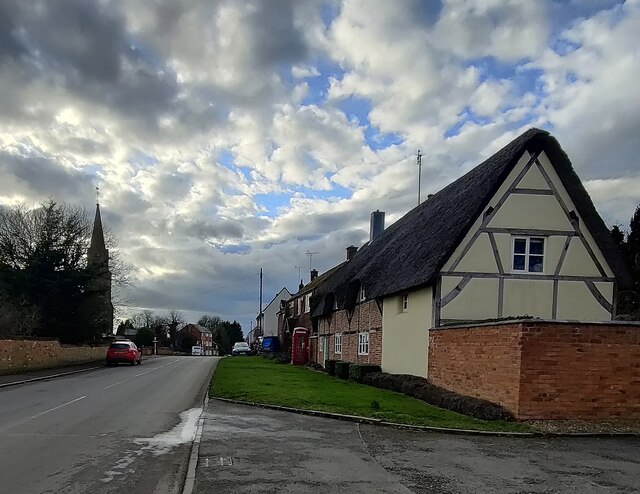
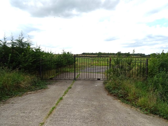
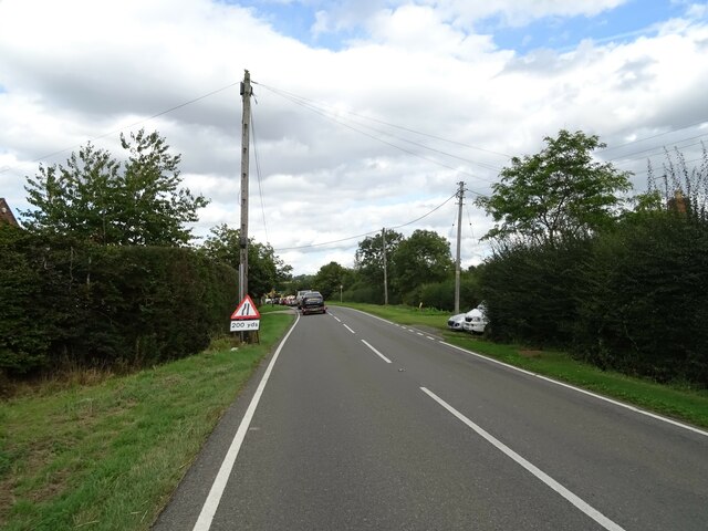
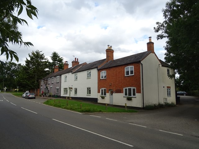
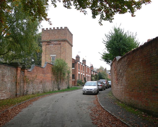
Church Langton Images
Images are sourced within 2km of 52.533319/-0.929223 or Grid Reference SP7293. Thanks to Geograph Open Source API. All images are credited.


Church Langton is located at Grid Ref: SP7293 (Lat: 52.533319, Lng: -0.929223)
Administrative County: Leicestershire
District: Harborough
Police Authority: Leicestershire
What 3 Words
///comply.slipping.towel. Near Kibworth Harcourt, Leicestershire
Nearby Locations
Related Wikis

The Langtons
The Langtons is an area of Harborough, Leicestershire, England comprising the following villages: Church Langton East Langton Thorpe Langton Tur Langton...
East Langton
East Langton (derived from the Anglo-Saxon word for an enclosure, meaning "long town") is a village and civil parish in the Harborough district of Leicestershire...
West Langton
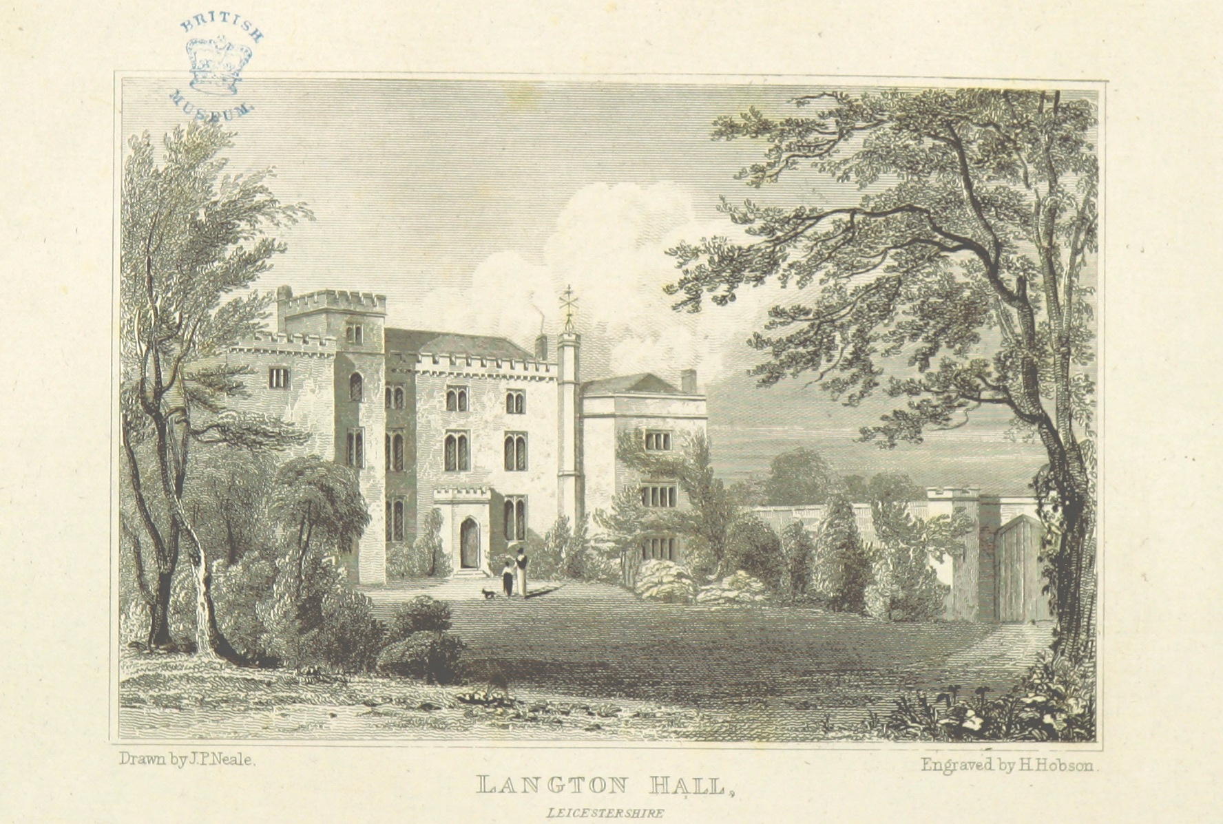
West Langton is a civil parish in the Harborough district of Leicestershire, England. The main settlement in the parish is Langton Hall (not to be confused...
Knave Hill
Knave Hill is an archaeological site near the village of Stonton Wyville, Leicestershire, in the English East Midlands. It was excavated by Channel 4's...
Nearby Amenities
Located within 500m of 52.533319,-0.929223Have you been to Church Langton?
Leave your review of Church Langton below (or comments, questions and feedback).