Aller's Copse
Wood, Forest in Devon Mid Devon
England
Aller's Copse
Aller's Copse is a picturesque woodland located in the county of Devon, England. Situated on the outskirts of a small village, this charming forest is a haven for nature enthusiasts and those seeking tranquility amidst the beauty of the natural world.
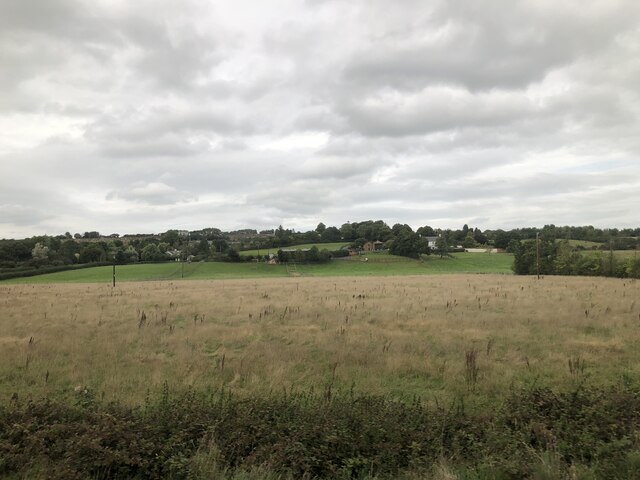
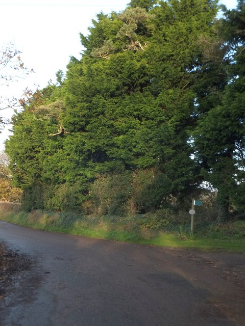
Covering an area of approximately 50 acres, Aller's Copse is characterized by its dense canopy of ancient trees, including oak, ash, and beech. The forest floor is adorned with a diverse array of flora, such as bluebells, wild garlic, and ferns, creating a vibrant and enchanting atmosphere throughout the seasons.
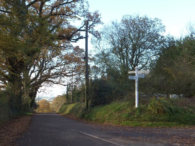
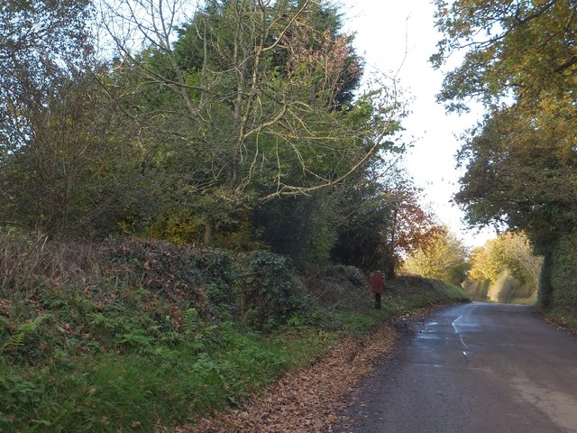
The woodland is crisscrossed by a network of well-maintained footpaths, allowing visitors to explore its various nooks and crannies. As they wander through the forest, visitors may encounter a variety of wildlife, including rabbits, badgers, and a rich assortment of bird species. The tranquil ambiance of the copse provides an excellent opportunity for birdwatching and the chance to spot some of the rarer species that call this woodland home.
Aller's Copse is often used as a recreational area for locals and visitors alike, with picnic spots and benches strategically placed throughout the forest, providing an ideal setting for a leisurely lunch or a moment of quiet contemplation.
The copse is also a popular destination for educational visits, as it offers an opportunity for students to learn about the local ecosystem and the importance of conservation. Guided tours are available, led by knowledgeable experts who provide valuable insights into the copse's flora, fauna, and ecological significance.
Aller's Copse is truly a hidden gem in the heart of Devon, offering a peaceful retreat for those seeking solace in the natural world and a chance to immerse themselves in the captivating beauty of a thriving woodland ecosystem.
If you have any feedback on the listing, please let us know in the comments section below.
Aller's Copse Images
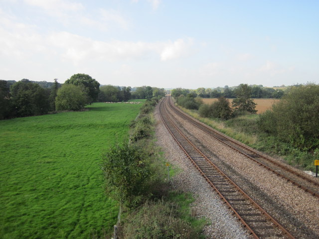
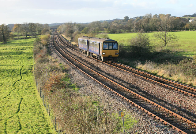
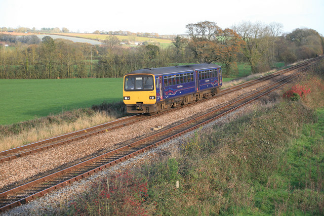
Images are sourced within 2km of 50.763006/-3.7096615 or Grid Reference SX7997. Thanks to Geograph Open Source API. All images are credited.


Aller's Copse is located at Grid Ref: SX7997 (Lat: 50.763006, Lng: -3.7096615)
Administrative County: Devon
District: Mid Devon
Police Authority: Devon and Cornwall
What 3 Words
///trickle.marmalade.waitress. Near Crediton, Devon
Nearby Locations
Related Wikis

Posbury
Posbury is an ancient estate in Devon, now a hamlet, situated about 2 miles south-west of Crediton and 2 miles north of Tedburn St Mary and 1 mile west...

Crediton Hamlets
Crediton Hamlets is a civil parish in Mid Devon in the English county of Devon. It has a population of 1,307. == References ==

Yeoford
Yeoford () is a village near the town of Crediton in Devon, England. It is served by Yeoford railway station on the Exeter to Barnstaple railway line,...

River Yeo (tributary of the Creedy)
The River Yeo is a tributary to the River Creedy. It is located in Devon, England, and its headwaters float within two miles of a different River Yeo,...
Nearby Amenities
Located within 500m of 50.763006,-3.7096615Have you been to Aller's Copse?
Leave your review of Aller's Copse below (or comments, questions and feedback).