Badgworthy Wood

Wood, Forest in Devon North Devon

England

Badgworthy Wood

The Withy Combe A valley from the south with a stream joining the Weir Water
The Withy Combe Credit: David Smith

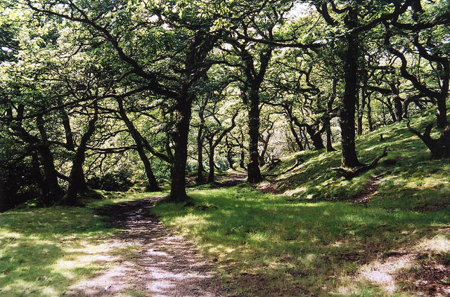
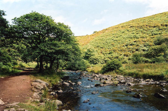
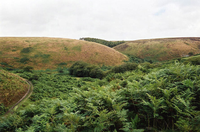
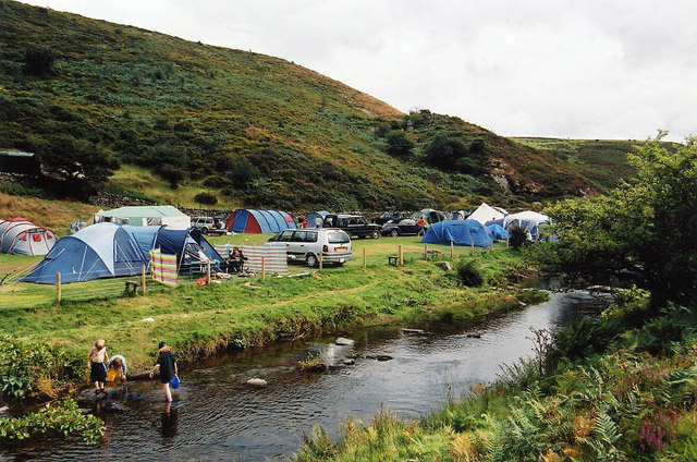
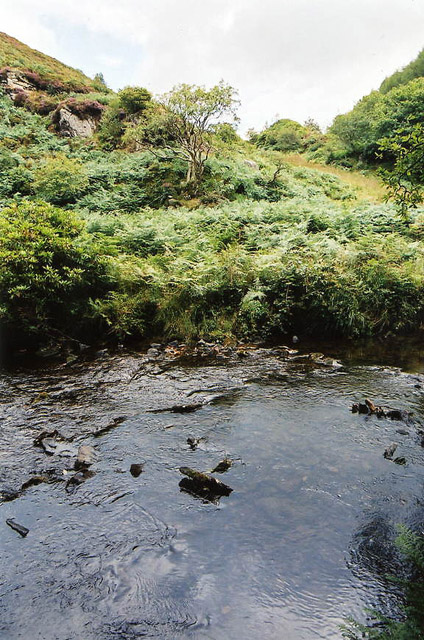
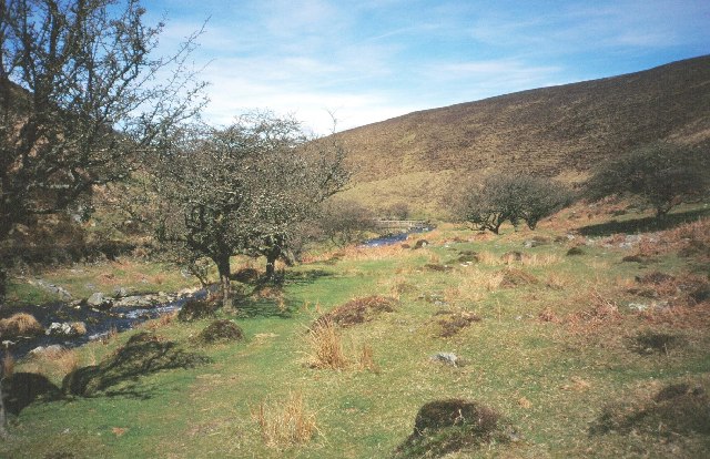
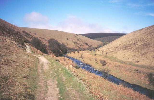
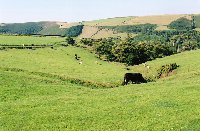
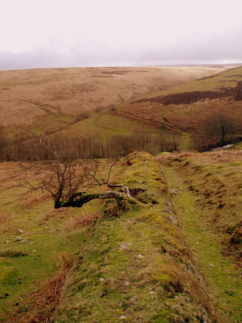
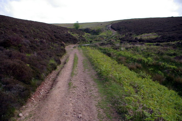
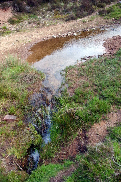
Badgworthy Wood is a picturesque woodland located in the county of Devon, England. Situated within the Exmoor National Park, it covers an area of approximately 400 acres and is renowned for its stunning natural beauty and diverse ecosystem.

The wood is primarily composed of oak and beech trees, which create a dense canopy overhead, casting dappled sunlight on the forest floor below. The undergrowth is rich and varied, with an array of ferns, mosses, and wildflowers, creating a vibrant and magical atmosphere.

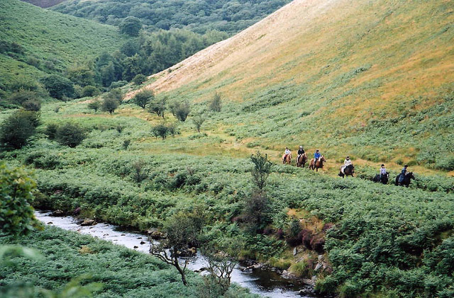
Badgworthy Wood is home to a wide range of wildlife, including a number of rare and endangered species. Birdwatchers will be delighted by the presence of woodpeckers, buzzards, and owls, while nature enthusiasts may be lucky enough to spot deer, badgers, foxes, and even the elusive Exmoor ponies that roam the area.

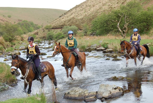
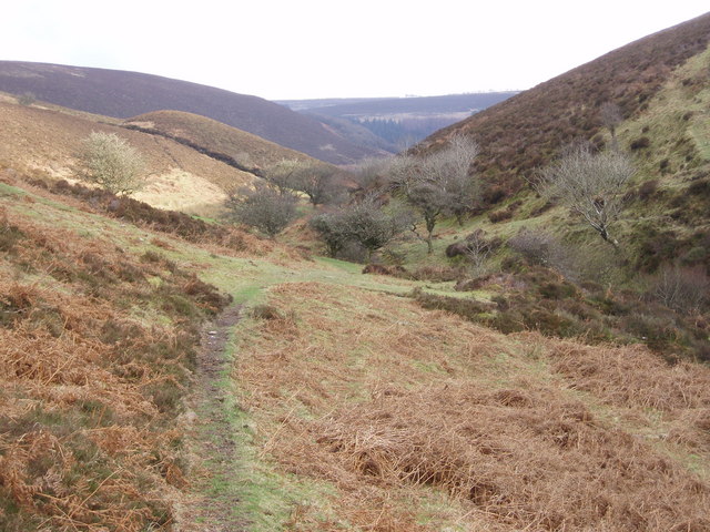
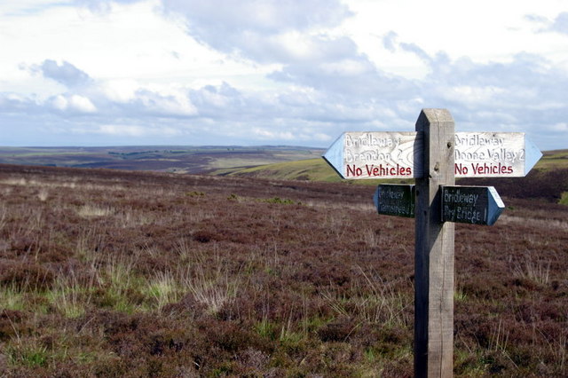
Visitors to Badgworthy Wood can explore the numerous walking trails that wind their way through the woodland, offering breathtaking views and a chance to immerse themselves in nature. The wood is particularly popular during the spring and summer months when the trees are in full bloom, and the air is filled with the sweet scent of wildflowers.

Badgworthy Wood is not only a haven for wildlife but also a place of historical interest. It is said to have inspired the famous novel "Lorna Doone" by R.D. Blackmore, with the fictional Doone Valley being based on the nearby area.

Overall, Badgworthy Wood is a true gem of Devon, offering visitors a chance to reconnect with nature and experience the tranquility and beauty of a traditional English woodland.

If you have any feedback on the listing, please let us know in the comments section below.

Badgworthy Wood Images

Images are sourced within 2km of 51.195273/-3.7301538 or Grid Reference SS7945. Thanks to Geograph Open Source API. All images are credited.

The Withy Combe A valley from the south with a stream joining the Weir Water
The Withy Combe
A valley from the south with a stream joining the Weir Water
Brendon: Badgworthy Wood Woodland on the walk south from Malmsmead to the 'Doone Country', beside Badgworthy Water
Brendon: Badgworthy Wood
Woodland on the walk south from Malmsmead to the 'Doone Country', beside Badgworthy Water
Brendon: Badgworthy Water With the Oare Water, Badgworthy Water combines to form the East Lyn, which meets the West Lyn at Lynmouth. By the path south from Malmsmead
Brendon: Badgworthy Water
With the Oare Water, Badgworthy Water combines to form the East Lyn, which meets the West Lyn at Lynmouth. By the path south from Malmsmead
Brendon: Badgworthy Water Badgworthy Water provides the border between west Somerset and north Devon. Riders on the Somerset bank in Oare parish
Brendon: Badgworthy Water
Badgworthy Water provides the border between west Somerset and north Devon. Riders on the Somerset bank in Oare parish
Brendon: site of medieval village Overlooking the site of a medieval village at the foot of Hoccombe Combe, in 'Doone Country', lost in the bracken
Brendon: site of medieval village
Overlooking the site of a medieval village at the foot of Hoccombe Combe, in 'Doone Country', lost in the bracken
Brendon: view to Cloud Farm camp site Cloud Farm is across the county boundary in Somerset. The river is Badgworthy Water and nearby, on the Devon bank, is the memorial stone to R D Blackmore, the creator of 'Lorna Doone'
Brendon: view to Cloud Farm camp site
Cloud Farm is across the county boundary in Somerset. The river is Badgworthy Water and nearby, on the Devon bank, is the memorial stone to R D Blackmore, the creator of 'Lorna Doone'
Brendon: Badgworthy Water Looking east to the Somerset bank
Brendon: Badgworthy Water
Looking east to the Somerset bank
Badgworthy Water River, deep in the moor.  Heads north to join the East Lyn.
Badgworthy Water
River, deep in the moor. Heads north to join the East Lyn.
Badgworthy Water The river downstream and north of the medieval village.
Badgworthy Water
The river downstream and north of the medieval village.
Oare: field with carriage gutters To the south of Oare Manor, whence a leat ran all the way from Land Combe, serving the carriage gutters – an irrigation system – on the way
Oare: field with carriage gutters
To the south of Oare Manor, whence a leat ran all the way from Land Combe, serving the carriage gutters – an irrigation system – on the way
Crossing Badgworthy Water Riders crossing in a south west direction heading towards the remains of the medieval village.
Crossing Badgworthy Water
Riders crossing in a south west direction heading towards the remains of the medieval village.
Looking down Lankcombe The path leads down to the valley of Badgworthy Water, Little Black Hill on the left.
Looking down Lankcombe
The path leads down to the valley of Badgworthy Water, Little Black Hill on the left.
Standing stone above Badgworthy Water Standing stone on Badgworthy Lees above Badgworthy Water which flows through the Doone Valley (made famous in RD Blackmore's "Lorna Doone"). There is also a deserted medieval village in the valley below this stone.
Standing stone above Badgworthy Water
Standing stone on Badgworthy Lees above Badgworthy Water which flows through the Doone Valley (made famous in RD Blackmore's "Lorna Doone"). There is also a deserted medieval village in the valley below this stone.
Field boundary looking South from Badgworthy Lees Field boundary looking South from Badgworthy Lees into Hoccombe Combe.
Field boundary looking South from Badgworthy Lees
Field boundary looking South from Badgworthy Lees into Hoccombe Combe.
Badgworthy Water ...or Badgery Water as they say up there. Looking downstream between Cloud Farm and Malmsmead.
Badgworthy Water
...or Badgery Water as they say up there. Looking downstream between Cloud Farm and Malmsmead.
Ford Close up view of ford at location shown in previous picture.
Ford
Close up view of ford at location shown in previous picture.
Bridleway Crossroads View East towards Great Black Hill, not that it stands out as one!
Bridleway Crossroads
View East towards Great Black Hill, not that it stands out as one!
Show me another place!

Badgworthy Wood is located at Grid Ref: SS7945 (Lat: 51.195273, Lng: -3.7301538)

Administrative County: Devon

District: North Devon

Police Authority: Devon and Cornwall

What 3 Words

///snowy.potions.responds. Near Lynton, Devon

Related Wikis

Oare, Somerset

Oare is a village and civil parish on Oare Water on Exmoor in the Somerset West and Taunton district of Somerset, England. It is located 6 miles (10 km...

Church of St Mary, Oare

The Anglican Church of St Mary in Oare, Somerset, England, was built in the 15th century. It is a Grade II* listed building. == History == The nave and...

Malmsmead Bridge

Malmsmead Bridge is a 17th-century stone bridge which crosses Badgworthy Water in the hamlet of Malmsmead, on the road between Oare and Brendon. The Badgworthy...

Malmsmead

Malmsmead is a hamlet on the border between the English counties of Devon and Somerset. The nearest town is Lynton, which lies approximately 4.7 miles...

Have you been to Badgworthy Wood?

Leave your review of Badgworthy Wood below (or comments, questions and feedback).